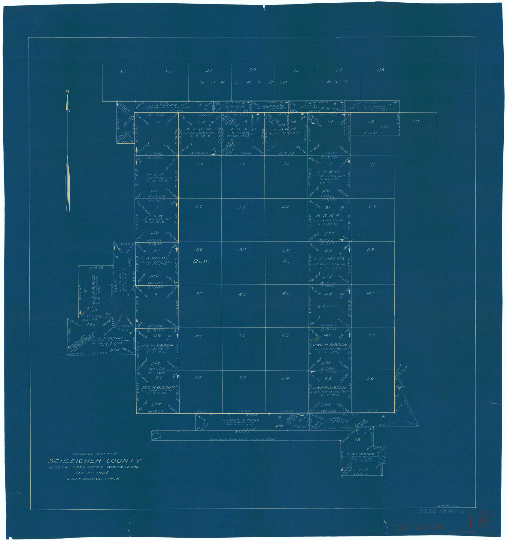
Schleicher County Working Sketch 12
-
Map/Doc
63814
-
Collection
General Map Collection
-
Object Dates
9/30/1925 (Creation Date)
-
People and Organizations
G.C. Morriss (Draftsman)
-
Counties
Schleicher
-
Subjects
Surveying Working Sketch
-
Height x Width
23.7 x 22.2 inches
60.2 x 56.4 cm
-
Scale
1" = 1000 varas
Part of: General Map Collection
Sutton County Working Sketch 4

Print $20.00
- Digital $50.00
Sutton County Working Sketch 4
1969
Size 40.3 x 32.2 inches
Map/Doc 62347
Presidio County Rolled Sketch 137

Print $20.00
- Digital $50.00
Presidio County Rolled Sketch 137
1999
Size 38.7 x 47.9 inches
Map/Doc 8352
Northern Part of Laguna Madre

Print $20.00
- Digital $50.00
Northern Part of Laguna Madre
1946
Size 43.8 x 34.5 inches
Map/Doc 73523
Map of Hill County

Print $40.00
- Digital $50.00
Map of Hill County
1884
Size 80.0 x 35.2 inches
Map/Doc 93379
Flight Mission No. CUG-2P, Frame 63, Kleberg County

Print $20.00
- Digital $50.00
Flight Mission No. CUG-2P, Frame 63, Kleberg County
1956
Size 18.5 x 22.2 inches
Map/Doc 86200
Limestone County Sketch File 6

Print $4.00
- Digital $50.00
Limestone County Sketch File 6
1859
Size 9.2 x 8.0 inches
Map/Doc 30167
Presidio County Rolled Sketch 140

Print $20.00
- Digital $50.00
Presidio County Rolled Sketch 140
2003
Size 44.4 x 34.7 inches
Map/Doc 78654
El Paso County Rolled Sketch 18

Print $20.00
- Digital $50.00
El Paso County Rolled Sketch 18
Size 30.0 x 33.4 inches
Map/Doc 5822
Kleberg County Rolled Sketch 10-23

Print $20.00
- Digital $50.00
Kleberg County Rolled Sketch 10-23
1953
Size 37.5 x 31.3 inches
Map/Doc 9396
Val Verde County Sketch File Z13

Print $4.00
- Digital $50.00
Val Verde County Sketch File Z13
1898
Size 11.5 x 8.6 inches
Map/Doc 39142
Taylor County Working Sketch Graphic Index

Print $20.00
- Digital $50.00
Taylor County Working Sketch Graphic Index
1934
Size 42.8 x 36.4 inches
Map/Doc 76709
Val Verde County

Print $20.00
- Digital $50.00
Val Verde County
1944
Size 41.3 x 36.6 inches
Map/Doc 95661
You may also like
Webb County Sketch File 1a

Print $20.00
- Digital $50.00
Webb County Sketch File 1a
1871
Size 23.3 x 18.0 inches
Map/Doc 12623
Yellow Fever Deaths in the United States

Yellow Fever Deaths in the United States
2022
Size 8.5 x 11.0 inches
Map/Doc 97093
Castro County Sketch File 18

Print $20.00
- Digital $50.00
Castro County Sketch File 18
1988
Size 40.4 x 37.7 inches
Map/Doc 10330
Sulphur River, Bassett Sheet

Print $20.00
- Digital $50.00
Sulphur River, Bassett Sheet
1939
Size 23.9 x 31.5 inches
Map/Doc 69683
San Saba County Boundary File 1

Print $4.00
- Digital $50.00
San Saba County Boundary File 1
Size 14.2 x 8.7 inches
Map/Doc 58575
The Sunshine Special - Quickest of 'em all - Hosuton to St. Louis leaves Houston 12:45 p.m. San Antonio 9 a.m.

Print $20.00
- Digital $50.00
The Sunshine Special - Quickest of 'em all - Hosuton to St. Louis leaves Houston 12:45 p.m. San Antonio 9 a.m.
1925
Size 9.0 x 7.7 inches
Map/Doc 95780
Leon County Working Sketch 35

Print $20.00
- Digital $50.00
Leon County Working Sketch 35
1978
Size 43.8 x 38.3 inches
Map/Doc 70434

Shackelford County Sketch File 3

Print $8.00
- Digital $50.00
Shackelford County Sketch File 3
1852
Size 8.2 x 7.3 inches
Map/Doc 36574
Dimmit County Boundary File 3

Print $12.00
- Digital $50.00
Dimmit County Boundary File 3
Size 14.4 x 8.9 inches
Map/Doc 52566

