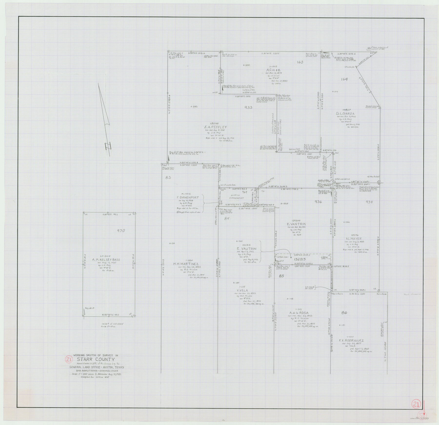
Starr County Working Sketch 21
-
Map/Doc
63937
-
Collection
General Map Collection
-
Object Dates
8/31/1982 (Creation Date)
-
People and Organizations
Earl Alexander (Draftsman)
-
Counties
Starr
-
Subjects
Surveying Working Sketch
-
Height x Width
32.6 x 33.7 inches
82.8 x 85.6 cm
-
Scale
1" = 300 varas
Part of: General Map Collection
Flight Mission No. BRE-1P, Frame 126, Nueces County

Print $20.00
- Digital $50.00
Flight Mission No. BRE-1P, Frame 126, Nueces County
1956
Size 18.4 x 22.4 inches
Map/Doc 86692
Brooks County Rolled Sketch 25

Print $20.00
- Digital $50.00
Brooks County Rolled Sketch 25
1945
Size 21.6 x 26.4 inches
Map/Doc 5345
Childress County Sketch File 7

Print $20.00
- Digital $50.00
Childress County Sketch File 7
Size 14.9 x 17.6 inches
Map/Doc 11079
Mills County Working Sketch 25

Print $20.00
- Digital $50.00
Mills County Working Sketch 25
1988
Size 22.0 x 25.1 inches
Map/Doc 71055

Trinity County Sketch File 5b

Print $4.00
- Digital $50.00
Trinity County Sketch File 5b
1855
Size 12.6 x 8.0 inches
Map/Doc 38506
Coke County Working Sketch 23

Print $20.00
- Digital $50.00
Coke County Working Sketch 23
1954
Size 42.4 x 35.7 inches
Map/Doc 68060
Terrell County

Print $20.00
- Digital $50.00
Terrell County
1905
Size 41.2 x 31.3 inches
Map/Doc 63060
McMullen County Rolled Sketch 13

Print $20.00
- Digital $50.00
McMullen County Rolled Sketch 13
1943
Size 45.8 x 29.4 inches
Map/Doc 6730
Uvalde County Sketch File 32

Print $12.00
- Digital $50.00
Uvalde County Sketch File 32
2008
Size 8.5 x 11.0 inches
Map/Doc 89025
Jeff Davis County Sketch File 26 1/2

Print $10.00
- Digital $50.00
Jeff Davis County Sketch File 26 1/2
Size 9.0 x 10.4 inches
Map/Doc 27999
Colorado River, LaGrange Sheet

Print $20.00
- Digital $50.00
Colorado River, LaGrange Sheet
1934
Size 37.8 x 32.9 inches
Map/Doc 65302
You may also like
Dry Fork of Brushy Creek

Print $2.00
- Digital $50.00
Dry Fork of Brushy Creek
Size 7.1 x 6.8 inches
Map/Doc 78380
Collin County Boundary File 18e

Print $16.00
- Digital $50.00
Collin County Boundary File 18e
Size 6.8 x 8.1 inches
Map/Doc 51749
Working Sketch in Hutchinson County

Print $20.00
- Digital $50.00
Working Sketch in Hutchinson County
1922
Size 16.9 x 13.6 inches
Map/Doc 91251
Bandera County Sketch File 19

Print $40.00
- Digital $50.00
Bandera County Sketch File 19
Size 15.9 x 18.9 inches
Map/Doc 10893
General Highway Map, Bandera County, Texas

Print $20.00
General Highway Map, Bandera County, Texas
1961
Size 18.3 x 25.0 inches
Map/Doc 79360
Culberson County Sketch File 35

Print $34.00
- Digital $50.00
Culberson County Sketch File 35
1959
Size 11.2 x 8.7 inches
Map/Doc 20295
Rockwall County Working Sketch 4

Print $20.00
- Digital $50.00
Rockwall County Working Sketch 4
1966
Size 34.9 x 28.9 inches
Map/Doc 63596
Crockett County Rolled Sketch 92

Print $20.00
- Digital $50.00
Crockett County Rolled Sketch 92
1977
Size 43.0 x 25.2 inches
Map/Doc 5632
Fractional Township No. 7 South Range No. 15 East of the Indian Meridian, Indian Territory

Print $20.00
- Digital $50.00
Fractional Township No. 7 South Range No. 15 East of the Indian Meridian, Indian Territory
1896
Size 19.2 x 24.3 inches
Map/Doc 75226
Jefferson County Rolled Sketch 60

Print $20.00
- Digital $50.00
Jefferson County Rolled Sketch 60
1885
Size 31.0 x 35.6 inches
Map/Doc 9315
[Surveys in the Bexar District along the Frio River]
![315, [Surveys in the Bexar District along the Frio River], General Map Collection](https://historictexasmaps.com/wmedia_w700/maps/315.tif.jpg)
Print $2.00
- Digital $50.00
[Surveys in the Bexar District along the Frio River]
1847
Size 15.8 x 9.2 inches
Map/Doc 315
University Land Field Notes for Blocks K, L, M, and N in Hudspeth County

University Land Field Notes for Blocks K, L, M, and N in Hudspeth County
Map/Doc 81713