[Galveston, Harrisburg & San Antonio through El Paso County]
Z-2-2
-
Map/Doc
64013
-
Collection
General Map Collection
-
Object Dates
1906 (Creation Date)
-
Counties
El Paso
-
Subjects
Railroads
-
Height x Width
13.5 x 33.5 inches
34.3 x 85.1 cm
-
Medium
blueprint/diazo
-
Comments
See counter nos. 64001 through 64012 and 64014 through 64015 for other sections of the map.
-
Features
GH&SA
[Railroad line] to Houston
Torcer
[Railroad line] to El Paso
Part of: General Map Collection
J No. 8 - Reconnaissance of the Harbors of Santa Cruz, San Simeon, Coxo, and San Luis Obispo, California


Print $20.00
- Digital $50.00
J No. 8 - Reconnaissance of the Harbors of Santa Cruz, San Simeon, Coxo, and San Luis Obispo, California
1852
Size 19.2 x 16.6 inches
Map/Doc 97235
Hutchinson County Sketch File 22
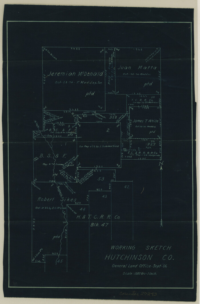

Print $4.00
- Digital $50.00
Hutchinson County Sketch File 22
1906
Size 13.0 x 8.5 inches
Map/Doc 27243
Castro County Boundary File 1c


Print $40.00
- Digital $50.00
Castro County Boundary File 1c
Size 24.2 x 19.2 inches
Map/Doc 51224
Stephens County Working Sketch 24
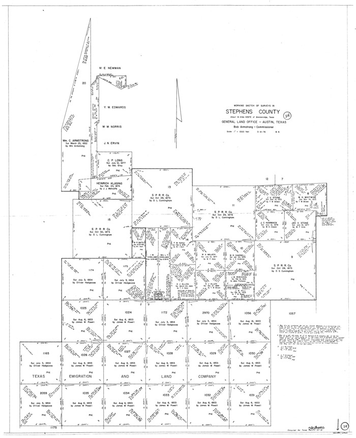

Print $20.00
- Digital $50.00
Stephens County Working Sketch 24
1976
Size 39.2 x 31.9 inches
Map/Doc 63967
Duval County Sketch File 40b


Print $20.00
- Digital $50.00
Duval County Sketch File 40b
Size 28.0 x 31.4 inches
Map/Doc 11396
Williamson County Sketch File 10
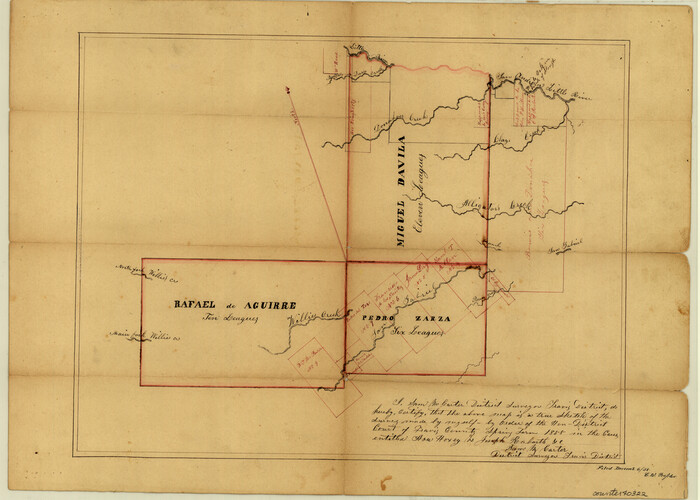

Print $22.00
- Digital $50.00
Williamson County Sketch File 10
1858
Size 12.2 x 17.1 inches
Map/Doc 40322
Eastland County Working Sketch 22
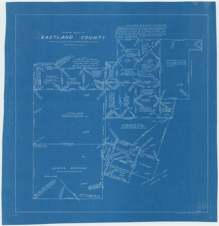

Print $20.00
- Digital $50.00
Eastland County Working Sketch 22
1920
Size 19.9 x 19.2 inches
Map/Doc 68803
Panola County Rolled Sketch 4
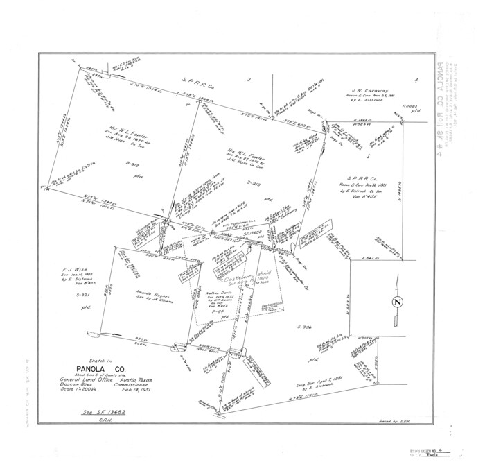

Print $20.00
- Digital $50.00
Panola County Rolled Sketch 4
1951
Size 25.4 x 26.1 inches
Map/Doc 7198
Flight Mission No. CRC-3R, Frame 44, Chambers County

Print $20.00
- Digital $50.00
Flight Mission No. CRC-3R, Frame 44, Chambers County
1956
Size 18.6 x 22.3 inches
Map/Doc 84817
Andrews County Rolled Sketch 12B


Print $20.00
- Digital $50.00
Andrews County Rolled Sketch 12B
1933
Size 39.9 x 37.8 inches
Map/Doc 8392
Upper Galveston Bay, Houston Ship Channel, Dollar Pt. to Atkinson I.


Print $40.00
- Digital $50.00
Upper Galveston Bay, Houston Ship Channel, Dollar Pt. to Atkinson I.
1972
Size 49.9 x 36.9 inches
Map/Doc 69895
McMullen County Working Sketch 22
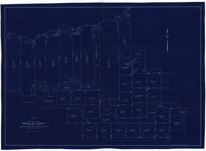

Print $40.00
- Digital $50.00
McMullen County Working Sketch 22
1947
Size 39.1 x 53.3 inches
Map/Doc 70723
You may also like
[Capitol Leagues in Northwest Lamb and Northeast Bailey Counties]
![91071, [Capitol Leagues in Northwest Lamb and Northeast Bailey Counties], Twichell Survey Records](https://historictexasmaps.com/wmedia_w700/maps/91071-1.tif.jpg)
![91071, [Capitol Leagues in Northwest Lamb and Northeast Bailey Counties], Twichell Survey Records](https://historictexasmaps.com/wmedia_w700/maps/91071-1.tif.jpg)
Print $20.00
- Digital $50.00
[Capitol Leagues in Northwest Lamb and Northeast Bailey Counties]
Size 28.1 x 19.7 inches
Map/Doc 91071
Subdivisions of Survey #1, Block Z


Print $20.00
- Digital $50.00
Subdivisions of Survey #1, Block Z
Size 7.6 x 39.2 inches
Map/Doc 90580
[A. B. & M. Block 2]
![91794, [A. B. & M. Block 2], Twichell Survey Records](https://historictexasmaps.com/wmedia_w700/maps/91794-1.tif.jpg)
![91794, [A. B. & M. Block 2], Twichell Survey Records](https://historictexasmaps.com/wmedia_w700/maps/91794-1.tif.jpg)
Print $2.00
- Digital $50.00
[A. B. & M. Block 2]
Size 7.1 x 14.1 inches
Map/Doc 91794
Coleman County Sketch File A1

Print $6.00
- Digital $50.00
Coleman County Sketch File A1
Size 5.4 x 7.7 inches
Map/Doc 18664
Young County Working Sketch 10

Print $20.00
- Digital $50.00
Young County Working Sketch 10
1921
Size 24.4 x 34.4 inches
Map/Doc 62033
Lovington Lea County, N. M. Lots 11, 14-Sec. 4-16-36


Print $40.00
- Digital $50.00
Lovington Lea County, N. M. Lots 11, 14-Sec. 4-16-36
Size 28.8 x 49.9 inches
Map/Doc 89694
Starr County Rolled Sketch 40

Print $20.00
- Digital $50.00
Starr County Rolled Sketch 40
1961
Size 21.3 x 22.6 inches
Map/Doc 7834
State of Texas showing the Lower Rio Grande Valley

Print $20.00
- Digital $50.00
State of Texas showing the Lower Rio Grande Valley
1920
Size 14.0 x 13.4 inches
Map/Doc 95802
General Highway Map, Hill County, Texas
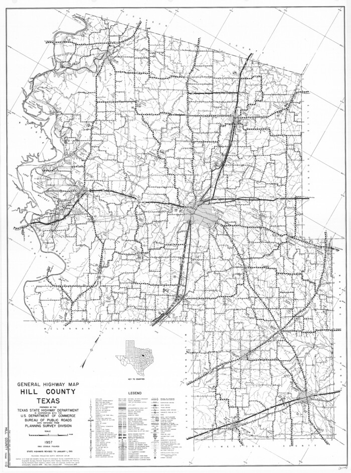

Print $20.00
General Highway Map, Hill County, Texas
1961
Size 24.5 x 18.2 inches
Map/Doc 79520
Galveston to Rio Grande
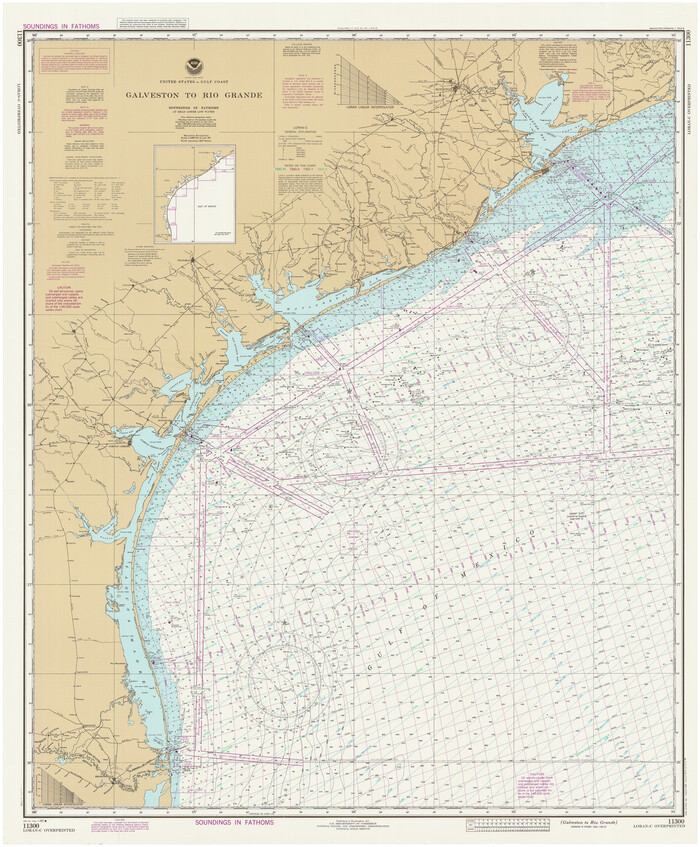

Print $20.00
- Digital $50.00
Galveston to Rio Grande
1985
Size 45.4 x 37.5 inches
Map/Doc 69958
Railroad Track Map, T&PRRCo., Culberson County, Texas
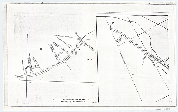

Print $4.00
- Digital $50.00
Railroad Track Map, T&PRRCo., Culberson County, Texas
1910
Size 11.8 x 18.7 inches
Map/Doc 62826
![64013, [Galveston, Harrisburg & San Antonio through El Paso County], General Map Collection](https://historictexasmaps.com/wmedia_w1800h1800/maps/64013.tif.jpg)
