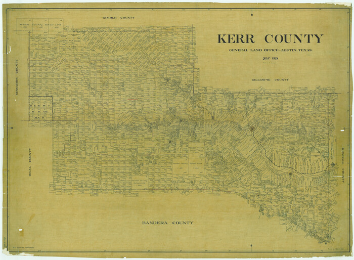
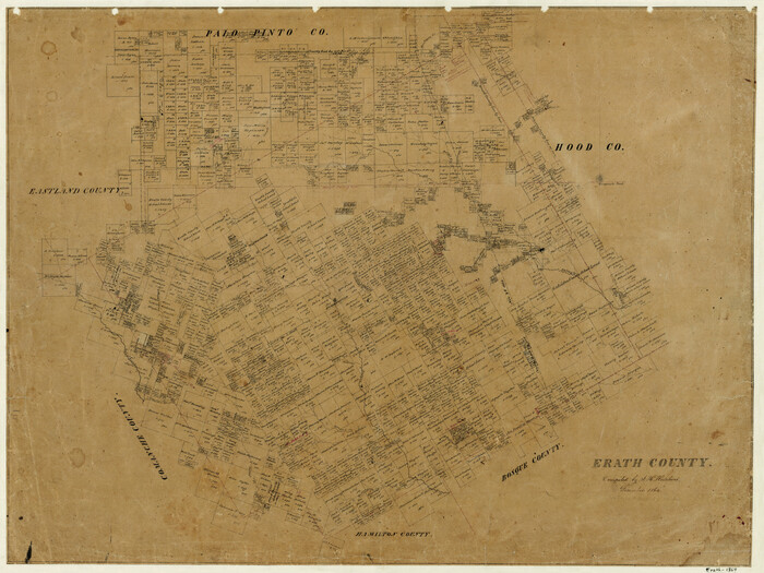
[St. Louis & Southwestern]
Z-2-70
-
Map/Doc
64276
-
Collection
General Map Collection
-
Counties
Franklin
-
Subjects
Railroads
-
Height x Width
20.9 x 28.7 inches
53.1 x 72.9 cm
-
Medium
blueprint/diazo
-
Comments
See counter nos. 64276 through 64281 for other sheets of the map.
-
Features
SLS
Ripleys Creek
Part of: General Map Collection
Flight Mission No. DCL-4C, Frame 120, Kenedy County
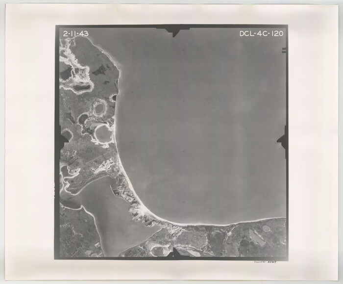

Print $20.00
- Digital $50.00
Flight Mission No. DCL-4C, Frame 120, Kenedy County
1943
Size 18.6 x 22.5 inches
Map/Doc 85819
Brewster County Rolled Sketch 106
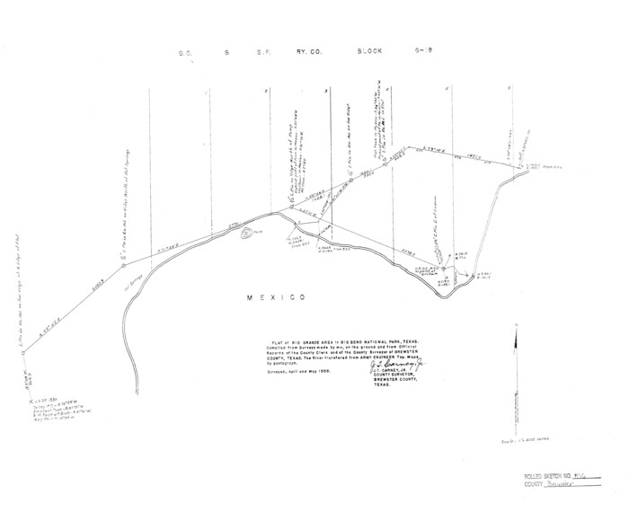

Print $20.00
- Digital $50.00
Brewster County Rolled Sketch 106
1958
Size 20.7 x 24.6 inches
Map/Doc 5258
Falls County Sketch File 18


Print $4.00
- Digital $50.00
Falls County Sketch File 18
Size 10.3 x 8.2 inches
Map/Doc 22380
National Map Company's New Road Survey of the United States Showing Main Highways


Print $20.00
- Digital $50.00
National Map Company's New Road Survey of the United States Showing Main Highways
Size 44.3 x 38.2 inches
Map/Doc 4674
Anderson County Sketch File 29
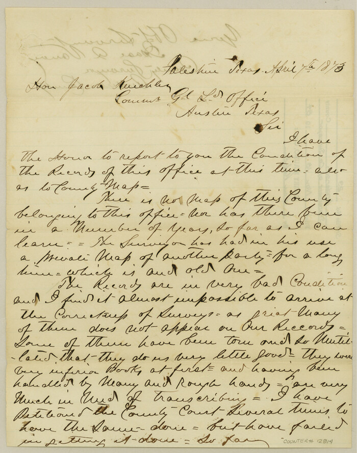

Print $4.00
- Digital $50.00
Anderson County Sketch File 29
1873
Size 10.4 x 8.2 inches
Map/Doc 12814
Flight Mission No. CRC-4R, Frame 76, Chambers County


Print $20.00
- Digital $50.00
Flight Mission No. CRC-4R, Frame 76, Chambers County
1956
Size 18.8 x 22.4 inches
Map/Doc 84880
Navarro County
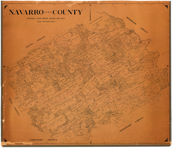

Print $40.00
- Digital $50.00
Navarro County
1924
Size 41.5 x 47.9 inches
Map/Doc 73249
Kinney County Rolled Sketch 9
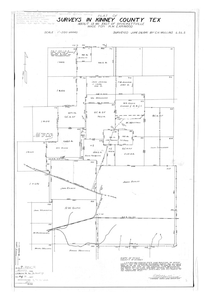

Print $20.00
- Digital $50.00
Kinney County Rolled Sketch 9
Size 39.4 x 27.5 inches
Map/Doc 6538
Flight Mission No. BQY-4M, Frame 40, Harris County
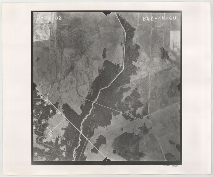

Print $20.00
- Digital $50.00
Flight Mission No. BQY-4M, Frame 40, Harris County
1953
Size 18.6 x 22.3 inches
Map/Doc 85255
Jefferson County NRC Article 33.136 Sketch 8


Print $20.00
- Digital $50.00
Jefferson County NRC Article 33.136 Sketch 8
2007
Size 20.1 x 18.7 inches
Map/Doc 87503
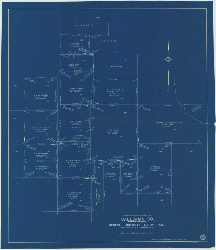
Callahan County Working Sketch 3

Print $20.00
- Digital $50.00
Callahan County Working Sketch 3
1952
Size 35.3 x 30.5 inches
Map/Doc 67885
You may also like
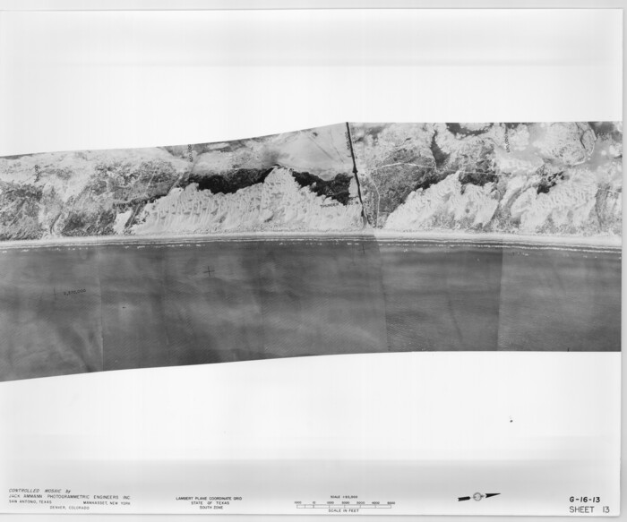
Controlled Mosaic by Jack Amman Photogrammetric Engineers, Inc - Sheet 13

Print $20.00
- Digital $50.00
Controlled Mosaic by Jack Amman Photogrammetric Engineers, Inc - Sheet 13
1954
Size 20.0 x 24.0 inches
Map/Doc 83457
Flight Mission No. BQR-13K, Frame 161, Brazoria County


Print $20.00
- Digital $50.00
Flight Mission No. BQR-13K, Frame 161, Brazoria County
1952
Size 18.7 x 22.3 inches
Map/Doc 84086
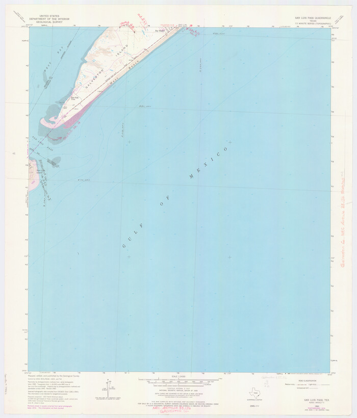
Galveston County NRC Article 33.136 Location Key Sheet

Print $20.00
- Digital $50.00
Galveston County NRC Article 33.136 Location Key Sheet
1974
Size 27.0 x 23.0 inches
Map/Doc 77022
[Leagues 575, 578, 609, and 616, Blocks T2, T3, and K13]
![91053, [Leagues 575, 578, 609, and 616, Blocks T2, T3, and K13], Twichell Survey Records](https://historictexasmaps.com/wmedia_w700/maps/91053-1.tif.jpg)
![91053, [Leagues 575, 578, 609, and 616, Blocks T2, T3, and K13], Twichell Survey Records](https://historictexasmaps.com/wmedia_w700/maps/91053-1.tif.jpg)
Print $20.00
- Digital $50.00
[Leagues 575, 578, 609, and 616, Blocks T2, T3, and K13]
Size 20.5 x 20.0 inches
Map/Doc 91053
[Surveys in Austin's Colony at Carancahua Bay]
![172, [Surveys in Austin's Colony at Carancahua Bay], General Map Collection](https://historictexasmaps.com/wmedia_w700/maps/172.tif.jpg)
![172, [Surveys in Austin's Colony at Carancahua Bay], General Map Collection](https://historictexasmaps.com/wmedia_w700/maps/172.tif.jpg)
Print $20.00
- Digital $50.00
[Surveys in Austin's Colony at Carancahua Bay]
Size 22.5 x 17.4 inches
Map/Doc 172
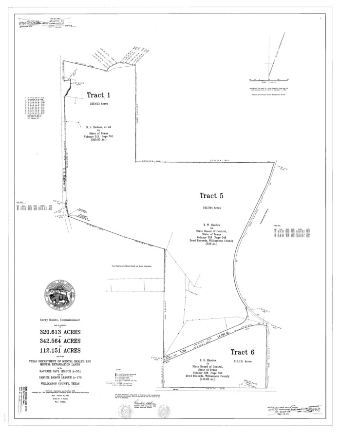
Williamson County State Real Property Sketch 1

Print $20.00
- Digital $50.00
Williamson County State Real Property Sketch 1
1985
Size 46.1 x 36.2 inches
Map/Doc 61692
Brown County Sketch File 30


Print $27.00
- Digital $50.00
Brown County Sketch File 30
1924
Size 12.7 x 11.0 inches
Map/Doc 16631
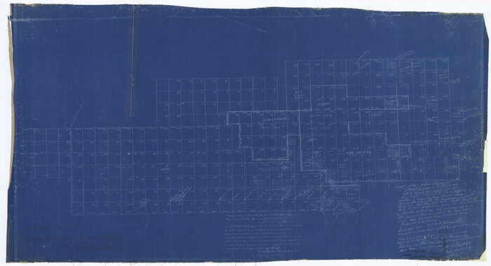
Lynn County Rolled Sketch S

Print $20.00
- Digital $50.00
Lynn County Rolled Sketch S
Size 21.1 x 38.7 inches
Map/Doc 6654
Brewster County Sketch File NS-4g


Print $4.00
- Digital $50.00
Brewster County Sketch File NS-4g
1930
Size 10.5 x 7.2 inches
Map/Doc 15981
[East Half of Hockley County]
![91194, [East Half of Hockley County], Twichell Survey Records](https://historictexasmaps.com/wmedia_w700/maps/91194-1.tif.jpg)
![91194, [East Half of Hockley County], Twichell Survey Records](https://historictexasmaps.com/wmedia_w700/maps/91194-1.tif.jpg)
Print $20.00
- Digital $50.00
[East Half of Hockley County]
Size 26.0 x 35.5 inches
Map/Doc 91194
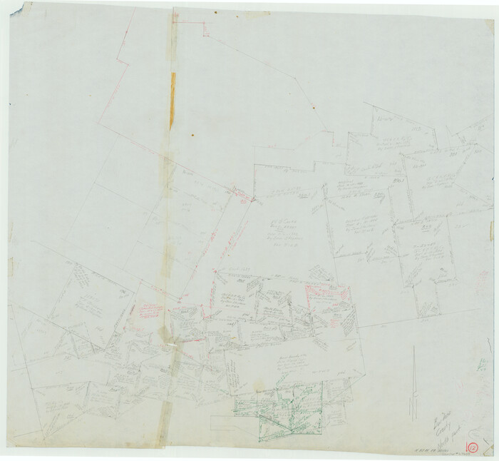
Bandera County Working Sketch 12

Print $20.00
- Digital $50.00
Bandera County Working Sketch 12
Size 34.0 x 36.9 inches
Map/Doc 67605
![64276, [St. Louis & Southwestern], General Map Collection](https://historictexasmaps.com/wmedia_w1800h1800/maps/64276.tif.jpg)
