Concho, San Saba & Llano Valley Railway, Sterling City Branch, Texas. Right of Way and Track Map
Z-2-116
-
Map/Doc
64439
-
Collection
General Map Collection
-
Object Dates
1910 (Creation Date)
-
Counties
Sterling
-
Subjects
Railroads
-
Height x Width
18.3 x 59.7 inches
46.5 x 151.6 cm
-
Medium
blueprint/diazo
-
Scale
1 inch = 400 ft
-
Comments
From Broome to Sterling City. Alignment map fourth div. mile 261 to 271 Inc.
Sheet 2, Segment 2; see counter no. 64438 for segment 1 and counter nos. 64436 and 64437 for sheet 1. -
Features
Jackson Avenue
Sterling City & Big Springs Public Road
Colorado River
Water Street
Pearl Street
Church Street
Stuart Avenue
Labadie Street
Stewart Avenue
CSS&LV
Lee Avenue
Washington Street
Ennis Street
Waxahatchie Street
Garnett Street
Sterling City
County Road
Part of: General Map Collection
Throckmorton County Sketch File 8
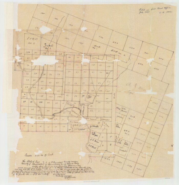

Print $66.00
- Digital $50.00
Throckmorton County Sketch File 8
Size 24.0 x 32.4 inches
Map/Doc 12433
Webb County Rolled Sketch 47


Print $20.00
- Digital $50.00
Webb County Rolled Sketch 47
Size 23.5 x 31.7 inches
Map/Doc 8203
Upton County Sketch File 42


Print $3.00
- Digital $50.00
Upton County Sketch File 42
1986
Size 10.9 x 17.0 inches
Map/Doc 38919
Red River County
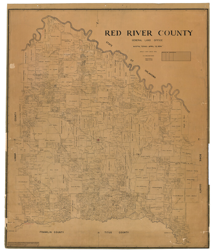

Print $20.00
- Digital $50.00
Red River County
1934
Size 47.0 x 40.2 inches
Map/Doc 95623
General Chart of the Coast No. XXI Gulf Coast from Galveston to the Rio Grande


Print $20.00
- Digital $50.00
General Chart of the Coast No. XXI Gulf Coast from Galveston to the Rio Grande
1883
Size 27.1 x 18.4 inches
Map/Doc 72729
Sutton County Working Sketch 57
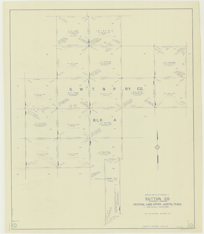

Print $20.00
- Digital $50.00
Sutton County Working Sketch 57
1958
Size 37.7 x 32.9 inches
Map/Doc 62400
[Sketch for Mineral Application 33721 - 33725 Incl. - Padre and Mustang Island]
![2868, [Sketch for Mineral Application 33721 - 33725 Incl. - Padre and Mustang Island], General Map Collection](https://historictexasmaps.com/wmedia_w700/maps/2868.tif.jpg)
![2868, [Sketch for Mineral Application 33721 - 33725 Incl. - Padre and Mustang Island], General Map Collection](https://historictexasmaps.com/wmedia_w700/maps/2868.tif.jpg)
Print $20.00
- Digital $50.00
[Sketch for Mineral Application 33721 - 33725 Incl. - Padre and Mustang Island]
1942
Size 29.7 x 22.3 inches
Map/Doc 2868
Flight Mission No. CRK-7P, Frame 79, Refugio County


Print $20.00
- Digital $50.00
Flight Mission No. CRK-7P, Frame 79, Refugio County
1956
Size 18.2 x 22.1 inches
Map/Doc 86950
Bowie County Rolled Sketch 6
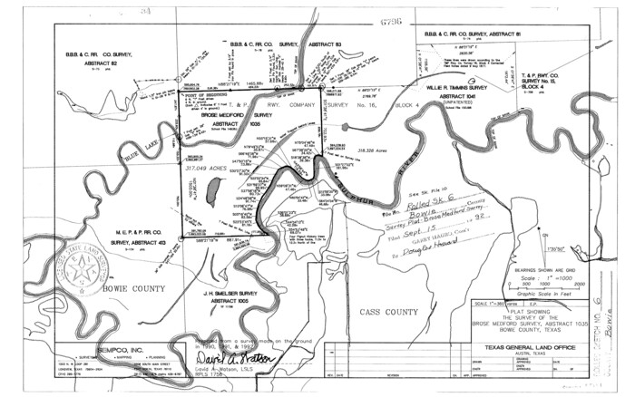

Print $20.00
- Digital $50.00
Bowie County Rolled Sketch 6
1992
Size 11.3 x 18.1 inches
Map/Doc 5161
Maverick County Working Sketch 22
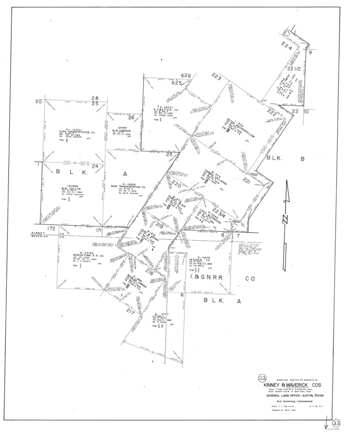

Print $20.00
- Digital $50.00
Maverick County Working Sketch 22
1978
Size 44.0 x 34.9 inches
Map/Doc 70914
Comal County Sketch File 9
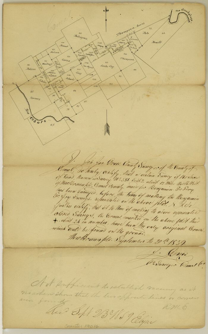

Print $4.00
- Digital $50.00
Comal County Sketch File 9
1859
Size 13.6 x 8.5 inches
Map/Doc 19016
Cottle County Working Sketch 11
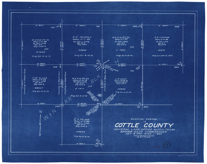

Print $20.00
- Digital $50.00
Cottle County Working Sketch 11
1943
Size 19.2 x 24.1 inches
Map/Doc 68321
You may also like
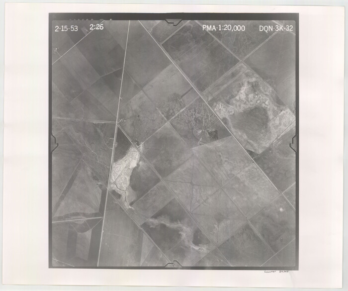
Flight Mission No. DQN-3K, Frame 32, Calhoun County

Print $20.00
- Digital $50.00
Flight Mission No. DQN-3K, Frame 32, Calhoun County
1953
Size 18.6 x 22.3 inches
Map/Doc 84345
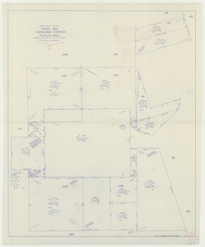
Foard County Working Sketch 12

Print $20.00
- Digital $50.00
Foard County Working Sketch 12
1977
Size 43.4 x 36.1 inches
Map/Doc 69203
General Highway Map, Calhoun County, Texas


Print $20.00
General Highway Map, Calhoun County, Texas
1961
Size 18.3 x 24.4 inches
Map/Doc 79395
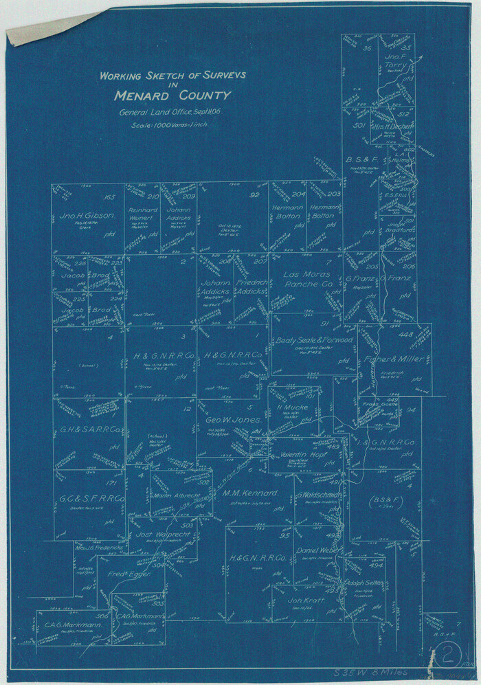
Menard County Working Sketch 2

Print $20.00
- Digital $50.00
Menard County Working Sketch 2
1906
Size 17.8 x 12.5 inches
Map/Doc 70949
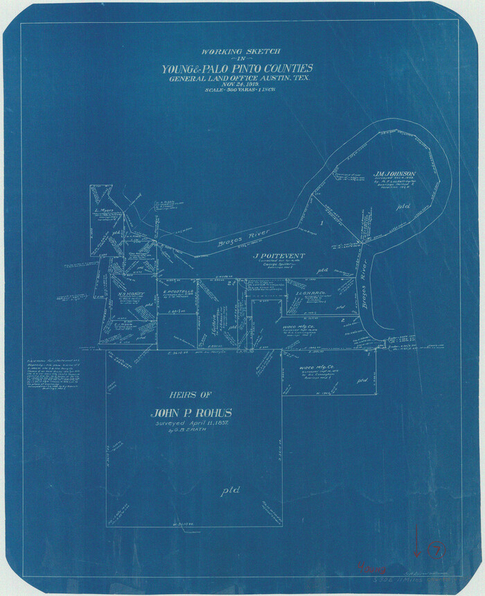
Young County Working Sketch 7

Print $20.00
- Digital $50.00
Young County Working Sketch 7
1919
Size 24.3 x 19.8 inches
Map/Doc 62030
Lubbock County Sketch File 9


Print $4.00
- Digital $50.00
Lubbock County Sketch File 9
1907
Size 5.7 x 8.7 inches
Map/Doc 30430
General Highway Map Hockley County, Texas


Print $20.00
- Digital $50.00
General Highway Map Hockley County, Texas
1949
Size 25.7 x 18.8 inches
Map/Doc 92209
General Highway Map, Borden County, Texas


Print $20.00
General Highway Map, Borden County, Texas
1940
Size 18.5 x 25.0 inches
Map/Doc 79021
Map of Freestone County


Print $20.00
- Digital $50.00
Map of Freestone County
1858
Size 22.3 x 24.1 inches
Map/Doc 3564
Parker County Working Sketch 9


Print $20.00
- Digital $50.00
Parker County Working Sketch 9
1958
Map/Doc 71459


