[St. L. S-W. Ry. of Texas Map of Lufkin Branch in Angelina County, Texas]
[M.P. 620 to M.P. 663]
Z-2-174
-
Map/Doc
64560
-
Collection
General Map Collection
-
Object Dates
1913 (Creation Date)
-
People and Organizations
W. T. Eaton (Surveyor/Engineer)
T. G. Johnston (Surveyor/Engineer)
-
Counties
Angelina
-
Subjects
Railroads
-
Height x Width
25.7 x 121.3 inches
65.3 x 308.1 cm
-
Medium
blueprint/diazo
-
Scale
1" = 400 feet
-
Comments
Segment 3; see counter nos. 64561 and 64562 for other segments.
-
Features
SLS
Farber
Lufkin
[Railroad line] to Shreveport
Brushy Creek
[Railroad line] to Houston
HE&WT
ETRR
Durst
[Railroad line] to Kinnard
Clawson
Part of: General Map Collection
University and College Lands


Print $20.00
- Digital $50.00
University and College Lands
1841
Size 21.3 x 27.0 inches
Map/Doc 169
Culberson County Sketch File WJ2


Print $20.00
- Digital $50.00
Culberson County Sketch File WJ2
Size 15.5 x 20.3 inches
Map/Doc 5788
Blanco County Rolled Sketch 22

Print $20.00
- Digital $50.00
Blanco County Rolled Sketch 22
2007
Size 17.4 x 11.4 inches
Map/Doc 87926
Uvalde County Rolled Sketch 23


Print $20.00
- Digital $50.00
Uvalde County Rolled Sketch 23
2008
Size 24.6 x 32.6 inches
Map/Doc 89024
Brewster County Rolled Sketch 49

Print $20.00
- Digital $50.00
Brewster County Rolled Sketch 49
1930
Size 35.1 x 47.4 inches
Map/Doc 8478
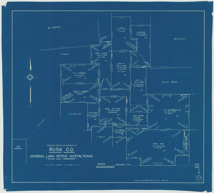
Rusk County Working Sketch 23

Print $20.00
- Digital $50.00
Rusk County Working Sketch 23
1949
Size 23.9 x 26.5 inches
Map/Doc 63659
Flight Mission No. DCL-4C, Frame 69, Kenedy County


Print $20.00
- Digital $50.00
Flight Mission No. DCL-4C, Frame 69, Kenedy County
1943
Size 18.7 x 22.3 inches
Map/Doc 85814
Real County Working Sketch 58


Print $20.00
- Digital $50.00
Real County Working Sketch 58
1962
Size 24.7 x 28.5 inches
Map/Doc 71950
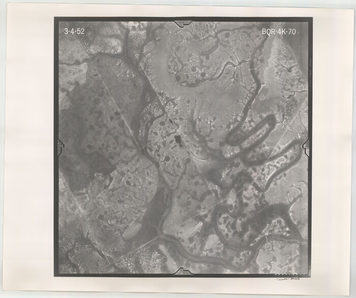
Flight Mission No. BQR-4K, Frame 70, Brazoria County

Print $20.00
- Digital $50.00
Flight Mission No. BQR-4K, Frame 70, Brazoria County
1952
Size 18.8 x 22.4 inches
Map/Doc 84003
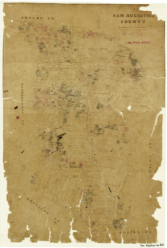
San Augustine County

Print $20.00
- Digital $50.00
San Augustine County
1871
Size 20.7 x 14.2 inches
Map/Doc 4014
You may also like
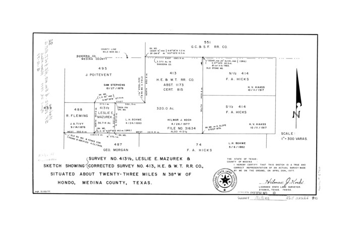
Medina County Rolled Sketch 10

Print $20.00
- Digital $50.00
Medina County Rolled Sketch 10
1977
Size 14.3 x 21.7 inches
Map/Doc 6744
Padre Island National Seashore
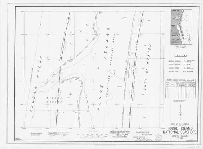

Print $4.00
- Digital $50.00
Padre Island National Seashore
Size 16.2 x 22.1 inches
Map/Doc 60530
Map of the State of Texas from the Latest Authorities


Print $20.00
- Digital $50.00
Map of the State of Texas from the Latest Authorities
1854
Size 13.1 x 16.1 inches
Map/Doc 93901
Brazos River, Sandpit Extension Sheet


Print $20.00
- Digital $50.00
Brazos River, Sandpit Extension Sheet
1926
Size 31.3 x 36.5 inches
Map/Doc 69663
Foard County Rolled Sketch 14


Print $20.00
- Digital $50.00
Foard County Rolled Sketch 14
1923
Size 20.2 x 36.0 inches
Map/Doc 5888
Map of Anderson County
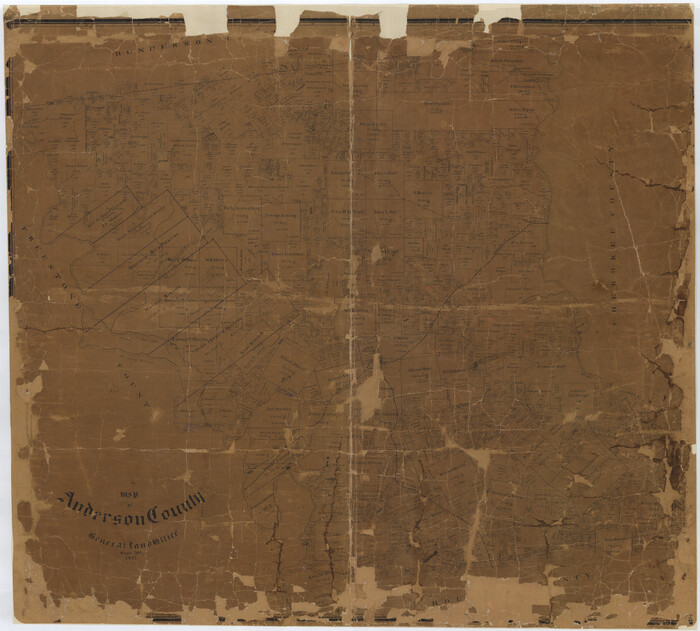

Print $20.00
- Digital $50.00
Map of Anderson County
1895
Size 40.9 x 45.4 inches
Map/Doc 4784
Novissima et Accuratissima Totius Americae Descriptio
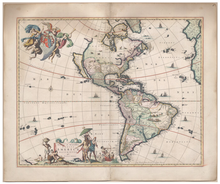

Print $20.00
- Digital $50.00
Novissima et Accuratissima Totius Americae Descriptio
1677
Size 20.9 x 25.0 inches
Map/Doc 93819
Flight Mission No. DAH-17M, Frame 27, Orange County
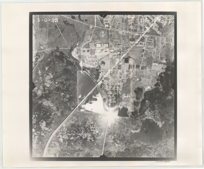

Print $20.00
- Digital $50.00
Flight Mission No. DAH-17M, Frame 27, Orange County
1953
Size 18.6 x 22.3 inches
Map/Doc 86890
Tom Green County Rolled Sketch 17
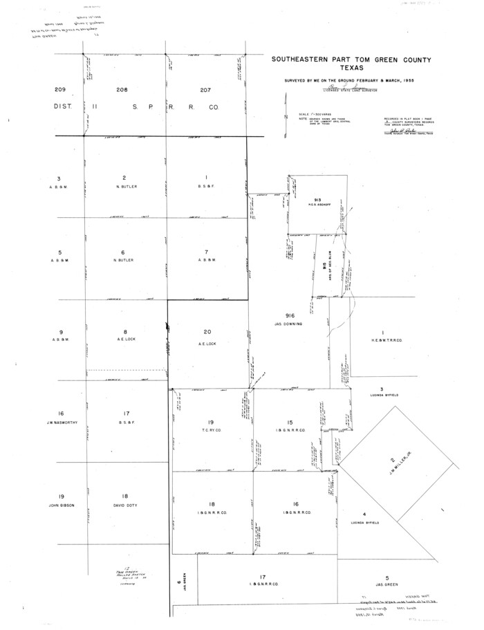

Print $40.00
- Digital $50.00
Tom Green County Rolled Sketch 17
Size 49.2 x 37.8 inches
Map/Doc 10005
Karte des Staates, Texas
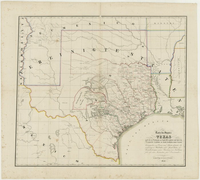

Print $20.00
Karte des Staates, Texas
1851
Size 27.2 x 30.1 inches
Map/Doc 76262
Garza County Rolled Sketch 11


Print $20.00
- Digital $50.00
Garza County Rolled Sketch 11
1915
Size 31.6 x 20.8 inches
Map/Doc 6000
Galveston County NRC Article 33.136 Sketch 79
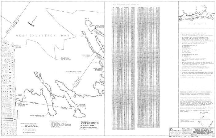

Print $292.00
- Digital $50.00
Galveston County NRC Article 33.136 Sketch 79
2015
Size 22.0 x 34.0 inches
Map/Doc 94880
![64560, [St. L. S-W. Ry. of Texas Map of Lufkin Branch in Angelina County, Texas], General Map Collection](https://historictexasmaps.com/wmedia_w1800h1800/maps/64560-1.tif.jpg)
