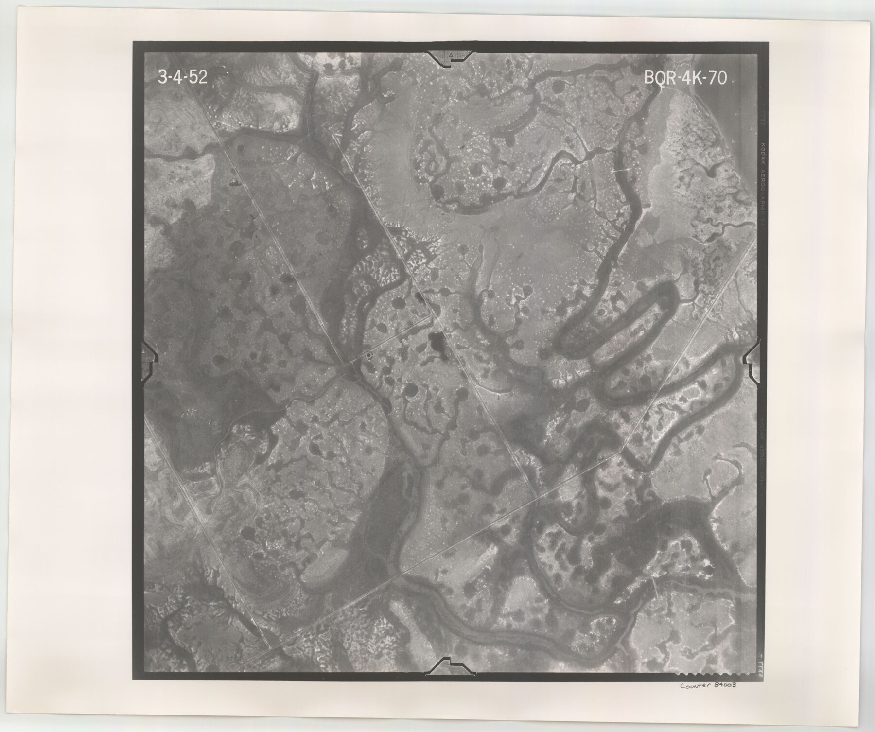
Flight Mission No. BQR-4K, Frame 70, Brazoria County
BQR-4K-70
-
Map/Doc
84003
-
Collection
General Map Collection
-
Object Dates
1952/3/4 (Creation Date)
-
People and Organizations
U. S. Department of Agriculture (Publisher)
-
Counties
Brazoria
-
Subjects
Aerial Photograph
-
Height x Width
18.8 x 22.4 inches
47.8 x 56.9 cm
-
Comments
Flown by Aero Exploration Company of Tulsa, Oklahoma.
Part of: General Map Collection
Flight Mission No. DQO-2K, Frame 100, Galveston County

Print $20.00
- Digital $50.00
Flight Mission No. DQO-2K, Frame 100, Galveston County
1952
Size 18.7 x 22.4 inches
Map/Doc 85027
Roberts County Working Sketch 42

Print $20.00
- Digital $50.00
Roberts County Working Sketch 42
1978
Size 26.7 x 22.7 inches
Map/Doc 63568
Angelina County Working Sketch 21

Print $20.00
- Digital $50.00
Angelina County Working Sketch 21
1947
Size 35.7 x 35.8 inches
Map/Doc 67102
Uvalde County Sketch File 31

Print $4.00
- Digital $50.00
Uvalde County Sketch File 31
Size 11.2 x 8.8 inches
Map/Doc 81529
Chambers County Rolled Sketch 8

Print $20.00
- Digital $50.00
Chambers County Rolled Sketch 8
Size 39.8 x 30.5 inches
Map/Doc 8612
Uvalde County Working Sketch 64, revised

Print $20.00
- Digital $50.00
Uvalde County Working Sketch 64, revised
1998
Size 34.2 x 35.5 inches
Map/Doc 72135
Baylor County Sketch File Z1

Print $12.00
- Digital $50.00
Baylor County Sketch File Z1
1901
Size 8.8 x 7.2 inches
Map/Doc 14104
El Paso County Rolled Sketch Z59

Print $40.00
- Digital $50.00
El Paso County Rolled Sketch Z59
1915
Size 36.5 x 48.1 inches
Map/Doc 8872
Map of Hardeman Co., Texas

Print $20.00
- Digital $50.00
Map of Hardeman Co., Texas
1903
Size 36.8 x 25.6 inches
Map/Doc 4559
Hemphill County Rolled Sketch 11

Print $20.00
- Digital $50.00
Hemphill County Rolled Sketch 11
1941
Size 45.1 x 21.8 inches
Map/Doc 9153
Goliad County Rolled Sketch 1

Print $20.00
- Digital $50.00
Goliad County Rolled Sketch 1
1941
Size 31.4 x 38.5 inches
Map/Doc 6023
Glasscock County Sketch File 3

Print $3.00
- Digital $50.00
Glasscock County Sketch File 3
1931
Size 11.1 x 14.8 inches
Map/Doc 11560
You may also like
Nueva Hispania Tabula Nova

Print $20.00
- Digital $50.00
Nueva Hispania Tabula Nova
1548
Size 6.8 x 8.2 inches
Map/Doc 96626
Map of Polk County

Print $20.00
- Digital $50.00
Map of Polk County
1856
Size 22.1 x 23.7 inches
Map/Doc 3961
Map of Lipscomb County

Print $20.00
- Digital $50.00
Map of Lipscomb County
1899
Size 42.2 x 38.9 inches
Map/Doc 95572
Newton County Working Sketch 34

Print $20.00
- Digital $50.00
Newton County Working Sketch 34
1959
Size 27.0 x 32.6 inches
Map/Doc 71280
City of Lamesa, Texas

Print $40.00
- Digital $50.00
City of Lamesa, Texas
Size 52.2 x 43.2 inches
Map/Doc 89855
Anderson County Rolled Sketch 11

Print $20.00
- Digital $50.00
Anderson County Rolled Sketch 11
1956
Size 33.4 x 34.4 inches
Map/Doc 8366
Dallam County Boundary File 1

Print $12.00
- Digital $50.00
Dallam County Boundary File 1
Size 9.0 x 7.6 inches
Map/Doc 52047
Flight Mission No. DAG-24K, Frame 152, Matagorda County

Print $20.00
- Digital $50.00
Flight Mission No. DAG-24K, Frame 152, Matagorda County
1953
Size 18.4 x 22.3 inches
Map/Doc 86566
Flight Mission No. DQO-2K, Frame 165, Galveston County

Print $20.00
- Digital $50.00
Flight Mission No. DQO-2K, Frame 165, Galveston County
1952
Size 18.9 x 22.4 inches
Map/Doc 85054
Ward County Sketch File 7

Print $4.00
- Digital $50.00
Ward County Sketch File 7
1927
Size 9.8 x 8.6 inches
Map/Doc 39621
Flight Mission No. DCL-7C, Frame 110, Kenedy County

Print $20.00
- Digital $50.00
Flight Mission No. DCL-7C, Frame 110, Kenedy County
1943
Size 18.5 x 22.3 inches
Map/Doc 86075
Morton, Cochran County, Texas

Print $40.00
- Digital $50.00
Morton, Cochran County, Texas
Size 44.4 x 53.5 inches
Map/Doc 89913