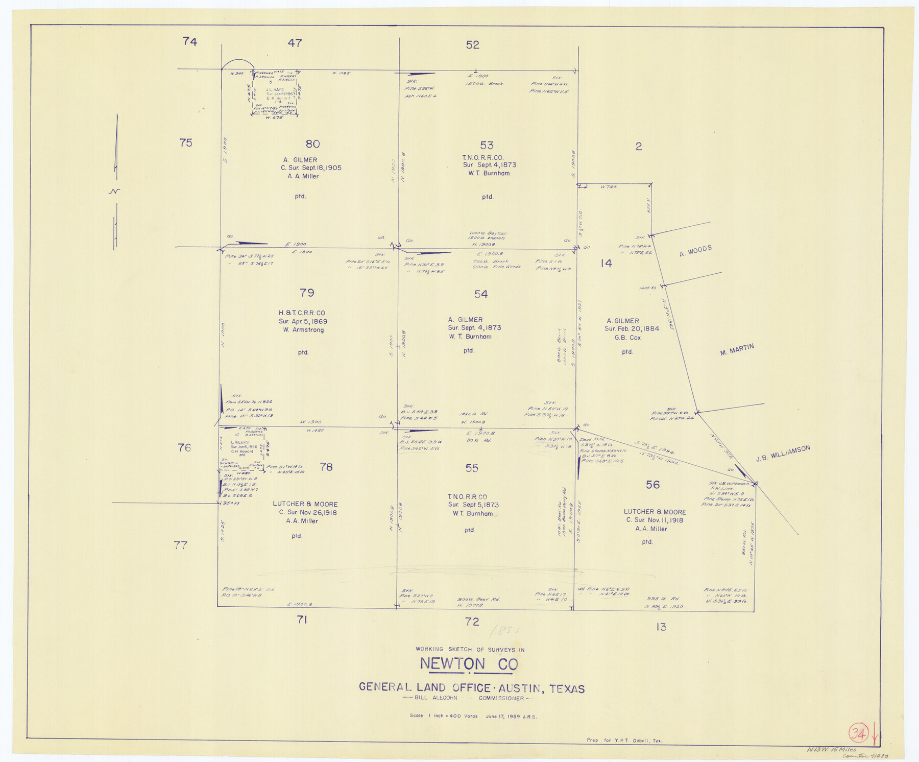
Newton County Working Sketch 34
-
Map/Doc
71280
-
Collection
General Map Collection
-
Object Dates
6/17/1959 (Creation Date)
-
Counties
Newton
-
Subjects
Surveying Working Sketch
-
Height x Width
27.0 x 32.6 inches
68.6 x 82.8 cm
-
Scale
1" = 400 varas
Part of: General Map Collection
Liberty County Working Sketch 24

Print $20.00
- Digital $50.00
Liberty County Working Sketch 24
1941
Size 19.0 x 14.0 inches
Map/Doc 70483
Map of Lampasas Co.

Print $20.00
- Digital $50.00
Map of Lampasas Co.
1888
Size 34.4 x 42.4 inches
Map/Doc 5080
Flight Mission No. DQN-2K, Frame 64, Calhoun County

Print $20.00
- Digital $50.00
Flight Mission No. DQN-2K, Frame 64, Calhoun County
1953
Size 18.6 x 22.3 inches
Map/Doc 84256
Edwards County Rolled Sketch 15

Print $20.00
- Digital $50.00
Edwards County Rolled Sketch 15
1893
Size 35.5 x 26.4 inches
Map/Doc 5803
La Salle County Sketch File 12

Print $15.00
- Digital $50.00
La Salle County Sketch File 12
1877
Size 10.0 x 8.1 inches
Map/Doc 29470
Brazoria County Rolled Sketch 18B

Print $20.00
- Digital $50.00
Brazoria County Rolled Sketch 18B
1914
Size 10.0 x 17.3 inches
Map/Doc 5165
Guadalupe County Sketch File 21

Print $6.00
- Digital $50.00
Guadalupe County Sketch File 21
Size 9.9 x 8.5 inches
Map/Doc 24702
McMullen County Working Sketch 22

Print $40.00
- Digital $50.00
McMullen County Working Sketch 22
1947
Size 39.1 x 53.3 inches
Map/Doc 70723
Tom Green County Sketch File 71

Print $20.00
- Digital $50.00
Tom Green County Sketch File 71
1948
Size 17.5 x 20.6 inches
Map/Doc 12447
Map of Kendall County

Print $20.00
- Digital $50.00
Map of Kendall County
1899
Size 36.8 x 34.2 inches
Map/Doc 66887

[Surveys in the Bexar District]
![24, [Surveys in the Bexar District], General Map Collection](https://historictexasmaps.com/wmedia_w700/maps/24-1.tif.jpg)
Print $20.00
- Digital $50.00
[Surveys in the Bexar District]
1841
Size 23.0 x 16.5 inches
Map/Doc 24
You may also like
Val Verde County Working Sketch 21

Print $20.00
- Digital $50.00
Val Verde County Working Sketch 21
1929
Size 15.2 x 30.0 inches
Map/Doc 72156
Jefferson County Working Sketch 12

Print $20.00
- Digital $50.00
Jefferson County Working Sketch 12
1947
Size 29.9 x 39.4 inches
Map/Doc 66555
Chambers County Sketch File 9

Print $10.00
- Digital $50.00
Chambers County Sketch File 9
1872
Size 10.3 x 11.8 inches
Map/Doc 17546
Sketch in Dawson County

Print $20.00
- Digital $50.00
Sketch in Dawson County
Size 18.7 x 12.4 inches
Map/Doc 92567
Fort Bend County Working Sketch 28

Print $20.00
- Digital $50.00
Fort Bend County Working Sketch 28
1982
Size 15.8 x 20.1 inches
Map/Doc 69234
Montague County Sketch File 17

Print $40.00
- Digital $50.00
Montague County Sketch File 17
1893
Size 14.3 x 16.6 inches
Map/Doc 31744
Kerr County Working Sketch 11

Print $20.00
- Digital $50.00
Kerr County Working Sketch 11
1951
Size 30.3 x 29.9 inches
Map/Doc 70042
Haskell County Sketch File 23

Print $40.00
- Digital $50.00
Haskell County Sketch File 23
1939
Size 23.2 x 13.5 inches
Map/Doc 11745
Flight Mission No. DAG-24K, Frame 159, Matagorda County

Print $20.00
- Digital $50.00
Flight Mission No. DAG-24K, Frame 159, Matagorda County
1953
Size 17.2 x 19.1 inches
Map/Doc 86573
General Highway Map, Jim Wells County, Texas

Print $20.00
General Highway Map, Jim Wells County, Texas
1940
Size 18.4 x 24.8 inches
Map/Doc 79147
Sketch for Blocks D6, D7, D8 situated in Val Verde County, Texas

Print $40.00
- Digital $50.00
Sketch for Blocks D6, D7, D8 situated in Val Verde County, Texas
1937
Size 100.1 x 40.1 inches
Map/Doc 93164
Runnels County Boundary File 1

Print $42.00
- Digital $50.00
Runnels County Boundary File 1
Size 9.3 x 7.7 inches
Map/Doc 58504