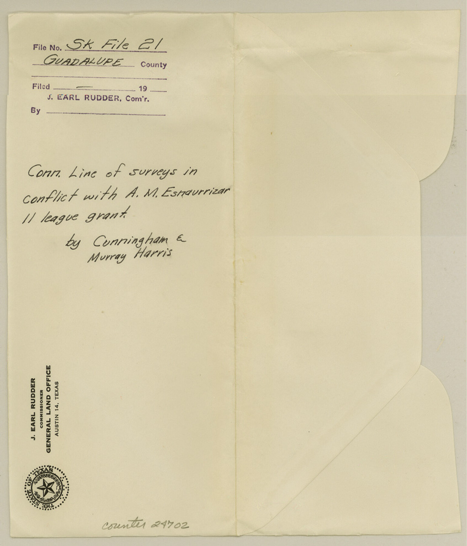
Guadalupe County Sketch File 21
[Connecting line of surveys in conflict with A. M. Esnaurrizar 11 league grant]
-
Map/Doc
24702
-
Collection
General Map Collection
-
People and Organizations
Murray Harris (Surveyor/Engineer)
L.Z. Cunningham (Surveyor/Engineer)
-
Counties
Guadalupe
-
Subjects
Surveying Sketch File
-
Height x Width
9.9 x 8.5 inches
25.1 x 21.6 cm
-
Medium
paper, manuscript
Part of: General Map Collection
Colorado County Sketch File 7

Print $4.00
- Digital $50.00
Colorado County Sketch File 7
1862
Size 13.1 x 8.0 inches
Map/Doc 18925
Shackelford County

Print $20.00
- Digital $50.00
Shackelford County
1972
Size 41.1 x 35.0 inches
Map/Doc 77420
[Grid Map Showing Texas, Louisiana, Arkansas, Mississippi and portions of New Mexico, Oklahoma and Tennessee]
![4668, [Grid Map Showing Texas, Louisiana, Arkansas, Mississippi and portions of New Mexico, Oklahoma and Tennessee], General Map Collection](https://historictexasmaps.com/wmedia_w700/maps/4668.tif.jpg)
Print $20.00
- Digital $50.00
[Grid Map Showing Texas, Louisiana, Arkansas, Mississippi and portions of New Mexico, Oklahoma and Tennessee]
1940
Size 36.4 x 47.3 inches
Map/Doc 4668
Flight Mission No. BQR-3K, Frame 84, Brazoria County

Print $20.00
- Digital $50.00
Flight Mission No. BQR-3K, Frame 84, Brazoria County
1952
Size 18.8 x 22.5 inches
Map/Doc 83976
Orange County Sketch File 34

Print $20.00
- Digital $50.00
Orange County Sketch File 34
1929
Size 23.5 x 27.7 inches
Map/Doc 12126
Oldham County Sketch File 10

Print $8.00
- Digital $50.00
Oldham County Sketch File 10
Size 12.7 x 8.3 inches
Map/Doc 33243
Aransas County Rolled Sketch 15A

Print $20.00
- Digital $50.00
Aransas County Rolled Sketch 15A
1969
Size 26.3 x 25.4 inches
Map/Doc 8411
Presidio County Working Sketch 19

Print $20.00
- Digital $50.00
Presidio County Working Sketch 19
1943
Size 32.9 x 40.3 inches
Map/Doc 71695
Greater San Antonio & Surrounding Area

Greater San Antonio & Surrounding Area
Size 36.1 x 46.0 inches
Map/Doc 96869
Carte de la Louisiane et du Cours du Mississipi

Print $20.00
- Digital $50.00
Carte de la Louisiane et du Cours du Mississipi
1718
Size 21.7 x 28.6 inches
Map/Doc 95161
Flight Mission No. DAG-17K, Frame 71, Matagorda County

Print $20.00
- Digital $50.00
Flight Mission No. DAG-17K, Frame 71, Matagorda County
1952
Size 18.6 x 19.5 inches
Map/Doc 86330
Photo Index of Texas Coast - Sheet 6 of 6

Print $20.00
- Digital $50.00
Photo Index of Texas Coast - Sheet 6 of 6
1954
Size 20.0 x 24.0 inches
Map/Doc 83444
You may also like
Panola County Working Sketch 27

Print $20.00
- Digital $50.00
Panola County Working Sketch 27
1956
Map/Doc 71436
Coleman County Working Sketch 13

Print $20.00
- Digital $50.00
Coleman County Working Sketch 13
1952
Size 37.1 x 26.3 inches
Map/Doc 68079
Kaufman County Sketch File 17

Print $4.00
- Digital $50.00
Kaufman County Sketch File 17
1873
Size 8.0 x 6.1 inches
Map/Doc 28657
[Cotton Belt] St. Louis Arkansas & Texas R'y, Lufkin Branch, Formely the Kansas & Gulf Short Line
![64371, [Cotton Belt] St. Louis Arkansas & Texas R'y, Lufkin Branch, Formely the Kansas & Gulf Short Line, General Map Collection](https://historictexasmaps.com/wmedia_w700/maps/64371.tif.jpg)
Print $20.00
- Digital $50.00
[Cotton Belt] St. Louis Arkansas & Texas R'y, Lufkin Branch, Formely the Kansas & Gulf Short Line
1888
Size 11.2 x 39.5 inches
Map/Doc 64371
Nueces County Sketch File 62

Print $4.00
- Digital $50.00
Nueces County Sketch File 62
1936
Size 8.6 x 14.3 inches
Map/Doc 32971
Harris County Sketch File 65

Print $20.00
- Digital $50.00
Harris County Sketch File 65
Size 23.5 x 35.1 inches
Map/Doc 11660
Medina County Working Sketch 32

Print $20.00
- Digital $50.00
Medina County Working Sketch 32
1994
Size 30.4 x 42.4 inches
Map/Doc 70947
Flight Mission No. DIX-10P, Frame 74, Aransas County

Print $20.00
- Digital $50.00
Flight Mission No. DIX-10P, Frame 74, Aransas County
1956
Size 18.7 x 22.4 inches
Map/Doc 83935
Flight Mission No. CRC-3R, Frame 6, Chambers County

Print $20.00
- Digital $50.00
Flight Mission No. CRC-3R, Frame 6, Chambers County
1956
Size 18.6 x 22.3 inches
Map/Doc 84780
Fort Bend County Sketch File 21

Print $4.00
- Digital $50.00
Fort Bend County Sketch File 21
1882
Size 8.8 x 13.4 inches
Map/Doc 22954
Wood County Working Sketch 2

Print $20.00
- Digital $50.00
Wood County Working Sketch 2
1913
Size 17.8 x 16.8 inches
Map/Doc 62002
Wood County Sketch File 11

Print $4.00
- Digital $50.00
Wood County Sketch File 11
1858
Size 12.7 x 8.0 inches
Map/Doc 40664