[Cotton Belt] St. Louis Arkansas & Texas R'y, Lufkin Branch, Formely the Kansas & Gulf Short Line
Z-2-97
-
Map/Doc
64371
-
Collection
General Map Collection
-
Object Dates
1888/5/11 (Creation Date)
1889/12/4 (Copy/Tracing Date)
1903/10/16 (File Date)
-
Counties
Upshur Smith Cherokee Houston Nacogdoches
-
Subjects
Railroads
-
Height x Width
11.2 x 39.5 inches
28.5 x 100.3 cm
-
Medium
blueprint/diazo
-
Scale
10000' = 1"
-
Comments
See counter no. 64372 for label on reverse side of map.
-
Features
SA&T
I&GN
Tyler
Ashcraft
Bullard
Mt. Selman
Jacksonville
Dial
Rusk
State Pen.
Alto
Comer
Angelina River
Neches River
Wells
Part of: General Map Collection
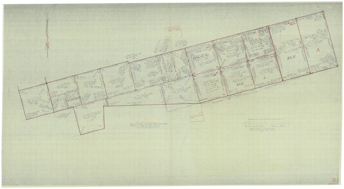
Reagan County Working Sketch 30

Print $40.00
- Digital $50.00
Reagan County Working Sketch 30
1963
Size 31.9 x 57.3 inches
Map/Doc 71872
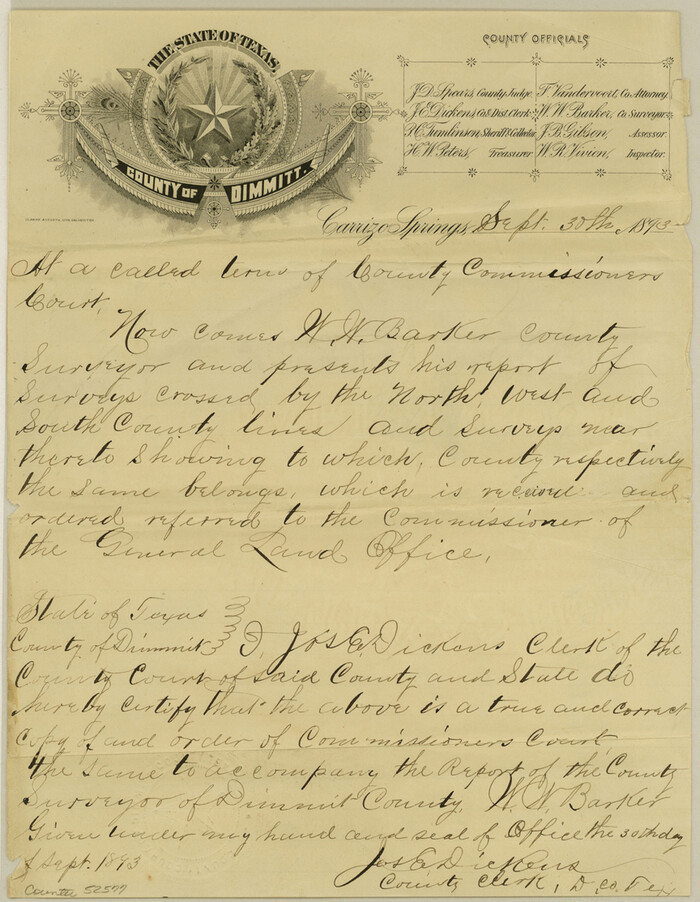
Dimmit County Boundary File 5

Print $6.00
- Digital $50.00
Dimmit County Boundary File 5
Size 11.1 x 8.6 inches
Map/Doc 52577
Map representing the surveys made in Bexar County


Print $40.00
- Digital $50.00
Map representing the surveys made in Bexar County
1839
Size 76.0 x 68.4 inches
Map/Doc 1947
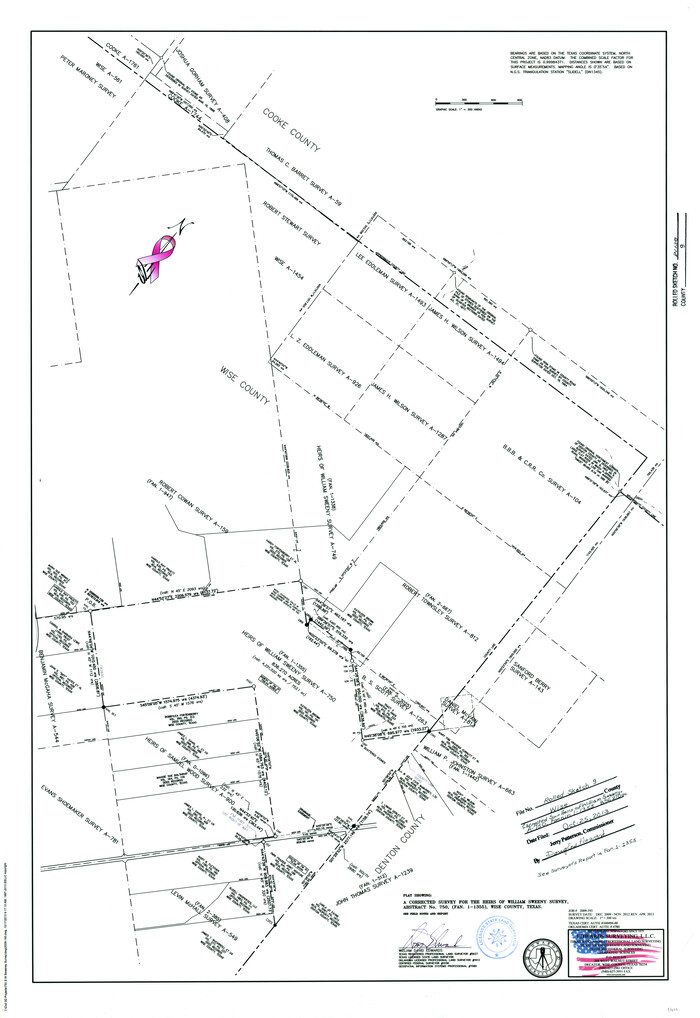
Wise County Rolled Sketch 9

Print $20.00
- Digital $50.00
Wise County Rolled Sketch 9
Size 35.2 x 24.2 inches
Map/Doc 93640
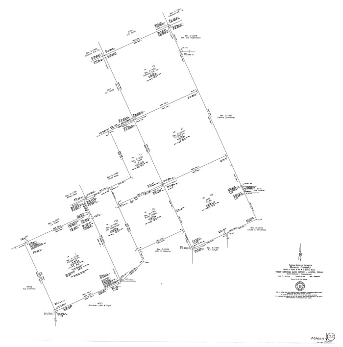
Mason County Working Sketch 22

Print $20.00
- Digital $50.00
Mason County Working Sketch 22
2000
Size 31.1 x 30.8 inches
Map/Doc 70858
Chocolate Bayou, Texas showing proposed connection from its mouth to West Galveston Bay for a Light Draft Navigation
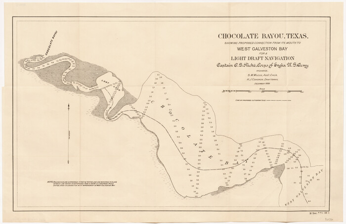

Print $20.00
- Digital $50.00
Chocolate Bayou, Texas showing proposed connection from its mouth to West Galveston Bay for a Light Draft Navigation
Size 13.2 x 20.4 inches
Map/Doc 96557
Flight Mission No. DAH-17M, Frame 18, Orange County

Print $20.00
- Digital $50.00
Flight Mission No. DAH-17M, Frame 18, Orange County
1953
Size 18.5 x 22.6 inches
Map/Doc 86881
Current Miscellaneous File 118


Print $214.00
- Digital $50.00
Current Miscellaneous File 118
Map/Doc 87238
Crockett County Rolled Sketch P


Print $20.00
- Digital $50.00
Crockett County Rolled Sketch P
1927
Size 24.3 x 47.3 inches
Map/Doc 8696
Kent County Sketch File 1


Print $6.00
- Digital $50.00
Kent County Sketch File 1
1882
Size 10.9 x 12.2 inches
Map/Doc 28823
Webb County Working Sketch 12


Print $20.00
- Digital $50.00
Webb County Working Sketch 12
1921
Size 15.9 x 14.6 inches
Map/Doc 72377
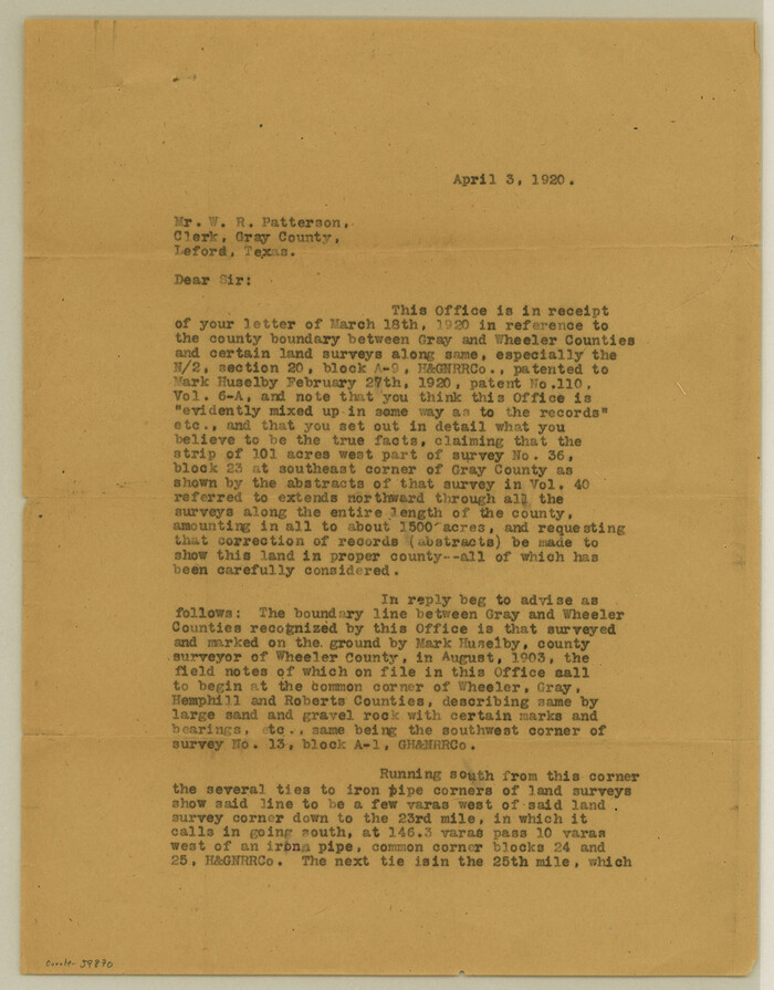
Wheeler County Boundary File 1c

Print $4.00
- Digital $50.00
Wheeler County Boundary File 1c
Size 11.4 x 8.9 inches
Map/Doc 59870
You may also like
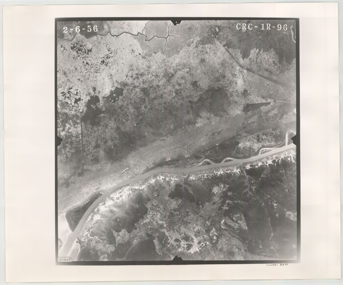
Flight Mission No. CRC-1R, Frame 96, Chambers County

Print $20.00
- Digital $50.00
Flight Mission No. CRC-1R, Frame 96, Chambers County
1956
Size 18.6 x 22.3 inches
Map/Doc 84711
Montgomery County Rolled Sketch 48
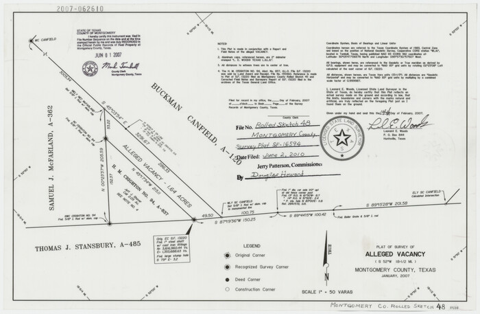

Print $20.00
- Digital $50.00
Montgomery County Rolled Sketch 48
2007
Size 11.2 x 17.2 inches
Map/Doc 89278
Erath County Working Sketch 10
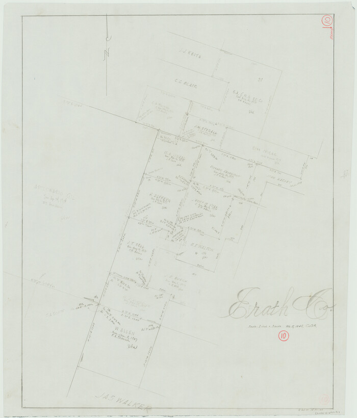

Print $20.00
- Digital $50.00
Erath County Working Sketch 10
1948
Size 28.7 x 24.5 inches
Map/Doc 69091
General Highway Map, Newton County, Texas


Print $20.00
General Highway Map, Newton County, Texas
1961
Size 19.3 x 25.0 inches
Map/Doc 79612
Williamson County Sketch File 4


Print $26.00
- Digital $50.00
Williamson County Sketch File 4
1849
Size 15.9 x 10.4 inches
Map/Doc 40304
Presidio County Rolled Sketch 131A


Print $20.00
- Digital $50.00
Presidio County Rolled Sketch 131A
1975
Size 30.5 x 24.9 inches
Map/Doc 10706
Upton County Working Sketch 33
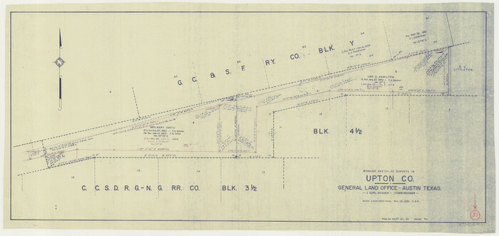

Print $20.00
- Digital $50.00
Upton County Working Sketch 33
1955
Size 17.9 x 37.8 inches
Map/Doc 69529
Map of Bandera County
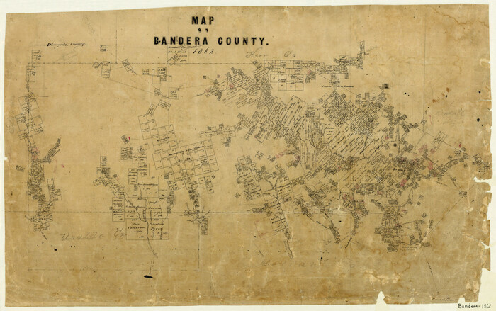

Print $20.00
- Digital $50.00
Map of Bandera County
1862
Size 19.0 x 30.1 inches
Map/Doc 3271
[Beaumont, Sour Lake and Western Ry. Right of Way and Alignment - Frisco]
![64114, [Beaumont, Sour Lake and Western Ry. Right of Way and Alignment - Frisco], General Map Collection](https://historictexasmaps.com/wmedia_w700/maps/64114.tif.jpg)
![64114, [Beaumont, Sour Lake and Western Ry. Right of Way and Alignment - Frisco], General Map Collection](https://historictexasmaps.com/wmedia_w700/maps/64114.tif.jpg)
Print $20.00
- Digital $50.00
[Beaumont, Sour Lake and Western Ry. Right of Way and Alignment - Frisco]
1910
Size 19.9 x 46.0 inches
Map/Doc 64114
[Plat of Trinity River w/ Midstream Profile in Liberty County by US Government 1899]
![65340, [Plat of Trinity River w/ Midstream Profile in Liberty County by US Government 1899], General Map Collection](https://historictexasmaps.com/wmedia_w700/maps/65340.tif.jpg)
![65340, [Plat of Trinity River w/ Midstream Profile in Liberty County by US Government 1899], General Map Collection](https://historictexasmaps.com/wmedia_w700/maps/65340.tif.jpg)
Print $20.00
- Digital $50.00
[Plat of Trinity River w/ Midstream Profile in Liberty County by US Government 1899]
1899
Size 12.8 x 18.2 inches
Map/Doc 65340
Yoakum County Rolled Sketch 3(2)


Print $40.00
- Digital $50.00
Yoakum County Rolled Sketch 3(2)
1959
Size 12.7 x 128.8 inches
Map/Doc 10163
El Paso County Boundary File 7
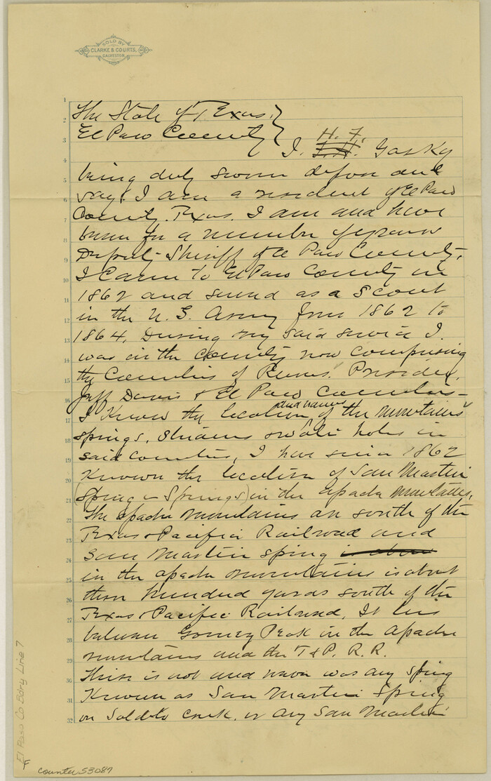

Print $14.00
- Digital $50.00
El Paso County Boundary File 7
Size 14.0 x 8.8 inches
Map/Doc 53087
![64371, [Cotton Belt] St. Louis Arkansas & Texas R'y, Lufkin Branch, Formely the Kansas & Gulf Short Line, General Map Collection](https://historictexasmaps.com/wmedia_w1800h1800/maps/64371.tif.jpg)