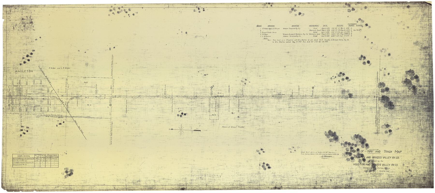
Right-of-Way and Track Map, Houston and Brazos Valley Ry. Co. operated by the Houston and Brazos Valley Ry. Co.
Station 218+08 to Station 426+00
Z-2-185
-
Map/Doc
64607
-
Collection
General Map Collection
-
Object Dates
3/30/1918 (Creation Date)
7/23/1929 (Revision Date)
12/23/1929 (Revision Date)
-
People and Organizations
A. Munson (Surveyor/Engineer)
J. H. Cain (Draftsman)
J. T. Alley (Draftsman)
-
Counties
Brazoria
-
Subjects
Railroads
-
Height x Width
24.9 x 56.5 inches
63.3 x 143.5 cm
-
Medium
blueprint/diazo
-
Scale
1" = 400 feet
-
Comments
See counter nos. 64602 through 64611 and 66713 for other sheets.
-
Features
H&BV
SLB&M
Angleton
Part of: General Map Collection
Refugio County Boundary File 1

Print $6.00
- Digital $50.00
Refugio County Boundary File 1
Size 8.1 x 3.4 inches
Map/Doc 58225
Val Verde County Sketch File 51

Print $10.00
- Digital $50.00
Val Verde County Sketch File 51
1959
Size 9.8 x 8.7 inches
Map/Doc 39320
Crockett County Rolled Sketch P1

Print $82.00
- Digital $50.00
Crockett County Rolled Sketch P1
1927
Size 10.3 x 15.9 inches
Map/Doc 44220
Matagorda Light to Aransas Pass

Print $20.00
- Digital $50.00
Matagorda Light to Aransas Pass
1966
Size 36.0 x 45.0 inches
Map/Doc 73399
Oldham County Boundary File 1a

Print $62.00
- Digital $50.00
Oldham County Boundary File 1a
Size 13.0 x 8.1 inches
Map/Doc 57734
Wharton County

Print $40.00
- Digital $50.00
Wharton County
1946
Size 43.0 x 49.2 inches
Map/Doc 73321
Caldwell County

Print $20.00
- Digital $50.00
Caldwell County
1935
Size 37.8 x 42.0 inches
Map/Doc 73095
Runnels County Sketch File 27

Print $6.00
Runnels County Sketch File 27
1949
Size 11.5 x 8.9 inches
Map/Doc 35490
Tarrant County Working Sketch 4

Print $20.00
- Digital $50.00
Tarrant County Working Sketch 4
1952
Size 20.6 x 19.7 inches
Map/Doc 62421
Flight Mission No. CZW-1R, Frame 116, Hardeman County

Print $20.00
- Digital $50.00
Flight Mission No. CZW-1R, Frame 116, Hardeman County
1956
Size 18.6 x 19.0 inches
Map/Doc 85235
Edwards County Sketch File 55

Print $4.00
- Digital $50.00
Edwards County Sketch File 55
1982
Size 9.1 x 14.5 inches
Map/Doc 21806
Erath County Working Sketch 21

Print $20.00
- Digital $50.00
Erath County Working Sketch 21
1965
Size 23.9 x 19.8 inches
Map/Doc 69102
You may also like
Flight Mission No. DAH-17M, Frame 68, Orange County

Print $20.00
- Digital $50.00
Flight Mission No. DAH-17M, Frame 68, Orange County
1953
Size 18.6 x 22.4 inches
Map/Doc 86902
Lampasas County Sketch File A1

Print $2.00
- Digital $50.00
Lampasas County Sketch File A1
Size 6.8 x 6.3 inches
Map/Doc 29385
Mitchell County

Print $20.00
- Digital $50.00
Mitchell County
1889
Size 44.3 x 37.8 inches
Map/Doc 66935
Dallas County Boundary File 6a

Print $36.00
- Digital $50.00
Dallas County Boundary File 6a
Size 14.0 x 8.6 inches
Map/Doc 52189
Map Showing Corrections of Capitol Leagues in Conflict in Oldham Co.

Print $40.00
- Digital $50.00
Map Showing Corrections of Capitol Leagues in Conflict in Oldham Co.
1886
Size 52.5 x 31.3 inches
Map/Doc 89800
Brown County Sketch File 11

Print $4.00
- Digital $50.00
Brown County Sketch File 11
1859
Size 7.7 x 9.9 inches
Map/Doc 16597

General Highway Map, El Paso County, Texas

Print $20.00
General Highway Map, El Paso County, Texas
1961
Size 18.2 x 24.6 inches
Map/Doc 79459
Map of Hamilton County

Print $20.00
- Digital $50.00
Map of Hamilton County
1872
Size 15.0 x 21.9 inches
Map/Doc 4557
Rattlesnake Pasture in Howard and Borden Counties

Print $20.00
- Digital $50.00
Rattlesnake Pasture in Howard and Borden Counties
1908
Size 34.2 x 29.9 inches
Map/Doc 91204
Harris County Working Sketch 92

Print $40.00
- Digital $50.00
Harris County Working Sketch 92
1974
Size 31.7 x 55.4 inches
Map/Doc 65984
Glasscock County Working Sketch 11

Print $40.00
- Digital $50.00
Glasscock County Working Sketch 11
1957
Size 87.4 x 36.2 inches
Map/Doc 63184