[Sketch for Mineral Application 16777]
[Sketch of Sanderson and O'Reilly Pecos River survey]
K-1-16a; K-1-16b
-
Map/Doc
65656
-
Collection
General Map Collection
-
Height x Width
80.3 x 20.0 inches
204.0 x 50.8 cm
Part of: General Map Collection
Burnet County Boundary File 1
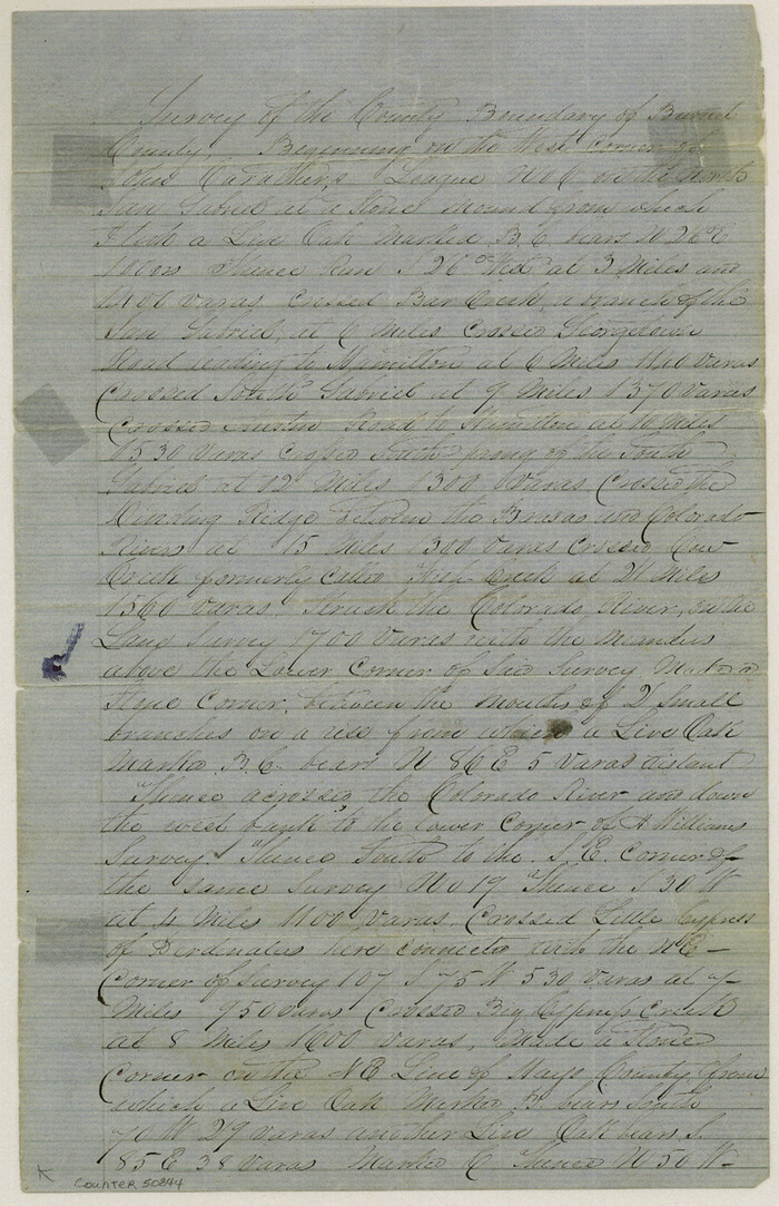

Print $28.00
- Digital $50.00
Burnet County Boundary File 1
Size 12.8 x 8.3 inches
Map/Doc 50844
Trinity County Working Sketch 13


Print $20.00
- Digital $50.00
Trinity County Working Sketch 13
1956
Size 18.2 x 24.7 inches
Map/Doc 69462
Shelby County
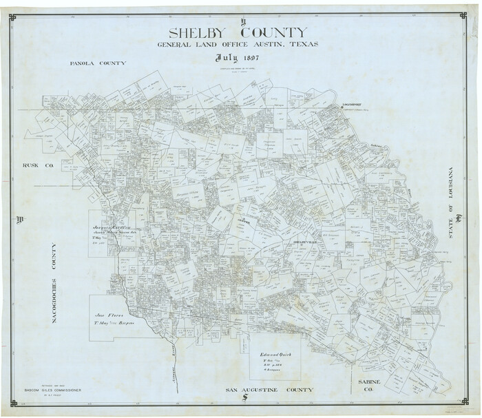

Print $40.00
- Digital $50.00
Shelby County
1897
Size 43.4 x 50.1 inches
Map/Doc 63033
Hardin County Sketch File 71f


Print $20.00
- Digital $50.00
Hardin County Sketch File 71f
1997
Size 25.2 x 36.7 inches
Map/Doc 11643
Fort Bend County State Real Property Sketch 2
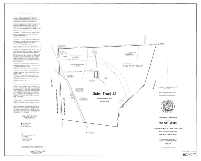

Print $40.00
- Digital $50.00
Fort Bend County State Real Property Sketch 2
1986
Size 34.8 x 43.4 inches
Map/Doc 61676
Crockett County Working Sketch 96


Print $20.00
- Digital $50.00
Crockett County Working Sketch 96
1979
Size 25.5 x 16.9 inches
Map/Doc 68429
Harris County Rolled Sketch R


Print $40.00
- Digital $50.00
Harris County Rolled Sketch R
1915
Size 20.3 x 93.8 inches
Map/Doc 9114
Val Verde County Sketch File 6
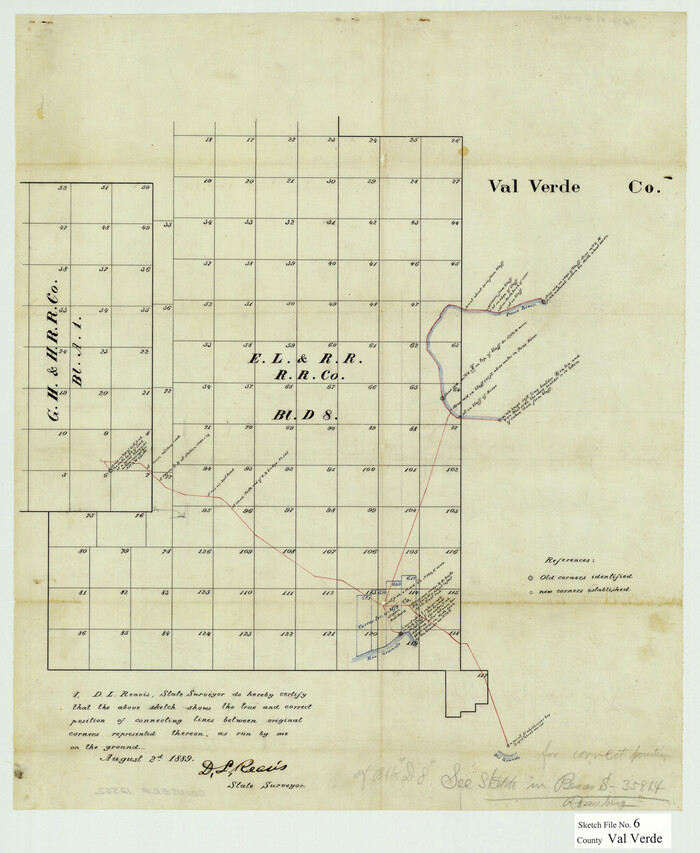

Print $32.00
- Digital $50.00
Val Verde County Sketch File 6
1889
Size 19.6 x 16.1 inches
Map/Doc 12562
Archer County Boundary File 1
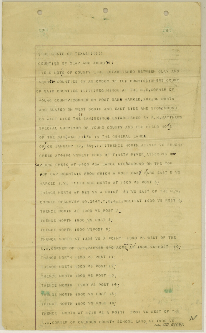

Print $26.00
- Digital $50.00
Archer County Boundary File 1
Size 14.2 x 8.8 inches
Map/Doc 50082
Zavala County Sketch File 2


Print $22.00
- Digital $50.00
Zavala County Sketch File 2
Size 13.2 x 14.4 inches
Map/Doc 41261
Hood County Sketch File 9


Print $26.00
- Digital $50.00
Hood County Sketch File 9
1859
Size 9.6 x 4.5 inches
Map/Doc 26586
Tyler County Working Sketch 11
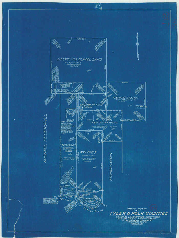

Print $20.00
- Digital $50.00
Tyler County Working Sketch 11
1941
Size 23.0 x 17.3 inches
Map/Doc 69481
You may also like
Hill County Sketch File 4
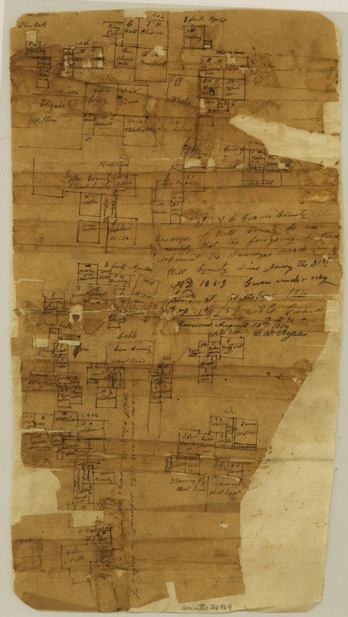

Print $8.00
- Digital $50.00
Hill County Sketch File 4
1859
Size 14.1 x 8.0 inches
Map/Doc 26464
Medina County Working Sketch 2


Print $20.00
- Digital $50.00
Medina County Working Sketch 2
1942
Size 30.3 x 31.0 inches
Map/Doc 70917
Ochiltree County School Land League Number 204
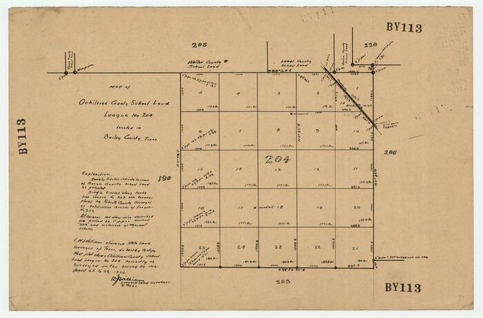

Print $20.00
- Digital $50.00
Ochiltree County School Land League Number 204
1926
Size 20.8 x 13.7 inches
Map/Doc 92473
Harris County Rolled Sketch F
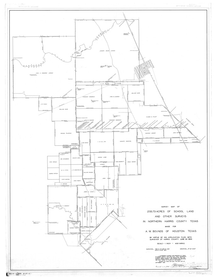

Print $40.00
- Digital $50.00
Harris County Rolled Sketch F
1933
Size 56.6 x 44.6 inches
Map/Doc 9121
[Area around Gillespie County, Bastrop County and El Paso County School Land Leagues]
![90866, [Area around Gillespie County, Bastrop County and El Paso County School Land Leagues], Twichell Survey Records](https://historictexasmaps.com/wmedia_w700/maps/90866-2.tif.jpg)
![90866, [Area around Gillespie County, Bastrop County and El Paso County School Land Leagues], Twichell Survey Records](https://historictexasmaps.com/wmedia_w700/maps/90866-2.tif.jpg)
Print $20.00
- Digital $50.00
[Area around Gillespie County, Bastrop County and El Paso County School Land Leagues]
1886
Size 25.7 x 29.8 inches
Map/Doc 90866
United States - Gulf Coast Texas - Southern part of Laguna Madre


Print $20.00
- Digital $50.00
United States - Gulf Coast Texas - Southern part of Laguna Madre
1941
Size 18.2 x 27.7 inches
Map/Doc 72947
[I. & G. N. Block 1, Runnels County School Land and adjacent areas]
![91615, [I. & G. N. Block 1, Runnels County School Land and adjacent areas], Twichell Survey Records](https://historictexasmaps.com/wmedia_w700/maps/91615-1.tif.jpg)
![91615, [I. & G. N. Block 1, Runnels County School Land and adjacent areas], Twichell Survey Records](https://historictexasmaps.com/wmedia_w700/maps/91615-1.tif.jpg)
Print $20.00
- Digital $50.00
[I. & G. N. Block 1, Runnels County School Land and adjacent areas]
Size 34.2 x 28.0 inches
Map/Doc 91615
San Jacinto County Sketch File 5
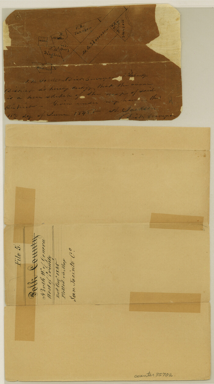

Print $2.00
San Jacinto County Sketch File 5
1848
Size 8.1 x 14.5 inches
Map/Doc 35702
Refugio County Sketch File 10
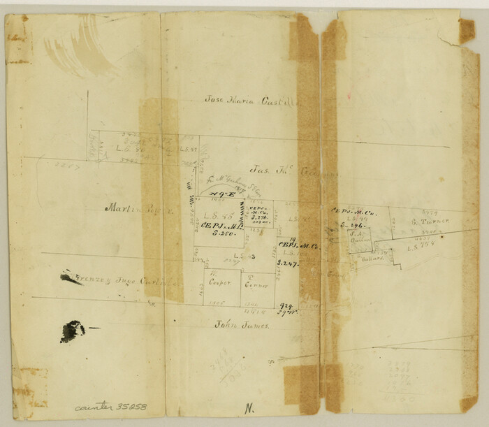

Print $4.00
- Digital $50.00
Refugio County Sketch File 10
Size 8.2 x 9.4 inches
Map/Doc 35258
Cottle County Working Sketch 12
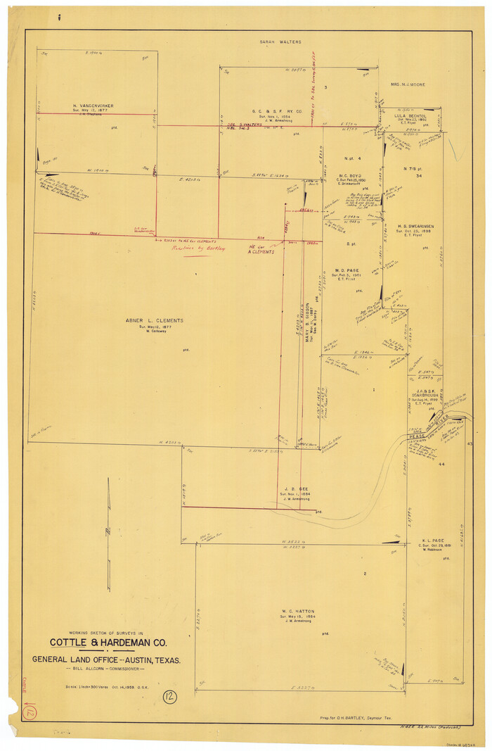

Print $20.00
- Digital $50.00
Cottle County Working Sketch 12
1959
Size 39.1 x 25.7 inches
Map/Doc 68322
K&E Compensating Polar Planimeter
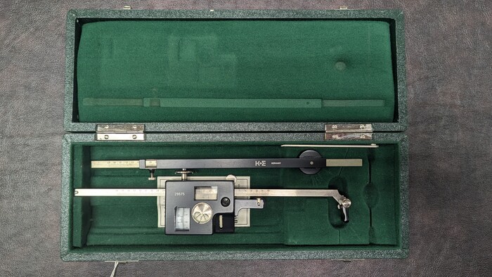

K&E Compensating Polar Planimeter
1972
Size 2.1 x 11.6 inches
Map/Doc 97302
Freestone County Sketch File 10


Print $40.00
- Digital $50.00
Freestone County Sketch File 10
Size 13.0 x 13.5 inches
Map/Doc 23058
![65656, [Sketch for Mineral Application 16777], General Map Collection](https://historictexasmaps.com/wmedia_w1800h1800/maps/65656-1.tif.jpg)