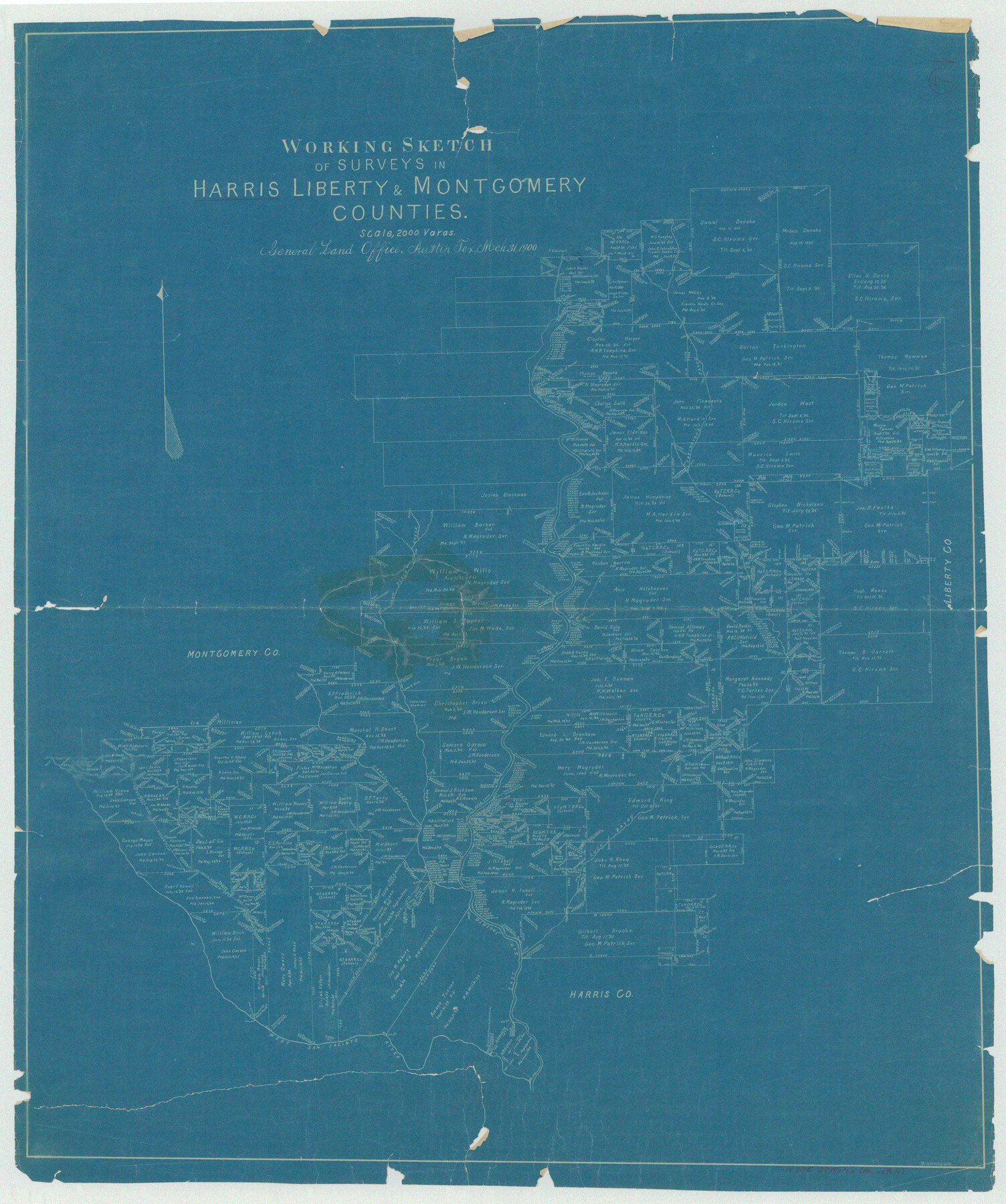
Harris County Working Sketch 7
-
Map/Doc
65899
-
Collection
General Map Collection
-
Object Dates
3/31/1900 (Creation Date)
-
Counties
Harris Liberty Montgomery
-
Subjects
Surveying Working Sketch
-
Height x Width
34.2 x 28.6 inches
86.9 x 72.6 cm
-
Scale
1" = 2000 varas
Part of: General Map Collection
Haskell County Boundary File 6

Print $40.00
- Digital $50.00
Haskell County Boundary File 6
Size 7.6 x 33.9 inches
Map/Doc 54582
Donley County Rolled Sketch 3

Print $20.00
- Digital $50.00
Donley County Rolled Sketch 3
1946
Size 15.1 x 21.9 inches
Map/Doc 5729
Presidio County Rolled Sketch 131A

Print $20.00
- Digital $50.00
Presidio County Rolled Sketch 131A
Size 17.5 x 14.1 inches
Map/Doc 10707
Kingston South Quadrangle

Print $20.00
- Digital $50.00
Kingston South Quadrangle
1999
Size 35.4 x 23.4 inches
Map/Doc 97364
McLennan County Sketch File 2

Print $6.00
- Digital $50.00
McLennan County Sketch File 2
1856
Size 11.5 x 7.7 inches
Map/Doc 31230
Flight Mission No. BRA-8M, Frame 126, Jefferson County

Print $20.00
- Digital $50.00
Flight Mission No. BRA-8M, Frame 126, Jefferson County
1953
Size 19.1 x 22.7 inches
Map/Doc 85622

Edwards County Sketch File 5

Print $5.00
- Digital $50.00
Edwards County Sketch File 5
Size 9.0 x 3.9 inches
Map/Doc 21682
Newton County Working Sketch 33

Print $20.00
- Digital $50.00
Newton County Working Sketch 33
1956
Size 28.3 x 22.3 inches
Map/Doc 71279
Hale County Sketch File 3

Print $4.00
- Digital $50.00
Hale County Sketch File 3
1888
Size 8.6 x 12.7 inches
Map/Doc 24723
Bell County Working Sketch 3

Print $3.00
- Digital $50.00
Bell County Working Sketch 3
1940
Size 10.8 x 12.8 inches
Map/Doc 67343
Webb County Sketch File 10-2

Print $10.00
- Digital $50.00
Webb County Sketch File 10-2
1933
Size 16.9 x 10.9 inches
Map/Doc 39766
You may also like
Map of Denton County

Print $20.00
- Digital $50.00
Map of Denton County
1877
Size 20.7 x 18.6 inches
Map/Doc 3475
Terrell County Rolled Sketch 50

Print $20.00
- Digital $50.00
Terrell County Rolled Sketch 50
1963
Size 35.9 x 20.5 inches
Map/Doc 7967
General Highway Map, Rusk County, Texas

Print $20.00
General Highway Map, Rusk County, Texas
1961
Size 24.9 x 18.2 inches
Map/Doc 79643
Wise County Sketch File 45

Print $4.00
- Digital $50.00
Wise County Sketch File 45
Size 8.6 x 14.2 inches
Map/Doc 40605
Red River County Sketch File 16

Print $4.00
- Digital $50.00
Red River County Sketch File 16
1866
Size 8.7 x 7.8 inches
Map/Doc 35139
[Unknown Building Sketch]
![75793, [Unknown Building Sketch], Maddox Collection](https://historictexasmaps.com/wmedia_w700/maps/75793.tif.jpg)
Print $20.00
- Digital $50.00
[Unknown Building Sketch]
Size 15.3 x 23.0 inches
Map/Doc 75793
Pecos County Sketch File 73

Print $48.00
- Digital $50.00
Pecos County Sketch File 73
1940
Size 8.9 x 9.1 inches
Map/Doc 33876
East Portion of Matagorda Bay in Matagorda County, showing Subdivision for Mineral Development

Print $40.00
- Digital $50.00
East Portion of Matagorda Bay in Matagorda County, showing Subdivision for Mineral Development
1949
Size 30.8 x 51.1 inches
Map/Doc 1909
Cooke County Sketch File 25

Print $4.00
- Digital $50.00
Cooke County Sketch File 25
1872
Size 8.2 x 6.8 inches
Map/Doc 19275
Houston County Rolled Sketch 12

Print $20.00
- Digital $50.00
Houston County Rolled Sketch 12
Size 11.8 x 18.1 inches
Map/Doc 95396
Chambers County Boundary File 50a

Print $40.00
- Digital $50.00
Chambers County Boundary File 50a
Size 22.2 x 17.1 inches
Map/Doc 51270
