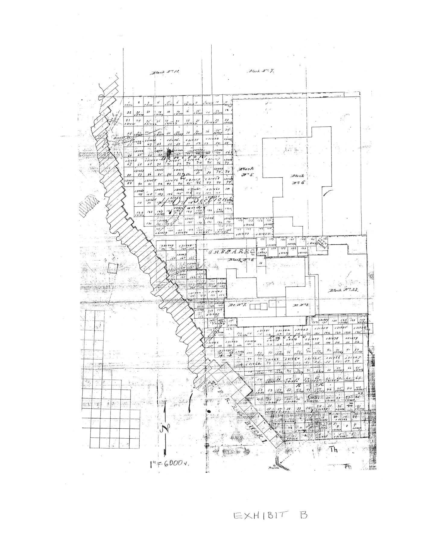
Presidio County Rolled Sketch 131A
Exhibit B - [West part of Presidio County]
-
Map/Doc
10707
-
Collection
General Map Collection
-
Counties
Presidio
-
Subjects
Surveying Rolled Sketch
-
Height x Width
17.5 x 14.1 inches
44.5 x 35.8 cm
-
Comments
See 10706-10713, 9801, and 9802 for all sketches in Presidio County Rolled Sketch 131A. See also Presidio County Sketch File 116 (34842), Presidio County Sketch File 116A (34885), and Presidio County Rolled Sketch 131B (9803) for report, exhibits, and additional sketches.
Part of: General Map Collection
Brewster County Rolled Sketch 14

Print $20.00
- Digital $50.00
Brewster County Rolled Sketch 14
1889
Size 31.5 x 27.3 inches
Map/Doc 8469
Henderson County

Print $40.00
- Digital $50.00
Henderson County
1897
Size 30.2 x 60.8 inches
Map/Doc 66859
Concho County Sketch File 10

Print $20.00
- Digital $50.00
Concho County Sketch File 10
1887
Size 23.1 x 33.8 inches
Map/Doc 11150
Galveston County Sketch File 1b

Print $6.00
- Digital $50.00
Galveston County Sketch File 1b
1845
Size 16.2 x 11.0 inches
Map/Doc 23347
Sketches of Surveys in Montgomery Co.

Print $2.00
- Digital $50.00
Sketches of Surveys in Montgomery Co.
1845
Size 10.2 x 8.0 inches
Map/Doc 69731
Bee County Working Sketch 26

Print $20.00
- Digital $50.00
Bee County Working Sketch 26
1987
Size 30.9 x 36.0 inches
Map/Doc 67276
[Surveys along the Lavaca River]
![25, [Surveys along the Lavaca River], General Map Collection](https://historictexasmaps.com/wmedia_w700/maps/25.tif.jpg)
Print $2.00
- Digital $50.00
[Surveys along the Lavaca River]
1833
Size 12.9 x 8.9 inches
Map/Doc 25
Gaines County Rolled Sketch 30

Print $20.00
- Digital $50.00
Gaines County Rolled Sketch 30
1962
Size 19.4 x 26.3 inches
Map/Doc 5943
Val Verde County Boundary File 1

Print $6.00
- Digital $50.00
Val Verde County Boundary File 1
Size 14.3 x 8.7 inches
Map/Doc 59572
Coleman County Working Sketch 3

Print $20.00
- Digital $50.00
Coleman County Working Sketch 3
1918
Size 27.1 x 29.2 inches
Map/Doc 68069
Texas Coordinate File 8

Print $4.00
- Digital $50.00
Texas Coordinate File 8
Size 11.3 x 8.7 inches
Map/Doc 75318
Donley County Sketch File 19

Print $20.00
- Digital $50.00
Donley County Sketch File 19
Size 20.4 x 8.4 inches
Map/Doc 11366
You may also like
Sutton County Sketch File 59

Print $20.00
- Digital $50.00
Sutton County Sketch File 59
Size 24.6 x 16.5 inches
Map/Doc 12394
Montague County Working Sketch 35

Print $20.00
- Digital $50.00
Montague County Working Sketch 35
1980
Size 24.8 x 31.9 inches
Map/Doc 71101
Map of the Interior of Louisiana with a part of New Mexico

Print $20.00
- Digital $50.00
Map of the Interior of Louisiana with a part of New Mexico
1813
Size 11.9 x 15.7 inches
Map/Doc 94460
Hardeman County Working Sketch 1

Print $20.00
- Digital $50.00
Hardeman County Working Sketch 1
Size 16.3 x 21.3 inches
Map/Doc 63382

Missouri, Kansas & Texas Railway in Morris County

Print $20.00
- Digital $50.00
Missouri, Kansas & Texas Railway in Morris County
1906
Size 14.9 x 36.2 inches
Map/Doc 64274
Coke County Sketch File 24

Print $6.00
- Digital $50.00
Coke County Sketch File 24
1927
Size 11.1 x 8.8 inches
Map/Doc 18615
[Sketch around Falls County School Land and surveys to South]
![91886, [Sketch around Falls County School Land and surveys to South], Twichell Survey Records](https://historictexasmaps.com/wmedia_w700/maps/91886-1.tif.jpg)
Print $20.00
- Digital $50.00
[Sketch around Falls County School Land and surveys to South]
1894
Size 13.1 x 12.1 inches
Map/Doc 91886
Glasscock County Rolled Sketch 18

Print $20.00
- Digital $50.00
Glasscock County Rolled Sketch 18
Size 24.2 x 24.0 inches
Map/Doc 96576
[Part of Block A4, Block C2]
![90744, [Part of Block A4, Block C2], Twichell Survey Records](https://historictexasmaps.com/wmedia_w700/maps/90744-1.tif.jpg)
Print $20.00
- Digital $50.00
[Part of Block A4, Block C2]
Size 14.7 x 20.4 inches
Map/Doc 90744
Brazoria County Working Sketch 40

Print $3.00
- Digital $50.00
Brazoria County Working Sketch 40
1982
Size 11.0 x 10.8 inches
Map/Doc 67525
