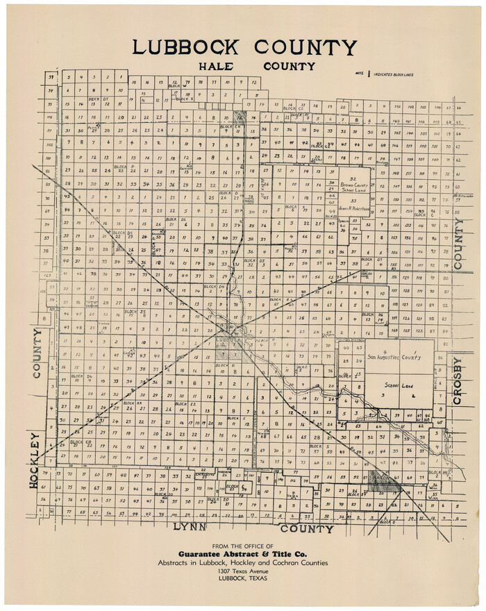
[Sketch around Falls County School Land and surveys to South]
215-21
-
Map/Doc
91886
-
Collection
Twichell Survey Records
-
Object Dates
8/13/1894 (Creation Date)
-
People and Organizations
T.M. Cecil (Surveyor/Engineer)
-
Counties
Stephens
-
Height x Width
13.1 x 12.1 inches
33.3 x 30.7 cm
Part of: Twichell Survey Records
Map Showing a Resurvey of Part of Blk. I, H. &. G. N. Ry. Co. Pecos County, Texas, following field notes copied from Jacob Kuechler's field book of his original survey made in October and November 1876
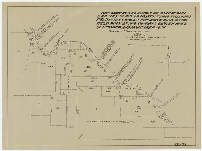

Print $20.00
- Digital $50.00
Map Showing a Resurvey of Part of Blk. I, H. &. G. N. Ry. Co. Pecos County, Texas, following field notes copied from Jacob Kuechler's field book of his original survey made in October and November 1876
1930
Size 19.2 x 14.4 inches
Map/Doc 91549
[Coordinates for Block H, Sections 1 and 2 and Block C41, Section 4]
![92566, [Coordinates for Block H, Sections 1 and 2 and Block C41, Section 4], Twichell Survey Records](https://historictexasmaps.com/wmedia_w700/maps/92566-1.tif.jpg)
![92566, [Coordinates for Block H, Sections 1 and 2 and Block C41, Section 4], Twichell Survey Records](https://historictexasmaps.com/wmedia_w700/maps/92566-1.tif.jpg)
Print $3.00
- Digital $50.00
[Coordinates for Block H, Sections 1 and 2 and Block C41, Section 4]
1940
Size 11.4 x 17.4 inches
Map/Doc 92566
[Blocks 47, Z, XO2, M18, M23, M25, and H]
![91186, [Blocks 47, Z, XO2, M18, M23, M25, and H], Twichell Survey Records](https://historictexasmaps.com/wmedia_w700/maps/91186-1.tif.jpg)
![91186, [Blocks 47, Z, XO2, M18, M23, M25, and H], Twichell Survey Records](https://historictexasmaps.com/wmedia_w700/maps/91186-1.tif.jpg)
Print $20.00
- Digital $50.00
[Blocks 47, Z, XO2, M18, M23, M25, and H]
Size 30.1 x 23.5 inches
Map/Doc 91186
[Sketch of Railroad Switchyard stretching from Ross to Monroe Streets, Amarillo, Texas]
![91830, [Sketch of Railroad Switchyard stretching from Ross to Monroe Streets, Amarillo, Texas], Twichell Survey Records](https://historictexasmaps.com/wmedia_w700/maps/91830-1.tif.jpg)
![91830, [Sketch of Railroad Switchyard stretching from Ross to Monroe Streets, Amarillo, Texas], Twichell Survey Records](https://historictexasmaps.com/wmedia_w700/maps/91830-1.tif.jpg)
Print $20.00
- Digital $50.00
[Sketch of Railroad Switchyard stretching from Ross to Monroe Streets, Amarillo, Texas]
Size 10.0 x 36.1 inches
Map/Doc 91830
[Block K, Public School Land]
![92907, [Block K, Public School Land], Twichell Survey Records](https://historictexasmaps.com/wmedia_w700/maps/92907-1.tif.jpg)
![92907, [Block K, Public School Land], Twichell Survey Records](https://historictexasmaps.com/wmedia_w700/maps/92907-1.tif.jpg)
Print $20.00
- Digital $50.00
[Block K, Public School Land]
1902
Size 17.9 x 32.8 inches
Map/Doc 92907
[Sketch showing Blocks B5, B6 and G.&M. Block 5 north of Capitol Land]
![92989, [Sketch showing Blocks B5, B6 and G.&M. Block 5 north of Capitol Land], Twichell Survey Records](https://historictexasmaps.com/wmedia_w700/maps/92989-1.tif.jpg)
![92989, [Sketch showing Blocks B5, B6 and G.&M. Block 5 north of Capitol Land], Twichell Survey Records](https://historictexasmaps.com/wmedia_w700/maps/92989-1.tif.jpg)
Print $20.00
- Digital $50.00
[Sketch showing Blocks B5, B6 and G.&M. Block 5 north of Capitol Land]
Size 38.4 x 20.9 inches
Map/Doc 92989
[R. T. Bucy's Survey 3, League 321]
![91296, [R. T. Bucy's Survey 3, League 321], Twichell Survey Records](https://historictexasmaps.com/wmedia_w700/maps/91296-1.tif.jpg)
![91296, [R. T. Bucy's Survey 3, League 321], Twichell Survey Records](https://historictexasmaps.com/wmedia_w700/maps/91296-1.tif.jpg)
Print $20.00
- Digital $50.00
[R. T. Bucy's Survey 3, League 321]
Size 12.2 x 19.1 inches
Map/Doc 91296
[T. C. & S. F. Block K11, Capitol Leagues 367, 373, 374, and Blocks D and B]
![90542, [T. C. & S. F. Block K11, Capitol Leagues 367, 373, 374, and Blocks D and B], Twichell Survey Records](https://historictexasmaps.com/wmedia_w700/maps/90542-1.tif.jpg)
![90542, [T. C. & S. F. Block K11, Capitol Leagues 367, 373, 374, and Blocks D and B], Twichell Survey Records](https://historictexasmaps.com/wmedia_w700/maps/90542-1.tif.jpg)
Print $3.00
- Digital $50.00
[T. C. & S. F. Block K11, Capitol Leagues 367, 373, 374, and Blocks D and B]
Size 9.8 x 13.5 inches
Map/Doc 90542
[H. & T. C. 46, Sections 79- 84]
![91262, [H. & T. C. 46, Sections 79- 84], Twichell Survey Records](https://historictexasmaps.com/wmedia_w700/maps/91262-1.tif.jpg)
![91262, [H. & T. C. 46, Sections 79- 84], Twichell Survey Records](https://historictexasmaps.com/wmedia_w700/maps/91262-1.tif.jpg)
Print $20.00
- Digital $50.00
[H. & T. C. 46, Sections 79- 84]
Size 27.3 x 32.6 inches
Map/Doc 91262
[H. & T. C. RR. Company, Block 47, Sections 47- 56 Corrected]
![91412, [H. & T. C. RR. Company, Block 47, Sections 47- 56 Corrected], Twichell Survey Records](https://historictexasmaps.com/wmedia_w700/maps/91412-1.tif.jpg)
![91412, [H. & T. C. RR. Company, Block 47, Sections 47- 56 Corrected], Twichell Survey Records](https://historictexasmaps.com/wmedia_w700/maps/91412-1.tif.jpg)
Print $2.00
- Digital $50.00
[H. & T. C. RR. Company, Block 47, Sections 47- 56 Corrected]
Size 11.6 x 9.2 inches
Map/Doc 91412
[Block 37, Townships 1 and 2 North]
![91363, [Block 37, Townships 1 and 2 North], Twichell Survey Records](https://historictexasmaps.com/wmedia_w700/maps/91363-1.tif.jpg)
![91363, [Block 37, Townships 1 and 2 North], Twichell Survey Records](https://historictexasmaps.com/wmedia_w700/maps/91363-1.tif.jpg)
Print $20.00
- Digital $50.00
[Block 37, Townships 1 and 2 North]
Size 19.7 x 40.9 inches
Map/Doc 91363
You may also like
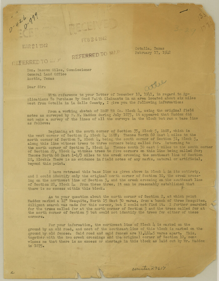
La Salle County Sketch File 48

Print $6.00
- Digital $50.00
La Salle County Sketch File 48
1942
Size 11.2 x 8.8 inches
Map/Doc 29617
Hardeman County Working Sketch 16


Print $20.00
- Digital $50.00
Hardeman County Working Sketch 16
1982
Size 35.7 x 45.1 inches
Map/Doc 63397
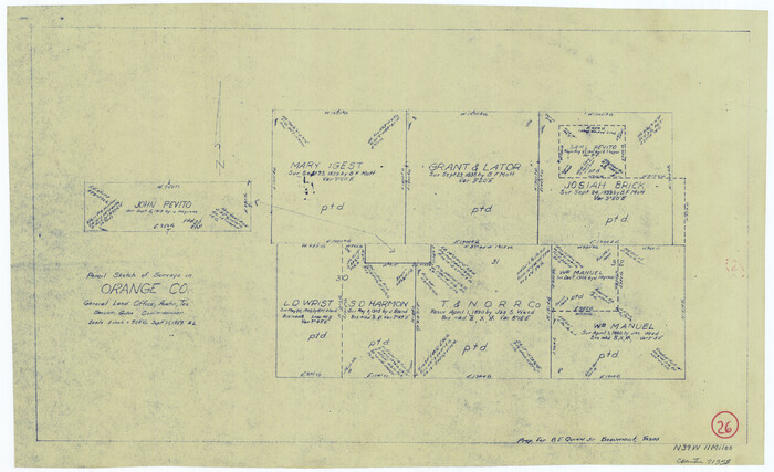
Orange County Working Sketch 26

Print $20.00
- Digital $50.00
Orange County Working Sketch 26
1953
Size 13.4 x 22.0 inches
Map/Doc 71358
Harris County Rolled Sketch 101
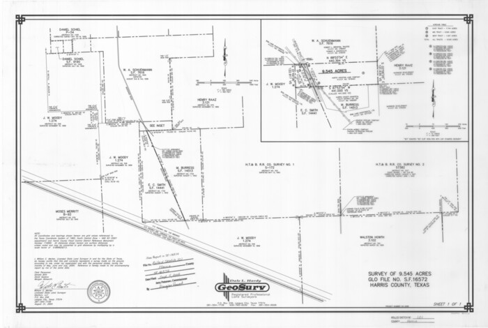

Print $20.00
- Digital $50.00
Harris County Rolled Sketch 101
2004
Size 24.3 x 36.2 inches
Map/Doc 83063
Section 10, Block Z, Cochran County, Texas


Print $20.00
- Digital $50.00
Section 10, Block Z, Cochran County, Texas
1952
Size 12.2 x 17.0 inches
Map/Doc 92521
Smith County Rolled Sketch 6D1
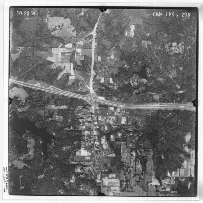

Print $20.00
- Digital $50.00
Smith County Rolled Sketch 6D1
Size 24.7 x 24.7 inches
Map/Doc 10703
General Highway Map, Dallas County, Rockwall County, Texas


Print $20.00
General Highway Map, Dallas County, Rockwall County, Texas
1961
Size 18.4 x 24.5 inches
Map/Doc 79430
Lamb County Boundary File 3
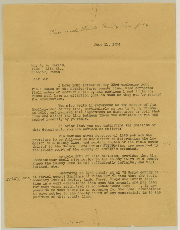

Print $10.00
- Digital $50.00
Lamb County Boundary File 3
Size 11.4 x 8.9 inches
Map/Doc 56079
Hockley County Rolled Sketch 8
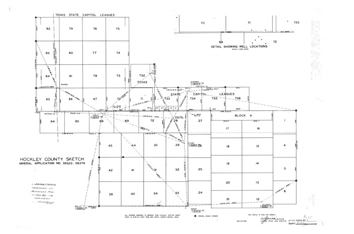

Print $20.00
- Digital $50.00
Hockley County Rolled Sketch 8
1946
Size 25.1 x 38.0 inches
Map/Doc 6217
[Surveys along the Sabine River made under G.W. Smyth, Commissioner]
![89, [Surveys along the Sabine River made under G.W. Smyth, Commissioner], General Map Collection](https://historictexasmaps.com/wmedia_w700/maps/89.tif.jpg)
![89, [Surveys along the Sabine River made under G.W. Smyth, Commissioner], General Map Collection](https://historictexasmaps.com/wmedia_w700/maps/89.tif.jpg)
Print $20.00
- Digital $50.00
[Surveys along the Sabine River made under G.W. Smyth, Commissioner]
Size 12.6 x 17.1 inches
Map/Doc 89
[PSL Block A7, Sections 1 and 10]
![90831, [PSL Block A7, Sections 1 and 10], Twichell Survey Records](https://historictexasmaps.com/wmedia_w700/maps/90831-2.tif.jpg)
![90831, [PSL Block A7, Sections 1 and 10], Twichell Survey Records](https://historictexasmaps.com/wmedia_w700/maps/90831-2.tif.jpg)
Print $3.00
- Digital $50.00
[PSL Block A7, Sections 1 and 10]
Size 11.9 x 9.3 inches
Map/Doc 90831
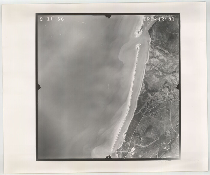
Flight Mission No. CRC-4R, Frame 81, Chambers County

Print $20.00
- Digital $50.00
Flight Mission No. CRC-4R, Frame 81, Chambers County
1956
Size 18.7 x 22.5 inches
Map/Doc 84885
![91886, [Sketch around Falls County School Land and surveys to South], Twichell Survey Records](https://historictexasmaps.com/wmedia_w1800h1800/maps/91886-1.tif.jpg)
