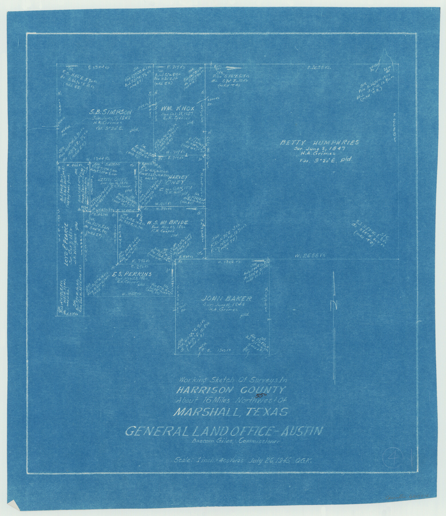
Harrison County Working Sketch 4
-
Map/Doc
66024
-
Collection
General Map Collection
-
Object Dates
7/26/1945 (Creation Date)
-
People and Organizations
Otto G. Kurio (Draftsman)
-
Counties
Harrison
-
Subjects
Surveying Working Sketch
-
Height x Width
17.8 x 15.4 inches
45.2 x 39.1 cm
-
Scale
1" = 400 varas
Part of: General Map Collection
Fisher County Rolled Sketch 5

Print $20.00
- Digital $50.00
Fisher County Rolled Sketch 5
1961
Size 39.1 x 33.7 inches
Map/Doc 8890
Young County Sketch File 10

Print $20.00
- Digital $50.00
Young County Sketch File 10
Size 14.1 x 17.7 inches
Map/Doc 12711
Archer County Working Sketch 15

Print $20.00
- Digital $50.00
Archer County Working Sketch 15
1948
Size 20.7 x 31.9 inches
Map/Doc 67156
La Salle County

Print $40.00
- Digital $50.00
La Salle County
1923
Size 48.5 x 43.5 inches
Map/Doc 95562
Cherokee County Working Sketch 25

Print $20.00
- Digital $50.00
Cherokee County Working Sketch 25
1972
Size 25.1 x 45.5 inches
Map/Doc 67980

Dickens County Rolled Sketch 9

Print $20.00
- Digital $50.00
Dickens County Rolled Sketch 9
1954
Size 41.0 x 30.3 inches
Map/Doc 5708
Upton County Working Sketch 44

Print $20.00
- Digital $50.00
Upton County Working Sketch 44
1962
Size 19.2 x 25.5 inches
Map/Doc 69540
Zavala County Sketch File 12

Print $54.00
- Digital $50.00
Zavala County Sketch File 12
1886
Size 9.0 x 7.7 inches
Map/Doc 41279
Flight Mission No. DCL-7C, Frame 71, Kenedy County

Print $20.00
- Digital $50.00
Flight Mission No. DCL-7C, Frame 71, Kenedy County
1943
Size 15.5 x 15.1 inches
Map/Doc 86057
Comanche County Sketch File 20a

Print $2.00
- Digital $50.00
Comanche County Sketch File 20a
Size 12.9 x 8.2 inches
Map/Doc 19105
Travis County Working Sketch 22

Print $20.00
- Digital $50.00
Travis County Working Sketch 22
1947
Size 19.6 x 20.8 inches
Map/Doc 69406
You may also like
Shelby County Rolled Sketch 7

Print $40.00
- Digital $50.00
Shelby County Rolled Sketch 7
1945
Size 61.1 x 44.4 inches
Map/Doc 9922
[F. W. & D. C. Ry. Co. Alignment and Right of Way Map, Clay County]
![64742, [F. W. & D. C. Ry. Co. Alignment and Right of Way Map, Clay County], General Map Collection](https://historictexasmaps.com/wmedia_w700/maps/64742-GC.tif.jpg)
Print $20.00
- Digital $50.00
[F. W. & D. C. Ry. Co. Alignment and Right of Way Map, Clay County]
1927
Size 18.8 x 11.8 inches
Map/Doc 64742

[Right of Way & Track Map, The Texas & Pacific Ry. Co. Main Line]
![64662, [Right of Way & Track Map, The Texas & Pacific Ry. Co. Main Line], General Map Collection](https://historictexasmaps.com/wmedia_w700/maps/64662.tif.jpg)
Print $20.00
- Digital $50.00
[Right of Way & Track Map, The Texas & Pacific Ry. Co. Main Line]
Size 11.0 x 18.5 inches
Map/Doc 64662
Nacogdoches County Sketch File 8

Print $20.00
- Digital $50.00
Nacogdoches County Sketch File 8
Size 20.8 x 28.7 inches
Map/Doc 42154
Harris County Rolled Sketch WB

Print $20.00
- Digital $50.00
Harris County Rolled Sketch WB
1916
Size 15.5 x 21.1 inches
Map/Doc 6147

[Surveys East of river copied from U.S. map of Township No. 6 South, Range No. 9 West of the Indian Meridian, Oklahoma]
![75185, [Surveys East of river copied from U.S. map of Township No. 6 South, Range No. 9 West of the Indian Meridian, Oklahoma], General Map Collection](https://historictexasmaps.com/wmedia_w700/maps/75185.tif.jpg)
Print $2.00
- Digital $50.00
[Surveys East of river copied from U.S. map of Township No. 6 South, Range No. 9 West of the Indian Meridian, Oklahoma]
Size 13.3 x 9.0 inches
Map/Doc 75185
Bosque County Sketch File 20

Print $4.00
- Digital $50.00
Bosque County Sketch File 20
1863
Size 11.8 x 7.7 inches
Map/Doc 14796
Runnels County Sketch File C

Print $4.00
Runnels County Sketch File C
Size 14.2 x 8.8 inches
Map/Doc 35457
Andrews County Working Sketch 29

Print $20.00
- Digital $50.00
Andrews County Working Sketch 29
1988
Size 25.9 x 25.8 inches
Map/Doc 67075
