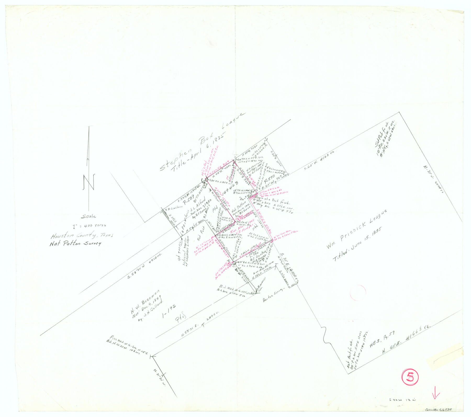
Houston County Working Sketch 5
-
Map/Doc
66235
-
Collection
General Map Collection
-
Counties
Houston
-
Subjects
Surveying Working Sketch
-
Height x Width
24.9 x 28.1 inches
63.3 x 71.4 cm
-
Scale
1" = 400 varas
Part of: General Map Collection
Red River County Rolled Sketch 9

Print $20.00
- Digital $50.00
Red River County Rolled Sketch 9
Size 27.1 x 18.1 inches
Map/Doc 7475
Archer County Sketch File 8a

Print $8.00
- Digital $50.00
Archer County Sketch File 8a
Size 8.8 x 7.1 inches
Map/Doc 13639
Liberty County Sketch File 36

Print $2.00
- Digital $50.00
Liberty County Sketch File 36
Size 9.4 x 9.0 inches
Map/Doc 29973
Travis County Appraisal District Plat Map 2_0404

Print $20.00
- Digital $50.00
Travis County Appraisal District Plat Map 2_0404
Size 20.5 x 24.1 inches
Map/Doc 94228
Flight Mission No. DQN-5K, Frame 52, Calhoun County

Print $20.00
- Digital $50.00
Flight Mission No. DQN-5K, Frame 52, Calhoun County
1953
Size 18.6 x 22.3 inches
Map/Doc 84397

Flight Mission No. CGI-1N, Frame 136, Cameron County

Print $20.00
- Digital $50.00
Flight Mission No. CGI-1N, Frame 136, Cameron County
1955
Size 17.2 x 18.5 inches
Map/Doc 84492
[Surveys near Quihi Creek]
![312, [Surveys near Quihi Creek], General Map Collection](https://historictexasmaps.com/wmedia_w700/maps/312.tif.jpg)
Print $2.00
- Digital $50.00
[Surveys near Quihi Creek]
1846
Size 11.0 x 8.0 inches
Map/Doc 312
Reagan County Sketch File 25

Print $20.00
- Digital $50.00
Reagan County Sketch File 25
1941
Size 18.1 x 23.9 inches
Map/Doc 12222
Culberson County Rolled Sketch 65

Print $20.00
- Digital $50.00
Culberson County Rolled Sketch 65
1987
Size 23.7 x 18.8 inches
Map/Doc 5681
Montague County Working Sketch 14

Print $20.00
- Digital $50.00
Montague County Working Sketch 14
1940
Size 28.4 x 17.9 inches
Map/Doc 71080
Glasscock County Sketch File 6

Print $6.00
- Digital $50.00
Glasscock County Sketch File 6
1929
Size 14.8 x 10.9 inches
Map/Doc 24164
You may also like
Plat Showing Part of Block Y, W. D. and F. W. Johnson Subdivision Number 2; and Part of Block W, Edward K. Warren Subdivision Number 1

Print $20.00
- Digital $50.00
Plat Showing Part of Block Y, W. D. and F. W. Johnson Subdivision Number 2; and Part of Block W, Edward K. Warren Subdivision Number 1
1954
Size 23.3 x 17.4 inches
Map/Doc 92502
Polk County Sketch File 13

Print $4.00
- Digital $50.00
Polk County Sketch File 13
Size 5.1 x 7.4 inches
Map/Doc 34150
Flight Mission No. DQO-2K, Frame 98, Galveston County

Print $20.00
- Digital $50.00
Flight Mission No. DQO-2K, Frame 98, Galveston County
1952
Size 18.9 x 22.4 inches
Map/Doc 85025
Lampasas County Boundary File 15

Print $14.00
- Digital $50.00
Lampasas County Boundary File 15
Size 8.8 x 6.6 inches
Map/Doc 56203
Taylor County Sketch File 23

Print $19.00
- Digital $50.00
Taylor County Sketch File 23
2005
Size 11.0 x 8.5 inches
Map/Doc 87114
Galveston, Trinity, and Turtle Bays and Portions of San Jacinto and East Bays in Chambers and Galveston Counties, showing Subdivision for Mineral Development

Print $20.00
- Digital $50.00
Galveston, Trinity, and Turtle Bays and Portions of San Jacinto and East Bays in Chambers and Galveston Counties, showing Subdivision for Mineral Development
1978
Size 46.0 x 43.9 inches
Map/Doc 1905
Fractional Township No. 7 South Range No 3 West of the Indian Meridian, Indian Territory

Print $20.00
- Digital $50.00
Fractional Township No. 7 South Range No 3 West of the Indian Meridian, Indian Territory
1898
Size 19.2 x 24.5 inches
Map/Doc 75193
General Land Office Reference Book: Burnet's, Vehlein's, Zavala's, Robertson's Colonies in Texas

General Land Office Reference Book: Burnet's, Vehlein's, Zavala's, Robertson's Colonies in Texas
Map/Doc 94555
Haskell County Rolled Sketch 16

Print $20.00
- Digital $50.00
Haskell County Rolled Sketch 16
1991
Size 45.3 x 39.4 inches
Map/Doc 9148
Deaf Smith County Working Sketch 4

Print $40.00
- Digital $50.00
Deaf Smith County Working Sketch 4
1983
Size 37.0 x 52.4 inches
Map/Doc 68644
Crockett County Rolled Sketch 88J

Print $40.00
- Digital $50.00
Crockett County Rolled Sketch 88J
1973
Size 42.7 x 57.4 inches
Map/Doc 8734
Rockwall County Boundary File 8

Print $10.00
- Digital $50.00
Rockwall County Boundary File 8
Size 14.4 x 8.8 inches
Map/Doc 58428