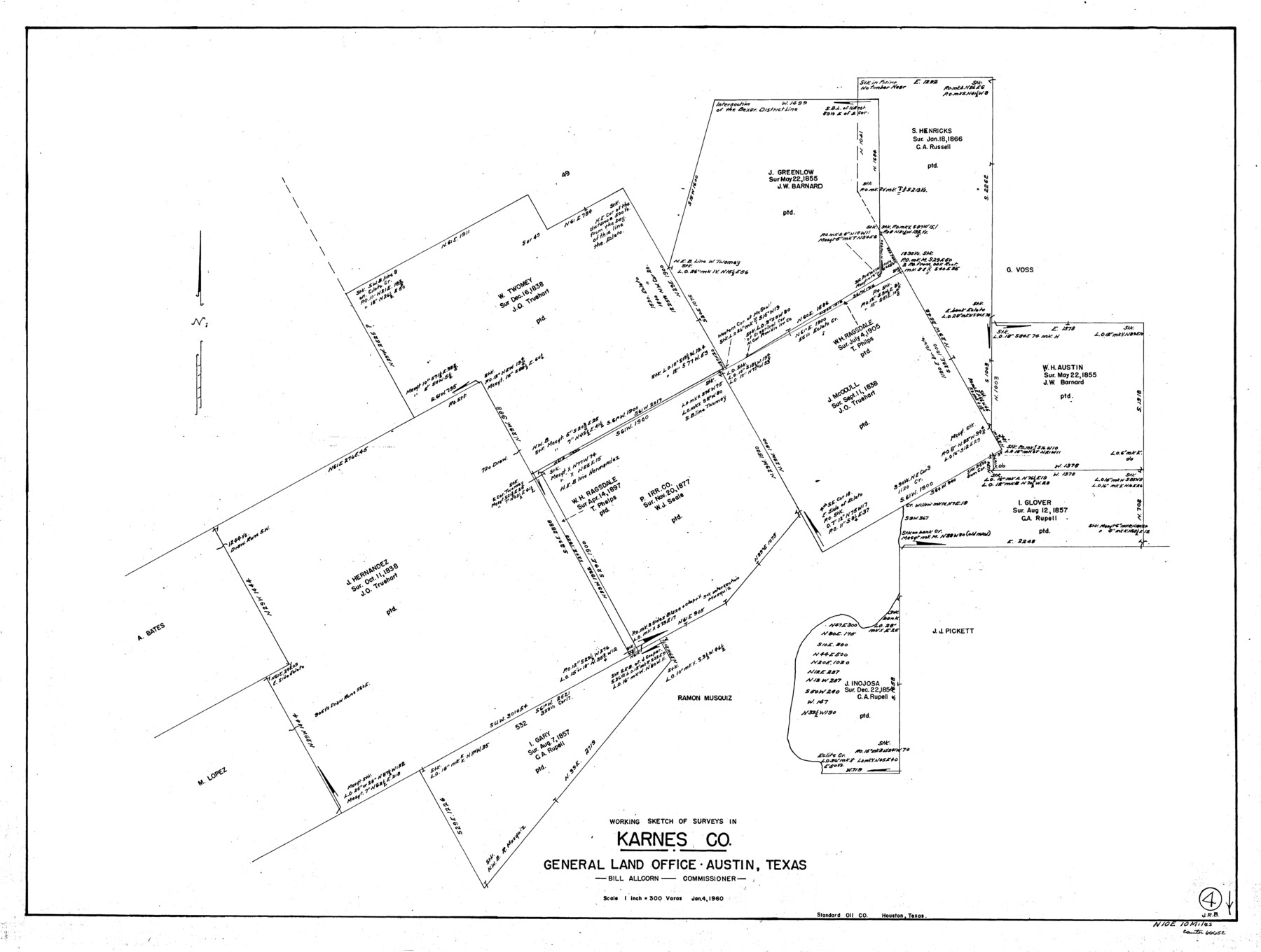
Karnes County Working Sketch 4
-
Map/Doc
66652
-
Collection
General Map Collection
-
Object Dates
1/4/1960 (Creation Date)
-
Counties
Karnes
-
Subjects
Surveying Working Sketch
-
Height x Width
29.3 x 38.8 inches
74.4 x 98.6 cm
-
Scale
1" = 300 varas
Part of: General Map Collection
Cottle County Working Sketch 8

Print $20.00
- Digital $50.00
Cottle County Working Sketch 8
1917
Size 26.9 x 29.7 inches
Map/Doc 68318
Dimmit County Boundary File 2

Print $4.00
- Digital $50.00
Dimmit County Boundary File 2
Size 10.0 x 7.9 inches
Map/Doc 52564
Jefferson County Rolled Sketch 37

Print $20.00
- Digital $50.00
Jefferson County Rolled Sketch 37
1957
Size 36.4 x 30.1 inches
Map/Doc 6396
Map of the City of Washington showing location of fatal cases of Diphtheria and Scarlet Fever; also number of cases thereof reported to the Health Department during the year ending June 30, 1896

Print $20.00
- Digital $50.00
Map of the City of Washington showing location of fatal cases of Diphtheria and Scarlet Fever; also number of cases thereof reported to the Health Department during the year ending June 30, 1896
1896
Size 30.0 x 29.4 inches
Map/Doc 97103
General Homes Free Houston Area Map

General Homes Free Houston Area Map
Size 27.3 x 42.5 inches
Map/Doc 94394
Wood County Boundary File 2

Print $8.00
- Digital $50.00
Wood County Boundary File 2
Size 8.4 x 7.1 inches
Map/Doc 60155
Taylor County Rolled Sketch 25

Print $20.00
- Digital $50.00
Taylor County Rolled Sketch 25
1962
Size 27.1 x 46.0 inches
Map/Doc 7917


Uvalde County Working Sketch 27

Print $20.00
- Digital $50.00
Uvalde County Working Sketch 27
1957
Size 24.4 x 25.7 inches
Map/Doc 72097
Brewster County Rolled Sketch 75

Print $20.00
- Digital $50.00
Brewster County Rolled Sketch 75
1941
Size 31.5 x 36.9 inches
Map/Doc 8492

You may also like
Liberty County Sketch File 33

Print $4.00
- Digital $50.00
Liberty County Sketch File 33
Size 10.7 x 7.8 inches
Map/Doc 29967
Right-of-Way and Track Map, Texas State Railroad operated by the T. and N.O. R.R. Co.

Print $40.00
- Digital $50.00
Right-of-Way and Track Map, Texas State Railroad operated by the T. and N.O. R.R. Co.
1917
Size 25.2 x 56.1 inches
Map/Doc 64171
[E. L. & R. R. Block E, Showing Mound Lake]
![91335, [E. L. & R. R. Block E, Showing Mound Lake], Twichell Survey Records](https://historictexasmaps.com/wmedia_w700/maps/91335-1.tif.jpg)
Print $2.00
- Digital $50.00
[E. L. & R. R. Block E, Showing Mound Lake]
Size 14.8 x 6.3 inches
Map/Doc 91335
Map of Spearman Lands

Print $20.00
- Digital $50.00
Map of Spearman Lands
Size 20.1 x 15.3 inches
Map/Doc 90791
Organizations for the Development of Texas Rivers

Print $20.00
Organizations for the Development of Texas Rivers
1938
Size 34.4 x 44.8 inches
Map/Doc 76307
Guadalupe County Working Sketch 4

Print $20.00
- Digital $50.00
Guadalupe County Working Sketch 4
1939
Size 17.7 x 10.8 inches
Map/Doc 63313
Presidio County Working Sketch 126

Print $20.00
- Digital $50.00
Presidio County Working Sketch 126
1987
Size 36.9 x 46.5 inches
Map/Doc 71804
Harris County Sketch File 84

Print $20.00
- Digital $50.00
Harris County Sketch File 84
1950
Size 23.1 x 35.7 inches
Map/Doc 11672
Subdivision of the C.C. Slaughter Block No. 1, League 101 & part of League 102, Jeff Davis Co. School Land, part of League 100, Brewster Co. School Land and League 118 & part of Leagues 117 & 119, Knox Co. School Land

Print $20.00
- Digital $50.00
Subdivision of the C.C. Slaughter Block No. 1, League 101 & part of League 102, Jeff Davis Co. School Land, part of League 100, Brewster Co. School Land and League 118 & part of Leagues 117 & 119, Knox Co. School Land
1926
Size 18.8 x 19.4 inches
Map/Doc 90459
Report of the Superintendent of the Coast Survey showing the progress of the survey during the year 1852

Report of the Superintendent of the Coast Survey showing the progress of the survey during the year 1852
1853
Map/Doc 81738
Burnet County Boundary File 5

Print $16.00
- Digital $50.00
Burnet County Boundary File 5
Size 12.7 x 7.9 inches
Map/Doc 50878
Wellman Situated on Parts of the Northeast 1/4 and Northwest 1/4 Section 17, Block DD

Print $20.00
- Digital $50.00
Wellman Situated on Parts of the Northeast 1/4 and Northwest 1/4 Section 17, Block DD
Size 22.2 x 18.9 inches
Map/Doc 92930