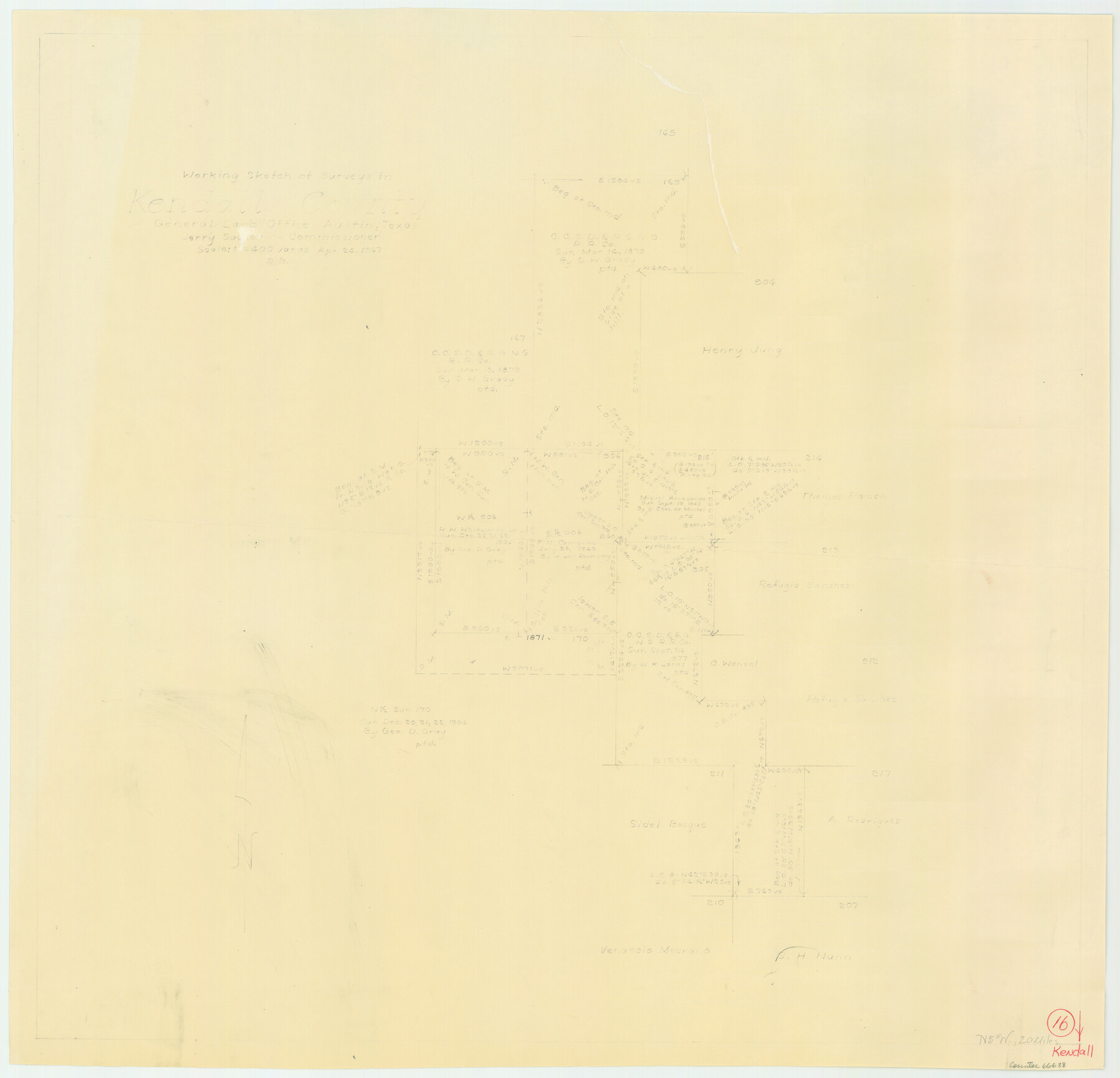
Kendall County Working Sketch 16
-
Map/Doc
66688
-
Collection
General Map Collection
-
Object Dates
4/24/1967 (Creation Date)
-
People and Organizations
Roy Buckholts (Draftsman)
-
Counties
Kendall
-
Subjects
Surveying Working Sketch
-
Height x Width
28.0 x 29.1 inches
71.1 x 73.9 cm
-
Scale
1" = 400 varas
Part of: General Map Collection
Plat of Re-survey Section 8, Block 66 1/2, Public School Land

Print $20.00
- Digital $50.00
Plat of Re-survey Section 8, Block 66 1/2, Public School Land
1972
Size 15.9 x 38.8 inches
Map/Doc 2080
Sutton County Working Sketch 55

Print $20.00
- Digital $50.00
Sutton County Working Sketch 55
1957
Size 42.2 x 28.7 inches
Map/Doc 62398
Liberty County Working Sketch 71

Print $20.00
- Digital $50.00
Liberty County Working Sketch 71
1977
Size 37.3 x 31.8 inches
Map/Doc 70531
Travis County Sketch File 62

Print $20.00
- Digital $50.00
Travis County Sketch File 62
1929
Size 20.6 x 18.2 inches
Map/Doc 12473
Kendall County Working Sketch 21

Print $20.00
- Digital $50.00
Kendall County Working Sketch 21
1970
Size 44.7 x 23.8 inches
Map/Doc 66693
Williamson County Sketch File 14

Print $6.00
- Digital $50.00
Williamson County Sketch File 14
1871
Size 9.4 x 15.4 inches
Map/Doc 40332
Frio County Sketch File 19

Print $20.00
- Digital $50.00
Frio County Sketch File 19
1963
Size 14.7 x 30.6 inches
Map/Doc 11519
Concho County Working Sketch 6

Print $20.00
- Digital $50.00
Concho County Working Sketch 6
1948
Size 47.3 x 43.2 inches
Map/Doc 68188
Flight Mission No. CRK-8P, Frame 107, Refugio County

Print $20.00
- Digital $50.00
Flight Mission No. CRK-8P, Frame 107, Refugio County
1956
Size 18.4 x 22.0 inches
Map/Doc 86968
Flight Mission No. CRC-3R, Frame 55, Chambers County

Print $20.00
- Digital $50.00
Flight Mission No. CRC-3R, Frame 55, Chambers County
1956
Size 18.6 x 22.4 inches
Map/Doc 84827
Right of Way and Track Map of The Missouri, Kansas & Texas Railway of Texas

Print $40.00
- Digital $50.00
Right of Way and Track Map of The Missouri, Kansas & Texas Railway of Texas
1918
Size 24.4 x 50.7 inches
Map/Doc 64538
McMullen County Working Sketch 9

Print $40.00
- Digital $50.00
McMullen County Working Sketch 9
1937
Size 58.8 x 36.9 inches
Map/Doc 70710
You may also like
Brewster County Rolled Sketch 87

Print $40.00
- Digital $50.00
Brewster County Rolled Sketch 87
1947
Size 130.7 x 40.4 inches
Map/Doc 8497
Zavala County Sketch File 15

Print $20.00
- Digital $50.00
Zavala County Sketch File 15
Size 23.3 x 22.3 inches
Map/Doc 12729
Flight Mission No. DAG-17K, Frame 136, Matagorda County

Print $20.00
- Digital $50.00
Flight Mission No. DAG-17K, Frame 136, Matagorda County
1952
Size 18.5 x 22.3 inches
Map/Doc 86353
Sterling County Working Sketch 6

Print $40.00
- Digital $50.00
Sterling County Working Sketch 6
1955
Size 38.1 x 121.6 inches
Map/Doc 63988
General Highway Map, Duval County, Texas

Print $20.00
General Highway Map, Duval County, Texas
1961
Size 18.1 x 24.6 inches
Map/Doc 79448
Leon County Sketch File 2

Print $4.00
- Digital $50.00
Leon County Sketch File 2
1852
Size 8.1 x 5.1 inches
Map/Doc 29711
[T. & P. Blocks 35 and 36, Townships 1N - 5N]
![93136, [T. & P. Blocks 35 and 36, Townships 1N - 5N], Twichell Survey Records](https://historictexasmaps.com/wmedia_w700/maps/93136-1.tif.jpg)
Print $40.00
- Digital $50.00
[T. & P. Blocks 35 and 36, Townships 1N - 5N]
Size 35.3 x 91.0 inches
Map/Doc 93136
Hutchinson County Rolled Sketch 36A

Print $20.00
- Digital $50.00
Hutchinson County Rolled Sketch 36A
1888
Size 21.3 x 25.0 inches
Map/Doc 6294
Andrews County Rolled Sketch 6

Print $40.00
- Digital $50.00
Andrews County Rolled Sketch 6
1928
Size 43.9 x 56.9 inches
Map/Doc 8363
Brazoria County State Real Property Sketch 2

Print $60.00
- Digital $50.00
Brazoria County State Real Property Sketch 2
2003
Size 31.0 x 42.9 inches
Map/Doc 83356
[Map of Lynn County]
![4586, [Map of Lynn County], General Map Collection](https://historictexasmaps.com/wmedia_w700/maps/4586-1.tif.jpg)
Print $20.00
- Digital $50.00
[Map of Lynn County]
Size 22.4 x 17.8 inches
Map/Doc 4586
Kleberg County Rolled Sketch 10

Print $20.00
- Digital $50.00
Kleberg County Rolled Sketch 10
1952
Size 42.8 x 37.3 inches
Map/Doc 9397