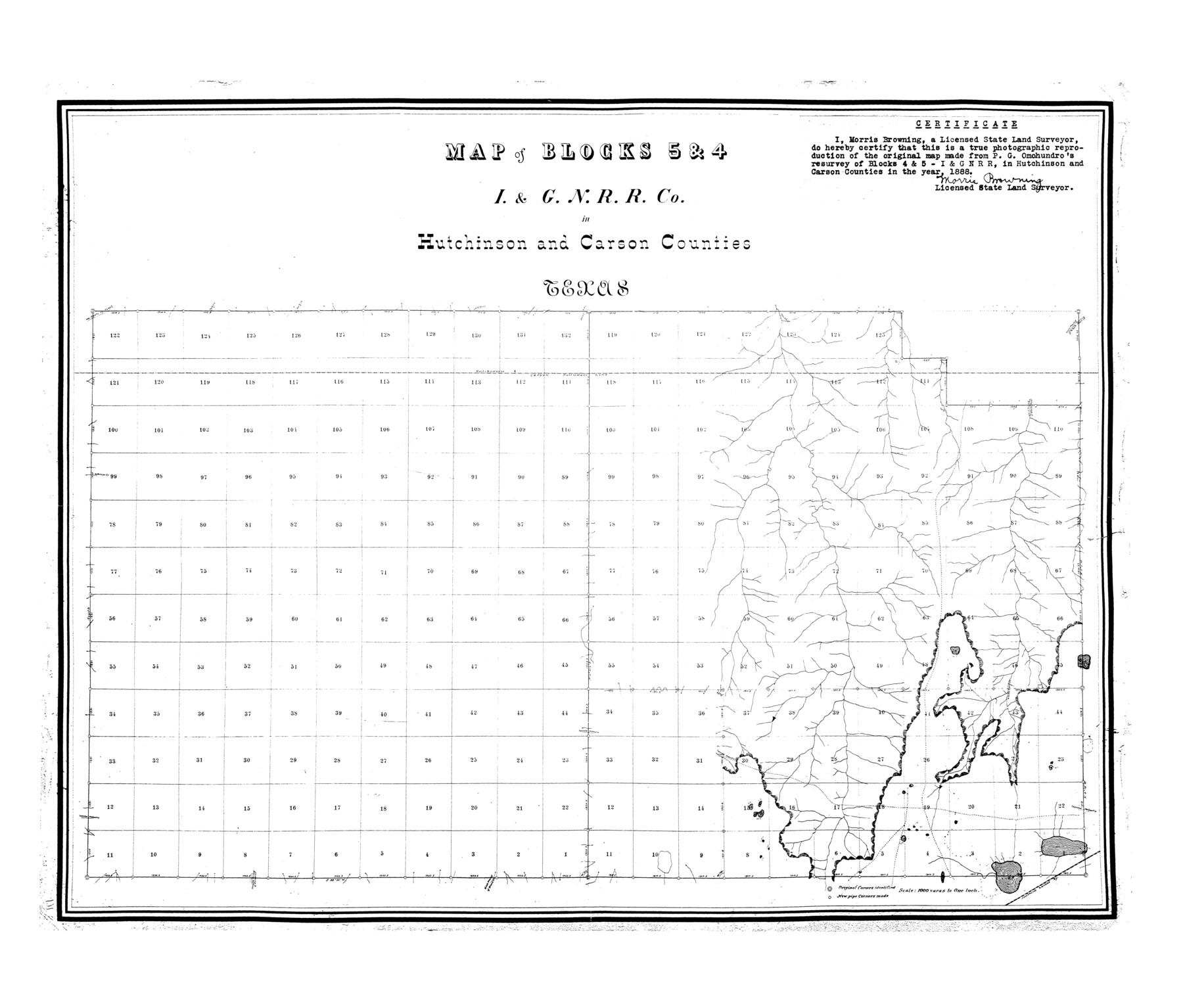
Hutchinson County Rolled Sketch 36A
Map of Blocks 5 & 4, I. & G. N. R.R. Co. in Hutchinson and Carson Counties
-
Map/Doc
6294
-
Collection
General Map Collection
-
Object Dates
1888 (Creation Date)
1941/2/7 (File Date)
-
People and Organizations
P.G. Omohundro (Surveyor/Engineer)
Morris Browning (Surveyor/Engineer)
-
Counties
Hutchinson Carson
-
Subjects
Surveying Rolled Sketch
-
Height x Width
21.3 x 25.0 inches
54.1 x 63.5 cm
-
Medium
photostat
-
Scale
1" = 1000 varas
Part of: General Map Collection
Wilbarger County Working Sketch 16

Print $20.00
- Digital $50.00
Wilbarger County Working Sketch 16
1955
Size 32.7 x 19.9 inches
Map/Doc 72554

Bastrop County Boundary File 4

Print $48.00
- Digital $50.00
Bastrop County Boundary File 4
1925
Size 11.2 x 8.7 inches
Map/Doc 50324
Schleicher County Working Sketch 1

Print $20.00
- Digital $50.00
Schleicher County Working Sketch 1
1902
Size 14.8 x 17.4 inches
Map/Doc 63803
Sulphur River, Ringo Crossing Sheet

Print $20.00
- Digital $50.00
Sulphur River, Ringo Crossing Sheet
1933
Size 30.5 x 35.9 inches
Map/Doc 65162
Flight Mission No. DQO-8K, Frame 39, Galveston County

Print $20.00
- Digital $50.00
Flight Mission No. DQO-8K, Frame 39, Galveston County
1952
Size 18.7 x 22.4 inches
Map/Doc 85146
Fisher County Sketch File 22

Print $12.00
- Digital $50.00
Fisher County Sketch File 22
Size 11.4 x 8.8 inches
Map/Doc 22651
Presidio County Sketch File 29

Print $20.00
- Digital $50.00
Presidio County Sketch File 29
1890
Size 29.7 x 20.1 inches
Map/Doc 11711
Knox County Working Sketch 1

Print $20.00
- Digital $50.00
Knox County Working Sketch 1
1899
Size 32.7 x 25.4 inches
Map/Doc 70243
Flight Mission No. CUG-1P, Frame 106, Kleberg County

Print $20.00
- Digital $50.00
Flight Mission No. CUG-1P, Frame 106, Kleberg County
1956
Size 18.8 x 22.3 inches
Map/Doc 86156
Ochiltree County Sketch File 6

Print $20.00
- Digital $50.00
Ochiltree County Sketch File 6
1930
Size 9.5 x 32.7 inches
Map/Doc 42203
Wilbarger County Rolled Sketch 2

Print $40.00
- Digital $50.00
Wilbarger County Rolled Sketch 2
Size 36.7 x 49.6 inches
Map/Doc 10140
You may also like
Right of Way Track Map, Wichita Falls & Southern Railroad Company

Print $40.00
- Digital $50.00
Right of Way Track Map, Wichita Falls & Southern Railroad Company
1942
Size 24.5 x 56.1 inches
Map/Doc 64514
[H. & G. N. Block 1]
![90940, [H. & G. N. Block 1], Twichell Survey Records](https://historictexasmaps.com/wmedia_w700/maps/90940-1.tif.jpg)
Print $20.00
- Digital $50.00
[H. & G. N. Block 1]
1873
Size 17.3 x 14.2 inches
Map/Doc 90940
Sutton County Sketch File 58

Print $9.00
- Digital $50.00
Sutton County Sketch File 58
1964
Size 15.7 x 9.9 inches
Map/Doc 37554
Cherokee County Boundary File 1

Print $34.00
- Digital $50.00
Cherokee County Boundary File 1
Size 14.2 x 8.7 inches
Map/Doc 51272
Irion County Rolled Sketch 6

Print $20.00
- Digital $50.00
Irion County Rolled Sketch 6
Size 23.6 x 39.9 inches
Map/Doc 6320
Val Verde County Working Sketch 69

Print $20.00
- Digital $50.00
Val Verde County Working Sketch 69
1965
Size 35.6 x 37.3 inches
Map/Doc 72204
Pecos County Sketch File 86

Print $22.00
- Digital $50.00
Pecos County Sketch File 86
1917
Size 13.4 x 9.0 inches
Map/Doc 33964
Cameron County Rolled Sketch 28C

Print $20.00
- Digital $50.00
Cameron County Rolled Sketch 28C
Size 20.3 x 16.3 inches
Map/Doc 5393
Sabine County Sketch File 3

Print $2.00
Sabine County Sketch File 3
1874
Size 12.7 x 8.0 inches
Map/Doc 35604
Duval County Rolled Sketch 37

Print $20.00
- Digital $50.00
Duval County Rolled Sketch 37
1952
Size 29.2 x 24.6 inches
Map/Doc 5753
Dawson County Boundary File 3 (1)

Print $40.00
- Digital $50.00
Dawson County Boundary File 3 (1)
Size 11.1 x 35.8 inches
Map/Doc 52365
Crosby County Working Sketch 11

Print $20.00
- Digital $50.00
Crosby County Working Sketch 11
1947
Size 23.7 x 22.8 inches
Map/Doc 68445