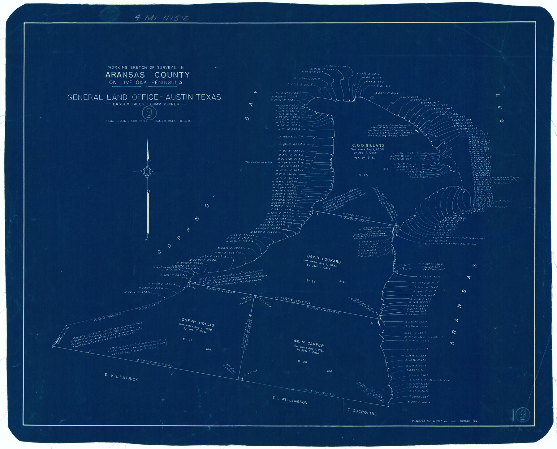
Aransas County Working Sketch 9
-
Map/Doc
67176
-
Collection
General Map Collection
-
Object Dates
9/20/1947 (Creation Date)
-
People and Organizations
Bascom Giles (GLO Commissioner)
Otto G. Kurio (Draftsman)
-
Counties
Aransas
-
Subjects
Surveying Working Sketch
-
Height x Width
22.5 x 28.0 inches
57.2 x 71.1 cm
-
Scale
1" = 500 varas
-
Comments
Surveys located about four miles North 15 degrees East of Rockport, Texas.
Part of: General Map Collection
Amistad International Reservoir on Rio Grande 98

Print $20.00
- Digital $50.00
Amistad International Reservoir on Rio Grande 98
1950
Size 28.5 x 40.9 inches
Map/Doc 75529
Travis Station Map - Tracks and Structures - Lands San Antonio and Aransas Pass Railway Co.

Print $4.00
- Digital $50.00
Travis Station Map - Tracks and Structures - Lands San Antonio and Aransas Pass Railway Co.
1919
Size 11.7 x 18.5 inches
Map/Doc 62563
Presidio de San Antonio de Bejar

Presidio de San Antonio de Bejar
2006
Size 10.8 x 16.9 inches
Map/Doc 87385
La Salle County Rolled Sketch 8

Print $20.00
- Digital $50.00
La Salle County Rolled Sketch 8
Size 21.4 x 43.9 inches
Map/Doc 6571
Webb County Working Sketch 80

Print $40.00
- Digital $50.00
Webb County Working Sketch 80
1979
Size 43.0 x 97.9 inches
Map/Doc 72447

Aransas County Sketch File 2a

Print $4.00
- Digital $50.00
Aransas County Sketch File 2a
1868
Size 9.3 x 7.7 inches
Map/Doc 13102
Le Nouveau Mexique avec la partie Septentrionale de l'Ancien ou de la Nouvelle Espagne

Print $20.00
- Digital $50.00
Le Nouveau Mexique avec la partie Septentrionale de l'Ancien ou de la Nouvelle Espagne
1780
Size 10.0 x 14.4 inches
Map/Doc 97277
Chambers County Rolled Sketch 30

Print $20.00
- Digital $50.00
Chambers County Rolled Sketch 30
1952
Size 26.8 x 37.8 inches
Map/Doc 5431
Crosby County Sketch File 12a

Print $20.00
- Digital $50.00
Crosby County Sketch File 12a
1901
Size 21.5 x 30.9 inches
Map/Doc 11248
Flight Mission No. BRA-8M, Frame 122, Jefferson County

Print $20.00
- Digital $50.00
Flight Mission No. BRA-8M, Frame 122, Jefferson County
1953
Size 18.5 x 22.4 inches
Map/Doc 85618
Colorado County Working Sketch 35

Print $20.00
- Digital $50.00
Colorado County Working Sketch 35
Size 19.8 x 15.8 inches
Map/Doc 76065
You may also like
Supreme Court of the United States, October Term, 1924, No. 13, Original - The State of Oklahoma, Complainant vs. The State of Texas, Defendant, The United States, Intervener

Print $20.00
- Digital $50.00
Supreme Court of the United States, October Term, 1924, No. 13, Original - The State of Oklahoma, Complainant vs. The State of Texas, Defendant, The United States, Intervener
1924
Size 32.0 x 32.8 inches
Map/Doc 75132
The Mexican Department of Bexar. Created, 1827

Print $20.00
The Mexican Department of Bexar. Created, 1827
2020
Size 16.6 x 21.7 inches
Map/Doc 95967
Bowie County Working Sketch 7

Print $20.00
- Digital $50.00
Bowie County Working Sketch 7
1933
Size 25.1 x 12.7 inches
Map/Doc 67411
Gray County Sketch File 10

Print $14.00
- Digital $50.00
Gray County Sketch File 10
Size 9.7 x 6.3 inches
Map/Doc 24445
Sketch in Gray County

Print $3.00
- Digital $50.00
Sketch in Gray County
1899
Size 10.2 x 11.6 inches
Map/Doc 90659
Galveston County Sketch File 9

Print $6.00
- Digital $50.00
Galveston County Sketch File 9
1866
Size 10.1 x 8.1 inches
Map/Doc 23369

McLennan County Sketch File 8

Print $14.00
- Digital $50.00
McLennan County Sketch File 8
1858
Size 12.4 x 7.7 inches
Map/Doc 31251
Harlem State Farm, East Tract

Print $3.00
- Digital $50.00
Harlem State Farm, East Tract
Size 15.6 x 11.9 inches
Map/Doc 62983

Throckmorton County Working Sketch 9

Print $20.00
- Digital $50.00
Throckmorton County Working Sketch 9
1963
Size 25.2 x 35.8 inches
Map/Doc 62118
Map of the Fair Grounds Addition showing subdivisions of Out-lots 39, 49, 50 & 60, Division "O" in the City of Austin

Print $20.00
- Digital $50.00
Map of the Fair Grounds Addition showing subdivisions of Out-lots 39, 49, 50 & 60, Division "O" in the City of Austin
1909
Size 21.4 x 13.3 inches
Map/Doc 2022