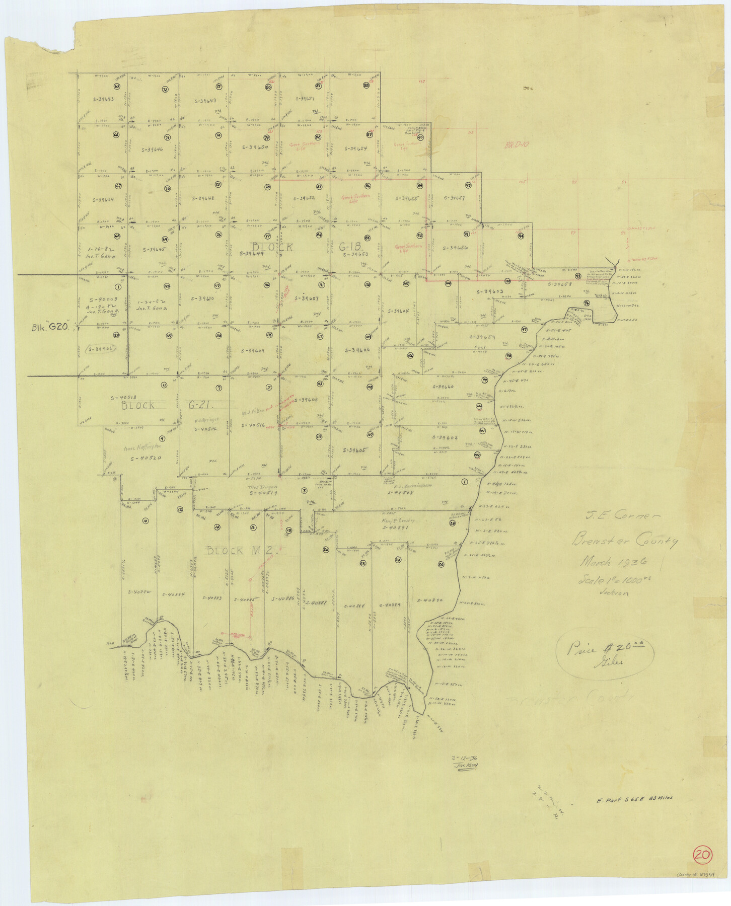
Brewster County Working Sketch 20
-
Map/Doc
67554
-
Collection
General Map Collection
-
Object Dates
3/1936 (Creation Date)
-
Counties
Brewster
-
Subjects
Surveying Working Sketch
-
Height x Width
34.0 x 27.5 inches
86.4 x 69.9 cm
-
Scale
1" = 1000 varas
Part of: General Map Collection
Andrews County Rolled Sketch 31

Print $20.00
- Digital $50.00
Andrews County Rolled Sketch 31
Size 18.3 x 19.9 inches
Map/Doc 77175
Wise County Working Sketch 21

Print $20.00
- Digital $50.00
Wise County Working Sketch 21
1980
Size 25.9 x 32.4 inches
Map/Doc 72635
Crane County Rolled Sketch 21

Print $20.00
- Digital $50.00
Crane County Rolled Sketch 21
1988
Size 42.5 x 36.6 inches
Map/Doc 8685
Crockett County Sketch File HH

Print $38.00
- Digital $50.00
Crockett County Sketch File HH
Size 13.8 x 8.9 inches
Map/Doc 19641
Stonewall County Working Sketch 33

Print $40.00
- Digital $50.00
Stonewall County Working Sketch 33
1984
Size 70.4 x 42.8 inches
Map/Doc 62340
Flight Mission No. DQN-2K, Frame 164, Calhoun County

Print $20.00
- Digital $50.00
Flight Mission No. DQN-2K, Frame 164, Calhoun County
1953
Size 18.7 x 22.5 inches
Map/Doc 84326
Flight Mission No. CRC-4R, Frame 105, Chambers County

Print $20.00
- Digital $50.00
Flight Mission No. CRC-4R, Frame 105, Chambers County
1956
Size 18.8 x 22.4 inches
Map/Doc 84902
Erath County Sketch File 14

Print $4.00
- Digital $50.00
Erath County Sketch File 14
1872
Size 13.0 x 8.5 inches
Map/Doc 22290
Archer County Rolled Sketch 10

Print $20.00
- Digital $50.00
Archer County Rolled Sketch 10
2012
Size 19.2 x 24.6 inches
Map/Doc 93326

Hunt County Sketch File 2

Print $4.00
- Digital $50.00
Hunt County Sketch File 2
1857
Size 10.1 x 7.8 inches
Map/Doc 27083
Crockett County Working Sketch 16

Print $20.00
- Digital $50.00
Crockett County Working Sketch 16
1917
Size 24.0 x 29.0 inches
Map/Doc 68349
You may also like
Map of Nacogdoches County

Print $20.00
- Digital $50.00
Map of Nacogdoches County
1846
Size 44.7 x 40.0 inches
Map/Doc 87355
Hudspeth County Rolled Sketch 60

Print $20.00
- Digital $50.00
Hudspeth County Rolled Sketch 60
1982
Size 43.4 x 44.4 inches
Map/Doc 9225
Flight Mission No. DQO-2K, Frame 87, Galveston County

Print $20.00
- Digital $50.00
Flight Mission No. DQO-2K, Frame 87, Galveston County
1952
Size 18.7 x 22.5 inches
Map/Doc 85014
Comanche County

Print $20.00
- Digital $50.00
Comanche County
1944
Size 42.2 x 46.9 inches
Map/Doc 1807
Tyler County Working Sketch 21

Print $20.00
- Digital $50.00
Tyler County Working Sketch 21
1985
Size 21.1 x 21.0 inches
Map/Doc 69491
General Highway Map, McLennan County, Texas

Print $20.00
General Highway Map, McLennan County, Texas
1940
Size 18.3 x 24.6 inches
Map/Doc 79191
La Salle County Sketch File 34

Print $6.00
- Digital $50.00
La Salle County Sketch File 34
Size 15.8 x 9.5 inches
Map/Doc 29585
Survey of 77 Blocks, State University Land

Survey of 77 Blocks, State University Land
1884
Size 13.5 x 8.5 inches
Map/Doc 81693
Carte de la Nouvelle France ou le voit le cours des Grandes Rivieres de S. Laurens & de Mississipi

Print $20.00
- Digital $50.00
Carte de la Nouvelle France ou le voit le cours des Grandes Rivieres de S. Laurens & de Mississipi
1720
Size 25.9 x 41.5 inches
Map/Doc 93822
Blocks No. 8, 9 & 10 Houston & Great Northern Rail Road Company Surveys in Pecos County, Texas

Print $20.00
- Digital $50.00
Blocks No. 8, 9 & 10 Houston & Great Northern Rail Road Company Surveys in Pecos County, Texas
1891
Size 24.5 x 38.7 inches
Map/Doc 3955
Rio Grande, Harlingen Sheet

Print $20.00
- Digital $50.00
Rio Grande, Harlingen Sheet
1935
Size 37.2 x 37.2 inches
Map/Doc 65113
Matagorda Bay and Approaches

Print $20.00
- Digital $50.00
Matagorda Bay and Approaches
1974
Size 35.1 x 44.6 inches
Map/Doc 73386