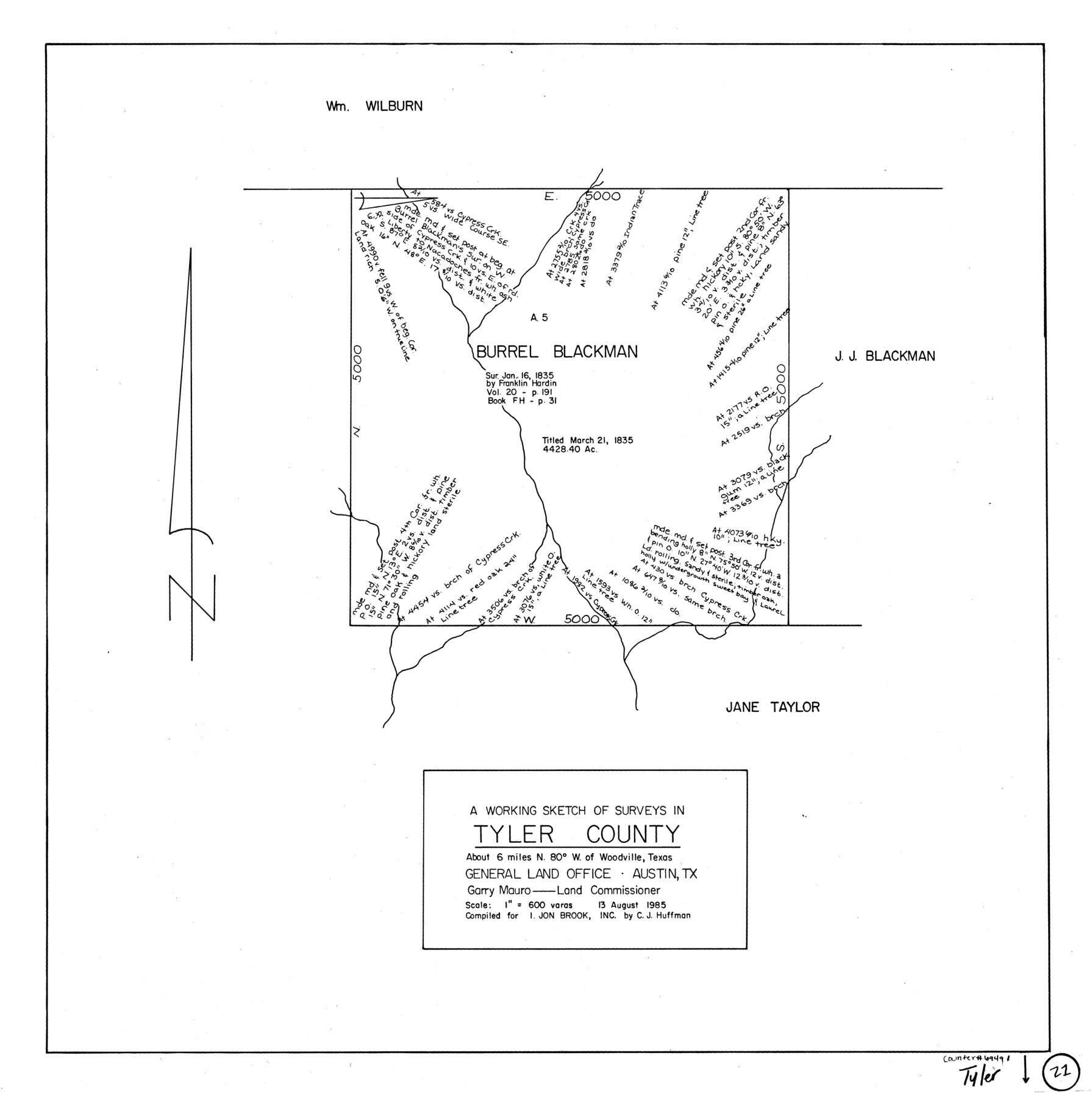
Tyler County Working Sketch 21
-
Map/Doc
69491
-
Collection
General Map Collection
-
Object Dates
8/13/1985 (Creation Date)
-
People and Organizations
C.J. Huffman (Draftsman)
-
Counties
Tyler
-
Subjects
Surveying Working Sketch
-
Height x Width
21.1 x 21.0 inches
53.6 x 53.3 cm
-
Scale
1" = 600 varas
Part of: General Map Collection
Chambers County Sketch File 43

Print $13.00
- Digital $50.00
Chambers County Sketch File 43
Size 14.3 x 9.6 inches
Map/Doc 17729
DeWitt County Working Sketch 7

Print $20.00
- Digital $50.00
DeWitt County Working Sketch 7
1977
Size 19.0 x 21.2 inches
Map/Doc 68597
Flight Mission No. CGI-3N, Frame 71, Cameron County

Print $20.00
- Digital $50.00
Flight Mission No. CGI-3N, Frame 71, Cameron County
1954
Size 18.4 x 22.3 inches
Map/Doc 84565
Controlled Mosaic by Jack Amman Photogrammetric Engineers, Inc - Sheet 41

Print $20.00
- Digital $50.00
Controlled Mosaic by Jack Amman Photogrammetric Engineers, Inc - Sheet 41
1954
Size 20.0 x 24.0 inches
Map/Doc 83496
Carson County Boundary File 7

Print $64.00
- Digital $50.00
Carson County Boundary File 7
Size 9.3 x 6.9 inches
Map/Doc 51157
Trinity River, Boyd Crossing Sheet/Chambers Creek

Print $20.00
- Digital $50.00
Trinity River, Boyd Crossing Sheet/Chambers Creek
1931
Size 17.5 x 43.1 inches
Map/Doc 65238
Map of New Brunswick and Nova Scotia / Map of Newfoundland / Map of the West Indies, Guatimala and part of Mexico to illustrate Olney's school geography

Print $20.00
- Digital $50.00
Map of New Brunswick and Nova Scotia / Map of Newfoundland / Map of the West Indies, Guatimala and part of Mexico to illustrate Olney's school geography
1844
Size 9.5 x 12.1 inches
Map/Doc 93544

Knox County Sketch File 19

Print $42.00
- Digital $50.00
Knox County Sketch File 19
Size 38.4 x 11.0 inches
Map/Doc 11961
Marion County Working Sketch 27

Print $20.00
- Digital $50.00
Marion County Working Sketch 27
1971
Size 44.8 x 41.0 inches
Map/Doc 70803
Red River County Sketch File 24

Print $6.00
- Digital $50.00
Red River County Sketch File 24
1920
Size 11.4 x 8.8 inches
Map/Doc 35158
[F. W. & D. C. Ry. Co. Alignment and Right of Way Map, Clay County]
![64732, [F. W. & D. C. Ry. Co. Alignment and Right of Way Map, Clay County], General Map Collection](https://historictexasmaps.com/wmedia_w700/maps/64732-GC.tif.jpg)
Print $20.00
- Digital $50.00
[F. W. & D. C. Ry. Co. Alignment and Right of Way Map, Clay County]
1927
Size 18.6 x 11.8 inches
Map/Doc 64732
You may also like
Flight Mission No. DQO-8K, Frame 84, Galveston County

Print $20.00
- Digital $50.00
Flight Mission No. DQO-8K, Frame 84, Galveston County
1952
Size 18.6 x 22.5 inches
Map/Doc 85186
Traveller's Map of the State of Texas

Print $20.00
- Digital $50.00
Traveller's Map of the State of Texas
1867
Size 40.6 x 38.2 inches
Map/Doc 4327
Angelina County Sketch File 26

Print $40.00
- Digital $50.00
Angelina County Sketch File 26
1909
Size 18.0 x 23.0 inches
Map/Doc 10817
Maps of Gulf Intracoastal Waterway, Texas - Sabine River to the Rio Grande and connecting waterways including ship channels

Print $20.00
- Digital $50.00
Maps of Gulf Intracoastal Waterway, Texas - Sabine River to the Rio Grande and connecting waterways including ship channels
1966
Size 15.7 x 22.0 inches
Map/Doc 61986
Coke County Sketch File 13a

Print $20.00
- Digital $50.00
Coke County Sketch File 13a
Size 20.3 x 19.5 inches
Map/Doc 11107
Yellow Fever Deaths in the United States

Yellow Fever Deaths in the United States
2022
Size 8.5 x 11.0 inches
Map/Doc 97093
Map Showing Corrections for Capitol Leagues in Conflict in Oldham Co.

Print $40.00
- Digital $50.00
Map Showing Corrections for Capitol Leagues in Conflict in Oldham Co.
Size 53.0 x 32.4 inches
Map/Doc 89798
Kerr County Sketch File 2

Print $8.00
- Digital $50.00
Kerr County Sketch File 2
1859
Size 10.5 x 7.5 inches
Map/Doc 28856

Flight Mission No. DQO-8K, Frame 90, Galveston County

Print $20.00
- Digital $50.00
Flight Mission No. DQO-8K, Frame 90, Galveston County
1952
Size 17.9 x 22.3 inches
Map/Doc 85192
Armstrong County

Print $20.00
- Digital $50.00
Armstrong County
1933
Size 39.3 x 39.4 inches
Map/Doc 77203
Angelina County Sketch File 15g

Print $4.00
- Digital $50.00
Angelina County Sketch File 15g
1882
Size 10.9 x 8.4 inches
Map/Doc 12996