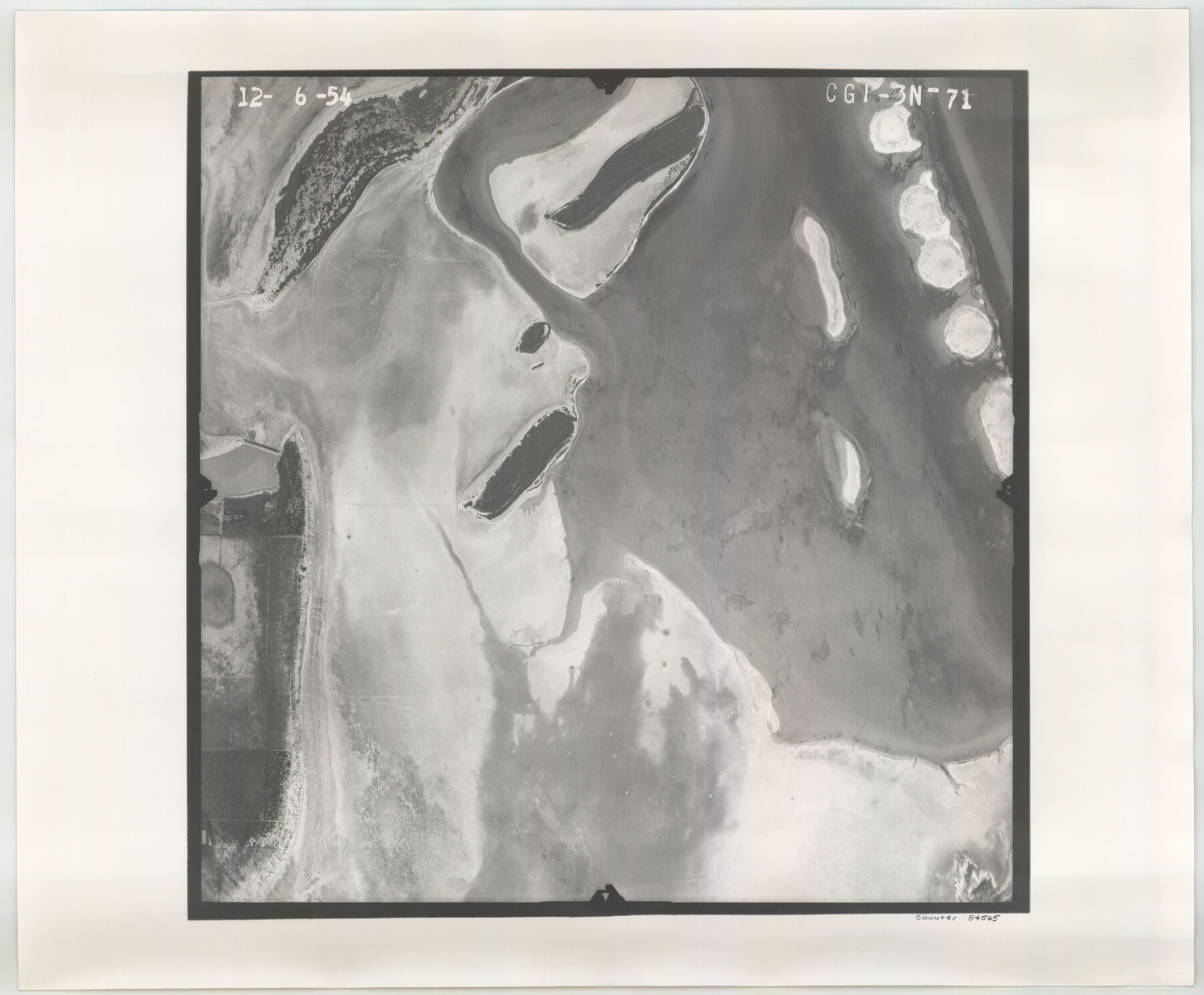
Flight Mission No. CGI-3N, Frame 71, Cameron County
CGI-3N-71
-
Map/Doc
84565
-
Collection
General Map Collection
-
Object Dates
1954/12/6 (Creation Date)
-
People and Organizations
U. S. Department of Agriculture (Publisher)
-
Counties
Cameron
-
Subjects
Aerial Photograph
-
Height x Width
18.4 x 22.3 inches
46.7 x 56.6 cm
-
Comments
Flown by Puckett Aerial Surveys, Inc. of Jackson, Mississippi.
Part of: General Map Collection
Baylor County Rolled Sketch BT

Print $20.00
- Digital $50.00
Baylor County Rolled Sketch BT
1916
Size 21.4 x 24.0 inches
Map/Doc 5131
Howard County Sketch File 6

Print $44.00
- Digital $50.00
Howard County Sketch File 6
1929
Size 18.6 x 14.4 inches
Map/Doc 26861
Galveston County Sketch File 51

Print $20.00
- Digital $50.00
Galveston County Sketch File 51
1895
Size 25.7 x 40.2 inches
Map/Doc 10457
Edwards County Working Sketch Graphic Index - east part - sheet 2

Print $40.00
- Digital $50.00
Edwards County Working Sketch Graphic Index - east part - sheet 2
1975
Size 54.7 x 39.8 inches
Map/Doc 76534
Orange County Working Sketch 35

Print $20.00
- Digital $50.00
Orange County Working Sketch 35
1959
Size 28.8 x 25.0 inches
Map/Doc 71367
Map of Cherokee County

Print $40.00
- Digital $50.00
Map of Cherokee County
1933
Size 59.9 x 41.5 inches
Map/Doc 1799
Township 11 North Range 15 West, Western District, Louisiana

Print $20.00
- Digital $50.00
Township 11 North Range 15 West, Western District, Louisiana
1834
Size 19.7 x 24.6 inches
Map/Doc 65870
Brewster County Rolled Sketch 147

Print $20.00
- Digital $50.00
Brewster County Rolled Sketch 147
1986
Size 24.6 x 24.8 inches
Map/Doc 5313
Menard County Boundary File 3

Print $4.00
- Digital $50.00
Menard County Boundary File 3
Size 10.6 x 8.0 inches
Map/Doc 57072
Edwards County Working Sketch 128

Print $20.00
- Digital $50.00
Edwards County Working Sketch 128
1981
Size 26.5 x 32.4 inches
Map/Doc 69004
Panola County Sketch File 27

Print $8.00
- Digital $50.00
Panola County Sketch File 27
1850
Size 5.4 x 7.7 inches
Map/Doc 33498
Brown County Working Sketch 13

Print $20.00
- Digital $50.00
Brown County Working Sketch 13
1985
Size 34.1 x 30.4 inches
Map/Doc 67778
You may also like
Cottle County Working Sketch 14a

Print $20.00
- Digital $50.00
Cottle County Working Sketch 14a
1963
Size 31.2 x 42.1 inches
Map/Doc 68324
Polk County Sketch File 29 1/2

Print $4.00
- Digital $50.00
Polk County Sketch File 29 1/2
Size 8.7 x 12.5 inches
Map/Doc 34204
Jeff Davis County Sketch File 30

Print $26.00
- Digital $50.00
Jeff Davis County Sketch File 30
1922
Size 14.1 x 8.5 inches
Map/Doc 28014
Right of Way and Track Map International & Gt. Northern Ry. operated by the International & Gt. Northern Ry. Co., Gulf Division, Columbia Branch

Print $40.00
- Digital $50.00
Right of Way and Track Map International & Gt. Northern Ry. operated by the International & Gt. Northern Ry. Co., Gulf Division, Columbia Branch
1917
Size 24.9 x 56.5 inches
Map/Doc 64594
Exhibit D Robert Violette M.A. 34719 Gaines County, Texas

Print $40.00
- Digital $50.00
Exhibit D Robert Violette M.A. 34719 Gaines County, Texas
Size 23.6 x 70.2 inches
Map/Doc 89767
Van Zandt County Sketch File 24a

Print $4.00
- Digital $50.00
Van Zandt County Sketch File 24a
1858
Size 6.2 x 8.1 inches
Map/Doc 39441
Texas Intracoastal Waterway - Laguna Madre - Rincon de San Jose to Chubby Island

Print $20.00
- Digital $50.00
Texas Intracoastal Waterway - Laguna Madre - Rincon de San Jose to Chubby Island
1957
Size 39.2 x 27.1 inches
Map/Doc 73512
Ector County Rolled Sketch 7

Print $20.00
- Digital $50.00
Ector County Rolled Sketch 7
1936
Size 37.1 x 30.4 inches
Map/Doc 5778
Flight Mission No. CLL-1N, Frame 81, Willacy County

Print $20.00
- Digital $50.00
Flight Mission No. CLL-1N, Frame 81, Willacy County
1954
Size 18.3 x 22.1 inches
Map/Doc 87027
Bowie County Sketch File 5

Print $4.00
- Digital $50.00
Bowie County Sketch File 5
Size 10.1 x 7.5 inches
Map/Doc 14837
Reconnaissance of Aransas Pass, Texas

Print $20.00
- Digital $50.00
Reconnaissance of Aransas Pass, Texas
1852
Size 14.4 x 13.6 inches
Map/Doc 76171
Rockwall County Boundary File 9a

Print $4.00
- Digital $50.00
Rockwall County Boundary File 9a
Size 14.0 x 8.8 inches
Map/Doc 58437