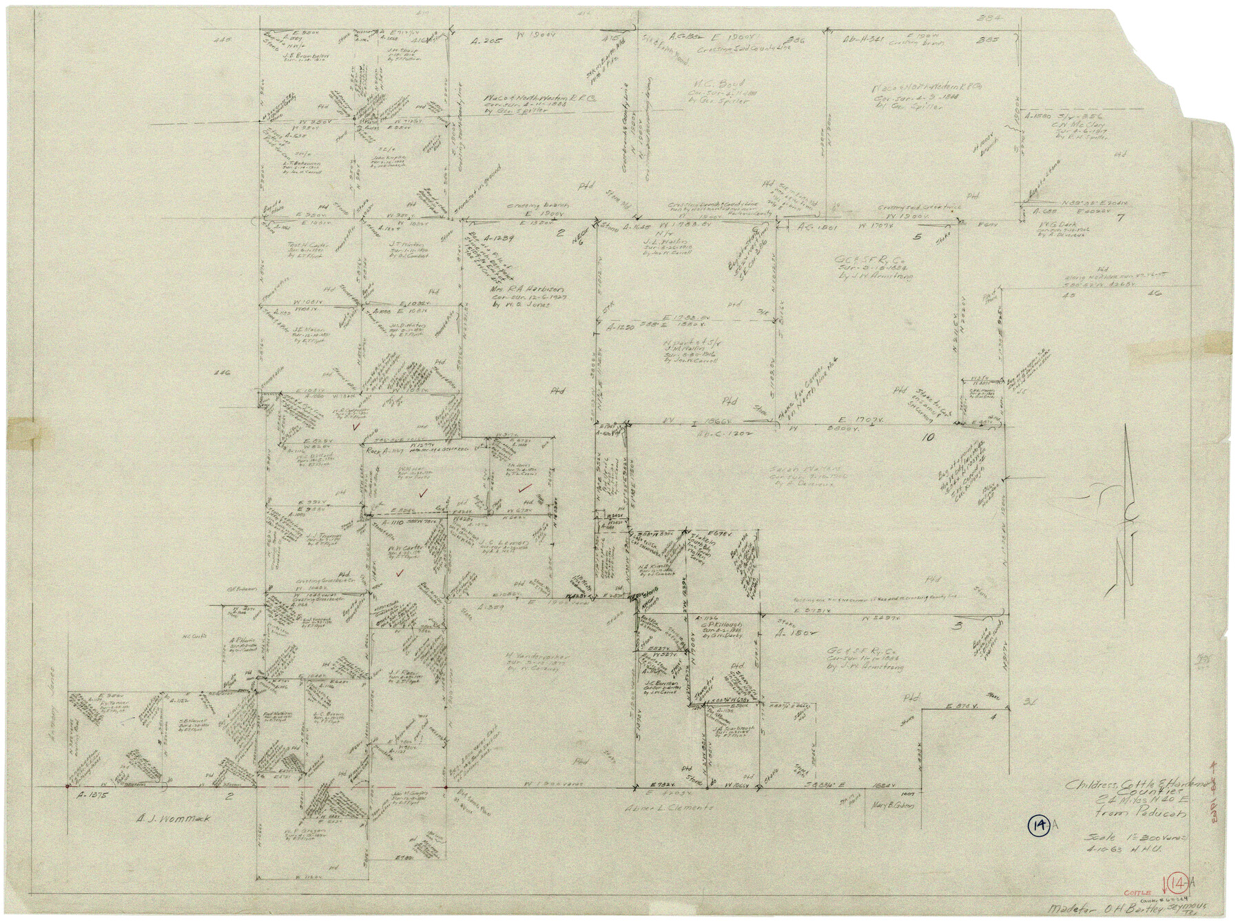
Cottle County Working Sketch 14a
-
Map/Doc
68324
-
Collection
General Map Collection
-
Object Dates
4/10/1963 (Creation Date)
-
People and Organizations
Herbert H. Ulbricht (Draftsman)
-
Counties
Cottle Childress Hardeman
-
Subjects
Surveying Working Sketch
-
Height x Width
31.2 x 42.1 inches
79.3 x 106.9 cm
-
Scale
1" = 300 varas
Part of: General Map Collection
Flight Mission No. DQN-2K, Frame 136, Calhoun County

Print $20.00
- Digital $50.00
Flight Mission No. DQN-2K, Frame 136, Calhoun County
1953
Size 18.5 x 15.8 inches
Map/Doc 84305
[Surveys near Hondo Creek]
![226, [Surveys near Hondo Creek], General Map Collection](https://historictexasmaps.com/wmedia_w700/maps/226.tif.jpg)
Print $2.00
- Digital $50.00
[Surveys near Hondo Creek]
1847
Size 13.8 x 8.0 inches
Map/Doc 226
Hardin County Working Sketch 23

Print $20.00
- Digital $50.00
Hardin County Working Sketch 23
1950
Size 20.7 x 29.4 inches
Map/Doc 63421
San Patricio County Rolled Sketch 29B

Print $20.00
- Digital $50.00
San Patricio County Rolled Sketch 29B
1936
Size 25.8 x 31.0 inches
Map/Doc 7582
Outer Continental Shelf Leasing Maps (Texas Offshore Operations)

Print $20.00
- Digital $50.00
Outer Continental Shelf Leasing Maps (Texas Offshore Operations)
Size 29.9 x 21.7 inches
Map/Doc 75857
Flight Mission No. CUG-1P, Frame 73, Kleberg County

Print $20.00
- Digital $50.00
Flight Mission No. CUG-1P, Frame 73, Kleberg County
1956
Size 18.4 x 22.5 inches
Map/Doc 86138
Flight Mission No. BRA-16M, Frame 121, Jefferson County

Print $20.00
- Digital $50.00
Flight Mission No. BRA-16M, Frame 121, Jefferson County
1953
Size 18.4 x 22.4 inches
Map/Doc 85731
Harris County Working Sketch 17

Print $20.00
- Digital $50.00
Harris County Working Sketch 17
1919
Size 40.0 x 41.6 inches
Map/Doc 65909
Flight Mission No. BRA-16M, Frame 167, Jefferson County

Print $20.00
- Digital $50.00
Flight Mission No. BRA-16M, Frame 167, Jefferson County
1953
Size 18.5 x 22.3 inches
Map/Doc 85765
Hemphill County Boundary File 3

Print $36.00
- Digital $50.00
Hemphill County Boundary File 3
Size 7.7 x 32.9 inches
Map/Doc 54630
Flight Mission No. BRE-1P, Frame 139, Nueces County

Print $20.00
- Digital $50.00
Flight Mission No. BRE-1P, Frame 139, Nueces County
1956
Size 18.8 x 22.6 inches
Map/Doc 86699
Houston County Working Sketch 29

Print $20.00
- Digital $50.00
Houston County Working Sketch 29
1990
Size 23.4 x 23.1 inches
Map/Doc 66259
You may also like
Nolan County Rolled Sketch 4

Print $20.00
- Digital $50.00
Nolan County Rolled Sketch 4
1982
Size 21.7 x 25.2 inches
Map/Doc 6862
Culberson County Sketch File WJ1

Print $6.00
- Digital $50.00
Culberson County Sketch File WJ1
1927
Size 11.2 x 8.9 inches
Map/Doc 20154
Brooks County Working Sketch 6

Print $20.00
- Digital $50.00
Brooks County Working Sketch 6
1917
Size 28.6 x 15.7 inches
Map/Doc 67790
Cameron County Rolled Sketch 8

Print $40.00
- Digital $50.00
Cameron County Rolled Sketch 8
1937
Size 42.5 x 54.1 inches
Map/Doc 8565
Morris County Working Sketch 5

Print $20.00
- Digital $50.00
Morris County Working Sketch 5
1965
Size 24.7 x 18.9 inches
Map/Doc 71204
Map of Hardin County

Print $20.00
- Digital $50.00
Map of Hardin County
1902
Size 43.1 x 44.2 inches
Map/Doc 66854
Smith County Rolled Sketch 6E1

Print $20.00
- Digital $50.00
Smith County Rolled Sketch 6E1
1966
Size 27.4 x 22.7 inches
Map/Doc 10612
[Southwest corner of Runnels County School Land League 3]
![91586, [Southwest corner of Runnels County School Land League 3], Twichell Survey Records](https://historictexasmaps.com/wmedia_w700/maps/91586-1.tif.jpg)
Print $2.00
- Digital $50.00
[Southwest corner of Runnels County School Land League 3]
1927
Size 14.2 x 8.7 inches
Map/Doc 91586
Presidio County Rolled Sketch 5

Print $20.00
- Digital $50.00
Presidio County Rolled Sketch 5
Size 23.1 x 22.2 inches
Map/Doc 7329
Roberts County Working Sketch 22

Print $20.00
- Digital $50.00
Roberts County Working Sketch 22
1978
Size 31.0 x 42.9 inches
Map/Doc 63548
![90573, [Block 3], Twichell Survey Records](https://historictexasmaps.com/wmedia_w700/maps/90573-1.tif.jpg)
Morris County Rolled Sketch 2A

Print $20.00
- Digital $50.00
Morris County Rolled Sketch 2A
Size 24.0 x 18.8 inches
Map/Doc 10240