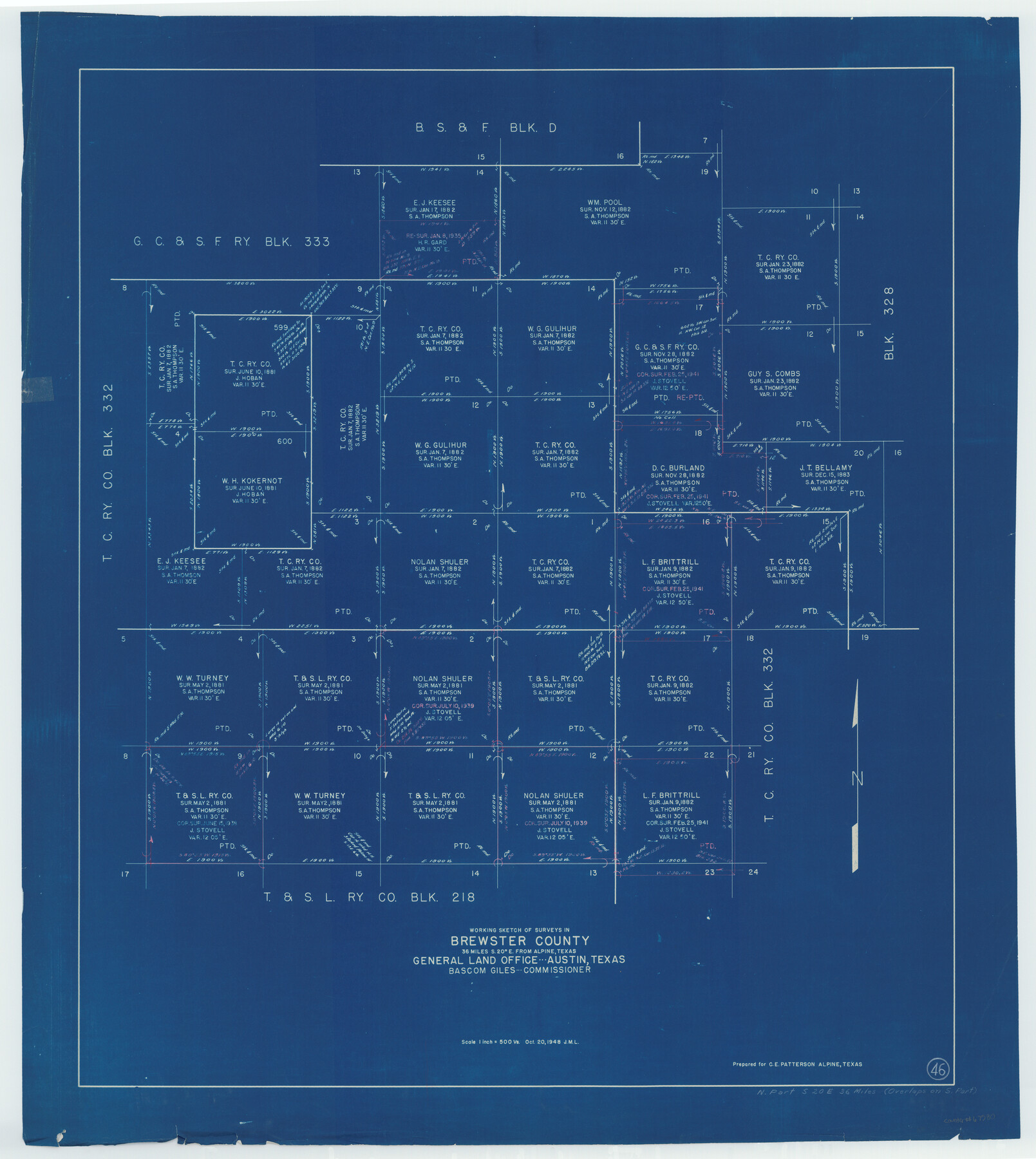
Brewster County Working Sketch 46
-
Map/Doc
67580
-
Collection
General Map Collection
-
Object Dates
10/20/1948 (Creation Date)
-
Counties
Brewster
-
Subjects
Surveying Working Sketch
-
Height x Width
37.6 x 33.6 inches
95.5 x 85.3 cm
-
Scale
1" = 500 varas
Part of: General Map Collection
Pecos County Rolled Sketch 59

Print $20.00
- Digital $50.00
Pecos County Rolled Sketch 59
1922
Size 16.6 x 17.0 inches
Map/Doc 7231
[F. W. & D. C. Ry. Co. Alignment and Right of Way Map, Clay County]
![64722, [F. W. & D. C. Ry. Co. Alignment and Right of Way Map, Clay County], General Map Collection](https://historictexasmaps.com/wmedia_w700/maps/64722-1.tif.jpg)
Print $20.00
- Digital $50.00
[F. W. & D. C. Ry. Co. Alignment and Right of Way Map, Clay County]
1927
Size 18.7 x 11.7 inches
Map/Doc 64722
Pecos County Rolled Sketch 18

Print $20.00
- Digital $50.00
Pecos County Rolled Sketch 18
1882
Size 34.4 x 44.1 inches
Map/Doc 9683
Ellis County Working Sketch 1

Print $20.00
- Digital $50.00
Ellis County Working Sketch 1
1939
Size 19.1 x 19.3 inches
Map/Doc 69017
Plot of land tracts situated in Austin Co. west of Mill Creek opposite and above the fork of the same

Print $2.00
- Digital $50.00
Plot of land tracts situated in Austin Co. west of Mill Creek opposite and above the fork of the same
1845
Size 7.7 x 8.1 inches
Map/Doc 224
[Map of the Fort Worth & Denver City Ry., Dallam County, Texas]
![64351, [Map of the Fort Worth & Denver City Ry., Dallam County, Texas], General Map Collection](https://historictexasmaps.com/wmedia_w700/maps/64351.tif.jpg)
Print $40.00
- Digital $50.00
[Map of the Fort Worth & Denver City Ry., Dallam County, Texas]
1887
Size 21.1 x 121.0 inches
Map/Doc 64351
Fayette County Working Sketch 10

Print $20.00
- Digital $50.00
Fayette County Working Sketch 10
1985
Size 27.1 x 38.5 inches
Map/Doc 69174
Schleicher County Rolled Sketch 15

Print $20.00
- Digital $50.00
Schleicher County Rolled Sketch 15
Size 28.8 x 41.0 inches
Map/Doc 7757
Polk County Rolled Sketch 31

Print $20.00
- Digital $50.00
Polk County Rolled Sketch 31
Size 24.5 x 21.1 inches
Map/Doc 7317
Guadalupe County

Print $20.00
- Digital $50.00
Guadalupe County
1977
Size 36.5 x 47.8 inches
Map/Doc 95515
Garza County Sketch File 15

Print $20.00
- Digital $50.00
Garza County Sketch File 15
1902
Size 16.8 x 14.7 inches
Map/Doc 11545
Leon County Rolled Sketch 6

Print $20.00
- Digital $50.00
Leon County Rolled Sketch 6
1951
Size 31.6 x 37.6 inches
Map/Doc 6597
You may also like
Duval County Rolled Sketch EF

Print $20.00
- Digital $50.00
Duval County Rolled Sketch EF
1934
Size 26.8 x 35.0 inches
Map/Doc 5766

Kleberg County Rolled Sketch 13

Print $20.00
- Digital $50.00
Kleberg County Rolled Sketch 13
1995
Size 39.3 x 33.8 inches
Map/Doc 6554
San Luis Pass to Matagorda Bay

Print $20.00
- Digital $50.00
San Luis Pass to Matagorda Bay
1924
Size 34.5 x 45.6 inches
Map/Doc 69959
Atascosa County Rolled Sketch 27

Print $20.00
- Digital $50.00
Atascosa County Rolled Sketch 27
2012
Size 25.9 x 34.1 inches
Map/Doc 95410
Archer County Working Sketch 5

Print $20.00
- Digital $50.00
Archer County Working Sketch 5
1919
Size 14.7 x 23.4 inches
Map/Doc 67145
Dickens County Rolled Sketch P1

Print $20.00
- Digital $50.00
Dickens County Rolled Sketch P1
1915
Size 40.5 x 36.2 inches
Map/Doc 8783
Terry County Sketch File 1

Print $20.00
- Digital $50.00
Terry County Sketch File 1
1903
Size 25.7 x 23.4 inches
Map/Doc 12428
North Part Brewster Co.

Print $40.00
- Digital $50.00
North Part Brewster Co.
1914
Size 40.7 x 48.5 inches
Map/Doc 66730
Jefferson County Rolled Sketch 3

Print $20.00
- Digital $50.00
Jefferson County Rolled Sketch 3
1909
Size 36.0 x 16.2 inches
Map/Doc 6384
Dallam County

Print $40.00
- Digital $50.00
Dallam County
1901
Size 44.3 x 56.3 inches
Map/Doc 93459
Stonewall County Sketch File AA1

Print $26.00
- Digital $50.00
Stonewall County Sketch File AA1
1916
Size 14.3 x 8.6 inches
Map/Doc 37288