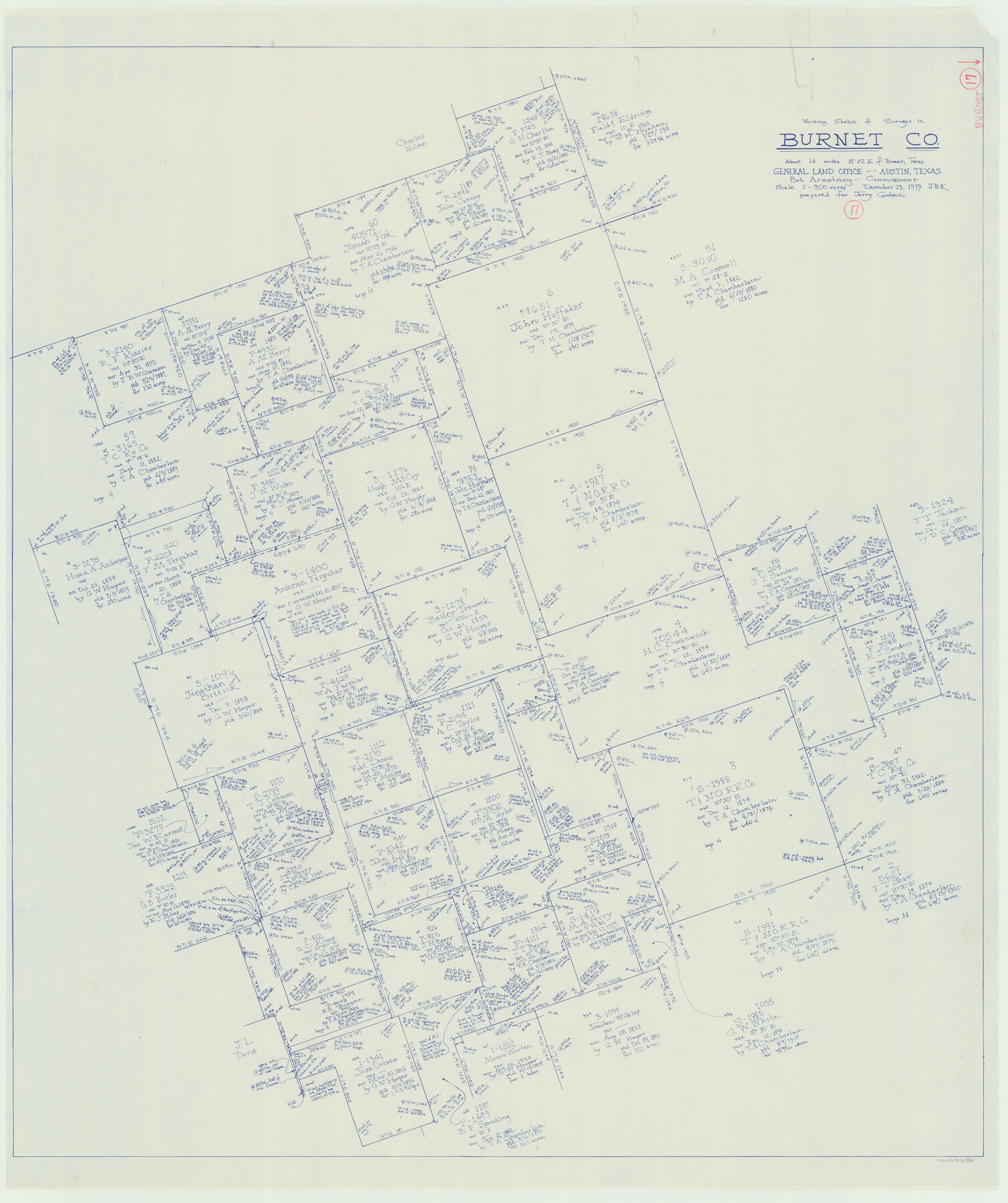
Burnet County Working Sketch 17
-
Map/Doc
67860
-
Collection
General Map Collection
-
Object Dates
12/13/1979 (Creation Date)
-
People and Organizations
Joan Kilpatrick (Draftsman)
-
Counties
Burnet
-
Subjects
Surveying Working Sketch
-
Height x Width
41.1 x 34.4 inches
104.4 x 87.4 cm
-
Scale
1" = 300 varas
Part of: General Map Collection
Crane County Sketch File 14 (C-2)

Print $8.00
- Digital $50.00
Crane County Sketch File 14 (C-2)
1925
Size 9.3 x 7.7 inches
Map/Doc 19575
Pecos County Sketch File 116

Print $6.00
- Digital $50.00
Pecos County Sketch File 116
1913
Size 10.9 x 8.8 inches
Map/Doc 34092
Dawson County Sketch File 15

Print $40.00
- Digital $50.00
Dawson County Sketch File 15
Size 17.8 x 7.9 inches
Map/Doc 20549
Blanco County Working Sketch 10

Print $20.00
- Digital $50.00
Blanco County Working Sketch 10
1938
Size 28.3 x 25.8 inches
Map/Doc 67370
Hutchinson County Working Sketch 25

Print $20.00
- Digital $50.00
Hutchinson County Working Sketch 25
1972
Size 21.5 x 25.0 inches
Map/Doc 66385
Sutton County Rolled Sketch 40

Print $20.00
- Digital $50.00
Sutton County Rolled Sketch 40
1930
Size 25.9 x 28.3 inches
Map/Doc 7882
Houston including Bellaire, Bunker Hill, Galena Park, Hedwig, Hilshire, Hunters Creek, Jacinto City, Jersey Village, Missouri City, Pasadena, Piney Point, South Houston, Spring Valley, West University Place and adjoining communities [Verso]
![94180, Houston including Bellaire, Bunker Hill, Galena Park, Hedwig, Hilshire, Hunters Creek, Jacinto City, Jersey Village, Missouri City, Pasadena, Piney Point, South Houston, Spring Valley, West University Place and adjoining communities [Verso], General Map Collection](https://historictexasmaps.com/wmedia_w700/maps/94180.tif.jpg)
Houston including Bellaire, Bunker Hill, Galena Park, Hedwig, Hilshire, Hunters Creek, Jacinto City, Jersey Village, Missouri City, Pasadena, Piney Point, South Houston, Spring Valley, West University Place and adjoining communities [Verso]
Size 27.1 x 42.4 inches
Map/Doc 94180
[Galveston, Harrisburg & San Antonio Railroad from Cuero to Stockdale]
![64192, [Galveston, Harrisburg & San Antonio Railroad from Cuero to Stockdale], General Map Collection](https://historictexasmaps.com/wmedia_w700/maps/64192.tif.jpg)
Print $20.00
- Digital $50.00
[Galveston, Harrisburg & San Antonio Railroad from Cuero to Stockdale]
1907
Size 14.1 x 34.1 inches
Map/Doc 64192
United States - Gulf Coast Texas - Southern part of Laguna Madre

Print $20.00
- Digital $50.00
United States - Gulf Coast Texas - Southern part of Laguna Madre
1941
Size 26.5 x 18.4 inches
Map/Doc 72943
Crockett County Sketch File 42

Print $28.00
- Digital $50.00
Crockett County Sketch File 42
Size 12.8 x 8.4 inches
Map/Doc 19755
University Land Field Notes for Blocks K, L, M, and N in Hudspeth County

University Land Field Notes for Blocks K, L, M, and N in Hudspeth County
Map/Doc 81713
Edwards County Working Sketch 42

Print $20.00
- Digital $50.00
Edwards County Working Sketch 42
1949
Size 25.5 x 31.4 inches
Map/Doc 68918
You may also like
[Sketch of Sullivan Property]
![75775, [Sketch of Sullivan Property], Maddox Collection](https://historictexasmaps.com/wmedia_w700/maps/75775.tif.jpg)
Print $20.00
- Digital $50.00
[Sketch of Sullivan Property]
Size 14.3 x 22.7 inches
Map/Doc 75775
Map Showing Resurvey of Capitol Leagues, Deaf Smith Co.

Print $20.00
- Digital $50.00
Map Showing Resurvey of Capitol Leagues, Deaf Smith Co.
1918
Size 42.5 x 31.9 inches
Map/Doc 1756
Childress County

Print $20.00
- Digital $50.00
Childress County
1921
Size 44.1 x 32.2 inches
Map/Doc 4746
Kerr County Working Sketch 9

Print $20.00
- Digital $50.00
Kerr County Working Sketch 9
1949
Size 31.6 x 33.0 inches
Map/Doc 70040
Kent County Sketch File 9

Print $8.00
- Digital $50.00
Kent County Sketch File 9
Size 10.3 x 8.1 inches
Map/Doc 28832
Victoria County Aerial Photograph Index Sheet 4

Print $20.00
- Digital $50.00
Victoria County Aerial Photograph Index Sheet 4
1953
Size 19.8 x 23.4 inches
Map/Doc 83748
Parker County Sketch File 12

Print $4.00
- Digital $50.00
Parker County Sketch File 12
1858
Size 9.1 x 7.1 inches
Map/Doc 33544
Flight Mission No. CUG-3P, Frame 161, Kleberg County

Print $20.00
- Digital $50.00
Flight Mission No. CUG-3P, Frame 161, Kleberg County
1956
Size 18.6 x 22.5 inches
Map/Doc 86281
Map of the military dep't of Texas : being a section of the map of the territory of the U.S. from the Mississippi River to the Pacific Ocean

Print $20.00
Map of the military dep't of Texas : being a section of the map of the territory of the U.S. from the Mississippi River to the Pacific Ocean
1859
Size 20.9 x 24.0 inches
Map/Doc 93596
Right of Way & Track Map Houston & Brazos Valley Ry. operated by Houston & Brazos Valley Ry. Co., Hoskins Mound Branch

Print $40.00
- Digital $50.00
Right of Way & Track Map Houston & Brazos Valley Ry. operated by Houston & Brazos Valley Ry. Co., Hoskins Mound Branch
1924
Size 25.3 x 56.4 inches
Map/Doc 64609
Sketch Showing Lands Southeast of Creek Outside of H. C. Sisco's Area, Exhibit H

Print $20.00
- Digital $50.00
Sketch Showing Lands Southeast of Creek Outside of H. C. Sisco's Area, Exhibit H
Size 20.0 x 24.5 inches
Map/Doc 91373
Reeves County Sketch File 21

Print $20.00
- Digital $50.00
Reeves County Sketch File 21
Size 21.9 x 21.7 inches
Map/Doc 12246