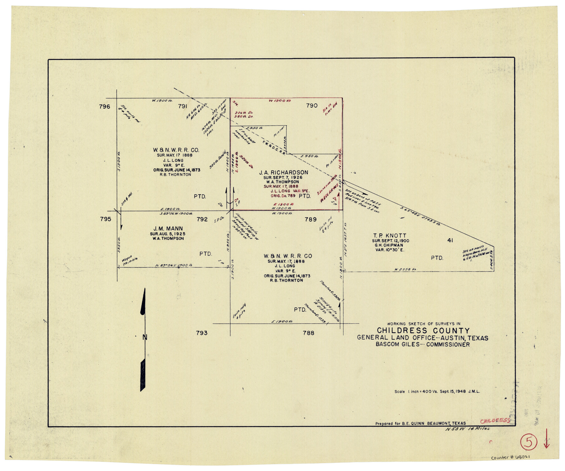
Childress County Working Sketch 5
-
Map/Doc
68021
-
Collection
General Map Collection
-
Object Dates
9/15/1948 (Creation Date)
-
Counties
Childress
-
Subjects
Surveying Working Sketch
-
Height x Width
19.6 x 23.5 inches
49.8 x 59.7 cm
-
Scale
1" = 400 varas
Part of: General Map Collection
Brown County Sketch File 12

Print $4.00
- Digital $50.00
Brown County Sketch File 12
1870
Size 12.4 x 8.0 inches
Map/Doc 16602
Flight Mission No. DAG-14K, Frame 140, Matagorda County

Print $20.00
- Digital $50.00
Flight Mission No. DAG-14K, Frame 140, Matagorda County
1952
Size 17.6 x 17.6 inches
Map/Doc 86307
Live Oak County Working Sketch 17

Print $20.00
- Digital $50.00
Live Oak County Working Sketch 17
1960
Size 29.5 x 26.9 inches
Map/Doc 70602
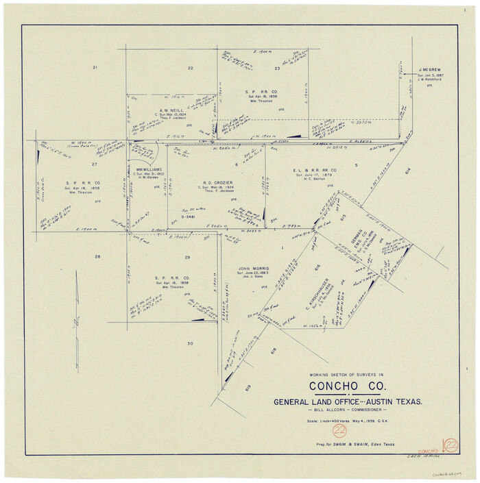
Concho County Working Sketch 22
Print $20.00
- Digital $50.00
Concho County Working Sketch 22
1959
Size 25.2 x 25.2 inches
Map/Doc 68204
Garza County Boundary File 1

Print $4.00
- Digital $50.00
Garza County Boundary File 1
Size 11.4 x 9.0 inches
Map/Doc 53671
Texas-Indian Territory Gainesville Quadrangle

Print $20.00
- Digital $50.00
Texas-Indian Territory Gainesville Quadrangle
1902
Size 20.4 x 16.9 inches
Map/Doc 75102
Le Nouveau Mexique avec la partie Septentrionale de l'Ancien ou de la Nouvelle Espagne

Print $20.00
- Digital $50.00
Le Nouveau Mexique avec la partie Septentrionale de l'Ancien ou de la Nouvelle Espagne
1780
Size 10.0 x 14.4 inches
Map/Doc 97277
Webb County Sketch File VOLP

Print $40.00
- Digital $50.00
Webb County Sketch File VOLP
1937
Size 18.9 x 33.8 inches
Map/Doc 12607
Franklin County Boundary File 2

Print $60.00
- Digital $50.00
Franklin County Boundary File 2
Size 26.1 x 13.2 inches
Map/Doc 53573
Floyd County Sketch File 12

Print $10.00
- Digital $50.00
Floyd County Sketch File 12
1913
Size 10.8 x 8.8 inches
Map/Doc 22708

Lubbock County

Print $20.00
- Digital $50.00
Lubbock County
1892
Size 25.0 x 20.6 inches
Map/Doc 66910
You may also like
Trace of a copy of the map captured at the battle of Resaca de la Palma

Print $20.00
- Digital $50.00
Trace of a copy of the map captured at the battle of Resaca de la Palma
Size 18.3 x 27.6 inches
Map/Doc 73053
Supreme Court of the United States, October Term, 1923, No. 15, Original - The State of Oklahoma, Complainant vs. The State of Texas, Defendant, The United States, Intervener; Report of Medial Line Survey

Print $28.00
- Digital $50.00
Supreme Court of the United States, October Term, 1923, No. 15, Original - The State of Oklahoma, Complainant vs. The State of Texas, Defendant, The United States, Intervener; Report of Medial Line Survey
1924
Size 5.9 x 9.1 inches
Map/Doc 3055
Jasper County Sketch File 28

Print $10.00
- Digital $50.00
Jasper County Sketch File 28
1947
Size 11.4 x 8.8 inches
Map/Doc 27853
Williamson County Working Sketch 9

Print $20.00
- Digital $50.00
Williamson County Working Sketch 9
1954
Size 31.2 x 30.0 inches
Map/Doc 72569
Old Miscellaneous File 11

Print $4.00
- Digital $50.00
Old Miscellaneous File 11
1886
Size 11.2 x 8.8 inches
Map/Doc 75437
Comanche County Working Sketch 21

Print $20.00
- Digital $50.00
Comanche County Working Sketch 21
1973
Size 28.0 x 26.1 inches
Map/Doc 68155
Newton County Sketch File 18

Print $24.00
- Digital $50.00
Newton County Sketch File 18
1886
Size 12.1 x 8.3 inches
Map/Doc 32393
[Sketch showing the Northwest part of Hale County and the Northeast part of Lamb County]
![93205, [Sketch showing the Northwest part of Hale County and the Northeast part of Lamb County], Twichell Survey Records](https://historictexasmaps.com/wmedia_w700/maps/93205-1.tif.jpg)
Print $40.00
- Digital $50.00
[Sketch showing the Northwest part of Hale County and the Northeast part of Lamb County]
Size 55.3 x 56.7 inches
Map/Doc 93205
Working Sketch in SW cor. of Coleman Co. showing the excess in the surveys fronting on the river and the relative position of surveys north of them according to latest data on file in the Genl. Land Office

Print $20.00
- Digital $50.00
Working Sketch in SW cor. of Coleman Co. showing the excess in the surveys fronting on the river and the relative position of surveys north of them according to latest data on file in the Genl. Land Office
1892
Size 18.8 x 14.1 inches
Map/Doc 441
Map of Jones County

Print $20.00
- Digital $50.00
Map of Jones County
1898
Size 41.2 x 40.0 inches
Map/Doc 16862
Map of Lee County Texas

Print $20.00
- Digital $50.00
Map of Lee County Texas
1879
Size 26.2 x 18.0 inches
Map/Doc 4578
Bowie County Sketch File 8a

Print $4.00
- Digital $50.00
Bowie County Sketch File 8a
1927
Size 10.6 x 8.6 inches
Map/Doc 14873