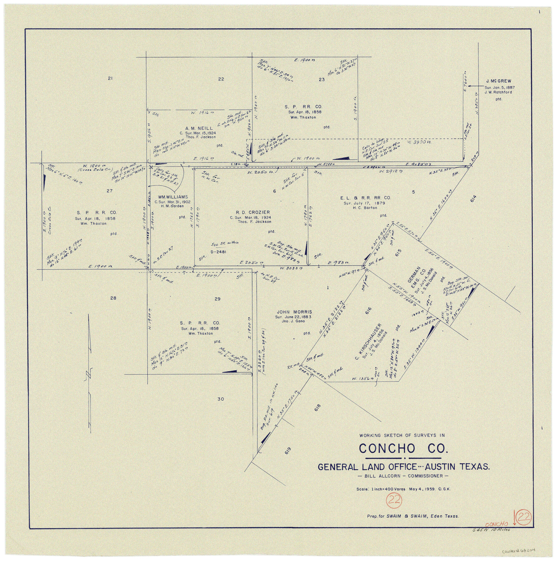
Concho County Working Sketch 22
-
Map/Doc
68204
-
Collection
General Map Collection
-
Object Dates
5/4/1959 (Creation Date)
-
People and Organizations
Otto G. Kurio (Draftsman)
-
Counties
Concho
-
Subjects
Surveying Working Sketch
-
Height x Width
25.2 x 25.2 inches
64.0 x 64.0 cm
-
Scale
1" = 400 varas
Part of: General Map Collection
Flight Mission No. BRA-8M, Frame 113, Jefferson County

Print $20.00
- Digital $50.00
Flight Mission No. BRA-8M, Frame 113, Jefferson County
1953
Size 18.6 x 22.3 inches
Map/Doc 85609

Willacy County Rolled Sketch 1

Print $121.00
- Digital $50.00
Willacy County Rolled Sketch 1
1956
Size 10.4 x 15.3 inches
Map/Doc 49566
Flight Mission No. DQN-2K, Frame 71, Calhoun County

Print $20.00
- Digital $50.00
Flight Mission No. DQN-2K, Frame 71, Calhoun County
1953
Size 18.9 x 22.4 inches
Map/Doc 84263
Current Miscellaneous File 34

Print $10.00
- Digital $50.00
Current Miscellaneous File 34
1953
Size 14.1 x 8.7 inches
Map/Doc 73942
Sterling County Rolled Sketch 22

Print $20.00
- Digital $50.00
Sterling County Rolled Sketch 22
Size 33.6 x 30.8 inches
Map/Doc 9953
Wise County Sketch File 26b

Print $20.00
- Digital $50.00
Wise County Sketch File 26b
1855
Size 13.3 x 19.9 inches
Map/Doc 12700
Cottle County Sketch File 3a

Print $14.00
- Digital $50.00
Cottle County Sketch File 3a
Size 12.9 x 8.8 inches
Map/Doc 19459
Upton County Sketch File 8

Print $4.00
- Digital $50.00
Upton County Sketch File 8
1913
Size 14.4 x 8.8 inches
Map/Doc 38822
Harris County Historic Topographic 30

Print $20.00
- Digital $50.00
Harris County Historic Topographic 30
1915
Size 29.2 x 22.7 inches
Map/Doc 65841
Parker County Sketch File 1

Print $4.00
- Digital $50.00
Parker County Sketch File 1
Size 8.5 x 10.4 inches
Map/Doc 33516
Medina County Sketch File 7

Print $20.00
- Digital $50.00
Medina County Sketch File 7
Size 25.0 x 10.6 inches
Map/Doc 12067
You may also like
Harris County Rolled Sketch WB

Print $20.00
- Digital $50.00
Harris County Rolled Sketch WB
1916
Size 15.5 x 21.1 inches
Map/Doc 6147
Montgomery County Working Sketch 4

Print $20.00
- Digital $50.00
Montgomery County Working Sketch 4
1926
Size 20.9 x 22.2 inches
Map/Doc 71110
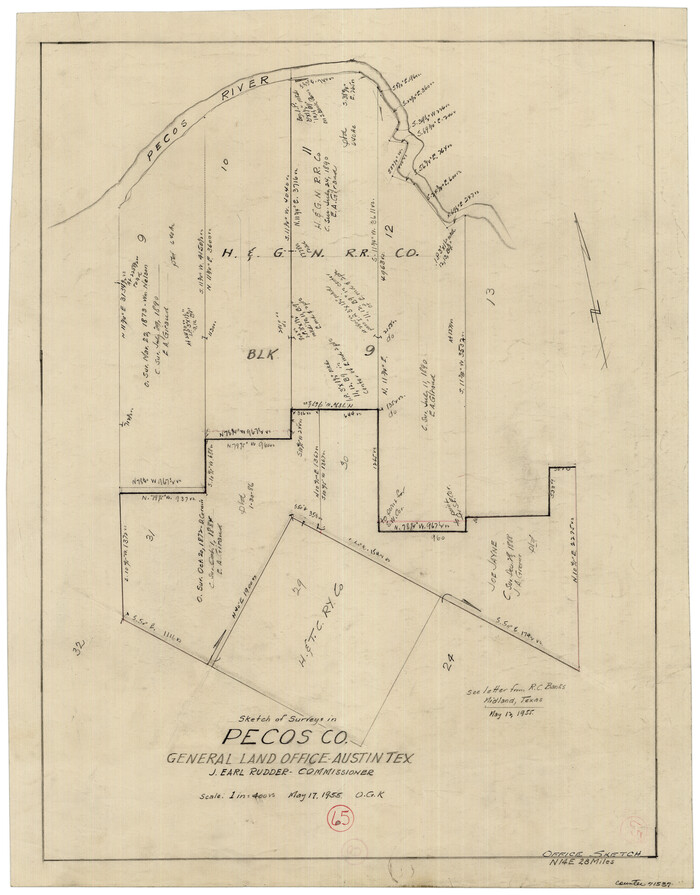
Pecos County Working Sketch 65
Print $20.00
- Digital $50.00
Pecos County Working Sketch 65
1955
Size 25.0 x 19.4 inches
Map/Doc 71537
La Salle County Sketch File 53

Print $8.00
- Digital $50.00
La Salle County Sketch File 53
1992
Size 11.2 x 8.8 inches
Map/Doc 29624
Flight Mission No. BRA-16M, Frame 180, Jefferson County

Print $20.00
- Digital $50.00
Flight Mission No. BRA-16M, Frame 180, Jefferson County
1953
Size 18.5 x 22.4 inches
Map/Doc 85778
Jackson County Working Sketch 14

Print $20.00
- Digital $50.00
Jackson County Working Sketch 14
1990
Size 31.7 x 32.2 inches
Map/Doc 66462
The Republic County of Gonzales. May 3, 1838

Print $20.00
The Republic County of Gonzales. May 3, 1838
2020
Size 14.7 x 21.7 inches
Map/Doc 96155
Roberts County Working Sketch 8

Print $20.00
- Digital $50.00
Roberts County Working Sketch 8
1963
Size 21.9 x 26.0 inches
Map/Doc 63534
Bandera County Boundary File 4a

Print $32.00
- Digital $50.00
Bandera County Boundary File 4a
Size 13.3 x 8.7 inches
Map/Doc 50276
Floyd County Sketch File 32

Print $8.00
- Digital $50.00
Floyd County Sketch File 32
1952
Size 14.3 x 8.9 inches
Map/Doc 22792
Starr County Sketch File 25

Print $42.00
- Digital $50.00
Starr County Sketch File 25
1921
Size 9.1 x 8.6 inches
Map/Doc 36927
Limestone Co.

Print $40.00
- Digital $50.00
Limestone Co.
1971
Size 49.9 x 34.5 inches
Map/Doc 95571