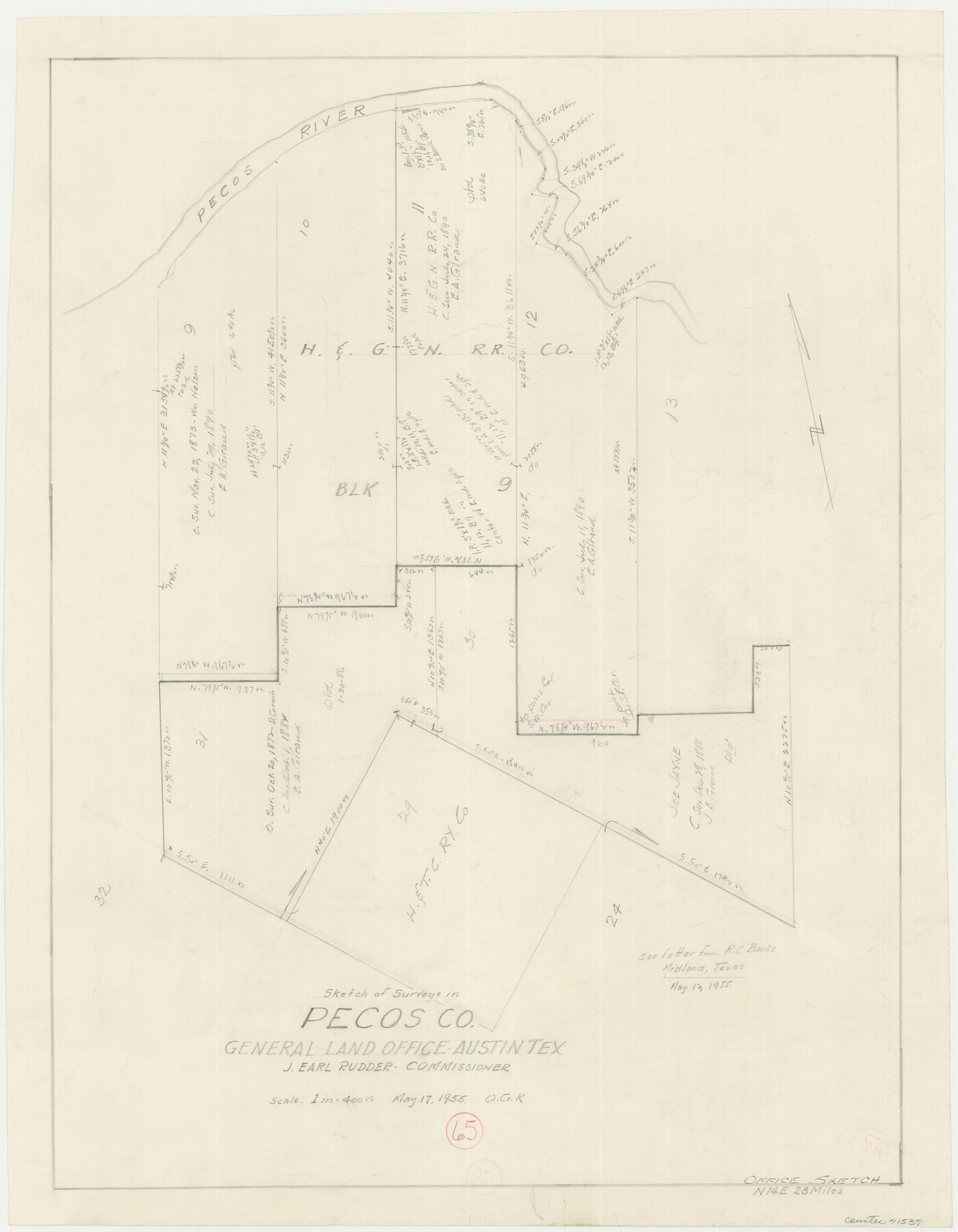
Pecos County Working Sketch 65
-
Map/Doc
71537
-
Collection
General Map Collection
-
Object Dates
5/17/1955 (Creation Date)
-
People and Organizations
Otto G. Kurio (Draftsman)
-
Counties
Pecos
-
Subjects
Surveying Working Sketch
-
Height x Width
25.0 x 19.4 inches
63.5 x 49.3 cm
-
Scale
1" = 400 varas
Part of: General Map Collection
Duval County Working Sketch 6

Print $20.00
- Digital $50.00
Duval County Working Sketch 6
1935
Size 26.9 x 21.8 inches
Map/Doc 68719

Harris County Sketch File 20

Print $6.00
- Digital $50.00
Harris County Sketch File 20
1862
Size 8.6 x 7.9 inches
Map/Doc 25368
Right of Way & Track Map San Antonio & Aransas Pass Railway Co.

Print $40.00
- Digital $50.00
Right of Way & Track Map San Antonio & Aransas Pass Railway Co.
1919
Size 25.7 x 56.7 inches
Map/Doc 64039
Washington County Sketch File 5

Print $4.00
- Digital $50.00
Washington County Sketch File 5
Size 8.0 x 7.0 inches
Map/Doc 39652
La Salle County Working Sketch Graphic Index

Print $40.00
- Digital $50.00
La Salle County Working Sketch Graphic Index
1923
Size 48.2 x 42.0 inches
Map/Doc 76615
Railroad Track Map, H&TCRRCo., Falls County, Texas

Print $4.00
- Digital $50.00
Railroad Track Map, H&TCRRCo., Falls County, Texas
1918
Size 11.5 x 18.4 inches
Map/Doc 62846
San Patricio County Working Sketch 5

Print $20.00
- Digital $50.00
San Patricio County Working Sketch 5
1934
Size 31.6 x 35.9 inches
Map/Doc 63767
Pecos County Working Sketch 10

Print $20.00
- Digital $50.00
Pecos County Working Sketch 10
1907
Size 25.9 x 23.9 inches
Map/Doc 71480
Kinney County Sketch File 16

Print $20.00
- Digital $50.00
Kinney County Sketch File 16
1887
Size 23.2 x 25.4 inches
Map/Doc 11941
Houston County Sketch File 34

Print $6.00
- Digital $50.00
Houston County Sketch File 34
1914
Size 13.3 x 11.0 inches
Map/Doc 26811
DeWitt County Working Sketch 10

Print $20.00
- Digital $50.00
DeWitt County Working Sketch 10
1980
Size 15.1 x 12.0 inches
Map/Doc 68600
You may also like
Map of Glasscock County

Print $20.00
- Digital $50.00
Map of Glasscock County
Size 18.9 x 23.2 inches
Map/Doc 90711
[Surveying Sketch of Loma Blanca, Santa Rosa, San Antonio del Encinal, et al]
![4449, [Surveying Sketch of Loma Blanca, Santa Rosa, San Antonio del Encinal, et al], Maddox Collection](https://historictexasmaps.com/wmedia_w700/maps/4449.tif.jpg)
Print $20.00
- Digital $50.00
[Surveying Sketch of Loma Blanca, Santa Rosa, San Antonio del Encinal, et al]
Size 19.0 x 22.1 inches
Map/Doc 4449
Cass County Rolled Sketch OPD

Print $20.00
- Digital $50.00
Cass County Rolled Sketch OPD
1936
Size 29.4 x 25.1 inches
Map/Doc 5483
Hays County Working Sketch 2

Print $20.00
- Digital $50.00
Hays County Working Sketch 2
1920
Size 26.1 x 27.1 inches
Map/Doc 66076
Mason County Sketch File 5

Print $20.00
- Digital $50.00
Mason County Sketch File 5
1875
Size 15.8 x 12.9 inches
Map/Doc 12033
Flight Mission No. DAG-21K, Frame 106, Matagorda County

Print $20.00
- Digital $50.00
Flight Mission No. DAG-21K, Frame 106, Matagorda County
1952
Size 18.6 x 22.5 inches
Map/Doc 86434
Waco, Tex., County Seat of McLennan Co.

Print $20.00
Waco, Tex., County Seat of McLennan Co.
1886
Size 23.1 x 32.7 inches
Map/Doc 89212
Ramsey State Farm of the Texas Prison System, Brazoria County

Print $4.00
- Digital $50.00
Ramsey State Farm of the Texas Prison System, Brazoria County
1932
Size 15.9 x 18.6 inches
Map/Doc 65273
Robertson County Working Sketch Graphic Index

Print $20.00
- Digital $50.00
Robertson County Working Sketch Graphic Index
1945
Size 46.8 x 37.9 inches
Map/Doc 76685
Map showing survey for proposed ship channel from Brownsville to Brazos Santiago Pass

Print $20.00
- Digital $50.00
Map showing survey for proposed ship channel from Brownsville to Brazos Santiago Pass
1912
Size 18.6 x 28.8 inches
Map/Doc 72901
Val Verde County Working Sketch 37

Print $20.00
- Digital $50.00
Val Verde County Working Sketch 37
1943
Size 27.1 x 31.1 inches
Map/Doc 72172
Smith County Rolled Sketch 6A2

Print $40.00
- Digital $50.00
Smith County Rolled Sketch 6A2
1934
Size 48.7 x 36.7 inches
Map/Doc 10702