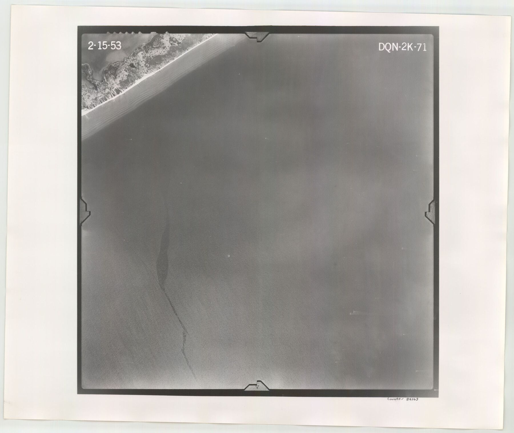
Flight Mission No. DQN-2K, Frame 71, Calhoun County
DQN-2K-71
-
Map/Doc
84263
-
Collection
General Map Collection
-
Object Dates
1953/2/15 (Creation Date)
-
People and Organizations
U. S. Department of Agriculture (Publisher)
-
Counties
Calhoun
-
Subjects
Aerial Photograph
-
Height x Width
18.9 x 22.4 inches
48.0 x 56.9 cm
-
Comments
Flown by Aero Exploration Company of Tulsa, Oklahoma.
Part of: General Map Collection
Wichita County Sketch File 29

Print $9.00
- Digital $50.00
Wichita County Sketch File 29
1930
Size 11.3 x 8.8 inches
Map/Doc 40132
Midland County Working Sketch 4

Print $20.00
- Digital $50.00
Midland County Working Sketch 4
Size 20.3 x 44.3 inches
Map/Doc 70984
Hunt County Rolled Sketch 1

Print $20.00
- Digital $50.00
Hunt County Rolled Sketch 1
Size 28.3 x 18.4 inches
Map/Doc 6266
Harris County Rolled Sketch 99

Print $20.00
- Digital $50.00
Harris County Rolled Sketch 99
1985
Size 16.2 x 20.2 inches
Map/Doc 6137
Hall County Sketch File 14

Print $20.00
- Digital $50.00
Hall County Sketch File 14
1882
Size 20.9 x 32.9 inches
Map/Doc 11607
Val Verde County Sketch File M

Print $18.00
- Digital $50.00
Val Verde County Sketch File M
1920
Size 14.5 x 9.1 inches
Map/Doc 39275

Stephens County

Print $20.00
- Digital $50.00
Stephens County
1940
Size 42.4 x 40.7 inches
Map/Doc 95644
Hudspeth County Working Sketch 47

Print $20.00
- Digital $50.00
Hudspeth County Working Sketch 47
1984
Size 28.4 x 41.1 inches
Map/Doc 66332
Wichita County Sketch File 36

Print $20.00
- Digital $50.00
Wichita County Sketch File 36
1894
Size 20.1 x 25.9 inches
Map/Doc 12689
Cherokee County Working Sketch 22

Print $20.00
- Digital $50.00
Cherokee County Working Sketch 22
1972
Size 24.0 x 19.2 inches
Map/Doc 67977
Caldwell County Sketch File 5

Print $8.00
- Digital $50.00
Caldwell County Sketch File 5
Size 14.1 x 8.6 inches
Map/Doc 35843
You may also like
[Sketch showing T. & N. O. Blocks 3T and 6T, Denison and Pacific RR. Co. Block O-18 and surrounding areas]
![93001, [Sketch showing T. & N. O. Blocks 3T and 6T, Denison and Pacific RR. Co. Block O-18 and surrounding areas], Twichell Survey Records](https://historictexasmaps.com/wmedia_w700/maps/93001-1.tif.jpg)
Print $20.00
- Digital $50.00
[Sketch showing T. & N. O. Blocks 3T and 6T, Denison and Pacific RR. Co. Block O-18 and surrounding areas]
Size 21.0 x 28.5 inches
Map/Doc 93001
Texas Land Commissioner George P. Bush's Energy Map of Texas Showing Significant Events and Well & Pipeline Locations Between 1543 and 2015

Print $20.00
- Digital $50.00
Texas Land Commissioner George P. Bush's Energy Map of Texas Showing Significant Events and Well & Pipeline Locations Between 1543 and 2015
2015
Size 33.3 x 36.3 inches
Map/Doc 93978
Freestone County Working Sketch 28

Print $20.00
- Digital $50.00
Freestone County Working Sketch 28
1981
Size 17.2 x 22.5 inches
Map/Doc 69270
[1/4 of a WWI French map of Attigny used by the 142nd Infantry for planning purposes for the Battle of Forest Ferme (farm)]
![96642, [1/4 of a WWI French map of Attigny used by the 142nd Infantry for planning purposes for the Battle of Forest Ferme (farm)], Non-GLO Digital Images](https://historictexasmaps.com/wmedia_w700/maps/96642.tif.jpg)
Print $20.00
[1/4 of a WWI French map of Attigny used by the 142nd Infantry for planning purposes for the Battle of Forest Ferme (farm)]
1918
Size 21.1 x 17.7 inches
Map/Doc 96642
United States - Gulf Coast - From Latitude 26° 33' to the Rio Grande Texas

Print $20.00
- Digital $50.00
United States - Gulf Coast - From Latitude 26° 33' to the Rio Grande Texas
1918
Size 18.5 x 24.5 inches
Map/Doc 72847
General Highway Map, El Paso County, Texas

Print $20.00
General Highway Map, El Paso County, Texas
1961
Size 18.2 x 24.7 inches
Map/Doc 79454
Flight Mission No. CRC-4R, Frame 100, Chambers County

Print $20.00
- Digital $50.00
Flight Mission No. CRC-4R, Frame 100, Chambers County
1956
Size 18.5 x 22.2 inches
Map/Doc 84897
[Sketch for Mineral Application 13439 - Old River, Walle Merritt]
![65689, [Sketch for Mineral Application 13439 - Old River, Walle Merritt], General Map Collection](https://historictexasmaps.com/wmedia_w700/maps/65689-1.tif.jpg)
Print $20.00
- Digital $50.00
[Sketch for Mineral Application 13439 - Old River, Walle Merritt]
1925
Size 41.0 x 19.0 inches
Map/Doc 65689
Topographic Map of Texas and Oklahoma Boundary, Fort Augur Area

Print $20.00
Topographic Map of Texas and Oklahoma Boundary, Fort Augur Area
1924
Size 32.3 x 33.8 inches
Map/Doc 79755
Crane County Sketch File 9

Print $20.00
- Digital $50.00
Crane County Sketch File 9
1926
Size 21.7 x 34.1 inches
Map/Doc 11208
Brooks County Working Sketch 5

Print $20.00
- Digital $50.00
Brooks County Working Sketch 5
1906
Size 29.8 x 16.3 inches
Map/Doc 67789
