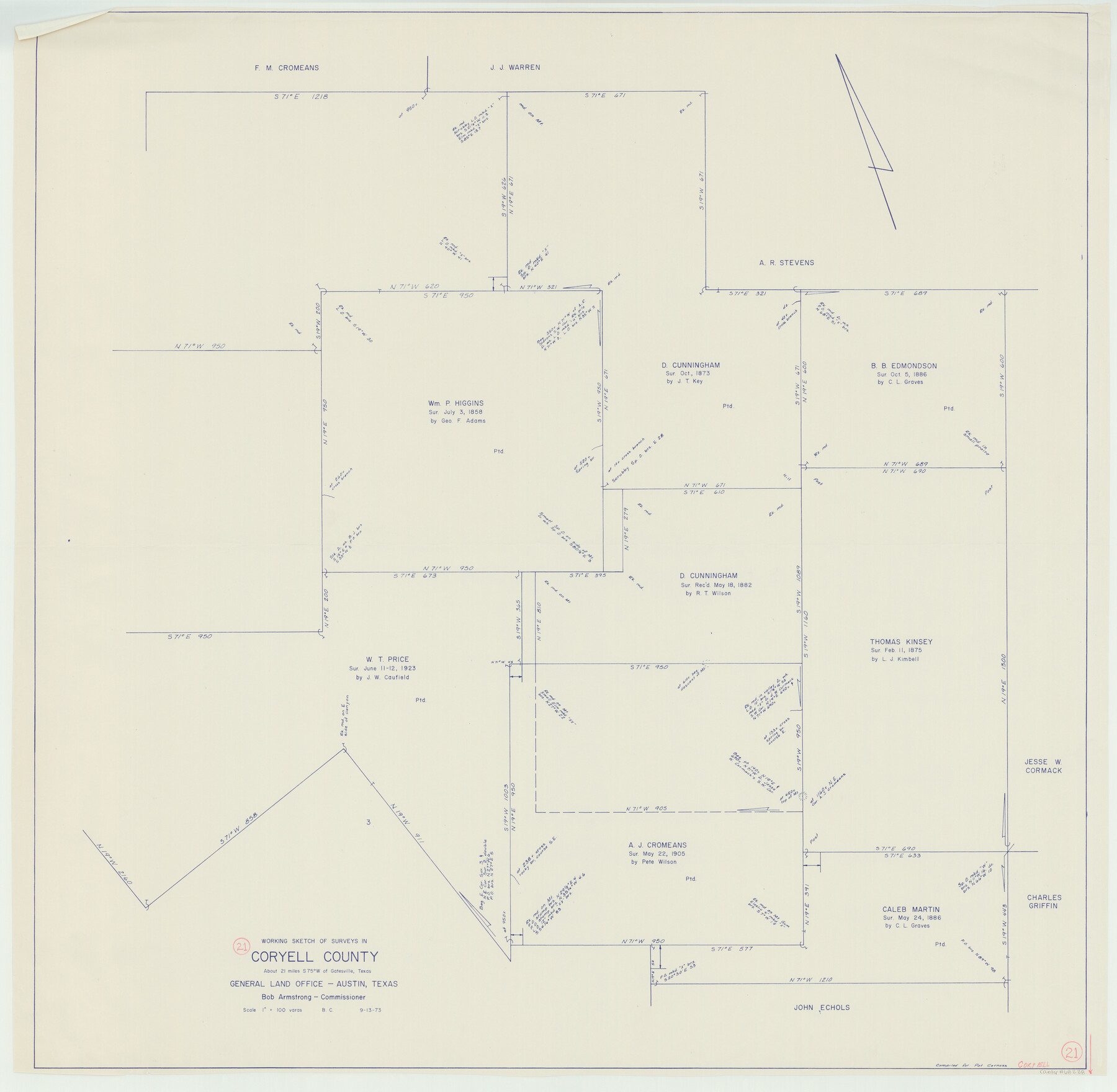
Coryell County Working Sketch 21
-
Map/Doc
68228
-
Collection
General Map Collection
-
Object Dates
9/13/1973 (Creation Date)
-
People and Organizations
Beverly Christian (Draftsman)
-
Counties
Coryell
-
Subjects
Surveying Working Sketch
-
Height x Width
37.0 x 37.8 inches
94.0 x 96.0 cm
-
Scale
1" = 100 varas
Part of: General Map Collection
El Paso County Rolled Sketch 52

Print $20.00
- Digital $50.00
El Paso County Rolled Sketch 52
1929
Size 18.5 x 24.3 inches
Map/Doc 5849
Wise County Working Sketch 19

Print $20.00
- Digital $50.00
Wise County Working Sketch 19
1978
Size 28.6 x 32.5 inches
Map/Doc 72633

McLennan County Sketch File 7a

Print $4.00
- Digital $50.00
McLennan County Sketch File 7a
1850
Size 10.3 x 7.4 inches
Map/Doc 31246
Permanent Lakes and Marshes in Calhoun, Victoria and Jackson Cos. for Mineral Development

Print $20.00
- Digital $50.00
Permanent Lakes and Marshes in Calhoun, Victoria and Jackson Cos. for Mineral Development
1937
Size 36.9 x 38.9 inches
Map/Doc 2973
Kleberg County Working Sketch 1

Print $20.00
- Digital $50.00
Kleberg County Working Sketch 1
1925
Size 21.9 x 43.8 inches
Map/Doc 70242
Robertson County Working Sketch 4

Print $20.00
- Digital $50.00
Robertson County Working Sketch 4
1979
Size 19.5 x 32.1 inches
Map/Doc 63577
Nueces County Sketch File 30

Print $3.00
- Digital $50.00
Nueces County Sketch File 30
1907
Size 11.4 x 11.9 inches
Map/Doc 32600
Port of Corpus Christi Inner Harbor Industrial District, Nueces County Navigation District Number One

Print $40.00
- Digital $50.00
Port of Corpus Christi Inner Harbor Industrial District, Nueces County Navigation District Number One
1972
Size 43.6 x 101.3 inches
Map/Doc 78635
Flight Mission No. DIX-7P, Frame 14, Aransas County

Print $20.00
- Digital $50.00
Flight Mission No. DIX-7P, Frame 14, Aransas County
1956
Size 18.8 x 22.6 inches
Map/Doc 83866
Township 10 North Range 14 West, North Western District, Louisiana

Print $20.00
- Digital $50.00
Township 10 North Range 14 West, North Western District, Louisiana
1854
Size 19.5 x 24.5 inches
Map/Doc 65872
Terrell County Working Sketch 36

Print $20.00
- Digital $50.00
Terrell County Working Sketch 36
1948
Size 26.8 x 39.9 inches
Map/Doc 62129
You may also like
Fisher County Working Sketch 8

Print $20.00
- Digital $50.00
Fisher County Working Sketch 8
1946
Size 42.5 x 37.3 inches
Map/Doc 69142
Fannin County, Texas

Print $20.00
- Digital $50.00
Fannin County, Texas
1870
Size 22.7 x 18.8 inches
Map/Doc 725
Map of Llano County, Texas

Print $20.00
- Digital $50.00
Map of Llano County, Texas
1879
Size 24.6 x 22.9 inches
Map/Doc 568
Map of New York and Adjacent Cities

Print $20.00
- Digital $50.00
Map of New York and Adjacent Cities
1860
Size 17.8 x 28.7 inches
Map/Doc 94439
Erath County Sketch File 35

Print $8.00
- Digital $50.00
Erath County Sketch File 35
1992
Size 14.5 x 8.8 inches
Map/Doc 22326
Pecos County Rolled Sketch 22

Print $20.00
- Digital $50.00
Pecos County Rolled Sketch 22
1886
Size 22.5 x 39.5 inches
Map/Doc 9687
Flight Mission No. BQY-4M, Frame 69, Harris County

Print $20.00
- Digital $50.00
Flight Mission No. BQY-4M, Frame 69, Harris County
1953
Size 18.6 x 22.4 inches
Map/Doc 85278
Flight Mission No. DQN-2K, Frame 140, Calhoun County

Print $20.00
- Digital $50.00
Flight Mission No. DQN-2K, Frame 140, Calhoun County
1953
Size 17.2 x 15.9 inches
Map/Doc 84309
Austin, State Capital of Texas

Digital $50.00
Austin, State Capital of Texas
1887
Size 23.0 x 32.1 inches
Map/Doc 90092
Flight Mission No. DAG-23K, Frame 152, Matagorda County

Print $20.00
- Digital $50.00
Flight Mission No. DAG-23K, Frame 152, Matagorda County
1953
Size 15.9 x 15.9 inches
Map/Doc 86500
Hays County Boundary File 4

Print $4.00
- Digital $50.00
Hays County Boundary File 4
Size 5.1 x 8.9 inches
Map/Doc 54607
Sutton County Sketch File JAC

Print $20.00
- Digital $50.00
Sutton County Sketch File JAC
Size 24.5 x 23.4 inches
Map/Doc 12398