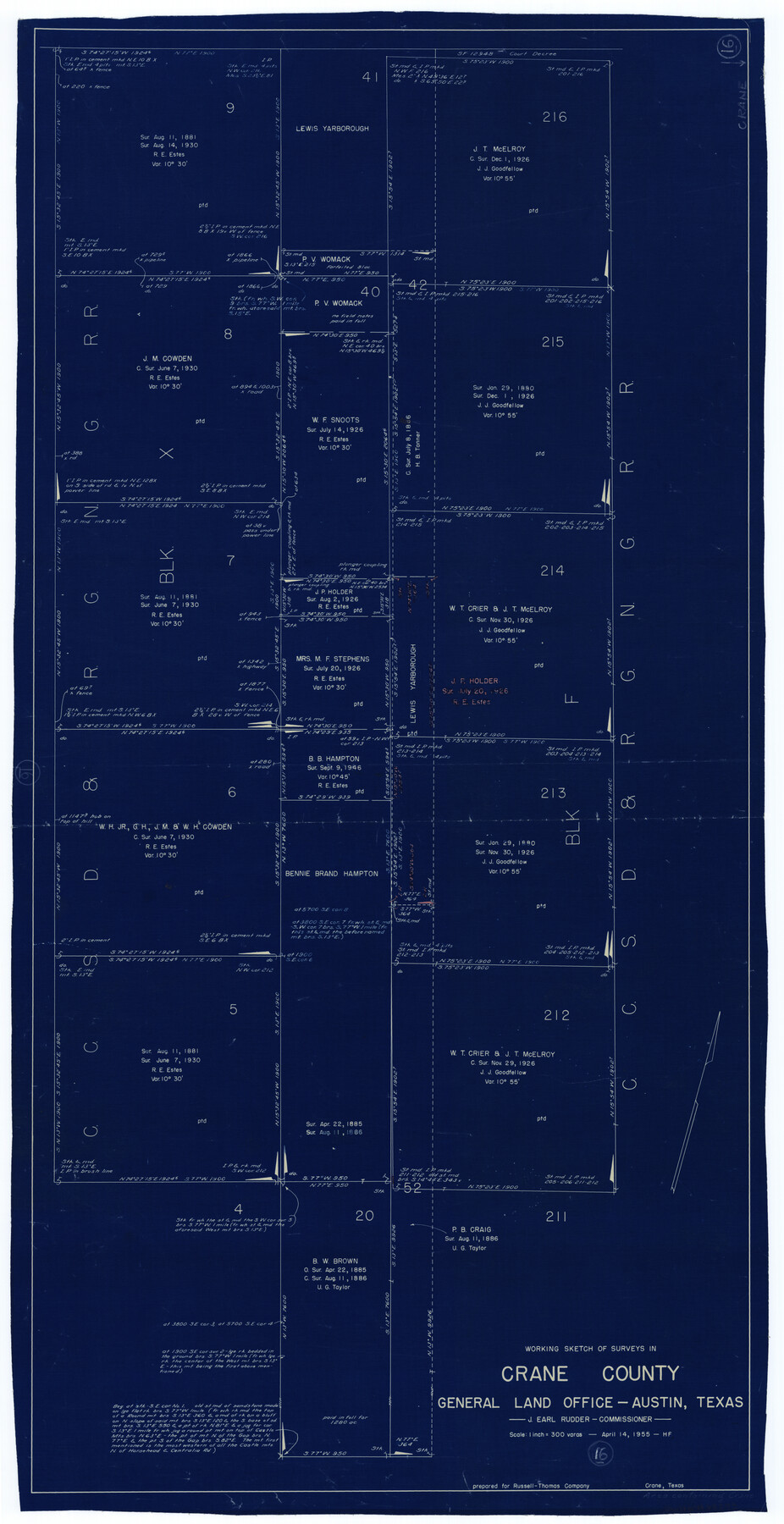
Crane County Working Sketch 16
-
Map/Doc
68293
-
Collection
General Map Collection
-
Object Dates
4/14/1955 (Creation Date)
-
People and Organizations
Herman Forbes (Draftsman)
-
Counties
Crane
-
Subjects
Surveying Working Sketch
-
Height x Width
42.8 x 22.0 inches
108.7 x 55.9 cm
-
Scale
1" = 300 varas
Part of: General Map Collection
Limestone County Sketch File 10a

Print $22.00
- Digital $50.00
Limestone County Sketch File 10a
Size 12.5 x 15.8 inches
Map/Doc 30173
Val Verde County Sketch File A1

Print $6.00
- Digital $50.00
Val Verde County Sketch File A1
1895
Size 14.4 x 9.2 inches
Map/Doc 39038
Duval County Sketch File 43

Print $20.00
- Digital $50.00
Duval County Sketch File 43
Size 22.9 x 21.1 inches
Map/Doc 11398
Nueces County Rolled Sketch 101

Print $88.00
Nueces County Rolled Sketch 101
1985
Size 18.2 x 24.6 inches
Map/Doc 7061
Andrews County Sketch File 12

Print $8.00
- Digital $50.00
Andrews County Sketch File 12
1963
Size 11.1 x 8.5 inches
Map/Doc 12857
Runnels County Rolled Sketch 40

Print $20.00
- Digital $50.00
Runnels County Rolled Sketch 40
Size 32.3 x 38.9 inches
Map/Doc 7528
Karnes County Sketch File 4

Print $8.00
- Digital $50.00
Karnes County Sketch File 4
1852
Size 5.5 x 6.8 inches
Map/Doc 28550
Medina County Working Sketch 13

Print $20.00
- Digital $50.00
Medina County Working Sketch 13
1972
Size 31.5 x 39.0 inches
Map/Doc 70928
Gaines County Rolled Sketch 30

Print $20.00
- Digital $50.00
Gaines County Rolled Sketch 30
1962
Size 19.4 x 26.3 inches
Map/Doc 5943
The Dividing Link - Mexico & Central America

The Dividing Link - Mexico & Central America
Size 20.5 x 31.2 inches
Map/Doc 95941
Wheeler County Working Sketch 9

Print $40.00
- Digital $50.00
Wheeler County Working Sketch 9
1973
Size 77.6 x 32.1 inches
Map/Doc 72498
Zapata County Sketch File 2

Print $20.00
- Digital $50.00
Zapata County Sketch File 2
1875
Size 24.3 x 32.8 inches
Map/Doc 12718
You may also like
Baylor County Sketch File A8

Print $4.00
- Digital $50.00
Baylor County Sketch File A8
1899
Size 14.1 x 8.7 inches
Map/Doc 14094
Flight Mission No. BRE-2P, Frame 72, Nueces County

Print $20.00
- Digital $50.00
Flight Mission No. BRE-2P, Frame 72, Nueces County
1956
Size 18.5 x 22.2 inches
Map/Doc 86767

Throckmorton County Boundary File 6

Print $6.00
- Digital $50.00
Throckmorton County Boundary File 6
Size 11.4 x 8.9 inches
Map/Doc 59292
Plano del Distrilo de Rio Grande Estado de Coahuila

Print $20.00
- Digital $50.00
Plano del Distrilo de Rio Grande Estado de Coahuila
1906
Size 30.3 x 31.5 inches
Map/Doc 1941
[Beaumont, Sour Lake and Western Ry. Right of Way and Alignment - Frisco]
![64130, [Beaumont, Sour Lake and Western Ry. Right of Way and Alignment - Frisco], General Map Collection](https://historictexasmaps.com/wmedia_w700/maps/64130.tif.jpg)
Print $20.00
- Digital $50.00
[Beaumont, Sour Lake and Western Ry. Right of Way and Alignment - Frisco]
1910
Size 20.3 x 45.9 inches
Map/Doc 64130
Motley County

Print $20.00
- Digital $50.00
Motley County
1914
Size 47.7 x 37.4 inches
Map/Doc 10797
Flight Mission No. CUG-1P, Frame 169, Kleberg County

Print $20.00
- Digital $50.00
Flight Mission No. CUG-1P, Frame 169, Kleberg County
1956
Size 18.6 x 22.4 inches
Map/Doc 86176
Blocks T1, T2, T3, S3, A, O5, and Capitol Leagues]
![91074, Blocks T1, T2, T3, S3, A, O5, and Capitol Leagues], Twichell Survey Records](https://historictexasmaps.com/wmedia_w700/maps/91074-1.tif.jpg)
Print $20.00
- Digital $50.00
Blocks T1, T2, T3, S3, A, O5, and Capitol Leagues]
Size 30.0 x 33.4 inches
Map/Doc 91074

Runnels County Sketch File 16

Print $20.00
Runnels County Sketch File 16
1879
Size 17.0 x 9.1 inches
Map/Doc 35470
Motley County Working Sketch 6

Print $20.00
- Digital $50.00
Motley County Working Sketch 6
1963
Size 17.6 x 29.3 inches
Map/Doc 71211