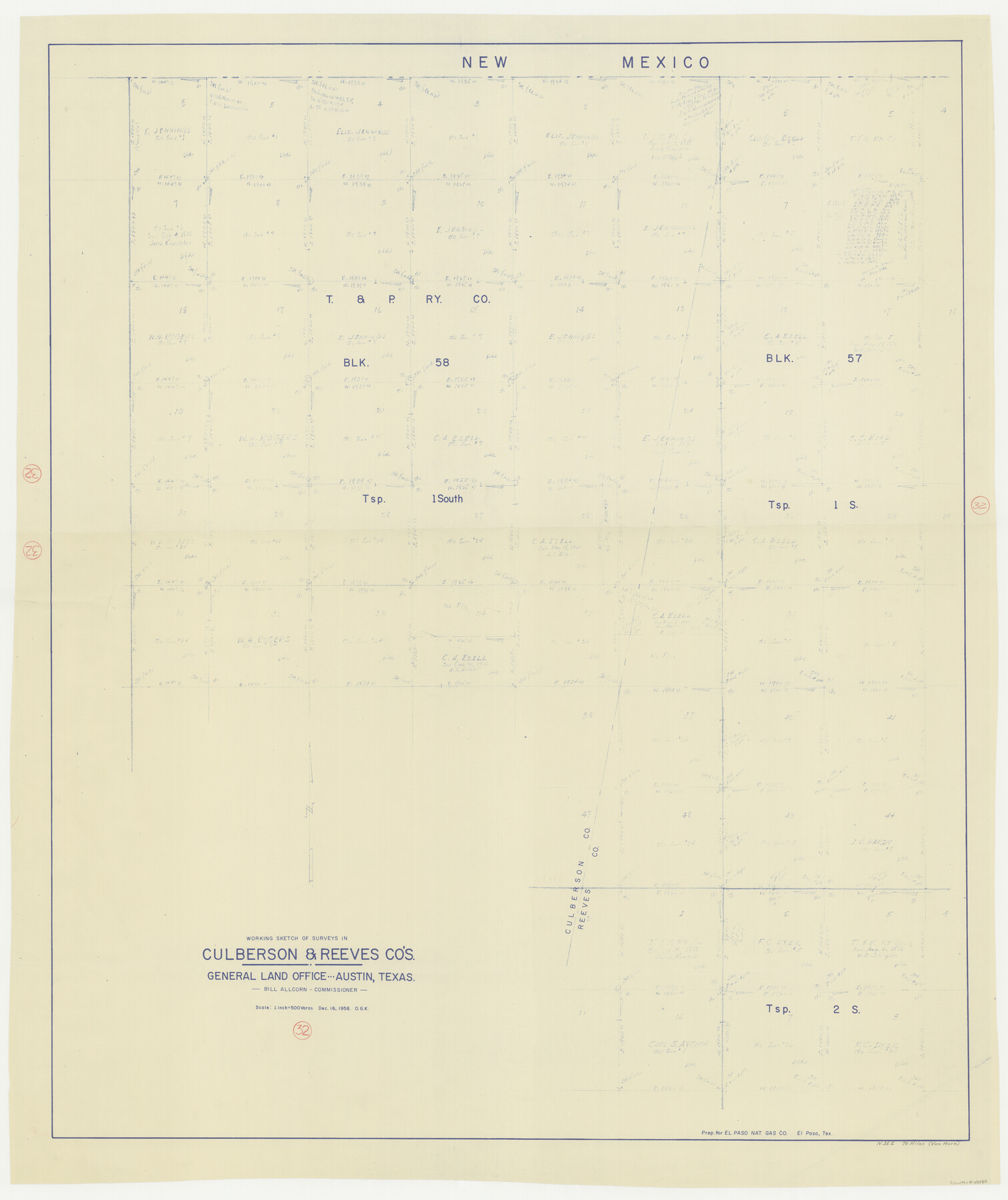
Culberson County Working Sketch 32
-
Map/Doc
68485
-
Collection
General Map Collection
-
Object Dates
12/16/1958 (Creation Date)
-
People and Organizations
Otto G. Kurio (Draftsman)
-
Counties
Culberson Reeves
-
Subjects
Surveying Working Sketch
-
Height x Width
45.3 x 38.0 inches
115.1 x 96.5 cm
-
Scale
1" = 500 varas
Part of: General Map Collection
Flight Mission No. CUG-1P, Frame 5, Kleberg County

Print $20.00
- Digital $50.00
Flight Mission No. CUG-1P, Frame 5, Kleberg County
1956
Size 18.8 x 22.5 inches
Map/Doc 86108
Map of Refugio District

Print $20.00
- Digital $50.00
Map of Refugio District
1850
Size 22.6 x 25.1 inches
Map/Doc 1959
Caldwell County Working Sketch 10

Print $40.00
- Digital $50.00
Caldwell County Working Sketch 10
1977
Size 46.2 x 50.5 inches
Map/Doc 67840
Howard County Rolled Sketch 12

Print $20.00
- Digital $50.00
Howard County Rolled Sketch 12
Size 25.8 x 16.5 inches
Map/Doc 6243
Kent County Boundary File 7

Print $6.00
- Digital $50.00
Kent County Boundary File 7
Size 10.8 x 8.7 inches
Map/Doc 55870
Flight Mission No. DAG-21K, Frame 126, Matagorda County

Print $20.00
- Digital $50.00
Flight Mission No. DAG-21K, Frame 126, Matagorda County
1952
Size 18.5 x 22.3 inches
Map/Doc 86452
McCulloch County Sketch File 11

Print $14.00
- Digital $50.00
McCulloch County Sketch File 11
1929
Size 11.2 x 8.8 inches
Map/Doc 31191
Hall County Rolled Sketch C

Print $20.00
- Digital $50.00
Hall County Rolled Sketch C
1902
Size 32.7 x 46.4 inches
Map/Doc 76023
Harrison County Working Sketch 4

Print $20.00
- Digital $50.00
Harrison County Working Sketch 4
1945
Size 17.8 x 15.4 inches
Map/Doc 66024
Cooke County Sketch File 26

Print $4.00
- Digital $50.00
Cooke County Sketch File 26
1872
Size 5.9 x 8.2 inches
Map/Doc 19277
Van Zandt County Sketch File 39

Print $6.00
- Digital $50.00
Van Zandt County Sketch File 39
1871
Size 10.8 x 13.4 inches
Map/Doc 39484

You may also like
[F. W. & D. C. Ry. Co. Alignment and Right of Way Map, Clay County]
![64743, [F. W. & D. C. Ry. Co. Alignment and Right of Way Map, Clay County], General Map Collection](https://historictexasmaps.com/wmedia_w700/maps/64743-GC.tif.jpg)
Print $20.00
- Digital $50.00
[F. W. & D. C. Ry. Co. Alignment and Right of Way Map, Clay County]
1927
Size 18.6 x 11.8 inches
Map/Doc 64743
Jeff Davis County Rolled Sketch 38

Print $20.00
- Digital $50.00
Jeff Davis County Rolled Sketch 38
1994
Size 26.1 x 35.1 inches
Map/Doc 6381
Portion of Culberson County, Texas

Print $20.00
- Digital $50.00
Portion of Culberson County, Texas
1948
Size 30.9 x 33.0 inches
Map/Doc 92556
Reeves County Working Sketch 9

Print $20.00
- Digital $50.00
Reeves County Working Sketch 9
1948
Size 19.0 x 24.0 inches
Map/Doc 63452
Jasper County Boundary File 2

Print $58.00
- Digital $50.00
Jasper County Boundary File 2
Size 9.0 x 8.0 inches
Map/Doc 55469
Bell County Rolled Sketch 2

Print $20.00
- Digital $50.00
Bell County Rolled Sketch 2
1954
Size 27.0 x 28.0 inches
Map/Doc 5133
Jackson County Sketch File 30

Print $52.00
- Digital $50.00
Jackson County Sketch File 30
1944
Size 14.2 x 8.5 inches
Map/Doc 27730
Flight Mission No. BRA-8M, Frame 122, Jefferson County

Print $20.00
- Digital $50.00
Flight Mission No. BRA-8M, Frame 122, Jefferson County
1953
Size 18.5 x 22.4 inches
Map/Doc 85618
Right of Way and Track Map, The Missouri, Kansas and Texas Ry. of Texas operated by the Missouri, Kansas and Texas Ry. of Texas, Henrietta Division

Print $40.00
- Digital $50.00
Right of Way and Track Map, The Missouri, Kansas and Texas Ry. of Texas operated by the Missouri, Kansas and Texas Ry. of Texas, Henrietta Division
1918
Size 24.8 x 56.3 inches
Map/Doc 64069
Tom Green County Sketch File 13

Print $4.00
- Digital $50.00
Tom Green County Sketch File 13
Size 6.3 x 8.4 inches
Map/Doc 38170
Guadalupe County Sketch File 3a

Print $4.00
- Digital $50.00
Guadalupe County Sketch File 3a
1849
Size 10.7 x 8.2 inches
Map/Doc 24652
Coryell County Sketch File 2

Print $4.00
- Digital $50.00
Coryell County Sketch File 2
Size 13.0 x 8.0 inches
Map/Doc 19338