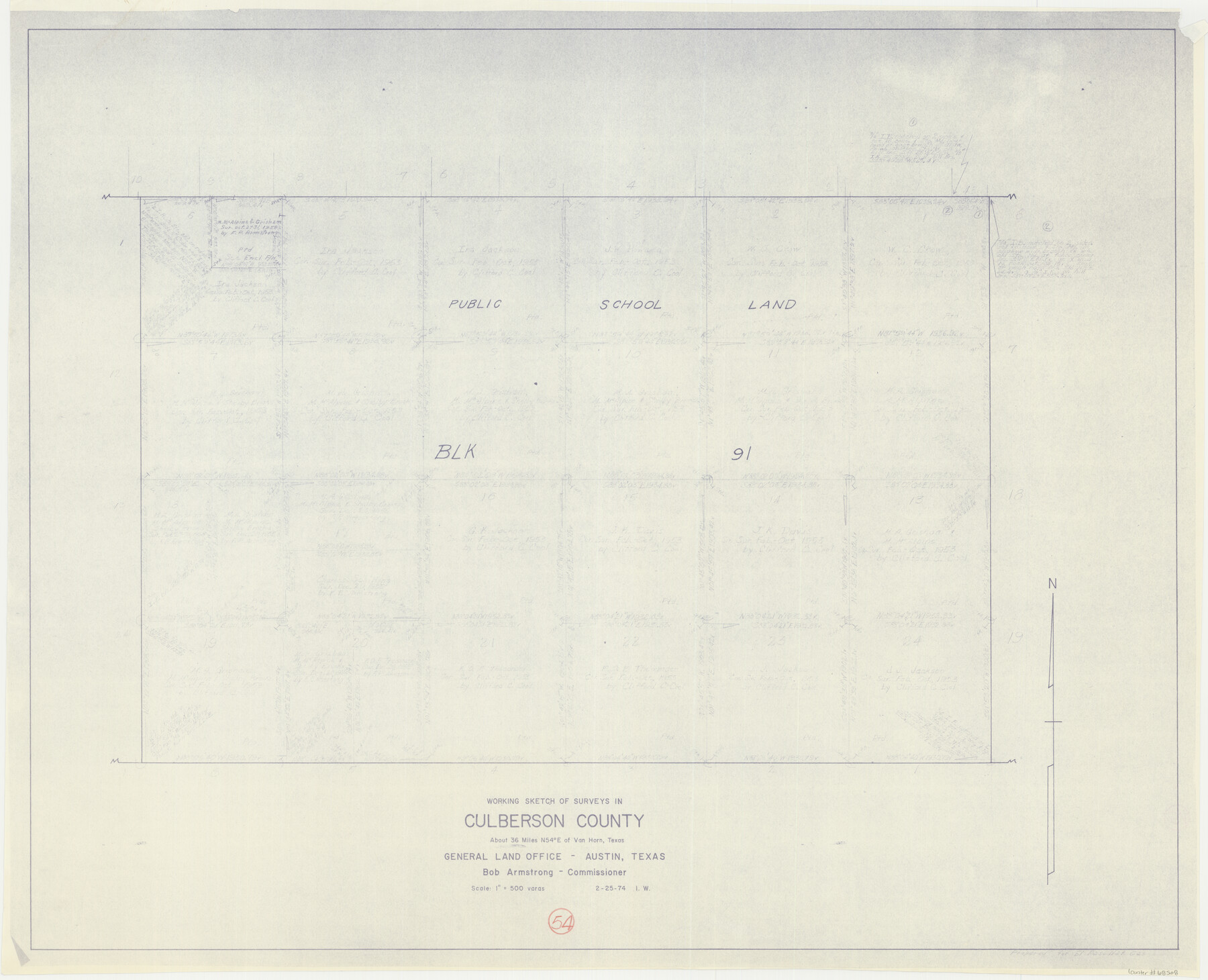
Culberson County Working Sketch 54
-
Map/Doc
68508
-
Collection
General Map Collection
-
Object Dates
2/25/1974 (Creation Date)
-
Counties
Culberson
-
Subjects
Surveying Working Sketch
-
Height x Width
26.4 x 32.6 inches
67.1 x 82.8 cm
-
Scale
1" = 500 varas
Part of: General Map Collection
Rusk County Working Sketch 7

Print $20.00
- Digital $50.00
Rusk County Working Sketch 7
1982
Size 22.3 x 36.7 inches
Map/Doc 63642
Outer Continental Shelf Leasing Maps (Texas Offshore Operations)

Print $20.00
- Digital $50.00
Outer Continental Shelf Leasing Maps (Texas Offshore Operations)
Size 24.0 x 18.4 inches
Map/Doc 75853
Motley County

Print $20.00
- Digital $50.00
Motley County
1914
Size 47.8 x 37.9 inches
Map/Doc 66947
Upton County Sketch File 16

Print $4.00
- Digital $50.00
Upton County Sketch File 16
1926
Size 11.4 x 8.8 inches
Map/Doc 38873
Plat showing proposed counties to be taken from Zapata, Starr & Hidalgo Counties

Print $20.00
- Digital $50.00
Plat showing proposed counties to be taken from Zapata, Starr & Hidalgo Counties
1911
Size 24.8 x 27.0 inches
Map/Doc 2478
Stonewall County Sketch File 14

Print $20.00
- Digital $50.00
Stonewall County Sketch File 14
1901
Size 21.5 x 18.3 inches
Map/Doc 12366
San Augustine County Sketch File 22

Print $4.00
San Augustine County Sketch File 22
Size 12.8 x 8.4 inches
Map/Doc 35687
Runnels County Sketch File 41

Print $20.00
Runnels County Sketch File 41
1892
Size 22.8 x 25.7 inches
Map/Doc 12271
Frio County Sketch File 14

Print $8.00
- Digital $50.00
Frio County Sketch File 14
1949
Size 11.2 x 8.7 inches
Map/Doc 23141
Matagorda County NRC Article 33.136 Sketch 5

Print $28.00
- Digital $50.00
Matagorda County NRC Article 33.136 Sketch 5
2009
Size 24.2 x 35.0 inches
Map/Doc 95006
Cochran County Sketch File A

Print $20.00
- Digital $50.00
Cochran County Sketch File A
1923
Size 21.2 x 12.5 inches
Map/Doc 11102
Brewster County Working Sketch 118

Print $20.00
- Digital $50.00
Brewster County Working Sketch 118
1929
Size 27.0 x 20.5 inches
Map/Doc 67718
You may also like
[Sketch of Surveys in Brooks County, Texas]
![10775, [Sketch of Surveys in Brooks County, Texas], Maddox Collection](https://historictexasmaps.com/wmedia_w700/maps/10775.tif.jpg)
Print $20.00
- Digital $50.00
[Sketch of Surveys in Brooks County, Texas]
Size 12.1 x 12.4 inches
Map/Doc 10775
Fort Bend County Rolled Sketch 5

Print $20.00
- Digital $50.00
Fort Bend County Rolled Sketch 5
1956
Size 34.6 x 33.5 inches
Map/Doc 5895
Calhoun County Working Sketch 10

Print $20.00
- Digital $50.00
Calhoun County Working Sketch 10
1951
Size 36.8 x 37.2 inches
Map/Doc 67826
Matagorda Light to Aransas Pass

Print $20.00
- Digital $50.00
Matagorda Light to Aransas Pass
1981
Size 36.6 x 44.5 inches
Map/Doc 73402

Power and Hewetson Empresario Colony. April 2, 1829

Print $20.00
Power and Hewetson Empresario Colony. April 2, 1829
2020
Size 17.5 x 21.6 inches
Map/Doc 96004
Sherman County Boundary File 2a

Print $10.00
- Digital $50.00
Sherman County Boundary File 2a
Size 12.9 x 8.9 inches
Map/Doc 58768
Hutchinson County Sketch File 17

Print $4.00
- Digital $50.00
Hutchinson County Sketch File 17
Size 6.9 x 8.8 inches
Map/Doc 27218
Jackson County Sketch File 10x

Print $40.00
- Digital $50.00
Jackson County Sketch File 10x
1914
Size 13.8 x 12.0 inches
Map/Doc 27656
Ector County Rolled Sketch CE

Print $20.00
- Digital $50.00
Ector County Rolled Sketch CE
1928
Size 34.0 x 45.2 inches
Map/Doc 8832
Live Oak County Rolled Sketch 5

Print $20.00
- Digital $50.00
Live Oak County Rolled Sketch 5
1947
Size 33.6 x 32.2 inches
Map/Doc 9454
Flight Mission No. DIX-3P, Frame 164, Aransas County

Print $20.00
- Digital $50.00
Flight Mission No. DIX-3P, Frame 164, Aransas County
1956
Size 17.8 x 18.0 inches
Map/Doc 83770