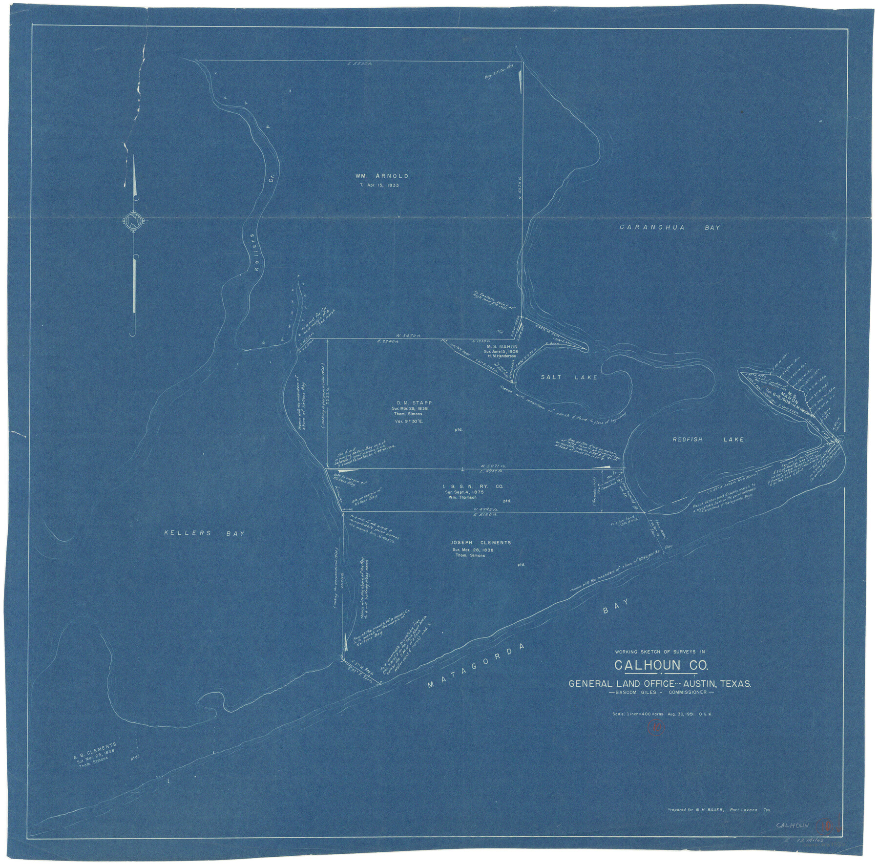
Calhoun County Working Sketch 10
-
Map/Doc
67826
-
Collection
General Map Collection
-
Object Dates
8/30/1951 (Creation Date)
-
People and Organizations
Otto G. Kurio (Draftsman)
-
Counties
Calhoun
-
Subjects
Surveying Working Sketch
-
Height x Width
36.8 x 37.2 inches
93.5 x 94.5 cm
-
Scale
1" = 400 varas
Part of: General Map Collection
Donley County Rolled Sketch 4

Print $20.00
- Digital $50.00
Donley County Rolled Sketch 4
1972
Size 16.0 x 17.4 inches
Map/Doc 5731
Fort Bend County Rolled Sketch P

Print $20.00
- Digital $50.00
Fort Bend County Rolled Sketch P
Size 16.6 x 11.2 inches
Map/Doc 5907
Nueces County Rolled Sketch 80

Print $58.00
Nueces County Rolled Sketch 80
1982
Size 24.2 x 36.7 inches
Map/Doc 6952
Gaines County Rolled Sketch 14C

Print $40.00
- Digital $50.00
Gaines County Rolled Sketch 14C
1940
Size 85.0 x 23.2 inches
Map/Doc 9034
Current Miscellaneous File 64

Print $12.00
- Digital $50.00
Current Miscellaneous File 64
1954
Size 10.8 x 8.5 inches
Map/Doc 74103
Lamb County Sketch File 16

Print $4.00
- Digital $50.00
Lamb County Sketch File 16
1929
Size 11.2 x 8.8 inches
Map/Doc 29379
Angelina County Sketch File 25

Print $8.00
- Digital $50.00
Angelina County Sketch File 25
1894
Size 7.0 x 10.2 inches
Map/Doc 13069
Flight Mission No. BRA-9M, Frame 70, Jefferson County

Print $20.00
- Digital $50.00
Flight Mission No. BRA-9M, Frame 70, Jefferson County
1953
Size 18.6 x 22.5 inches
Map/Doc 85653
Sutton County Sketch File 41

Print $4.00
- Digital $50.00
Sutton County Sketch File 41
1940
Size 14.4 x 8.6 inches
Map/Doc 37507
Crockett County Working Sketch 72

Print $20.00
- Digital $50.00
Crockett County Working Sketch 72
1963
Size 43.9 x 38.5 inches
Map/Doc 68405
Kimble County Rolled Sketch 31

Print $20.00
- Digital $50.00
Kimble County Rolled Sketch 31
Size 21.1 x 27.4 inches
Map/Doc 6521
Map of Bexar County

Print $40.00
- Digital $50.00
Map of Bexar County
1845
Size 48.8 x 43.0 inches
Map/Doc 87237
You may also like
Red River County Working Sketch 3

Print $20.00
- Digital $50.00
Red River County Working Sketch 3
1919
Size 14.2 x 12.8 inches
Map/Doc 71986
Henderson County Working Sketch 26

Print $20.00
- Digital $50.00
Henderson County Working Sketch 26
1954
Size 23.8 x 23.5 inches
Map/Doc 66159

San Patricio County Rolled Sketch 47A

Print $20.00
- Digital $50.00
San Patricio County Rolled Sketch 47A
1939
Size 27.7 x 28.5 inches
Map/Doc 7732
Map Showing Showing San Antonio & Aransas Pass Railway from San Antonio to Wilson County Line

Print $40.00
- Digital $50.00
Map Showing Showing San Antonio & Aransas Pass Railway from San Antonio to Wilson County Line
Size 25.8 x 101.6 inches
Map/Doc 64283
Plat of survey in the North West portion of the Ramsey State Farm

Print $20.00
- Digital $50.00
Plat of survey in the North West portion of the Ramsey State Farm
1942
Size 25.9 x 30.4 inches
Map/Doc 94282
Real County Rolled Sketch 3

Print $20.00
- Digital $50.00
Real County Rolled Sketch 3
1955
Size 14.6 x 23.3 inches
Map/Doc 7453
Wilbarger County Working Sketch 12

Print $20.00
- Digital $50.00
Wilbarger County Working Sketch 12
1953
Size 42.2 x 33.5 inches
Map/Doc 72550
Morris County Rolled Sketch 2A

Print $20.00
- Digital $50.00
Morris County Rolled Sketch 2A
Size 24.5 x 19.4 inches
Map/Doc 10248
Matagorda County Rolled Sketch 37A

Print $40.00
- Digital $50.00
Matagorda County Rolled Sketch 37A
Size 48.7 x 41.1 inches
Map/Doc 10195
Flight Mission No. BQR-4K, Frame 66, Brazoria County

Print $20.00
- Digital $50.00
Flight Mission No. BQR-4K, Frame 66, Brazoria County
1952
Size 18.8 x 22.5 inches
Map/Doc 83999
