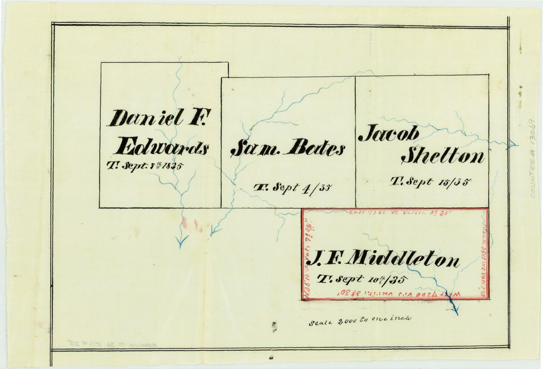
Angelina County Sketch File 25
[Plat and field notes of a resurvey of the J.F. Middleton titled survey]
-
Map/Doc
13069
-
Collection
General Map Collection
-
Object Dates
1894/12/3 (Creation Date)
1895/1/3 (File Date)
-
People and Organizations
Lambert Crane (Chainman)
J.T. Crane (Chainman)
James Gibson (Surveyor/Engineer)
-
Counties
Angelina
-
Subjects
Surveying Sketch File
-
Height x Width
7.0 x 10.2 inches
17.8 x 25.9 cm
-
Medium
paper, manuscript
Part of: General Map Collection
Hamilton County Sketch File 9

Print $6.00
- Digital $50.00
Hamilton County Sketch File 9
1874
Size 12.1 x 8.2 inches
Map/Doc 24916
Flight Mission No. DCL-7C, Frame 146, Kenedy County

Print $20.00
- Digital $50.00
Flight Mission No. DCL-7C, Frame 146, Kenedy County
1943
Size 18.8 x 22.4 inches
Map/Doc 86103
Blanco County Boundary File 1

Print $20.00
- Digital $50.00
Blanco County Boundary File 1
Size 11.6 x 23.1 inches
Map/Doc 50539
Burnet County Sketch File 16

Print $40.00
- Digital $50.00
Burnet County Sketch File 16
Size 15.8 x 12.8 inches
Map/Doc 16704
Hays County Sketch File 19a

Print $39.00
- Digital $50.00
Hays County Sketch File 19a
1894
Size 19.4 x 28.6 inches
Map/Doc 11749
Dimmit County Sketch File 11

Print $12.00
- Digital $50.00
Dimmit County Sketch File 11
1880
Size 12.9 x 8.2 inches
Map/Doc 21075
Sutton County Sketch File 49

Print $6.00
- Digital $50.00
Sutton County Sketch File 49
Size 13.6 x 8.9 inches
Map/Doc 37523
Edwards County Working Sketch 33

Print $40.00
- Digital $50.00
Edwards County Working Sketch 33
1947
Size 42.6 x 50.2 inches
Map/Doc 68909
Webb County Sketch File EF

Print $38.00
- Digital $50.00
Webb County Sketch File EF
1932
Size 9.2 x 8.5 inches
Map/Doc 39681
Lampasas County

Print $20.00
- Digital $50.00
Lampasas County
1972
Size 34.4 x 43.4 inches
Map/Doc 73214
North Sulphur River, Ben Franklin Sheet

Print $20.00
- Digital $50.00
North Sulphur River, Ben Franklin Sheet
1928
Size 14.2 x 30.0 inches
Map/Doc 78324
Map of San Marcos

Print $20.00
- Digital $50.00
Map of San Marcos
1942
Size 27.4 x 21.6 inches
Map/Doc 2211
You may also like
Map of the route of B'vt. Maj. A. Moore's scout, April 11th to June 12th 1869

Print $20.00
Map of the route of B'vt. Maj. A. Moore's scout, April 11th to June 12th 1869
1872
Size 23.6 x 40.9 inches
Map/Doc 93566
Texas, Aransas Bay, Copano Bay and St. Charles Bay

Print $40.00
- Digital $50.00
Texas, Aransas Bay, Copano Bay and St. Charles Bay
1934
Size 34.0 x 48.6 inches
Map/Doc 73434
Flight Mission No. DQO-1K, Frame 153, Galveston County

Print $20.00
- Digital $50.00
Flight Mission No. DQO-1K, Frame 153, Galveston County
1952
Size 18.8 x 22.5 inches
Map/Doc 85006
Presidio County Rolled Sketch MS

Print $20.00
- Digital $50.00
Presidio County Rolled Sketch MS
Size 35.9 x 19.0 inches
Map/Doc 7412
Jack County Boundary File 2

Print $48.00
- Digital $50.00
Jack County Boundary File 2
Size 14.3 x 8.8 inches
Map/Doc 55384
Limestone County Working Sketch 3

Print $20.00
- Digital $50.00
Limestone County Working Sketch 3
1919
Size 28.9 x 28.5 inches
Map/Doc 70553
Map of the Rio Grande Frontier, Texas, East of Fort McIntosh and South of the Mex. National RR.

Print $20.00
- Digital $50.00
Map of the Rio Grande Frontier, Texas, East of Fort McIntosh and South of the Mex. National RR.
1892
Size 26.1 x 39.8 inches
Map/Doc 4660
Wise County Working Sketch 3

Print $20.00
- Digital $50.00
Wise County Working Sketch 3
1946
Size 28.4 x 36.9 inches
Map/Doc 72617

Montgomery County Rolled Sketch 16

Print $20.00
- Digital $50.00
Montgomery County Rolled Sketch 16
Size 28.5 x 26.6 inches
Map/Doc 6804
Map of Tyler County

Print $20.00
- Digital $50.00
Map of Tyler County
1863
Size 21.0 x 22.3 inches
Map/Doc 4099
Flight Mission No. DQO-6K, Frame 33, Galveston County

Print $20.00
- Digital $50.00
Flight Mission No. DQO-6K, Frame 33, Galveston County
1952
Size 18.8 x 22.4 inches
Map/Doc 85099