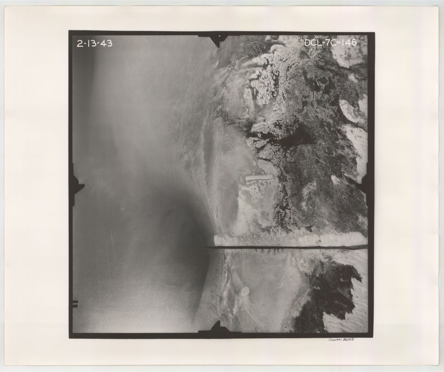
Flight Mission No. DCL-7C, Frame 146, Kenedy County
DCL-7C-146
-
Map/Doc
86103
-
Collection
General Map Collection
-
Object Dates
1943/2/13 (Creation Date)
-
People and Organizations
U. S. Department of Agriculture (Publisher)
-
Counties
Kenedy
-
Subjects
Aerial Photograph
-
Height x Width
18.8 x 22.4 inches
47.8 x 56.9 cm
-
Comments
Flown by Aerial Surveys of Pittsburgh, Inc. of Pittsburgh, Pennsylvania.
Part of: General Map Collection
San Patricio County Sketch File 27

Print $4.00
San Patricio County Sketch File 27
Size 14.5 x 8.8 inches
Map/Doc 36085
Port Aransas-Corpus Christi Waterway, Texas, Avery Point Turning Basin to Vicinity of Tule Lake - Dredging

Print $20.00
- Digital $50.00
Port Aransas-Corpus Christi Waterway, Texas, Avery Point Turning Basin to Vicinity of Tule Lake - Dredging
1947
Size 28.5 x 41.4 inches
Map/Doc 60301
Briscoe County

Print $20.00
- Digital $50.00
Briscoe County
1879
Size 24.8 x 21.7 inches
Map/Doc 3331
Dallas County Sketch File 13

Print $12.00
- Digital $50.00
Dallas County Sketch File 13
1866
Size 12.8 x 8.2 inches
Map/Doc 20422
Harrison County Working Sketch 3

Print $20.00
- Digital $50.00
Harrison County Working Sketch 3
1942
Size 43.8 x 19.0 inches
Map/Doc 66023
Brazoria County Rolled Sketch CL

Print $20.00
- Digital $50.00
Brazoria County Rolled Sketch CL
1934
Size 22.0 x 32.8 inches
Map/Doc 8463
Brazos Santiago, Texas

Print $20.00
- Digital $50.00
Brazos Santiago, Texas
1867
Size 25.6 x 18.2 inches
Map/Doc 72989
Denton County Working Sketch 16

Print $20.00
- Digital $50.00
Denton County Working Sketch 16
1973
Size 31.5 x 39.1 inches
Map/Doc 68621
Map of Ellis County

Print $20.00
- Digital $50.00
Map of Ellis County
1889
Size 38.9 x 47.7 inches
Map/Doc 4941
Clay County Sketch File 10

Print $4.00
- Digital $50.00
Clay County Sketch File 10
1860
Size 8.8 x 7.6 inches
Map/Doc 18406
Railroad Track Map, H&TCRRCo., Falls County, Texas

Print $4.00
- Digital $50.00
Railroad Track Map, H&TCRRCo., Falls County, Texas
1918
Size 11.8 x 18.4 inches
Map/Doc 62838
Harris County Working Sketch 48

Print $20.00
- Digital $50.00
Harris County Working Sketch 48
1943
Size 26.8 x 16.0 inches
Map/Doc 65940
You may also like
Grayson County Boundary File 35

Print $42.00
- Digital $50.00
Grayson County Boundary File 35
Size 9.3 x 7.9 inches
Map/Doc 53961
Kerr County Working Sketch 35

Print $20.00
- Digital $50.00
Kerr County Working Sketch 35
1981
Size 35.2 x 15.5 inches
Map/Doc 70066
Gaines County Working Sketch 27

Print $20.00
- Digital $50.00
Gaines County Working Sketch 27
Size 17.4 x 36.7 inches
Map/Doc 69327
Kinney County Working Sketch 28

Print $20.00
- Digital $50.00
Kinney County Working Sketch 28
1957
Size 33.3 x 34.4 inches
Map/Doc 70210
Revised map of Jefferson County, Texas showing land surveys, railroads and water ways

Print $20.00
- Digital $50.00
Revised map of Jefferson County, Texas showing land surveys, railroads and water ways
1898
Size 27.2 x 24.1 inches
Map/Doc 95912
King County Working Sketch 16

Print $40.00
- Digital $50.00
King County Working Sketch 16
1979
Size 41.4 x 59.4 inches
Map/Doc 70180
Brazos River Conservation and Reclamation District Official Boundary Line Survey

Print $20.00
- Digital $50.00
Brazos River Conservation and Reclamation District Official Boundary Line Survey
Size 37.1 x 24.7 inches
Map/Doc 90127
Nolan County Rolled Sketch 1

Print $20.00
- Digital $50.00
Nolan County Rolled Sketch 1
Size 27.8 x 21.5 inches
Map/Doc 6859
Val Verde County Boundary File 103

Print $82.00
- Digital $50.00
Val Verde County Boundary File 103
Size 9.1 x 9.1 inches
Map/Doc 59577
Presidio County Rolled Sketch MS

Print $20.00
- Digital $50.00
Presidio County Rolled Sketch MS
1910
Size 31.7 x 18.1 inches
Map/Doc 7411

Map No. 1 - Rio Bravo del Norte section of boundary between the United States & Mexico agreed upon by the Joint Commission under the Treaty of Guadalupe Hidalgo

Print $20.00
- Digital $50.00
Map No. 1 - Rio Bravo del Norte section of boundary between the United States & Mexico agreed upon by the Joint Commission under the Treaty of Guadalupe Hidalgo
1852
Size 18.2 x 27.2 inches
Map/Doc 72865