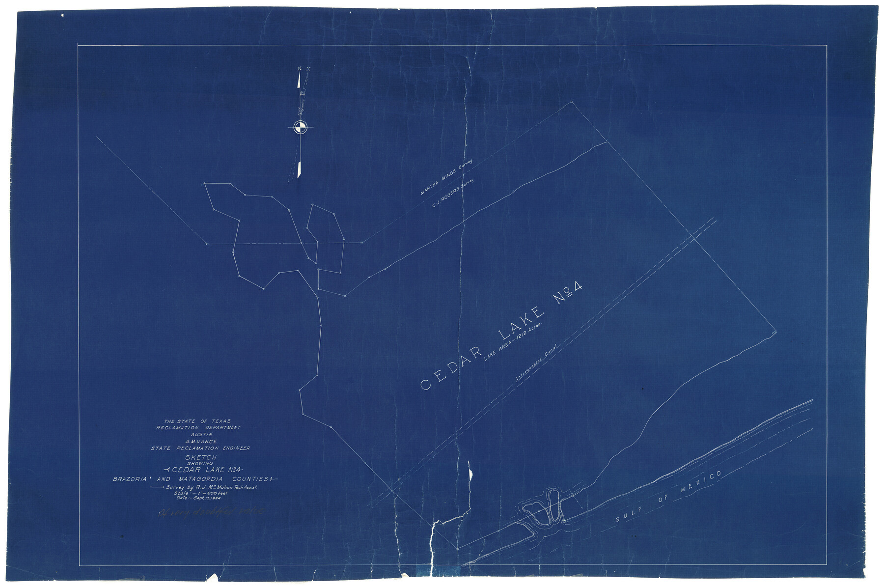
Brazoria County Rolled Sketch CL
Sketch showing Cedar Lake No. 4
-
Map/Doc
8463
-
Collection
General Map Collection
-
Object Dates
9/17/1934 (Creation Date)
-
People and Organizations
A.M. Vance (Surveyor/Engineer)
R.J. McMahon (Surveyor/Engineer)
-
Counties
Brazoria Matagorda
-
Subjects
Surveying Rolled Sketch
-
Height x Width
22.0 x 32.8 inches
55.9 x 83.3 cm
-
Medium
blueprint/diazo
-
Scale
1" = 600 feet
Part of: General Map Collection
Ochiltree County Boundary File 5

Print $54.00
- Digital $50.00
Ochiltree County Boundary File 5
Size 9.3 x 8.3 inches
Map/Doc 57684
Flight Mission No. CZW-3R, Frame 82

Print $20.00
- Digital $50.00
Flight Mission No. CZW-3R, Frame 82
1956
Size 18.6 x 22.3 inches
Map/Doc 85240
Calhoun County Working Sketch 2b

Print $20.00
- Digital $50.00
Calhoun County Working Sketch 2b
1913
Size 17.3 x 15.8 inches
Map/Doc 67818
Red River County Working Sketch 29

Print $20.00
- Digital $50.00
Red River County Working Sketch 29
1961
Size 29.5 x 33.3 inches
Map/Doc 72012
Flight Mission No. DIX-6P, Frame 117, Aransas County

Print $20.00
- Digital $50.00
Flight Mission No. DIX-6P, Frame 117, Aransas County
1956
Size 19.2 x 22.8 inches
Map/Doc 83823
Flight Mission No. CLL-3N, Frame 42, Willacy County

Print $20.00
- Digital $50.00
Flight Mission No. CLL-3N, Frame 42, Willacy County
1954
Size 18.5 x 22.1 inches
Map/Doc 87100
Orange County Working Sketch 54a

Print $40.00
- Digital $50.00
Orange County Working Sketch 54a
2008
Size 22.9 x 48.0 inches
Map/Doc 88742
Borden County Sketch File 4

Print $24.00
- Digital $50.00
Borden County Sketch File 4
1903
Size 8.8 x 7.8 inches
Map/Doc 14707
San Patricio County Rolled Sketch 20

Print $20.00
- Digital $50.00
San Patricio County Rolled Sketch 20
1920
Size 27.7 x 31.9 inches
Map/Doc 7577
A Map of the Republic of Texas and the adjacent territories, indicating the grants of land conceded under the empresario system of Mexico

Print $20.00
- Digital $50.00
A Map of the Republic of Texas and the adjacent territories, indicating the grants of land conceded under the empresario system of Mexico
1841
Size 13.8 x 16.6 inches
Map/Doc 93752
Brewster County Sketch File N-8

Print $12.00
- Digital $50.00
Brewster County Sketch File N-8
1914
Size 10.8 x 8.6 inches
Map/Doc 15610
Galveston County Sketch File 42

Print $20.00
- Digital $50.00
Galveston County Sketch File 42
1899
Size 23.9 x 23.7 inches
Map/Doc 11538
You may also like

Hemphill County Working Sketch 2

Print $20.00
- Digital $50.00
Hemphill County Working Sketch 2
1926
Size 29.0 x 31.1 inches
Map/Doc 66097
Taylor County Sketch File 2

Print $20.00
- Digital $50.00
Taylor County Sketch File 2
Size 13.8 x 18.4 inches
Map/Doc 12408
San Jacinto County Sketch File 10

Print $5.00
San Jacinto County Sketch File 10
1859
Size 11.7 x 6.6 inches
Map/Doc 35714
Jefferson County Sketch File 41

Print $58.00
- Digital $50.00
Jefferson County Sketch File 41
1957
Size 14.2 x 8.7 inches
Map/Doc 28236
University of Texas System University Lands

Print $20.00
- Digital $50.00
University of Texas System University Lands
1931
Size 23.2 x 17.5 inches
Map/Doc 93241
[Sketch for Mineral Application 26501 - Sabine River, T. A. Oldhausen]
![2837, [Sketch for Mineral Application 26501 - Sabine River, T. A. Oldhausen], General Map Collection](https://historictexasmaps.com/wmedia_w700/maps/2837.tif.jpg)
Print $20.00
- Digital $50.00
[Sketch for Mineral Application 26501 - Sabine River, T. A. Oldhausen]
1931
Size 24.1 x 36.0 inches
Map/Doc 2837

Map of Lipscomb County

Print $20.00
- Digital $50.00
Map of Lipscomb County
1899
Size 43.9 x 38.9 inches
Map/Doc 78406
Map of a part of Laguna Madre in Willacy & Cameron Counties showing subdivision for mineral development

Print $20.00
- Digital $50.00
Map of a part of Laguna Madre in Willacy & Cameron Counties showing subdivision for mineral development
1950
Size 46.9 x 37.0 inches
Map/Doc 3097
Refugio District

Print $20.00
- Digital $50.00
Refugio District
1855
Size 30.7 x 34.7 inches
Map/Doc 2139
Stonewall County Working Sketch 14

Print $20.00
- Digital $50.00
Stonewall County Working Sketch 14
1951
Size 22.2 x 37.1 inches
Map/Doc 62321