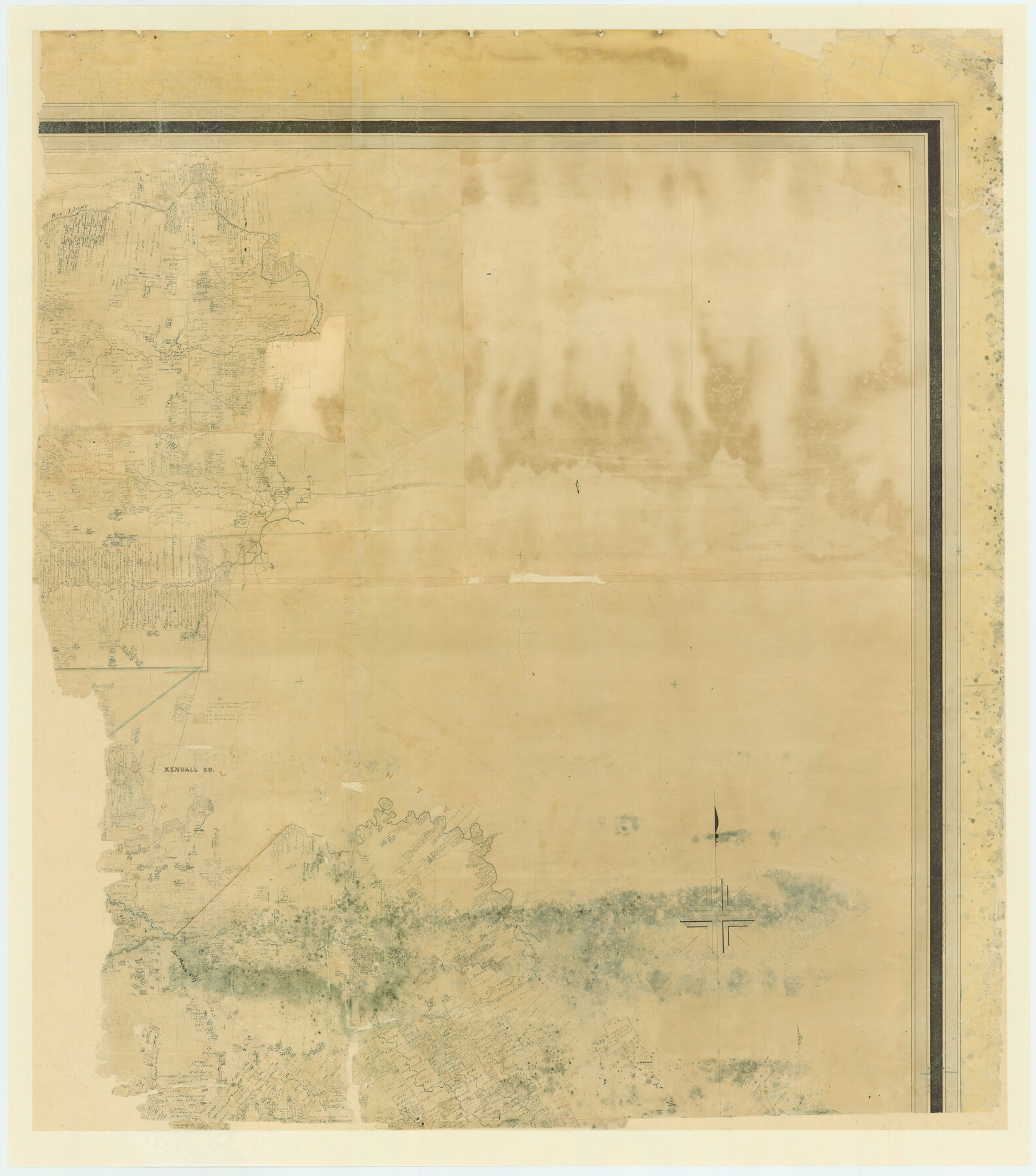
Map of Bexar County
-
Map/Doc
87237
-
Collection
General Map Collection
-
Object Dates
1845 (Creation Date)
-
People and Organizations
John C. Hays (Surveyor/Engineer)
H.L. Upshur (Draftsman)
-
Counties
Bexar Zavala Frio Atascosa Karnes Goliad
-
Subjects
County
-
Height x Width
48.8 x 43.0 inches
124.0 x 109.2 cm
-
Comments
This is the northeast quarter of this large map. For the other pieces see maps 87234, 87235, and 87236.
For a digital composite of the full map see map 82242.
Adopted in 2006 in Memory of Charles Wallace Pratt by loved ones and conservation funded in 2007.
Related maps
Map of Bexar County

Print $40.00
- Digital $50.00
Map of Bexar County
1845
Size 90.6 x 81.0 inches
Map/Doc 82242
Map of Bexar County

Print $20.00
- Digital $50.00
Map of Bexar County
1845
Size 47.4 x 44.9 inches
Map/Doc 87234
Map of Bexar County

Print $20.00
- Digital $50.00
Map of Bexar County
1845
Size 47.5 x 41.7 inches
Map/Doc 87235
Map of Bexar County

Print $40.00
- Digital $50.00
Map of Bexar County
1845
Size 49.0 x 46.5 inches
Map/Doc 87236
Part of: General Map Collection
No. 2 Chart of Corpus Christi Pass, Texas

Print $20.00
- Digital $50.00
No. 2 Chart of Corpus Christi Pass, Texas
1878
Size 18.2 x 27.2 inches
Map/Doc 73029
Hudspeth County Sketch File 40

Print $8.00
- Digital $50.00
Hudspeth County Sketch File 40
1944
Size 11.2 x 8.6 inches
Map/Doc 27012
Hartley County Boundary File 3a

Print $42.00
- Digital $50.00
Hartley County Boundary File 3a
Size 8.6 x 22.0 inches
Map/Doc 54483
Nautical Chart 152-SC - Galveston Bay, Texas

Print $20.00
- Digital $50.00
Nautical Chart 152-SC - Galveston Bay, Texas
1972
Size 15.1 x 32.6 inches
Map/Doc 69892
Howard County Working Sketch 5

Print $20.00
- Digital $50.00
Howard County Working Sketch 5
1944
Size 23.9 x 32.8 inches
Map/Doc 66271
Fractional Township No. 8 South Range No. 1 West of the Indian Meridian, Indian Territory

Print $20.00
- Digital $50.00
Fractional Township No. 8 South Range No. 1 West of the Indian Meridian, Indian Territory
1898
Size 19.2 x 24.4 inches
Map/Doc 75198
Foard County Sketch File 31

Print $6.00
- Digital $50.00
Foard County Sketch File 31
1945
Size 14.5 x 9.1 inches
Map/Doc 22861
Wise County Sketch File 2a

Print $4.00
- Digital $50.00
Wise County Sketch File 2a
1856
Size 12.3 x 8.1 inches
Map/Doc 40526
Crane County Rolled Sketch 17

Print $20.00
- Digital $50.00
Crane County Rolled Sketch 17
1926
Size 20.3 x 33.8 inches
Map/Doc 5576
Le Golfe de Mexique, et les Provinces et Isles qui l'Environe comme sont la Floride au nord, le Mexique ou Nouvelle Espagne a l'ouest, la Terre-Ferme au sud, les Is. Antilles, Lucayes, St. Domingue et Jamaique a l'est

Print $20.00
- Digital $50.00
Le Golfe de Mexique, et les Provinces et Isles qui l'Environe comme sont la Floride au nord, le Mexique ou Nouvelle Espagne a l'ouest, la Terre-Ferme au sud, les Is. Antilles, Lucayes, St. Domingue et Jamaique a l'est
1717
Size 20.2 x 25.7 inches
Map/Doc 95923
Haskell County Boundary File 4a

Print $62.00
- Digital $50.00
Haskell County Boundary File 4a
Size 9.0 x 4.5 inches
Map/Doc 54545
Liberty County Sketch File 49

Print $2.00
- Digital $50.00
Liberty County Sketch File 49
1857
Size 11.8 x 8.3 inches
Map/Doc 30013
You may also like
Boundary between Republic of Texas and US from Logan's Ferry to Red River - surveyed in 1841

Print $20.00
- Digital $50.00
Boundary between Republic of Texas and US from Logan's Ferry to Red River - surveyed in 1841
1841
Size 19.4 x 14.6 inches
Map/Doc 65409
Wilbarger County Sketch File 8

Print $4.00
- Digital $50.00
Wilbarger County Sketch File 8
1885
Size 14.2 x 8.6 inches
Map/Doc 40179
General Highway Map, Mills County, Texas

Print $20.00
General Highway Map, Mills County, Texas
1940
Size 18.4 x 24.8 inches
Map/Doc 79199
Sutton County

Print $40.00
- Digital $50.00
Sutton County
1898
Size 39.1 x 56.5 inches
Map/Doc 63051
Township No. 4 South Range No. 19 West of the Indian Meridian

Print $20.00
- Digital $50.00
Township No. 4 South Range No. 19 West of the Indian Meridian
1875
Size 19.1 x 24.5 inches
Map/Doc 75183
H No. 3 - Reconnoissance of the Passes of the Delta of the Mississippi, Louisiana showing the changes since 1839

Print $20.00
- Digital $50.00
H No. 3 - Reconnoissance of the Passes of the Delta of the Mississippi, Louisiana showing the changes since 1839
1852
Size 15.9 x 22.8 inches
Map/Doc 97224
Map of Safety First Oil Company Holdings in Runnel County Texas

Print $20.00
- Digital $50.00
Map of Safety First Oil Company Holdings in Runnel County Texas
Size 17.6 x 17.4 inches
Map/Doc 91766
Dimmit County Boundary File 5

Print $6.00
- Digital $50.00
Dimmit County Boundary File 5
Size 11.1 x 8.6 inches
Map/Doc 52577
Leon County Rolled Sketch 2

Print $20.00
- Digital $50.00
Leon County Rolled Sketch 2
Size 30.7 x 34.6 inches
Map/Doc 6606
Lampasas County Boundary File 1

Print $4.00
- Digital $50.00
Lampasas County Boundary File 1
Size 10.2 x 8.2 inches
Map/Doc 56093
Map of Cherokee County

Print $20.00
- Digital $50.00
Map of Cherokee County
1877
Size 29.0 x 21.2 inches
Map/Doc 3389
[Sutton County School Land and vicinity]
![92477, [Sutton County School Land and vicinity], Twichell Survey Records](https://historictexasmaps.com/wmedia_w700/maps/92477-1.tif.jpg)
Print $20.00
- Digital $50.00
[Sutton County School Land and vicinity]
Size 21.0 x 34.3 inches
Map/Doc 92477