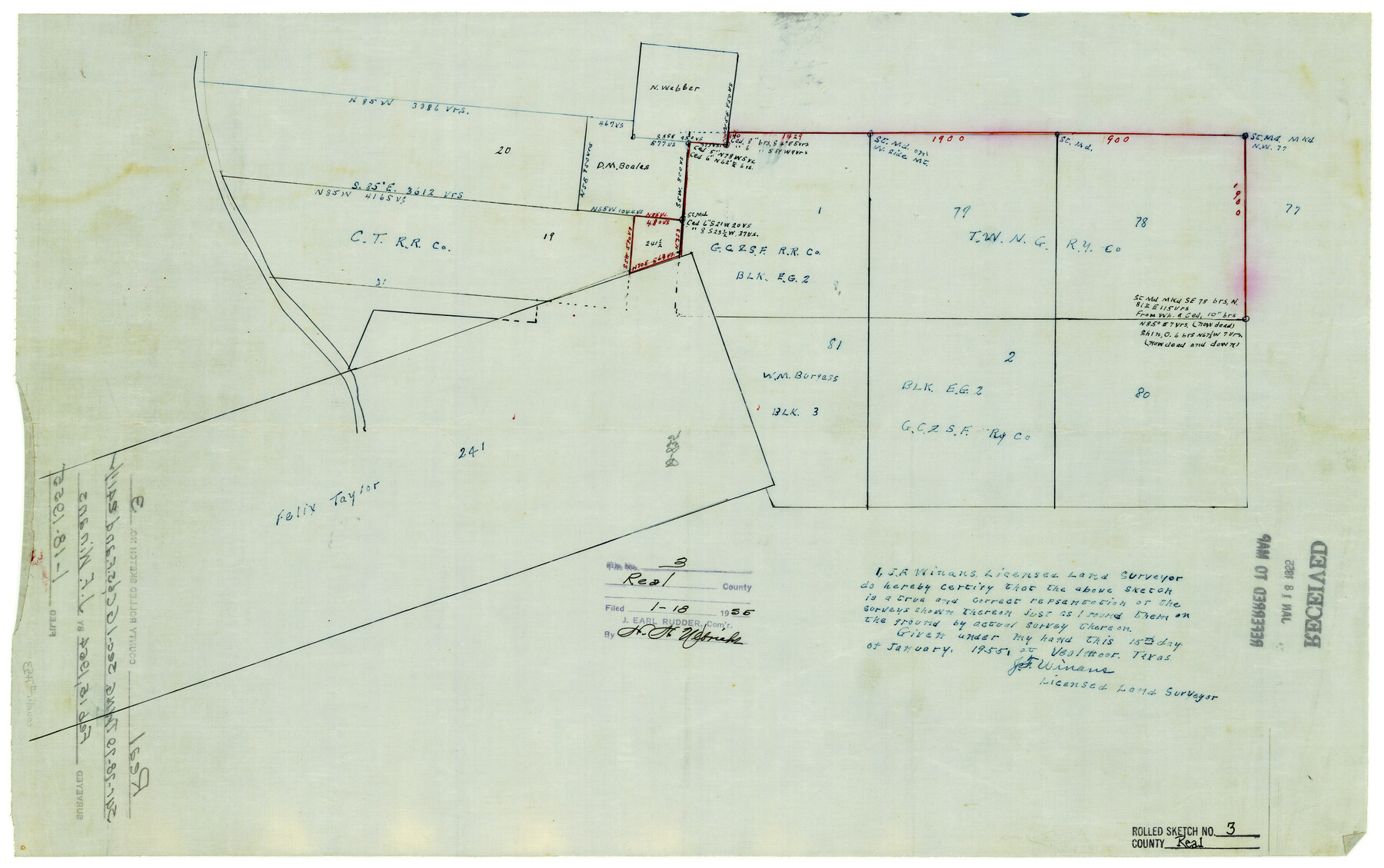
Real County Rolled Sketch 3
[Sketch of surveys around section 241 east of Nueces River]
-
Map/Doc
7453
-
Collection
General Map Collection
-
Object Dates
1/15/1955 (Creation Date)
1/18/1955 (File Date)
-
People and Organizations
J.F. Winans (Surveyor/Engineer)
-
Counties
Real
-
Subjects
Surveying Rolled Sketch
-
Height x Width
14.6 x 23.3 inches
37.1 x 59.2 cm
-
Medium
linen, manuscript
Part of: General Map Collection
Ft. W. & R. G. Ry. Right of Way Map, Chapin to Bluffdale, Hood County, Texas

Print $40.00
- Digital $50.00
Ft. W. & R. G. Ry. Right of Way Map, Chapin to Bluffdale, Hood County, Texas
1918
Size 36.5 x 50.5 inches
Map/Doc 64645
Clay County Sketch File 26

Print $84.00
- Digital $50.00
Clay County Sketch File 26
1888
Size 14.3 x 9.0 inches
Map/Doc 18442
Jackson County Rolled Sketch 11

Print $20.00
- Digital $50.00
Jackson County Rolled Sketch 11
1941
Size 45.9 x 34.3 inches
Map/Doc 9260
Crane County Rolled Sketch 25

Print $20.00
- Digital $50.00
Crane County Rolled Sketch 25
2019
Size 36.2 x 23.8 inches
Map/Doc 95746
[Surveys along the Salado and Lampasas Rivers and Saltillo Creek]
![362, [Surveys along the Salado and Lampasas Rivers and Saltillo Creek], General Map Collection](https://historictexasmaps.com/wmedia_w700/maps/362.tif.jpg)
Print $2.00
- Digital $50.00
[Surveys along the Salado and Lampasas Rivers and Saltillo Creek]
1845
Size 13.1 x 7.8 inches
Map/Doc 362
Harrison County Boundary File 41 (10)

Print $10.00
- Digital $50.00
Harrison County Boundary File 41 (10)
Size 7.1 x 3.4 inches
Map/Doc 54418
Orange County Sabine River Leases 1,2,3,4

Print $20.00
- Digital $50.00
Orange County Sabine River Leases 1,2,3,4
1950
Size 36.5 x 22.4 inches
Map/Doc 1931
Erath County Rolled Sketch 5

Print $20.00
- Digital $50.00
Erath County Rolled Sketch 5
Size 31.2 x 39.5 inches
Map/Doc 8883

Zavala County Working Sketch 26

Print $20.00
- Digital $50.00
Zavala County Working Sketch 26
1990
Size 22.4 x 27.9 inches
Map/Doc 62101
Navigation Maps of Gulf Intracoastal Waterway, Port Arthur to Brownsville, Texas

Print $4.00
- Digital $50.00
Navigation Maps of Gulf Intracoastal Waterway, Port Arthur to Brownsville, Texas
1951
Size 16.6 x 21.5 inches
Map/Doc 65430

You may also like
Aransas County Sketch File 20

Print $4.00
- Digital $50.00
Aransas County Sketch File 20
1896
Size 8.2 x 10.2 inches
Map/Doc 13155
Burnet County Working Sketch 4

Print $20.00
- Digital $50.00
Burnet County Working Sketch 4
1956
Size 18.3 x 33.1 inches
Map/Doc 67847
Concho County Working Sketch 18

Print $20.00
- Digital $50.00
Concho County Working Sketch 18
1957
Size 19.2 x 25.2 inches
Map/Doc 68200
A Fourteen Day Trip for $99.50 through the Great Southwest and the Gulf Coast Country of Texas

A Fourteen Day Trip for $99.50 through the Great Southwest and the Gulf Coast Country of Texas
1912
Map/Doc 96772
Map of the City of Galveston, situated on the East End of Galveston Island, Texas

Print $20.00
Map of the City of Galveston, situated on the East End of Galveston Island, Texas
1869
Size 33.3 x 46.6 inches
Map/Doc 76186
Brazoria County Working Sketch 50b

Print $20.00
- Digital $50.00
Brazoria County Working Sketch 50b
2003
Size 34.8 x 34.6 inches
Map/Doc 78345
Henderson County Rolled Sketch 8

Print $40.00
- Digital $50.00
Henderson County Rolled Sketch 8
1963
Size 37.3 x 50.9 inches
Map/Doc 9164
Kleberg County

Print $20.00
- Digital $50.00
Kleberg County
1913
Size 25.6 x 32.8 inches
Map/Doc 1878
Eastland County Sketch File A

Print $20.00
- Digital $50.00
Eastland County Sketch File A
1887
Size 18.1 x 16.8 inches
Map/Doc 11413

Trinity River, Malloy Bridge Sheet

Print $20.00
- Digital $50.00
Trinity River, Malloy Bridge Sheet
1922
Size 41.7 x 40.2 inches
Map/Doc 65189
Plat of Resurvey of Sections 4, 9, 10 and 23, T. 5S., R. 13W., of the Indian Meridian, Oklahoma

Print $4.00
- Digital $50.00
Plat of Resurvey of Sections 4, 9, 10 and 23, T. 5S., R. 13W., of the Indian Meridian, Oklahoma
1917
Size 18.0 x 22.6 inches
Map/Doc 75143