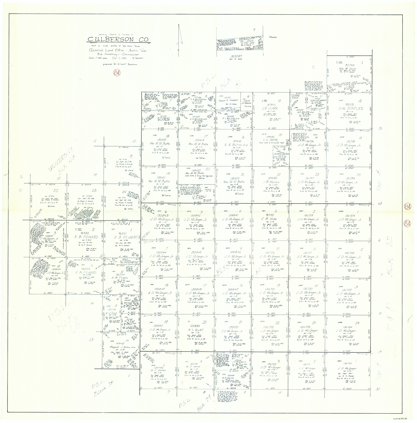
Culberson County Working Sketch 84
-
Map/Doc
68538
-
Collection
General Map Collection
-
Object Dates
12/11/1980 (Creation Date)
-
People and Organizations
Beverly Robison (Draftsman)
-
Counties
Culberson
-
Subjects
Surveying Working Sketch
-
Height x Width
43.5 x 42.9 inches
110.5 x 109.0 cm
-
Scale
1" = 500 varas
Part of: General Map Collection
Map of Potter County

Print $20.00
- Digital $50.00
Map of Potter County
1895
Size 23.6 x 18.6 inches
Map/Doc 4589
Township 2 South Range 12 West, South Western District, Louisiana

Print $20.00
- Digital $50.00
Township 2 South Range 12 West, South Western District, Louisiana
1884
Size 19.7 x 24.7 inches
Map/Doc 65882
Jeff Davis County Working Sketch 40

Print $20.00
- Digital $50.00
Jeff Davis County Working Sketch 40
1981
Size 19.6 x 37.6 inches
Map/Doc 66535
Irion County Boundary File 4

Print $23.00
- Digital $50.00
Irion County Boundary File 4
Size 11.2 x 8.8 inches
Map/Doc 55350
Flight Mission No. BQY-4M, Frame 119, Harris County

Print $20.00
- Digital $50.00
Flight Mission No. BQY-4M, Frame 119, Harris County
1953
Size 18.7 x 22.4 inches
Map/Doc 85287
Hemphill County Rolled Sketch 11

Print $20.00
- Digital $50.00
Hemphill County Rolled Sketch 11
1941
Size 45.1 x 21.8 inches
Map/Doc 9153
Bowie County Working Sketch 9

Print $20.00
- Digital $50.00
Bowie County Working Sketch 9
1956
Size 33.1 x 36.5 inches
Map/Doc 67413
Bexar County Rolled Sketch 4

Print $20.00
- Digital $50.00
Bexar County Rolled Sketch 4
Size 24.3 x 36.8 inches
Map/Doc 5137
Flight Mission No. CUG-3P, Frame 40, Kleberg County

Print $20.00
- Digital $50.00
Flight Mission No. CUG-3P, Frame 40, Kleberg County
1956
Size 18.5 x 22.2 inches
Map/Doc 86245
Jack County Working Sketch 19

Print $20.00
- Digital $50.00
Jack County Working Sketch 19
1989
Size 21.5 x 29.4 inches
Map/Doc 66445
Houston County State Real Property Sketch 1

Print $20.00
- Digital $50.00
Houston County State Real Property Sketch 1
1997
Size 35.5 x 24.4 inches
Map/Doc 80129
Trinity County Sketch File 12

Print $4.00
- Digital $50.00
Trinity County Sketch File 12
1857
Size 12.8 x 8.0 inches
Map/Doc 38535
You may also like
City of San Francisco and its Vicinity, California

Print $20.00
- Digital $50.00
City of San Francisco and its Vicinity, California
1853
Size 28.1 x 20.4 inches
Map/Doc 97233
La Salle County Boundary File 57b

Print $20.00
- Digital $50.00
La Salle County Boundary File 57b
Size 25.6 x 20.6 inches
Map/Doc 56258
La Salle County Rolled Sketch 13

Print $20.00
- Digital $50.00
La Salle County Rolled Sketch 13
1948
Size 28.7 x 34.2 inches
Map/Doc 6576
Andrews County Rolled Sketch 40

Print $20.00
- Digital $50.00
Andrews County Rolled Sketch 40
Size 37.2 x 23.0 inches
Map/Doc 77180
Hays County Rolled Sketch 19

Print $20.00
- Digital $50.00
Hays County Rolled Sketch 19
1887
Size 26.7 x 22.3 inches
Map/Doc 6175
Kimble County Sketch File B

Print $22.00
- Digital $50.00
Kimble County Sketch File B
Size 14.3 x 12.7 inches
Map/Doc 28963
Dimmit County Sketch File 9

Print $6.00
- Digital $50.00
Dimmit County Sketch File 9
Size 8.9 x 11.2 inches
Map/Doc 21070
Hardeman County Sketch File 33

Print $3.00
- Digital $50.00
Hardeman County Sketch File 33
1986
Size 17.7 x 11.7 inches
Map/Doc 25070
La Salle County Working Sketch 19

Print $20.00
- Digital $50.00
La Salle County Working Sketch 19
1941
Size 24.6 x 31.4 inches
Map/Doc 70320
General Highway Map, Brown County, Texas

Print $20.00
General Highway Map, Brown County, Texas
1940
Size 25.0 x 18.4 inches
Map/Doc 79031
San Patricio County Sketch File 9

Print $2.00
- Digital $50.00
San Patricio County Sketch File 9
1846
Size 8.3 x 8.7 inches
Map/Doc 36039
