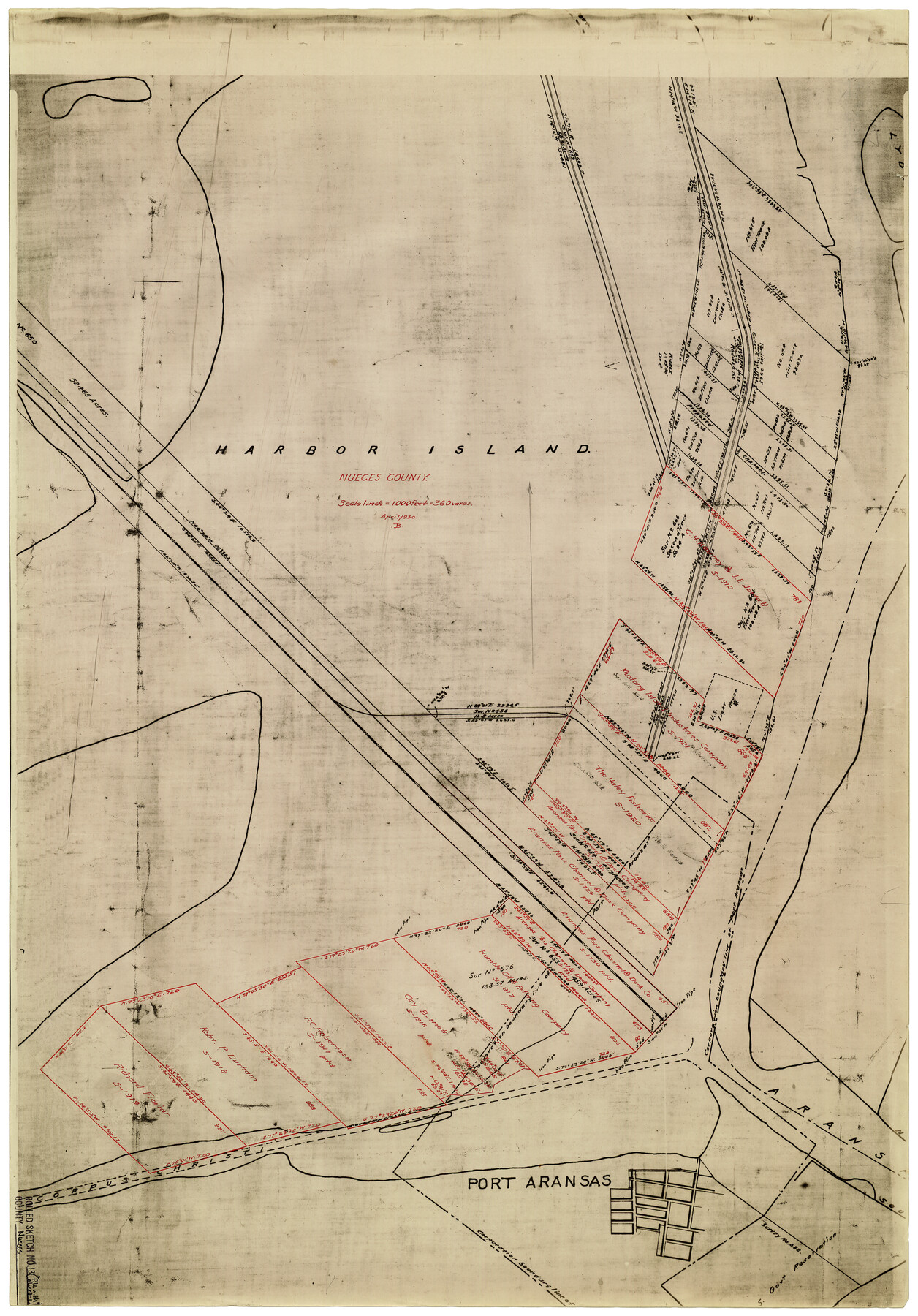
Nueces County Rolled Sketch 13
[Sketch of south part of Harbor Island]
-
Map/Doc
6869
-
Collection
General Map Collection
-
Object Dates
4/1930 (Creation Date)
-
Counties
Nueces
-
Subjects
Surveying Rolled Sketch
-
Height x Width
26.5 x 18.5 inches
67.3 x 47.0 cm
-
Medium
van dyke/brownline/sepia
-
Scale
1" = 360 varas
Part of: General Map Collection
Harrison County Sketch File 8

Print $20.00
- Digital $50.00
Harrison County Sketch File 8
1861
Size 17.3 x 15.9 inches
Map/Doc 11685
Flight Mission No. DCL-3C, Frame 105, Kenedy County

Print $20.00
- Digital $50.00
Flight Mission No. DCL-3C, Frame 105, Kenedy County
1943
Size 18.6 x 22.2 inches
Map/Doc 85800
[Sketch for Mineral Application 27669 - Trinity River, Frank R. Graves]
![65629, [Sketch for Mineral Application 27669 - Trinity River, Frank R. Graves], General Map Collection](https://historictexasmaps.com/wmedia_w700/maps/65629-1.tif.jpg)
Print $40.00
- Digital $50.00
[Sketch for Mineral Application 27669 - Trinity River, Frank R. Graves]
Size 28.0 x 102.2 inches
Map/Doc 65629
Montague County

Print $20.00
- Digital $50.00
Montague County
1924
Size 47.0 x 34.2 inches
Map/Doc 66938
Outer Continental Shelf Leasing Maps (Texas Offshore Operations)

Print $20.00
- Digital $50.00
Outer Continental Shelf Leasing Maps (Texas Offshore Operations)
Size 12.7 x 15.2 inches
Map/Doc 76169
Flight Mission No. BQR-3K, Frame 157, Brazoria County

Print $20.00
- Digital $50.00
Flight Mission No. BQR-3K, Frame 157, Brazoria County
1952
Size 18.7 x 22.3 inches
Map/Doc 83984
Flight Mission No. BRE-4P, Frame 166, Nueces County

Print $20.00
- Digital $50.00
Flight Mission No. BRE-4P, Frame 166, Nueces County
1956
Size 18.5 x 22.4 inches
Map/Doc 86829
Midland County Rolled Sketch 14

Print $20.00
- Digital $50.00
Midland County Rolled Sketch 14
1996
Size 21.3 x 26.7 inches
Map/Doc 6769
Shelby County Working Sketch 7

Print $20.00
- Digital $50.00
Shelby County Working Sketch 7
1942
Size 40.2 x 44.2 inches
Map/Doc 63860
Outer Continental Shelf Leasing Maps (Texas Offshore Operations)

Print $20.00
- Digital $50.00
Outer Continental Shelf Leasing Maps (Texas Offshore Operations)
Size 20.7 x 15.1 inches
Map/Doc 75848
Padre Island National Seashore, Texas - Dependent Resurvey

Print $2.00
- Digital $50.00
Padre Island National Seashore, Texas - Dependent Resurvey
Size 11.5 x 8.3 inches
Map/Doc 60542
Parker County Working Sketch 29

Print $20.00
- Digital $50.00
Parker County Working Sketch 29
2020
Size 24.3 x 35.9 inches
Map/Doc 95961
You may also like
Working Sketch in Moore County

Print $2.00
- Digital $50.00
Working Sketch in Moore County
1909
Size 7.0 x 8.6 inches
Map/Doc 91518
Controlled Mosaic by Jack Amman Photogrammetric Engineers, Inc - Sheet 41

Print $20.00
- Digital $50.00
Controlled Mosaic by Jack Amman Photogrammetric Engineers, Inc - Sheet 41
1954
Size 20.0 x 24.0 inches
Map/Doc 83497

Karnes County Sketch File 15

Print $28.00
- Digital $50.00
Karnes County Sketch File 15
1922
Size 11.4 x 8.8 inches
Map/Doc 28618
Flight Mission No. DIX-3P, Frame 166, Aransas County

Print $20.00
- Digital $50.00
Flight Mission No. DIX-3P, Frame 166, Aransas County
1956
Size 17.8 x 18.7 inches
Map/Doc 83772
Webb County Working Sketch Graphic Index - south part

Print $40.00
- Digital $50.00
Webb County Working Sketch Graphic Index - south part
1984
Size 43.4 x 62.9 inches
Map/Doc 76735
Sketch from Ward and Crane Counties

Print $20.00
- Digital $50.00
Sketch from Ward and Crane Counties
Size 42.9 x 23.6 inches
Map/Doc 92557

Cuadro Historico-Geroglifico de la Peregrinacion de las Tribus Aztecas que Poblaron el Valle de Mexico (Num. 1)

Print $20.00
- Digital $50.00
Cuadro Historico-Geroglifico de la Peregrinacion de las Tribus Aztecas que Poblaron el Valle de Mexico (Num. 1)
Size 22.9 x 31.2 inches
Map/Doc 97013
Gaines County Sketch File 10

Print $40.00
- Digital $50.00
Gaines County Sketch File 10
Size 16.4 x 14.0 inches
Map/Doc 23193
Southwest Part of Anton Chico Grant Guadalupe County, New Mexico

Print $20.00
- Digital $50.00
Southwest Part of Anton Chico Grant Guadalupe County, New Mexico
Size 23.8 x 28.6 inches
Map/Doc 92435
Post Route Map of the State of Texas with Adjacent Parts of Louisiana, Arkansas, Indian Territory and the Republic of Mexico Showing Post Offices with the Intermediate Distances and Mail Routes in Operation on the 1st of April 1891

Print $40.00
Post Route Map of the State of Texas with Adjacent Parts of Louisiana, Arkansas, Indian Territory and the Republic of Mexico Showing Post Offices with the Intermediate Distances and Mail Routes in Operation on the 1st of April 1891
1891
Size 44.5 x 58.2 inches
Map/Doc 89061