[Surveys along the San Antonio and Cibolo Rivers]
Atlas A, Sketch 2 (A-2)
A-2
-
Map/Doc
69
-
Collection
General Map Collection
-
Counties
Wilson
-
Subjects
Atlas
-
Height x Width
16.9 x 20.2 inches
42.9 x 51.3 cm
-
Medium
paper, manuscript
-
Comments
Conserved in 2003.
-
Features
San Antonio River
Cibolo River
Part of: General Map Collection
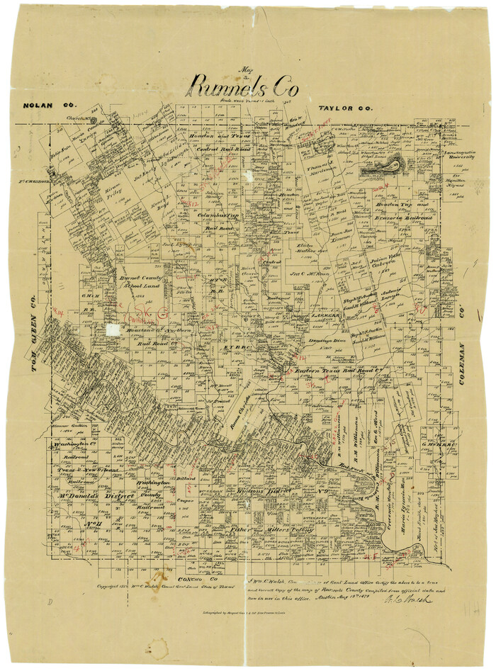
Map of Runnels County

Print $20.00
- Digital $50.00
Map of Runnels County
1879
Size 25.9 x 18.5 inches
Map/Doc 4620
Ward County Working Sketch 37


Print $20.00
- Digital $50.00
Ward County Working Sketch 37
1969
Size 31.3 x 46.9 inches
Map/Doc 72343
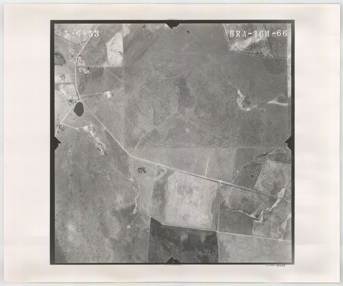
Flight Mission No. BRA-16M, Frame 66, Jefferson County

Print $20.00
- Digital $50.00
Flight Mission No. BRA-16M, Frame 66, Jefferson County
1953
Size 18.6 x 22.3 inches
Map/Doc 85683
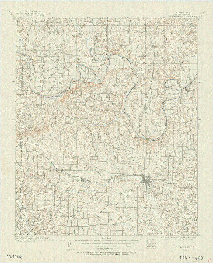
Texas-Oklahoma (Indian Territory) Gainesville Quadrangle

Print $20.00
- Digital $50.00
Texas-Oklahoma (Indian Territory) Gainesville Quadrangle
1902
Size 21.2 x 17.2 inches
Map/Doc 75101
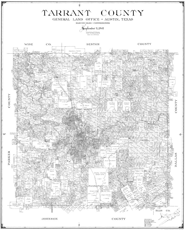
Tarrant County

Print $20.00
- Digital $50.00
Tarrant County
1942
Size 46.5 x 37.1 inches
Map/Doc 77431
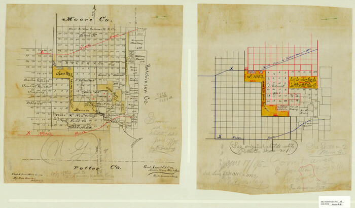
Moore County Sketch File 4

Print $20.00
- Digital $50.00
Moore County Sketch File 4
1895
Size 17.2 x 29.4 inches
Map/Doc 42127
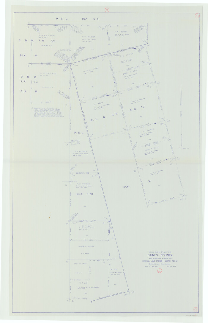
Gaines County Working Sketch 22

Print $40.00
- Digital $50.00
Gaines County Working Sketch 22
1975
Size 52.5 x 33.9 inches
Map/Doc 69322
Rebel Defenses of Galveston and Vicinity


Print $20.00
- Digital $50.00
Rebel Defenses of Galveston and Vicinity
1865
Size 17.0 x 23.7 inches
Map/Doc 61802
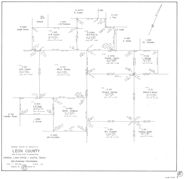
Leon County Working Sketch 49

Print $20.00
- Digital $50.00
Leon County Working Sketch 49
1981
Size 23.9 x 24.7 inches
Map/Doc 70448
Duval County Sketch File 77


Print $20.00
- Digital $50.00
Duval County Sketch File 77
1967
Size 20.4 x 15.5 inches
Map/Doc 11411
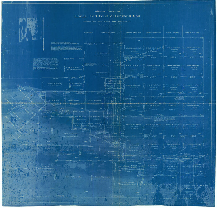
Harris County Working Sketch 17

Print $20.00
- Digital $50.00
Harris County Working Sketch 17
1919
Size 40.0 x 41.6 inches
Map/Doc 65909
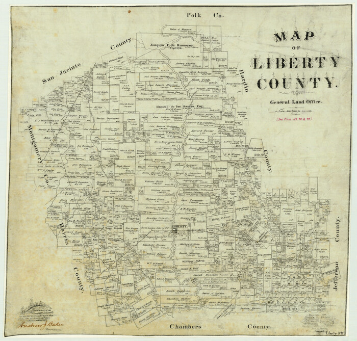
Map of Liberty County Texas

Print $20.00
- Digital $50.00
Map of Liberty County Texas
1895
Size 25.1 x 26.6 inches
Map/Doc 3812
You may also like
Origin of Imports and Destination of Exports at Texas City, Tex., during 1921


Print $20.00
- Digital $50.00
Origin of Imports and Destination of Exports at Texas City, Tex., during 1921
1921
Size 13.4 x 24.9 inches
Map/Doc 97163
Nacogdoches County Sketch File 19


Print $12.00
- Digital $50.00
Nacogdoches County Sketch File 19
1846
Size 17.0 x 11.0 inches
Map/Doc 32270
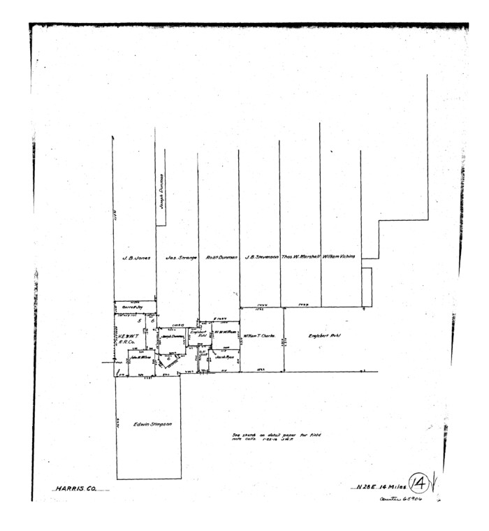
Harris County Working Sketch 14

Print $20.00
- Digital $50.00
Harris County Working Sketch 14
Size 18.9 x 17.4 inches
Map/Doc 65906
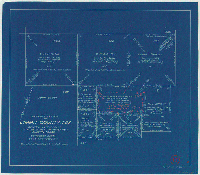
Dimmit County Working Sketch 13

Print $20.00
- Digital $50.00
Dimmit County Working Sketch 13
1941
Size 14.3 x 16.3 inches
Map/Doc 68674
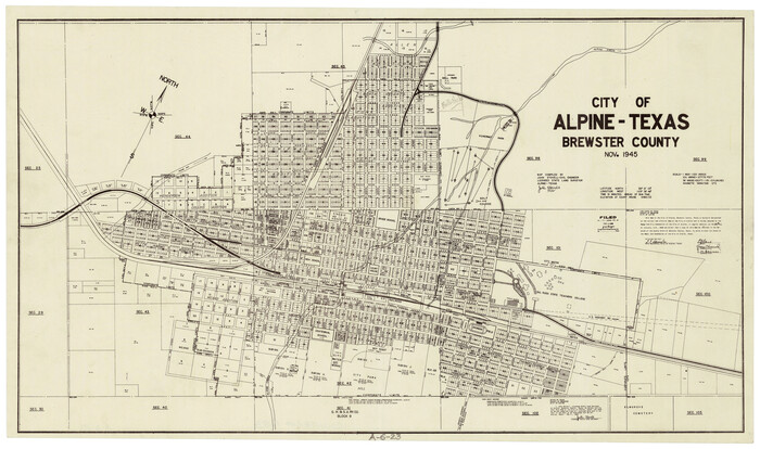
City of Alpine - Texas, Brewster County

Print $20.00
- Digital $50.00
City of Alpine - Texas, Brewster County
1945
Size 11.4 x 19.4 inches
Map/Doc 1683
Texas, Empire State of the Southwest

Texas, Empire State of the Southwest
1911
Size 7.9 x 5.5 inches
Map/Doc 96604
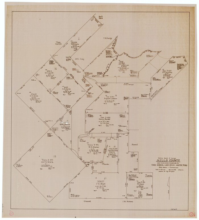
Mills County Working Sketch 24

Print $20.00
- Digital $50.00
Mills County Working Sketch 24
1988
Size 40.3 x 36.5 inches
Map/Doc 71054
Starr County Sketch File 26


Print $20.00
- Digital $50.00
Starr County Sketch File 26
1923
Size 31.7 x 27.2 inches
Map/Doc 10607
Upton County Sketch File 32


Print $20.00
- Digital $50.00
Upton County Sketch File 32
1938
Size 14.9 x 24.0 inches
Map/Doc 12523
[Part of Hutchison County]
![91144, [Part of Hutchison County], Twichell Survey Records](https://historictexasmaps.com/wmedia_w700/maps/91144-1.tif.jpg)
![91144, [Part of Hutchison County], Twichell Survey Records](https://historictexasmaps.com/wmedia_w700/maps/91144-1.tif.jpg)
Print $2.00
- Digital $50.00
[Part of Hutchison County]
1875
Size 7.5 x 11.5 inches
Map/Doc 91144
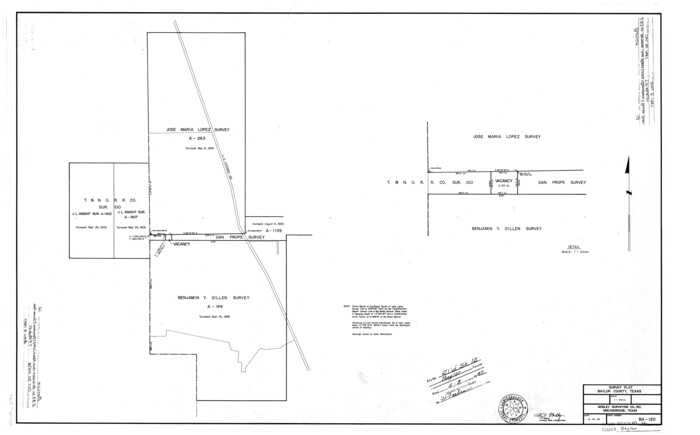
Baylor County Rolled Sketch 12

Print $20.00
- Digital $50.00
Baylor County Rolled Sketch 12
1986
Size 22.4 x 36.0 inches
Map/Doc 5129
![69, [Surveys along the San Antonio and Cibolo Rivers], General Map Collection](https://historictexasmaps.com/wmedia_w1800h1800/maps/69.tif.jpg)
