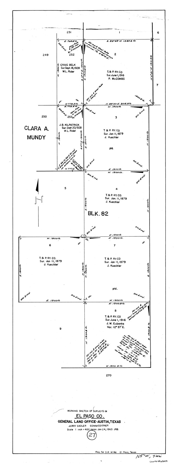
El Paso County Working Sketch 27
-
Map/Doc
69049
-
Collection
General Map Collection
-
Object Dates
1/24/1963 (Creation Date)
-
Counties
El Paso
-
Subjects
Surveying Working Sketch
-
Height x Width
34.2 x 13.2 inches
86.9 x 33.5 cm
-
Scale
1" = 400 varas
Part of: General Map Collection
Cochran County Boundary File 1a

Print $10.00
- Digital $50.00
Cochran County Boundary File 1a
Size 11.2 x 8.8 inches
Map/Doc 51461
Flight Mission No. BRE-5P, Frame 192, Nueces County

Print $20.00
- Digital $50.00
Flight Mission No. BRE-5P, Frame 192, Nueces County
1956
Size 18.4 x 22.3 inches
Map/Doc 86838
Ector County Rolled Sketch 12

Print $38.00
- Digital $50.00
Ector County Rolled Sketch 12
Size 10.1 x 15.4 inches
Map/Doc 44314
Flight Mission No. DAG-17K, Frame 121, Matagorda County

Print $20.00
- Digital $50.00
Flight Mission No. DAG-17K, Frame 121, Matagorda County
1952
Size 16.4 x 16.5 inches
Map/Doc 86341
Val Verde County Working Sketch 113

Print $40.00
- Digital $50.00
Val Verde County Working Sketch 113
2003
Size 54.9 x 34.6 inches
Map/Doc 78492
Jeff Davis County Rolled Sketch 38

Print $20.00
- Digital $50.00
Jeff Davis County Rolled Sketch 38
1994
Size 26.1 x 35.1 inches
Map/Doc 6381
El Paso County Rolled Sketch 52

Print $20.00
- Digital $50.00
El Paso County Rolled Sketch 52
1929
Size 18.5 x 24.3 inches
Map/Doc 5849
Flight Mission No. DCL-6C, Frame 134, Kenedy County

Print $20.00
- Digital $50.00
Flight Mission No. DCL-6C, Frame 134, Kenedy County
1943
Size 18.5 x 22.2 inches
Map/Doc 85964
Kerr County Boundary File 2

Print $46.00
- Digital $50.00
Kerr County Boundary File 2
Size 15.6 x 26.5 inches
Map/Doc 55984
Red River County Working Sketch 81-2

Print $20.00
- Digital $50.00
Red River County Working Sketch 81-2
1987
Size 14.6 x 18.6 inches
Map/Doc 72065
Sutton County Working Sketch 54

Print $20.00
- Digital $50.00
Sutton County Working Sketch 54
1957
Size 28.0 x 38.4 inches
Map/Doc 62397
Angelina County Sketch File 16

Print $11.00
- Digital $50.00
Angelina County Sketch File 16
Size 7.9 x 3.8 inches
Map/Doc 13004
You may also like
Potter County Rolled Sketch 6

Print $20.00
- Digital $50.00
Potter County Rolled Sketch 6
Size 26.3 x 35.0 inches
Map/Doc 7320
Cass County Working Sketch 9

Print $20.00
- Digital $50.00
Cass County Working Sketch 9
1937
Size 28.4 x 32.7 inches
Map/Doc 67912
Roberts County Working Sketch 28

Print $20.00
- Digital $50.00
Roberts County Working Sketch 28
1983
Size 39.7 x 29.8 inches
Map/Doc 63554
Pecos County Sketch File 100

Print $20.00
- Digital $50.00
Pecos County Sketch File 100
1959
Size 16.4 x 29.9 inches
Map/Doc 12186
Grimes County Sketch File 3

Print $20.00
- Digital $50.00
Grimes County Sketch File 3
1871
Size 10.6 x 12.1 inches
Map/Doc 24626
The Mexican Department of Brazos. Created, March 18, 1834

Print $20.00
The Mexican Department of Brazos. Created, March 18, 1834
2020
Size 19.7 x 21.7 inches
Map/Doc 95975
Fannin County Boundary File 1a

Print $40.00
- Digital $50.00
Fannin County Boundary File 1a
1882
Size 36.5 x 9.5 inches
Map/Doc 53279
Angelina County

Print $40.00
- Digital $50.00
Angelina County
1945
Size 39.0 x 48.4 inches
Map/Doc 73068
Schleicher County Sketch File 13

Print $10.00
- Digital $50.00
Schleicher County Sketch File 13
1916
Size 14.4 x 8.9 inches
Map/Doc 36493
Duval County Sketch File 7

Print $4.00
- Digital $50.00
Duval County Sketch File 7
1875
Size 10.9 x 8.6 inches
Map/Doc 21294
Knox County Working Sketch 3

Print $20.00
- Digital $50.00
Knox County Working Sketch 3
1917
Size 25.0 x 17.0 inches
Map/Doc 70245
Clay County Boundary File 6

Print $2.00
- Digital $50.00
Clay County Boundary File 6
Size 8.1 x 3.5 inches
Map/Doc 51376