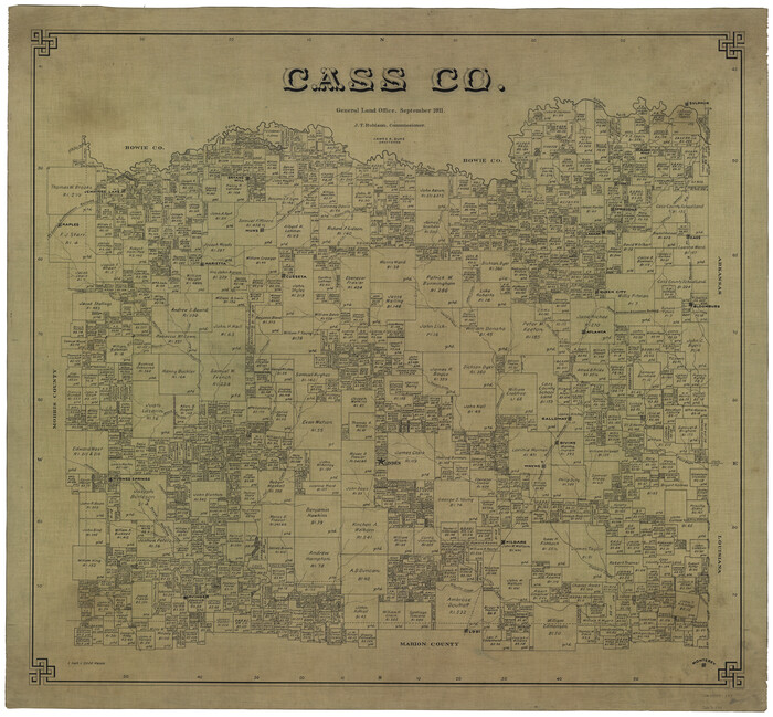
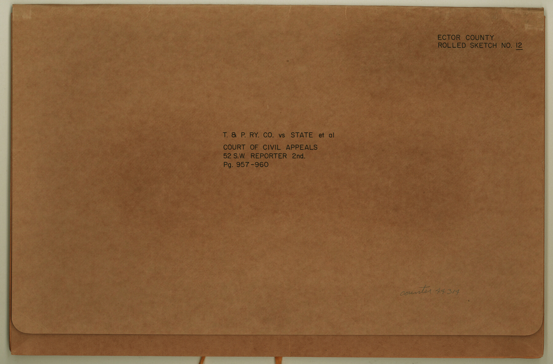
Ector County Rolled Sketch 12
T. & P. Ry. Co. vs State et al - Texas & Pacific Railway Company is denied mineral rights (Title in Fee) on right-of-way in Ector County
-
Map/Doc
44314
-
Collection
General Map Collection
-
Object Dates
1950/8/10 (File Date)
-
Counties
Ector
-
Subjects
Surveying Rolled Sketch
-
Height x Width
10.1 x 15.4 inches
25.7 x 39.1 cm
-
Medium
paper, print
Part of: General Map Collection
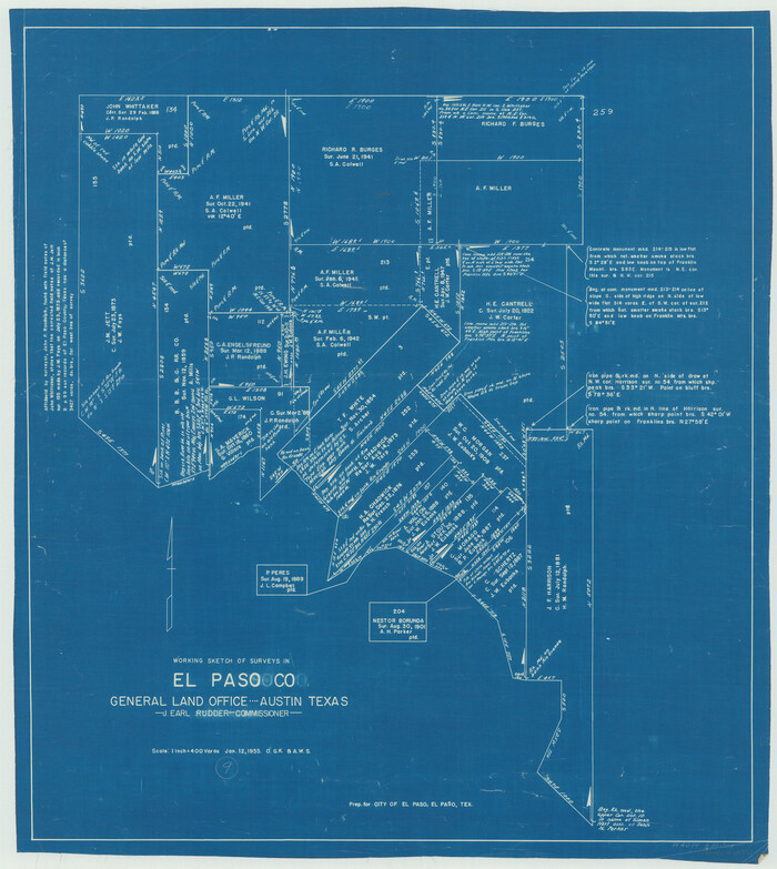
El Paso County Working Sketch 9

Print $20.00
- Digital $50.00
El Paso County Working Sketch 9
1955
Size 28.0 x 25.0 inches
Map/Doc 69031
Flight Mission No. CGI-3N, Frame 175, Cameron County


Print $20.00
- Digital $50.00
Flight Mission No. CGI-3N, Frame 175, Cameron County
1954
Size 18.6 x 22.3 inches
Map/Doc 84639
Flight Mission No. BQR-3K, Frame 158, Brazoria County


Print $20.00
- Digital $50.00
Flight Mission No. BQR-3K, Frame 158, Brazoria County
1952
Size 18.7 x 22.4 inches
Map/Doc 83985
Harris County Working Sketch 24


Print $20.00
- Digital $50.00
Harris County Working Sketch 24
1928
Size 29.3 x 15.9 inches
Map/Doc 65916
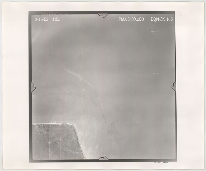
Flight Mission No. DQN-2K, Frame 165, Calhoun County

Print $20.00
- Digital $50.00
Flight Mission No. DQN-2K, Frame 165, Calhoun County
1953
Size 18.5 x 22.3 inches
Map/Doc 84327
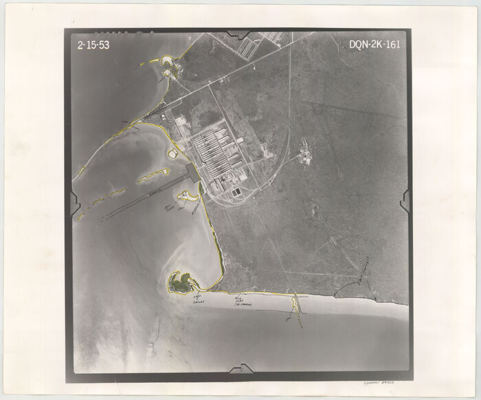
Flight Mission No. DQN-2K, Frame 161, Calhoun County

Print $20.00
- Digital $50.00
Flight Mission No. DQN-2K, Frame 161, Calhoun County
1953
Size 18.5 x 22.3 inches
Map/Doc 84323
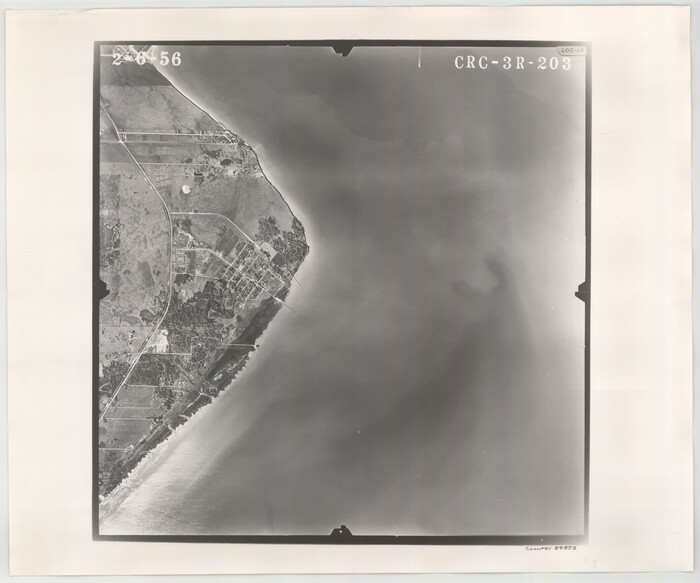
Flight Mission No. CRC-3R, Frame 203, Chambers County

Print $20.00
- Digital $50.00
Flight Mission No. CRC-3R, Frame 203, Chambers County
1956
Size 18.6 x 22.3 inches
Map/Doc 84858
Corpus Christi Pass, Texas


Print $20.00
- Digital $50.00
Corpus Christi Pass, Texas
1871
Size 26.1 x 18.2 inches
Map/Doc 72980
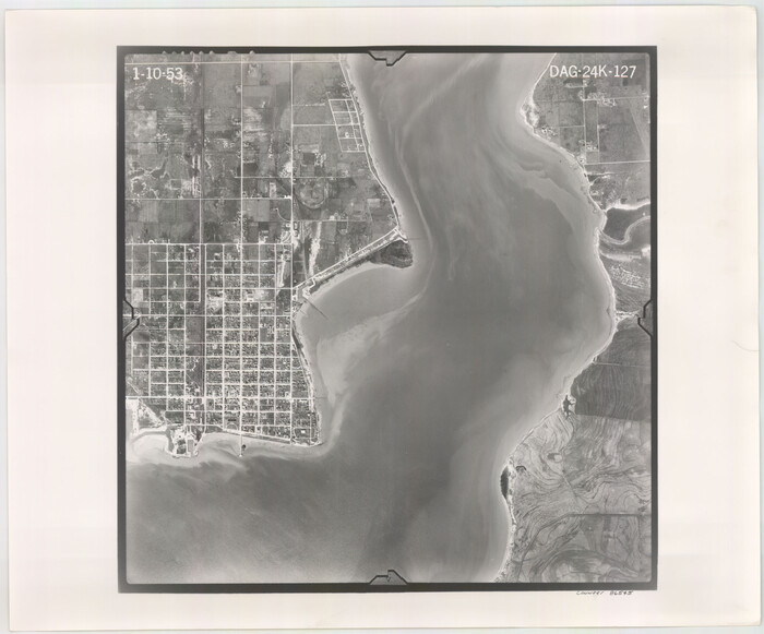
Flight Mission No. DAG-24K, Frame 127, Matagorda County

Print $20.00
- Digital $50.00
Flight Mission No. DAG-24K, Frame 127, Matagorda County
1953
Size 18.5 x 22.2 inches
Map/Doc 86545
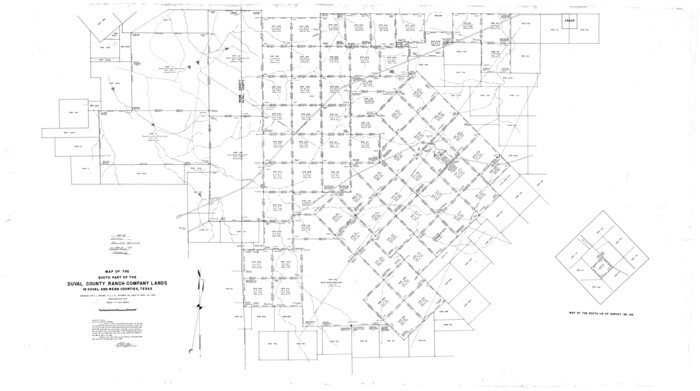
Duval County Rolled Sketch 33B

Print $40.00
- Digital $50.00
Duval County Rolled Sketch 33B
1949
Size 42.5 x 76.2 inches
Map/Doc 8819
You may also like
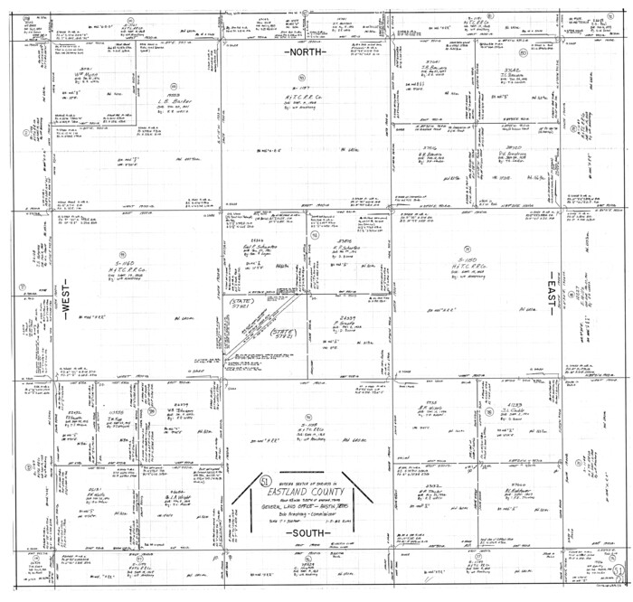
Eastland County Working Sketch 51

Print $20.00
- Digital $50.00
Eastland County Working Sketch 51
1982
Size 37.7 x 39.6 inches
Map/Doc 68832
Public School Land Field Note Volume Index


Public School Land Field Note Volume Index
2023
Size 8.5 x 11.0 inches
Map/Doc 97176
Harris County Sketch File 54


Print $6.00
- Digital $50.00
Harris County Sketch File 54
Size 14.5 x 8.8 inches
Map/Doc 25451
Culberson County Sketch File 32


Print $22.00
- Digital $50.00
Culberson County Sketch File 32
1952
Size 11.2 x 8.7 inches
Map/Doc 20285
Collin County Sketch File 12
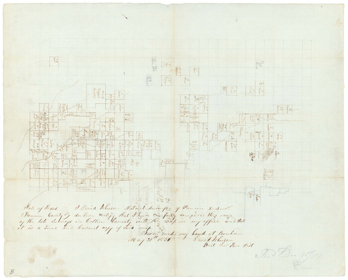

Print $40.00
- Digital $50.00
Collin County Sketch File 12
1851
Size 24.3 x 31.3 inches
Map/Doc 11127
General Highway Map, Hardeman County, Texas


Print $20.00
General Highway Map, Hardeman County, Texas
1940
Size 25.0 x 18.3 inches
Map/Doc 79113
Hemphill County Sketch File 6


Print $8.00
- Digital $50.00
Hemphill County Sketch File 6
1902
Size 14.2 x 8.6 inches
Map/Doc 26299
Flight Mission No. BQR-13K, Frame 123, Brazoria County
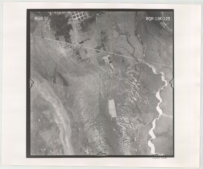

Print $20.00
- Digital $50.00
Flight Mission No. BQR-13K, Frame 123, Brazoria County
1952
Size 18.7 x 22.4 inches
Map/Doc 84084
Shackelford County Rolled Sketch 2
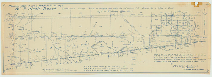

Print $40.00
- Digital $50.00
Shackelford County Rolled Sketch 2
Size 18.9 x 51.9 inches
Map/Doc 75935

![88925, Map of Duval Co[unty], Library of Congress](https://historictexasmaps.com/wmedia_w700/maps/88925-1.tif.jpg)
