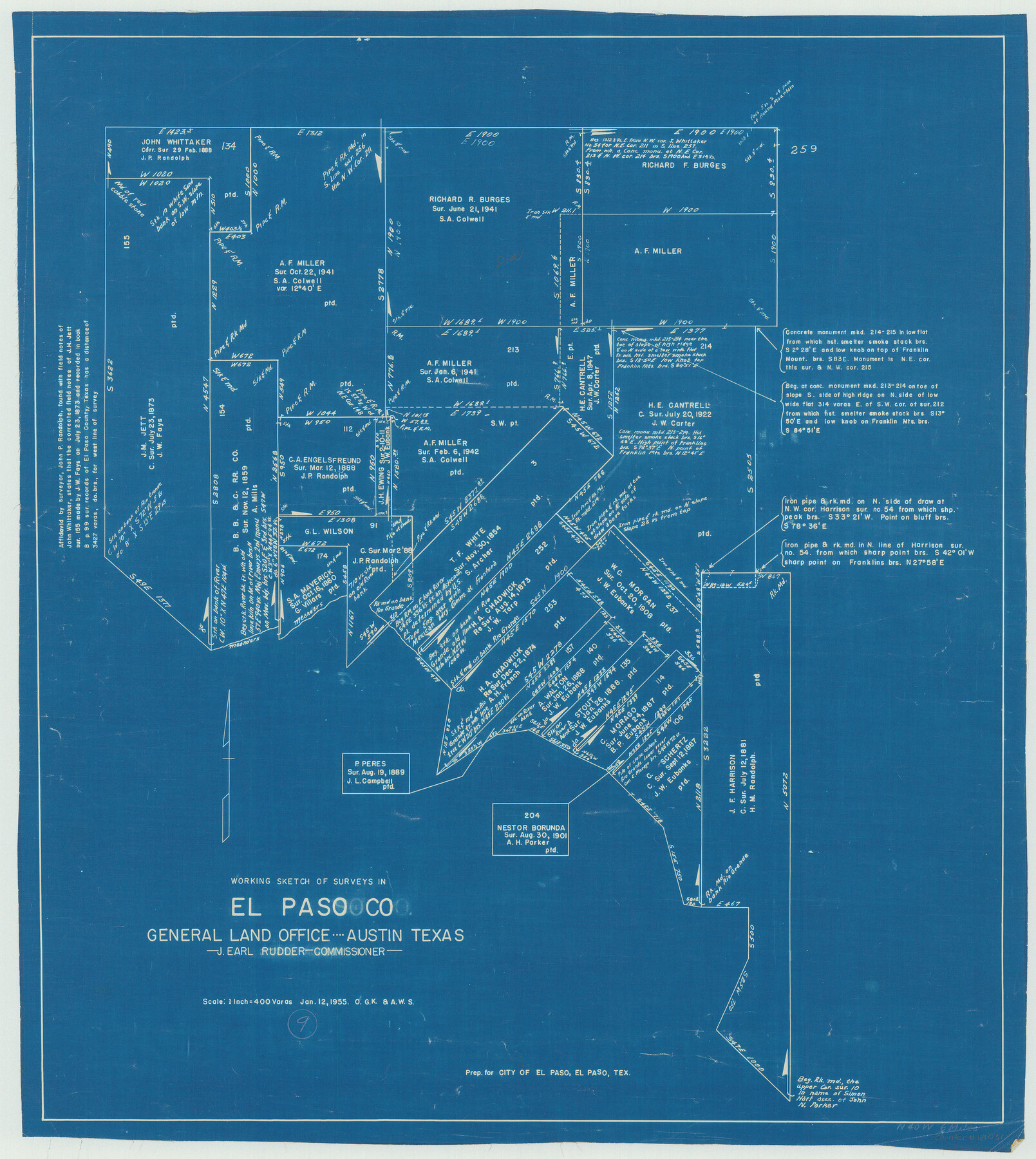
El Paso County Working Sketch 9
-
Map/Doc
69031
-
Collection
General Map Collection
-
Object Dates
1/12/1955 (Creation Date)
-
Counties
El Paso
-
Subjects
Surveying Working Sketch
-
Height x Width
28.0 x 25.0 inches
71.1 x 63.5 cm
-
Scale
1" = 400 varas
Part of: General Map Collection
San Jacinto County Boundary File 2

Print $5.00
- Digital $50.00
San Jacinto County Boundary File 2
Size 15.8 x 11.0 inches
Map/Doc 58561
Hale County Sketch File 14

Print $8.00
- Digital $50.00
Hale County Sketch File 14
Size 14.1 x 8.7 inches
Map/Doc 24743
Orange County Rolled Sketch 20

Print $40.00
- Digital $50.00
Orange County Rolled Sketch 20
1947
Size 35.2 x 64.3 inches
Map/Doc 9645
Texas-Oklahoma Clara Quadrangle

Print $20.00
- Digital $50.00
Texas-Oklahoma Clara Quadrangle
1918
Size 20.4 x 16.9 inches
Map/Doc 75104
King County Working Sketch 15

Print $40.00
- Digital $50.00
King County Working Sketch 15
1979
Size 41.6 x 60.4 inches
Map/Doc 70179
Sketch A Shewing the progress of the Survey in Section No. 1 From 1844 to 1852

Print $20.00
- Digital $50.00
Sketch A Shewing the progress of the Survey in Section No. 1 From 1844 to 1852
1852
Size 38.1 x 25.3 inches
Map/Doc 97200
Leon County Working Sketch 6

Print $20.00
- Digital $50.00
Leon County Working Sketch 6
1905
Size 46.0 x 21.5 inches
Map/Doc 70405
Controlled Mosaic by Jack Amman Photogrammetric Engineers, Inc - Sheet 5

Print $20.00
- Digital $50.00
Controlled Mosaic by Jack Amman Photogrammetric Engineers, Inc - Sheet 5
1954
Size 20.8 x 24.0 inches
Map/Doc 83449
Presidio County Rolled Sketch 90

Print $20.00
- Digital $50.00
Presidio County Rolled Sketch 90
1947
Size 20.5 x 24.4 inches
Map/Doc 7375
Hudspeth County Sketch File 23

Print $20.00
- Digital $50.00
Hudspeth County Sketch File 23
1935
Size 15.1 x 26.9 inches
Map/Doc 11801

Clay County Rolled Sketch 4

Print $20.00
- Digital $50.00
Clay County Rolled Sketch 4
1949
Size 32.2 x 25.6 inches
Map/Doc 5486
You may also like
University Land Field Notes for Blocks 1, 2, 8, 9, and 10 in Reagan County, Blocks 6 and 7 in Crockett and Reagan Counties, Blocks 3, 4, and 58 in Reagan and Upton Counties, and Block 5 in Crockett, Reagan, and Upton Counties

University Land Field Notes for Blocks 1, 2, 8, 9, and 10 in Reagan County, Blocks 6 and 7 in Crockett and Reagan Counties, Blocks 3, 4, and 58 in Reagan and Upton Counties, and Block 5 in Crockett, Reagan, and Upton Counties
Map/Doc 81716
Kerr County Boundary File 2

Print $46.00
- Digital $50.00
Kerr County Boundary File 2
Size 15.6 x 26.5 inches
Map/Doc 55984
Bee County Sketch File 7

Print $8.00
- Digital $50.00
Bee County Sketch File 7
1873
Size 10.1 x 8.0 inches
Map/Doc 14275
Trinity River, Bazzette Sheet

Print $20.00
- Digital $50.00
Trinity River, Bazzette Sheet
1925
Size 27.9 x 23.8 inches
Map/Doc 78339
Motley County Sketch File 23 (S)

Print $2.00
- Digital $50.00
Motley County Sketch File 23 (S)
Size 4.2 x 8.4 inches
Map/Doc 32203
Schleicher County

Print $40.00
- Digital $50.00
Schleicher County
1940
Size 38.7 x 54.9 inches
Map/Doc 73285
Flight Mission No. DQN-2K, Frame 137, Calhoun County

Print $20.00
- Digital $50.00
Flight Mission No. DQN-2K, Frame 137, Calhoun County
1953
Size 18.8 x 22.5 inches
Map/Doc 84306
Coke County Rolled Sketch 6

Print $20.00
- Digital $50.00
Coke County Rolled Sketch 6
Size 31.1 x 32.2 inches
Map/Doc 8625
Flight Mission No. DCL-6C, Frame 112, Kenedy County

Print $20.00
- Digital $50.00
Flight Mission No. DCL-6C, Frame 112, Kenedy County
1943
Size 15.4 x 15.5 inches
Map/Doc 85942
Duval County Sketch File 20 1/2

Print $4.00
- Digital $50.00
Duval County Sketch File 20 1/2
1880
Size 10.3 x 8.4 inches
Map/Doc 21324
Anderson County Sketch File 9

Print $8.00
- Digital $50.00
Anderson County Sketch File 9
Size 12.5 x 8.2 inches
Map/Doc 12761
Ward County Rolled Sketch 13

Print $20.00
- Digital $50.00
Ward County Rolled Sketch 13
1938
Size 30.0 x 20.0 inches
Map/Doc 8156