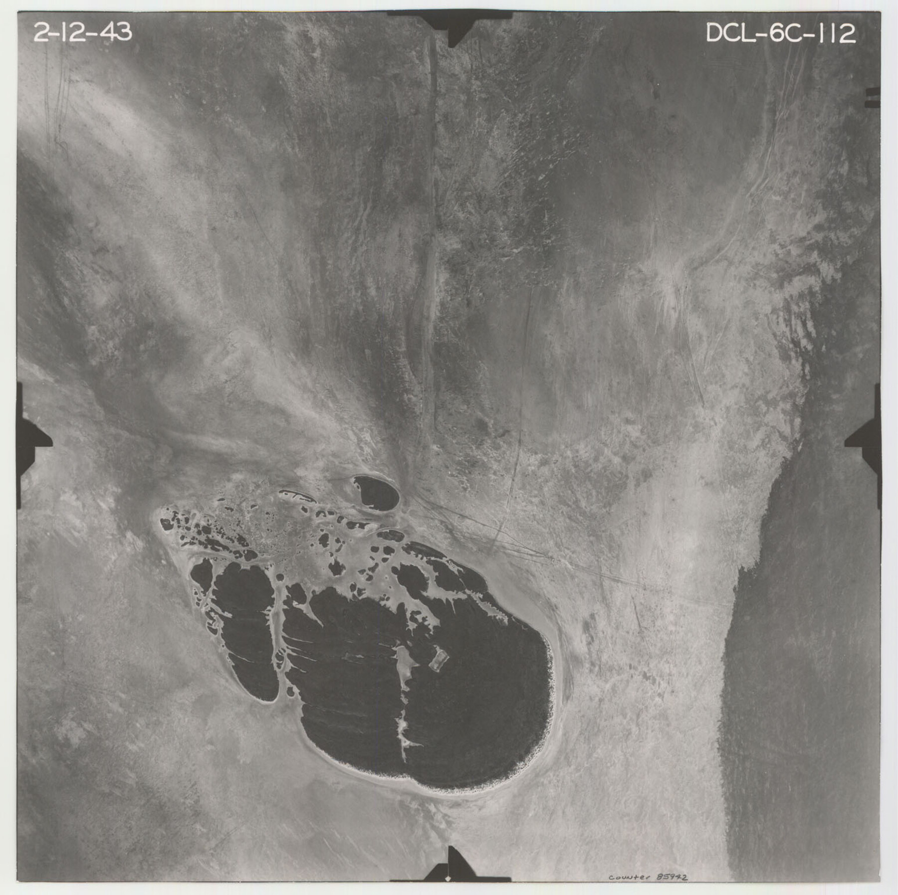
Flight Mission No. DCL-6C, Frame 112, Kenedy County
DCL-6C-112
-
Map/Doc
85942
-
Collection
General Map Collection
-
Object Dates
1943/2/12 (Creation Date)
-
People and Organizations
U. S. Department of Agriculture (Publisher)
-
Counties
Kenedy
-
Subjects
Aerial Photograph
-
Height x Width
15.4 x 15.5 inches
39.1 x 39.4 cm
-
Comments
Flown by Aerial Surveys of Pittsburgh, Inc. of Pittsburgh, Pennsylvania.
Part of: General Map Collection
Partie de l'Amerique Septentrionale, qui Comprend le Canada, la Louisiane, le Labrador, le Groenland, les Etats-Unis et la Floride, &c.

Print $20.00
- Digital $50.00
Partie de l'Amerique Septentrionale, qui Comprend le Canada, la Louisiane, le Labrador, le Groenland, les Etats-Unis et la Floride, &c.
1776
Size 31.2 x 23.4 inches
Map/Doc 95140
Culberson County Rolled Sketch 43

Print $20.00
- Digital $50.00
Culberson County Rolled Sketch 43
1947
Size 20.5 x 36.7 inches
Map/Doc 5664
Floyd County Sketch File 13

Print $36.00
- Digital $50.00
Floyd County Sketch File 13
1913
Size 11.4 x 9.0 inches
Map/Doc 22713
Limestone County Working Sketch 2

Print $20.00
- Digital $50.00
Limestone County Working Sketch 2
Size 17.3 x 15.9 inches
Map/Doc 70552
Schleicher County Working Sketch 27

Print $20.00
- Digital $50.00
Schleicher County Working Sketch 27
1974
Size 26.2 x 31.8 inches
Map/Doc 63829
Donley County Working Sketch 4

Print $20.00
- Digital $50.00
Donley County Working Sketch 4
1958
Size 44.0 x 39.8 inches
Map/Doc 68737
Aransas County Rolled Sketch 31

Print $20.00
- Digital $50.00
Aransas County Rolled Sketch 31
1986
Size 30.0 x 41.4 inches
Map/Doc 77498
Corpus Christi Pass, Texas

Print $20.00
- Digital $50.00
Corpus Christi Pass, Texas
1871
Size 26.1 x 18.2 inches
Map/Doc 72980
Panorama of the seat of war - Birds eye view of Texas and part of Mexico

Print $20.00
- Digital $50.00
Panorama of the seat of war - Birds eye view of Texas and part of Mexico
1861
Size 24.4 x 31.5 inches
Map/Doc 97250
[Surveys along the Cibolo, Balcones and Leon Creeks]
![37, [Surveys along the Cibolo, Balcones and Leon Creeks], General Map Collection](https://historictexasmaps.com/wmedia_w700/maps/37.tif.jpg)
Print $2.00
- Digital $50.00
[Surveys along the Cibolo, Balcones and Leon Creeks]
1841
Size 13.3 x 7.8 inches
Map/Doc 37
Kent County Boundary File 5

Print $6.00
- Digital $50.00
Kent County Boundary File 5
Size 8.6 x 8.6 inches
Map/Doc 55865
Revised Map of Matagorda Bay and Vicinity in Matagorda and Calhoun Counties, showing Subdivision for Mineral Development

Print $40.00
- Digital $50.00
Revised Map of Matagorda Bay and Vicinity in Matagorda and Calhoun Counties, showing Subdivision for Mineral Development
1959
Size 43.8 x 57.0 inches
Map/Doc 1910
You may also like
Block 10, Deshazo, Borden County

Print $20.00
- Digital $50.00
Block 10, Deshazo, Borden County
Size 18.3 x 25.5 inches
Map/Doc 92127

Hardeman County Sketch File A1

Print $14.00
- Digital $50.00
Hardeman County Sketch File A1
1891
Size 12.7 x 8.2 inches
Map/Doc 25045
General Highway Map, Harris County, Texas

Print $20.00
General Highway Map, Harris County, Texas
1939
Size 25.3 x 18.7 inches
Map/Doc 79116
La Salle County Rolled Sketch 5

Print $20.00
- Digital $50.00
La Salle County Rolled Sketch 5
1937
Size 17.8 x 27.4 inches
Map/Doc 6570
Fort Bend County Rolled Sketch 5

Print $20.00
- Digital $50.00
Fort Bend County Rolled Sketch 5
1956
Size 34.6 x 33.5 inches
Map/Doc 5895
Sabine and Neches Rivers

Print $20.00
- Digital $50.00
Sabine and Neches Rivers
1973
Size 19.7 x 44.6 inches
Map/Doc 69818
Cherokee County Sketch File 22b

Print $20.00
- Digital $50.00
Cherokee County Sketch File 22b
1906
Size 15.5 x 14.0 inches
Map/Doc 82019
Rusk County Sketch File 9

Print $4.00
Rusk County Sketch File 9
1849
Size 8.4 x 8.2 inches
Map/Doc 35505
Flight Mission No. BRE-3P, Frame 79, Nueces County

Print $20.00
- Digital $50.00
Flight Mission No. BRE-3P, Frame 79, Nueces County
1956
Size 18.6 x 22.5 inches
Map/Doc 86820
Travis County Working Sketch 47

Print $40.00
- Digital $50.00
Travis County Working Sketch 47
1981
Size 55.5 x 41.8 inches
Map/Doc 69431
Calcasieu Pass to Sabine Pass

Print $20.00
- Digital $50.00
Calcasieu Pass to Sabine Pass
1961
Size 44.6 x 35.7 inches
Map/Doc 69809