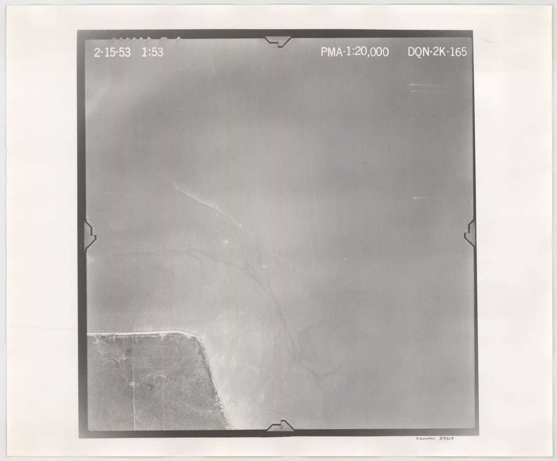
Flight Mission No. DQN-2K, Frame 165, Calhoun County
DQN-2K-165
-
Map/Doc
84327
-
Collection
General Map Collection
-
Object Dates
1953/2/15 (Creation Date)
-
People and Organizations
U. S. Department of Agriculture (Publisher)
-
Counties
Calhoun
-
Subjects
Aerial Photograph
-
Height x Width
18.5 x 22.3 inches
47.0 x 56.6 cm
-
Comments
Flown by Aero Exploration Company of Tulsa, Oklahoma.
Part of: General Map Collection
Reagan County Rolled Sketch 16

Print $20.00
- Digital $50.00
Reagan County Rolled Sketch 16
Size 25.6 x 47.5 inches
Map/Doc 9811
Webb County Sketch File VOLP

Print $40.00
- Digital $50.00
Webb County Sketch File VOLP
1937
Size 18.9 x 33.8 inches
Map/Doc 12607
Jefferson County Rolled Sketch 15

Print $147.00
- Digital $50.00
Jefferson County Rolled Sketch 15
1931
Size 10.0 x 15.2 inches
Map/Doc 46298
Deaf Smith County Rolled Sketch 4

Print $20.00
- Digital $50.00
Deaf Smith County Rolled Sketch 4
Size 23.9 x 18.0 inches
Map/Doc 96789
La table des isles neufues, lesquelles on appelle isles d'occident & d'Indie pour divers regardz

Print $20.00
- Digital $50.00
La table des isles neufues, lesquelles on appelle isles d'occident & d'Indie pour divers regardz
1552
Size 12.3 x 15.7 inches
Map/Doc 95836
Culberson County Sketch File 18

Print $8.00
- Digital $50.00
Culberson County Sketch File 18
Size 14.3 x 8.8 inches
Map/Doc 20185
Ector County Rolled Sketch 13

Print $40.00
- Digital $50.00
Ector County Rolled Sketch 13
1957
Size 49.2 x 32.0 inches
Map/Doc 8841
Schleicher County Rolled Sketch 25

Print $20.00
- Digital $50.00
Schleicher County Rolled Sketch 25
1969
Size 32.3 x 37.9 inches
Map/Doc 9908
Kent County Boundary File 10

Print $16.00
- Digital $50.00
Kent County Boundary File 10
Size 14.0 x 8.8 inches
Map/Doc 55887
San Patricio County Working Sketch 16

Print $20.00
- Digital $50.00
San Patricio County Working Sketch 16
1952
Size 41.6 x 32.1 inches
Map/Doc 63778

Duval County Sketch File 43

Print $20.00
- Digital $50.00
Duval County Sketch File 43
Size 22.9 x 21.1 inches
Map/Doc 11398
You may also like
Township 1 North Range 11 West, North Western District, Louisiana

Print $3.00
- Digital $50.00
Township 1 North Range 11 West, North Western District, Louisiana
1884
Size 17.5 x 21.5 inches
Map/Doc 65892
Topographical Map of the Rio Grande, Sheet No. 21

Print $20.00
- Digital $50.00
Topographical Map of the Rio Grande, Sheet No. 21
1912
Map/Doc 89545
[Sketch in vicinity of Wm. McCutcheon, S. H. Reid and John McGinley]
![92129, [Sketch in vicinity of Wm. McCutcheon, S. H. Reid and John McGinley], Twichell Survey Records](https://historictexasmaps.com/wmedia_w700/maps/92129-1.tif.jpg)
Print $20.00
- Digital $50.00
[Sketch in vicinity of Wm. McCutcheon, S. H. Reid and John McGinley]
1923
Size 20.0 x 12.4 inches
Map/Doc 92129
Flight Mission No. CRC-3R, Frame 197, Chambers County

Print $20.00
- Digital $50.00
Flight Mission No. CRC-3R, Frame 197, Chambers County
1956
Size 18.5 x 22.3 inches
Map/Doc 84852
Borden County Boundary File 7

Print $29.00
- Digital $50.00
Borden County Boundary File 7
1965
Size 11.2 x 8.8 inches
Map/Doc 61161
Cass County Working Sketch 48

Print $20.00
- Digital $50.00
Cass County Working Sketch 48
1992
Size 21.3 x 36.4 inches
Map/Doc 67951
Coast Chart No. 210 - Aransas Pass and Corpus Christi Bay with the coast to latitude 27° 12', Texas

Print $20.00
- Digital $50.00
Coast Chart No. 210 - Aransas Pass and Corpus Christi Bay with the coast to latitude 27° 12', Texas
1907
Size 18.4 x 24.2 inches
Map/Doc 73450
Trinity County Boundary File 102

Print $14.00
- Digital $50.00
Trinity County Boundary File 102
Size 9.2 x 4.6 inches
Map/Doc 59480
[Sketch showing Midland and Martin County School Land Leagues]
![90295, [Sketch showing Midland and Martin County School Land Leagues], Twichell Survey Records](https://historictexasmaps.com/wmedia_w700/maps/90295-1.tif.jpg)
Print $20.00
- Digital $50.00
[Sketch showing Midland and Martin County School Land Leagues]
Size 14.0 x 18.0 inches
Map/Doc 90295
Jefferson County Rolled Sketch 56

Print $20.00
- Digital $50.00
Jefferson County Rolled Sketch 56
1953
Size 32.1 x 43.8 inches
Map/Doc 6406
Baylor County Sketch File 21

Print $40.00
- Digital $50.00
Baylor County Sketch File 21
Size 17.5 x 30.7 inches
Map/Doc 10908
Caddo-Breckenridge Districts, Stephens County, Texas Ranger-Eastland-Cisco Districts Eastland County, Texas

Print $20.00
- Digital $50.00
Caddo-Breckenridge Districts, Stephens County, Texas Ranger-Eastland-Cisco Districts Eastland County, Texas
1919
Size 34.9 x 44.5 inches
Map/Doc 89808