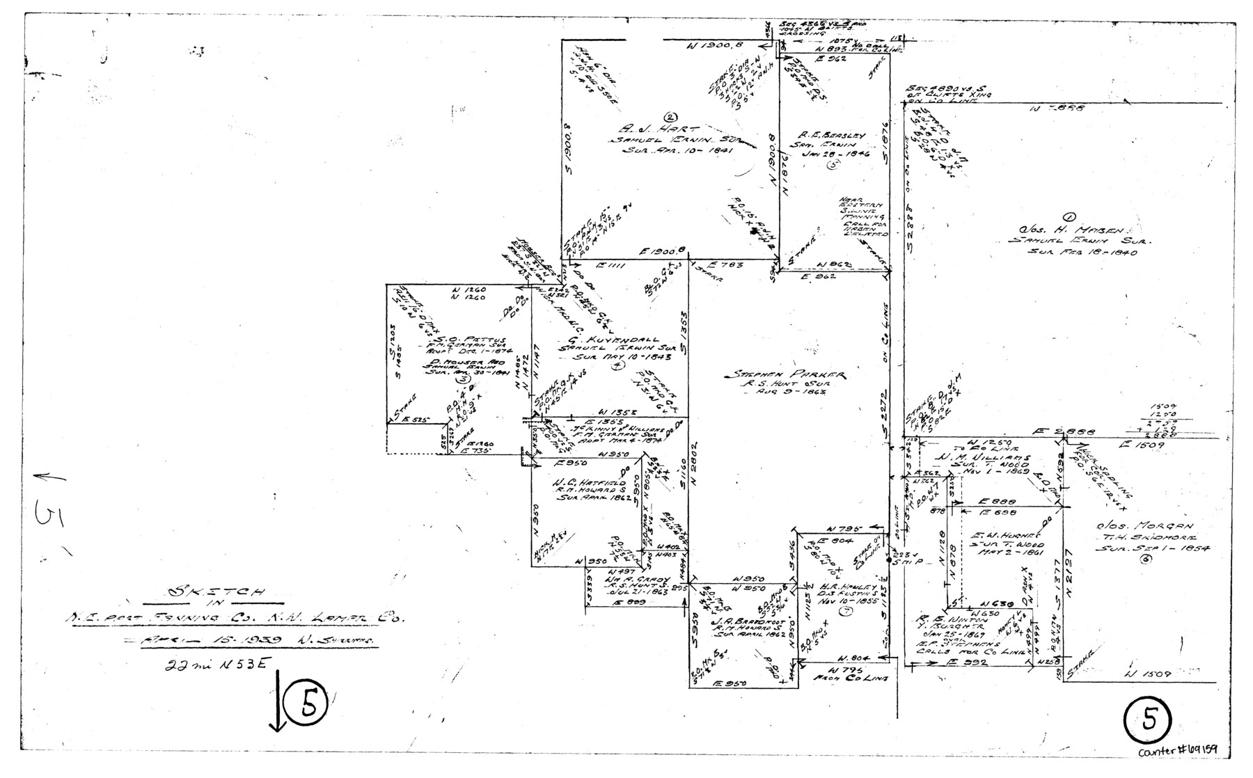
Fannin County Working Sketch 5
-
Map/Doc
69159
-
Collection
General Map Collection
-
Object Dates
4/15/1939 (Creation Date)
-
People and Organizations
William Shirriffs (Draftsman)
-
Counties
Fannin
-
Subjects
Surveying Working Sketch
-
Height x Width
11.2 x 18.1 inches
28.5 x 46.0 cm
Part of: General Map Collection
Waller County Sketch File 11

Print $40.00
- Digital $50.00
Waller County Sketch File 11
1913
Size 16.6 x 14.3 inches
Map/Doc 39614
Map of Lake Travis with detailed maps of Lakeway, Briarcliff, Lago Vista, Highland Lake Estates

Map of Lake Travis with detailed maps of Lakeway, Briarcliff, Lago Vista, Highland Lake Estates
Size 23.0 x 35.2 inches
Map/Doc 94373
Brown County Sketch File 6

Print $6.00
- Digital $50.00
Brown County Sketch File 6
1858
Size 10.4 x 8.3 inches
Map/Doc 16587
Williamson County Working Sketch 15

Print $20.00
- Digital $50.00
Williamson County Working Sketch 15
1982
Size 22.3 x 28.4 inches
Map/Doc 72575
Brewster County Rolled Sketch 64

Print $20.00
- Digital $50.00
Brewster County Rolled Sketch 64
1940
Size 17.1 x 21.0 inches
Map/Doc 5232
Nueces County NRC Article 33.136 Location Key Sheet

Print $20.00
- Digital $50.00
Nueces County NRC Article 33.136 Location Key Sheet
1975
Size 27.0 x 23.0 inches
Map/Doc 77031
Dickens County Working Sketch 11

Print $40.00
- Digital $50.00
Dickens County Working Sketch 11
1969
Size 52.6 x 37.8 inches
Map/Doc 68659
[Missouri, Kansas & Texas Line Map through Bastrop County]
![64031, [Missouri, Kansas & Texas Line Map through Bastrop County], General Map Collection](https://historictexasmaps.com/wmedia_w700/maps/64031.tif.jpg)
Print $40.00
- Digital $50.00
[Missouri, Kansas & Texas Line Map through Bastrop County]
1916
Size 26.5 x 124.4 inches
Map/Doc 64031
Cochran County

Print $20.00
- Digital $50.00
Cochran County
1913
Size 29.1 x 20.0 inches
Map/Doc 4743
Archer County Working Sketch 16

Print $20.00
- Digital $50.00
Archer County Working Sketch 16
1939
Size 10.9 x 17.8 inches
Map/Doc 67157
Bowie County Working Sketch 22

Print $40.00
- Digital $50.00
Bowie County Working Sketch 22
1968
Size 49.0 x 37.8 inches
Map/Doc 67426

You may also like
Nueces County Rolled Sketch 13

Print $20.00
- Digital $50.00
Nueces County Rolled Sketch 13
Size 22.1 x 28.9 inches
Map/Doc 6870
Wichita County Rolled Sketch 11

Print $20.00
- Digital $50.00
Wichita County Rolled Sketch 11
Size 20.8 x 18.6 inches
Map/Doc 8248
Red River County Sketch File 24

Print $6.00
- Digital $50.00
Red River County Sketch File 24
1920
Size 11.4 x 8.8 inches
Map/Doc 35158
Yoakum County, Texas

Print $20.00
- Digital $50.00
Yoakum County, Texas
1936
Size 38.4 x 43.5 inches
Map/Doc 89903
Garza County Rolled Sketch R1

Print $40.00
- Digital $50.00
Garza County Rolled Sketch R1
Size 32.1 x 49.3 inches
Map/Doc 9045
Foard County Sketch File 20

Print $4.00
- Digital $50.00
Foard County Sketch File 20
1885
Size 14.3 x 9.0 inches
Map/Doc 22837
Webb County Sketch File 48

Print $20.00
- Digital $50.00
Webb County Sketch File 48
1939
Size 17.9 x 26.7 inches
Map/Doc 12646
Upton County Sketch File 19

Print $20.00
- Digital $50.00
Upton County Sketch File 19
1927
Size 21.2 x 21.4 inches
Map/Doc 12515
Sulphur River, Dunbar Creek Sheet

Print $4.00
- Digital $50.00
Sulphur River, Dunbar Creek Sheet
1941
Size 17.2 x 20.9 inches
Map/Doc 65174
Midland County Sketch File 4

Print $20.00
- Digital $50.00
Midland County Sketch File 4
1886
Size 16.3 x 18.9 inches
Map/Doc 12082
[Sketch for Mineral Application 19560 - 19588 - San Bernard River]
![65662, [Sketch for Mineral Application 19560 - 19588 - San Bernard River], General Map Collection](https://historictexasmaps.com/wmedia_w700/maps/65662.tif.jpg)
Print $40.00
- Digital $50.00
[Sketch for Mineral Application 19560 - 19588 - San Bernard River]
Size 31.6 x 73.6 inches
Map/Doc 65662
Hale County Boundary File 4a

Print $60.00
- Digital $50.00
Hale County Boundary File 4a
Size 31.2 x 41.9 inches
Map/Doc 54068